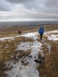
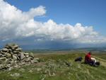
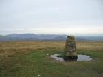
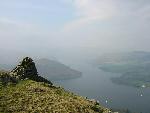
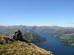
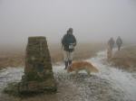
Loadpot Hill
Height: 671m/2,201ft
Grid Reference: NY457181
Lists: FRCC (105) Wainwright (FE.18)
Ascents: 10
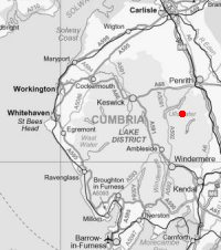
Thu 28 Mar 2013 - Loadpot Hill from Roehead
Roehead - The Cockpit, Moor Divock - High Street Roman Road - Loadpot Hill - Lowther House - High Street Roman Road - The Cockpit - Roehead [9.00 miles 1,500ft ascent]
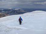
Sun 14 Mar 2010 - Loadpot Hill and Fusedale
Roehead - The Cockpit, Moor Divock - White Knott - Arthur's Pike - Loadpot Hill - Wether Hill - Fusedale - St. Peter's Church, Martindale [9.00 miles 1,950ft ascent]
Fri 1 Aug 2008 - A Cawdale Round
Moorahill Farm - The Pen - Loadpot Hill - Wether Hill - Low Kop - The Hause - Moorahill Farm [6.75 miles 1,350ft ascent]

Mon 26 May 2008 - Loadpot Hill from Roehead
Roehead - The Cockpit, Moor Divock - White Knott - Barton Fell - Arthur's Pike - Bonscale Pike - High Street Roman Road - Lowther House - Loadpot Hill - High Street Roman Road - The Cockpit - Roehead [9.75 miles 1,650ft ascent]
Sun 22 Jul 2007 - Arthur's Pike, Bonscale Pike and Loadpot Hill
Above Helton - Cop Stone - Moor Divock - The Cockpit - White Knott - Arthur's Pike - Bonscale Pike - Loadpot Hill - High Street Roman Road - Knotts (Helton Fell) - Above Helton [9.25 miles 1,500ft ascent]
Wed 25 Oct 2006 - High Raise from Bampton
Bampton - Cawdale - The Pen - Loadpot Hill - Wether Hill - Red Crag - Redcrag Tarn - Raven Howe - High Raise - Low Raise - Long Grain - Measand End - Measand Beck - standing stones - Four Stones Hill - Drybarrows - Bampton [12.75 miles 2,700ft ascent]
Sun 3 Apr 2005 - Heughscar Hill, Arthur's Pike and Loadpot Hill
Askham - Heughscar Hill - The Cockpit - White Knott - Barton Fell - Arthur's Pike - High Street Roman Road - Loadpot Hill - High Street Roman Road - The Cockpit - Moor Divock - Askham Fell - Askham [11.50 miles 1,975ft ascent]
Sat 13 Sep 2003 - The Fusedale Skyline
Howtown - White Knott - Arthur's Pike - Bonscale Pike - Loadpot Hill - Wether Hill - Steel Knotts - Howtown [10.00 miles 2,400ft ascent]
Sun 30 Dec 2001 - Howtown circuit
Howtown - Steel Knotts - Wether Hill - Loadpot Hill - Arthur's Pike - Bonscale Pike - Howtown [8.00 miles 2,400ft ascent]
Sat 14 Aug 1993 - Ramps Gill Round
Martindale Old Church - Loadpot Hill - Wether Hill - Red Crag - High Raise - Kidsty Pike - Rampsgill Head - The Knott - Rest Dodd - The Nab - Martindale Old Church [12.75 miles 3,285ft ascent]