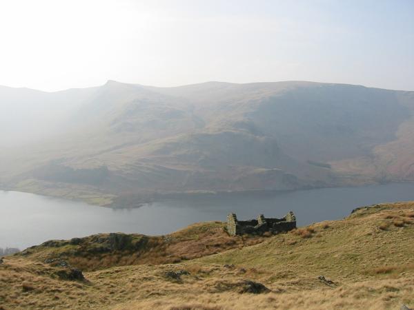
Mardale Head skyline
Sat 30 Mar 2002
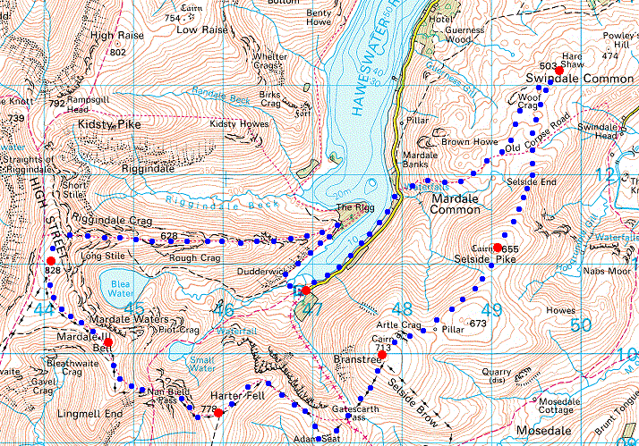
Route: Mardale Head - Rough Crag - Caspel Gate Tarn - Long Stile - High Street - Mardale Ill Bell - Nan Bield Pass - Harter Fell - Adam Seat - Gatescarth Pass - Branstree - Selside Pike - Hare Shaw - Old Corpse Road - Haweswater lakeside path - Mardale Head
Distance: 12.30 miles
Ascent: 3,415ft
Time: 5 hours 45 minutes
With: Anne
Notes:
Cloudy at first becoming very hazy with blue sky and sunshine
© Crown copyright. All rights reserved. Licence number AL100038401
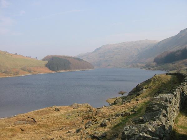
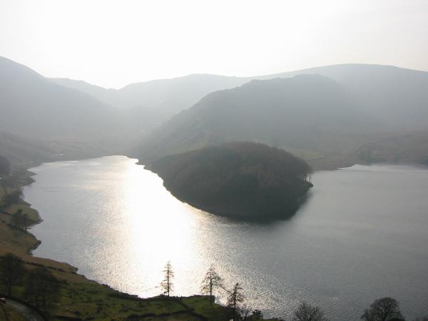
Haweswater from Mardale Head
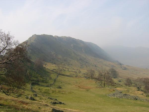
Rough Crag and Riggindale
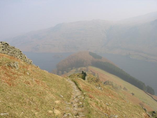
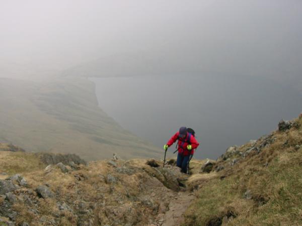
Looking back down on The Rigg and Haweswater from the climb up Rough Crag
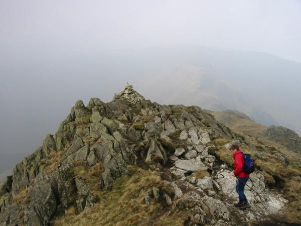
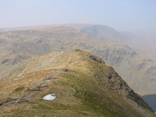
Rough Crag summit
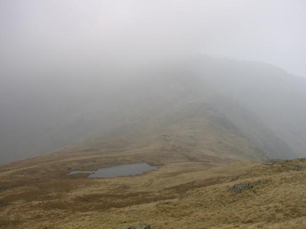
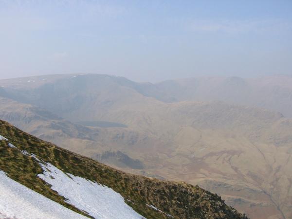
Caspel Gate Tarn and High Street in the gloom
Climbing up Long Stile with Blea Water below
Approaching High Street summit
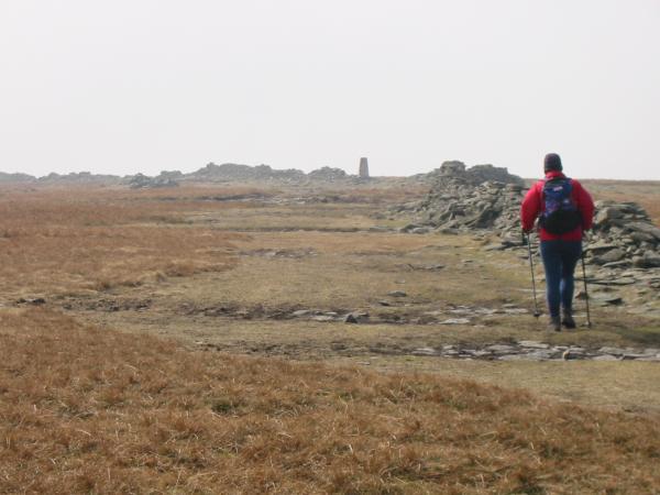
Heading towards Mardale Ill Bell from High Street
Harter Fell from Mardale Ill Bell summit cairn
Nan Bield Pass and the ridge onto Harter Fell
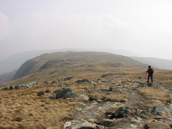
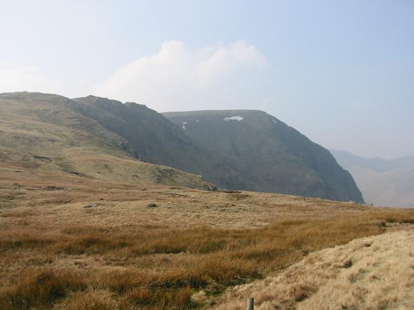
Mardale Ill Bell and High Street from the climb up Harter Fell
Mardale Ill Bell and High Street from Harter Fell summit cairn
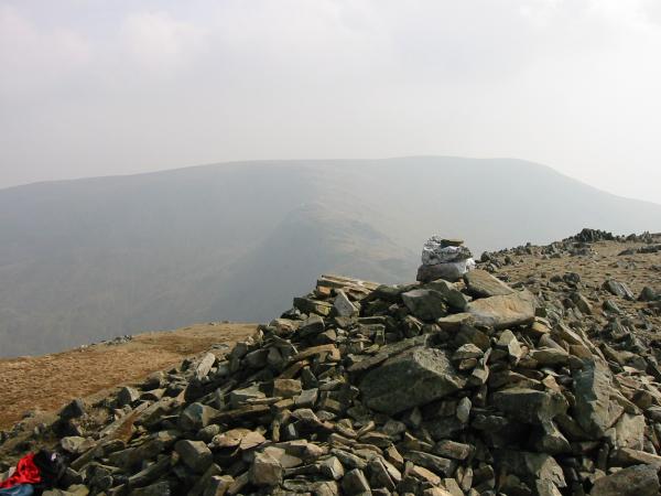
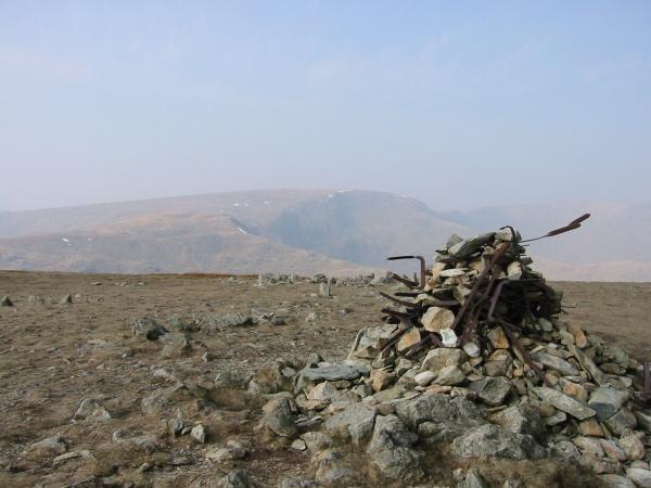
Looking northeast from Harter Fell summit cairn
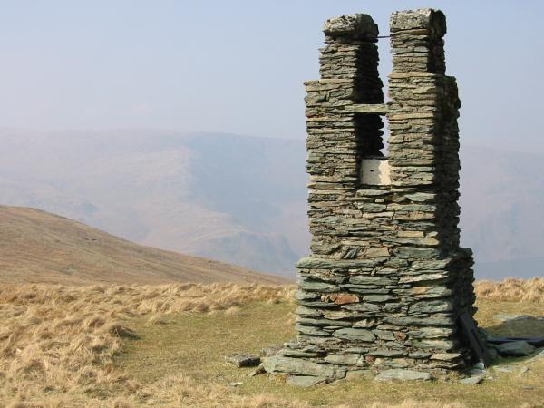
Harter Fell's northeastern (lower) summit cairn
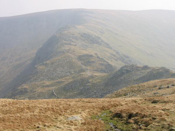
High Street, Blea Water and Rough Crag from Harter Fell
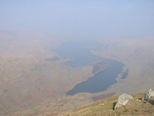
Haweswater from Harter Fell
Branstree from Adam Seat
Harter Fell from Gatescarth Pass
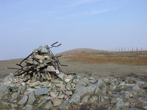
Leaving Branstree summit
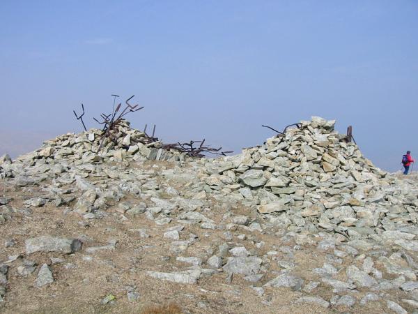
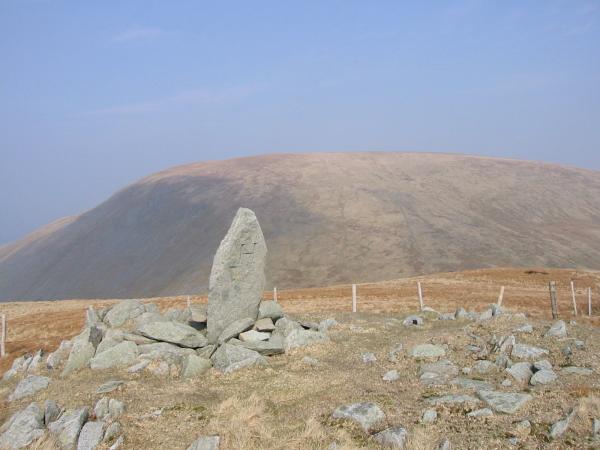
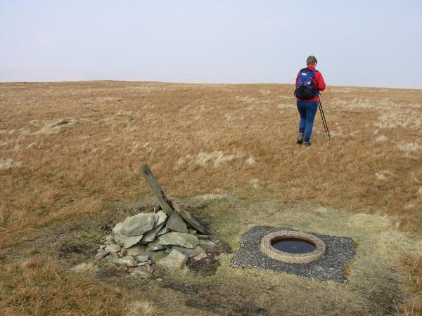
The survey post, Branstree
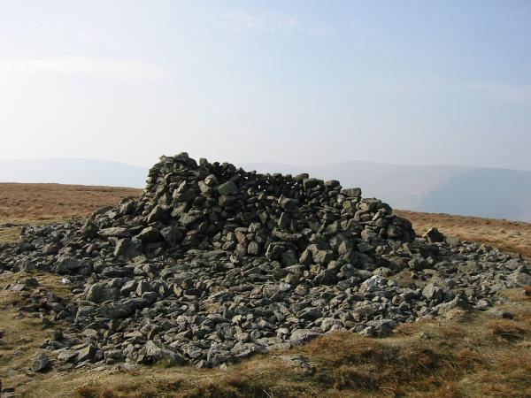
Selside Pike summit cairn
Looking back to Selside Pike from Hare Shaw summit
Kidsty Pike and High Raise from the Old Corpse Road
Haweswater, The Rigg and Rough Crag from the Old Corpse Road
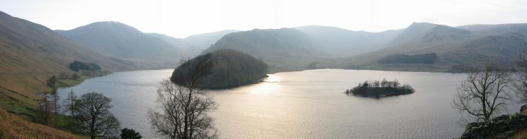
Mardale Head panorama
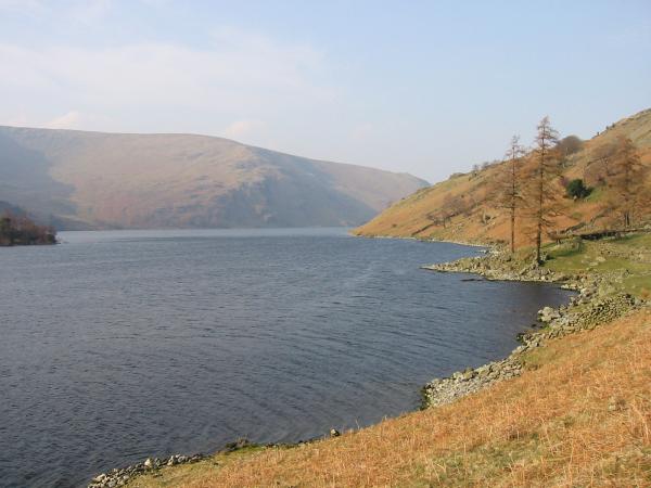
Haweswater
Previous Walk: Bowfell and Esk Pike (Fri 29 Mar 2002)