Grange Fell
Sun 10 Jul 2011
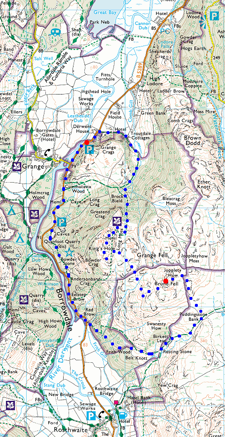
Route: Grange in Borrowdale - Troutdale - Grange Fell (King's How) - Grange Fell (Brund Fell) - Puddingstone Bank - Resting Stone - Bowder Stone - road - Grange in Borrowdale
Distance: 4.75 miles
Ascent: 1,400ft
Time: 3 hours
With: Anne
Notes:
Warm, sunny but cloud building
© Crown copyright. All rights reserved. Licence number AL100038401
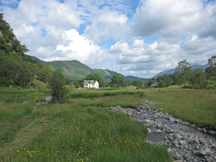
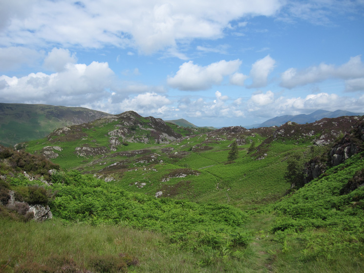
Troutdale with Catbells in the distance on the left
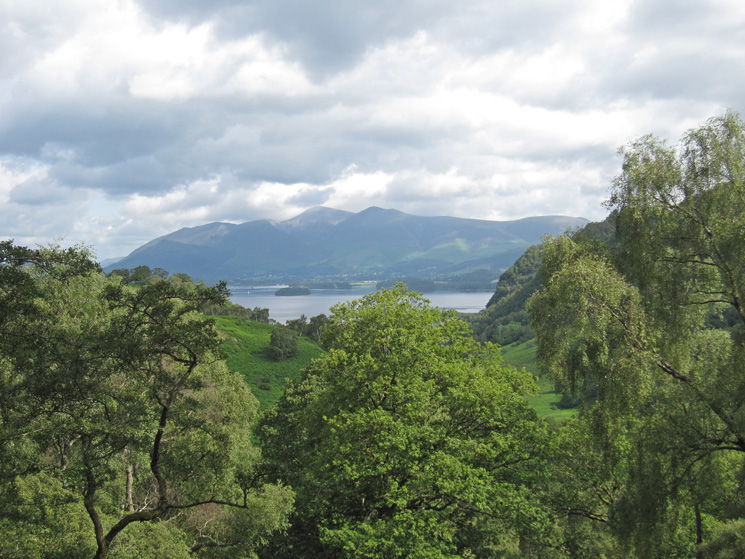
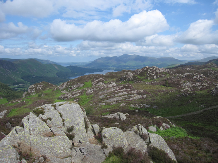
Derwent Water and the Skiddaw fells from our ascent of Grange Fell
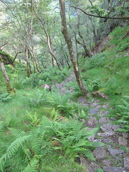
Looking back down the steep pitched path
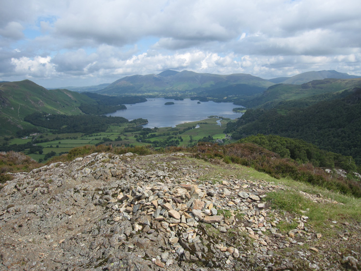
Derwent Water and the Skiddaw fells from King's How summit
Looking across to Brund Fell, the highest part of Grange Fell, with the Helvellyn ridge in the distance
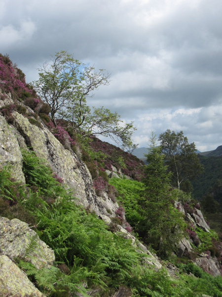
Rock, bracken and heather
Looking back towards King's How
North from Brund Fell summit
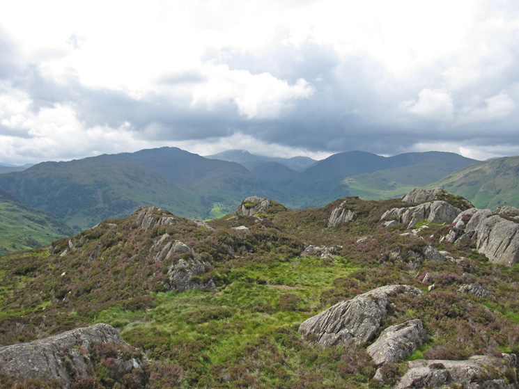
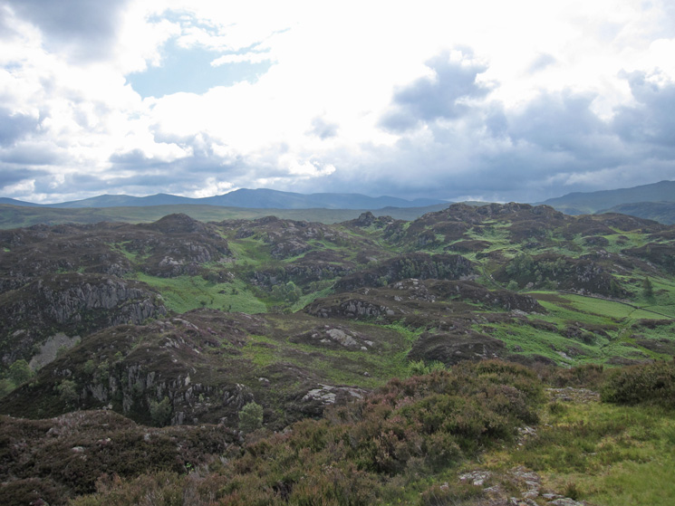
South towards Glaramara, Great End and Great Gable
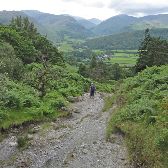
Heading back down into Borrowdale
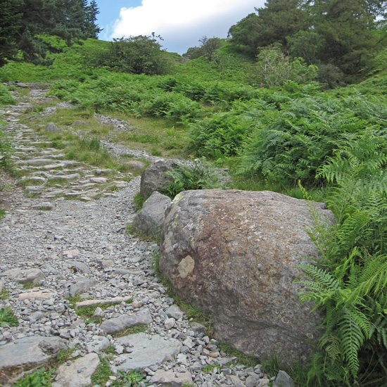
The Resting Stone
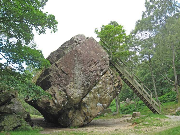
Bowder Stone
Previous Walk: Over Catbells and around Derwent Water (Mon 23 May 2011)
Next Walk: Knott from Mosedale (Tue 26 Jul 2011)