A Miterdale Round
Sat 17 Oct 2009
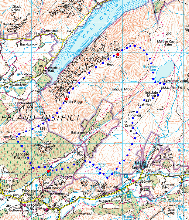
Route: Porterthwaite, Miterdale - Miterdale Forest - Whin Rigg - Illgill Head - Burnmoor Tarn - Boat How (Eskdale Moor) - Blea Tarn - Blind Tarn - Siney Tarn - Porterthwaite
Distance: 9.50 miles
Ascent: 2,400ft
Time: 5 hours 15 minutes
With: David Hall
Notes:
Blue sky and sunshine
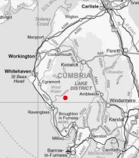
© Crown copyright. All rights reserved. Licence number AL100038401
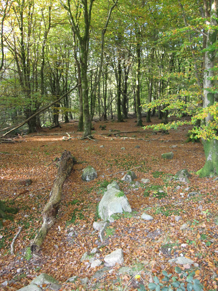
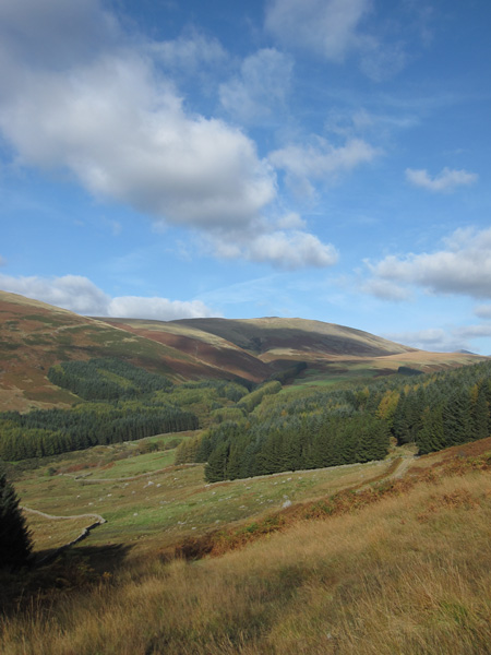
In Miterdale Forest
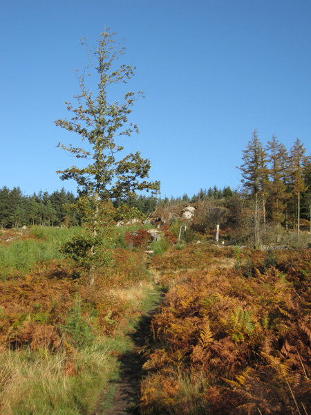
Blue sky and sunshine as we head for the ridge
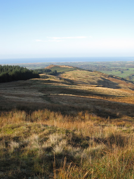
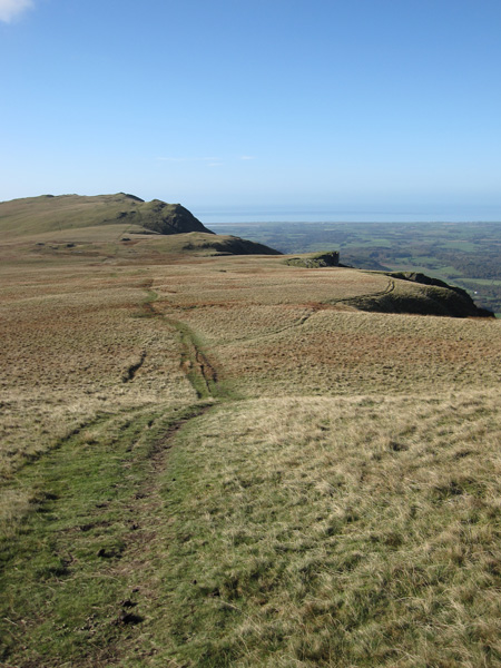
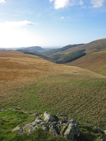
Irton Pike and the sea
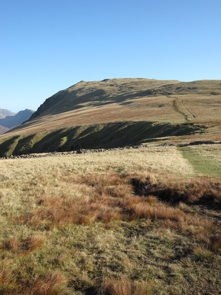
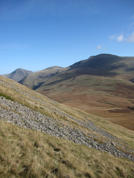
Whin Rigg from near the top of Greathall Gill
The top of The Screes from Whin Rigg
Illgill Head
Looking back to Whin Rigg as we head up Illgill Head
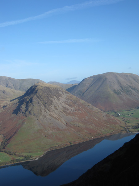
Yewbarrow
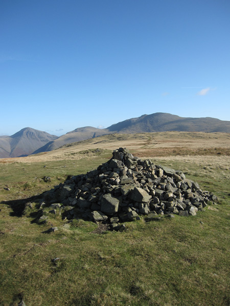
Illgill Head's main summit cairn at 604m, the ground ahead is slightly higher with a 609m spot height
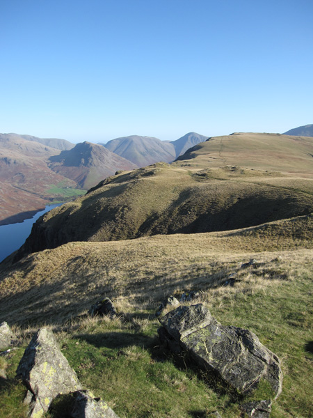
Wasdale Head from Illgill Head
Scafell as we descend to Burnmoor Tarn
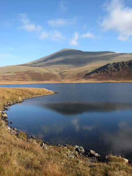
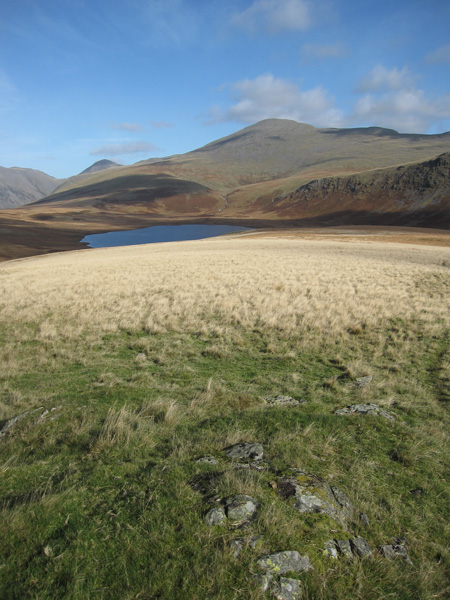
Scafell from Burnmoor Tarn
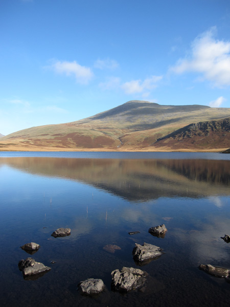
Scafell from Burnmoor Tarn
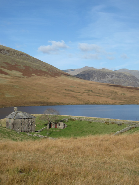
Burnmoor Lodge
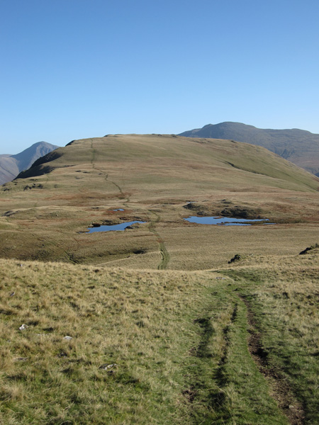
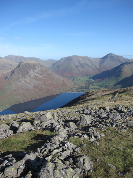
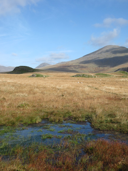
Burnmoor Tarn and Scafell from Boat How's summit
Miterdale with Muncaster Fell in the distance from the summit of Boat How
Looking back to Boat How's summit (on the left in shadow)
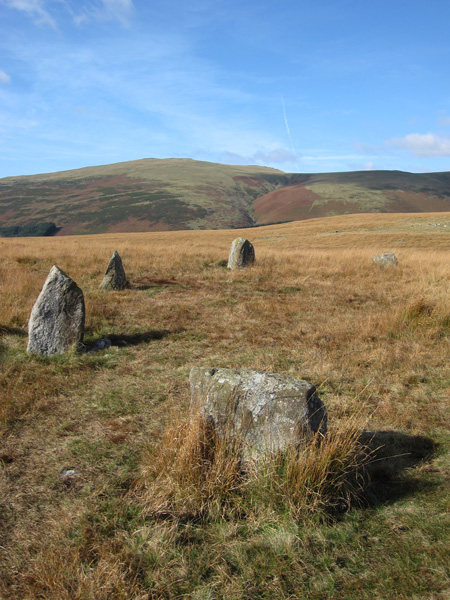
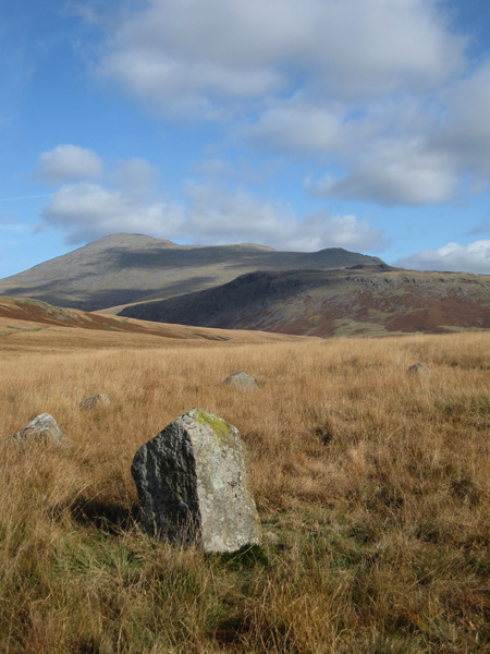
Whin Rigg from one of the several stone circles on Boat How
Scafell from one of the stone circles on Boat How
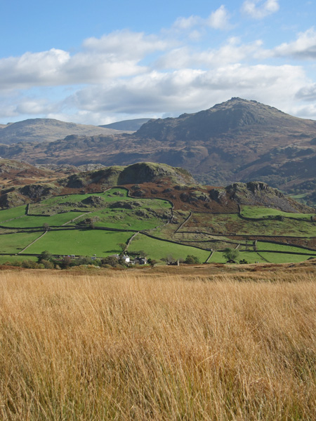
Looking across Eskdale to Harter Fell
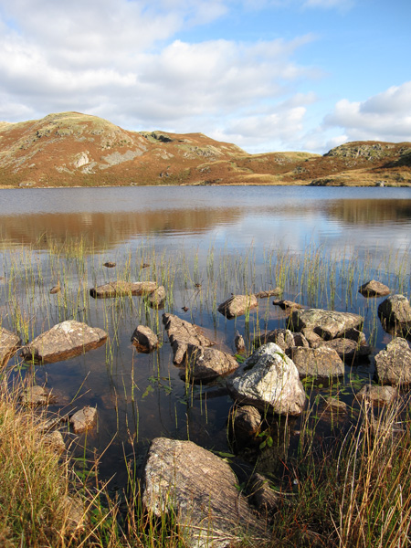
Blea Tarn
Miterdale and Illgill Head
Previous Walk: Pen and Great Moss (Fri 16 Oct 2009)
Next Walk: The Dodds (Sat 28 Nov 2009)