Loughrigg Fell from Ambleside
Sun 12 May 2013
Route: Ambleside - Miller Bridge - Todd Crag - Lily Tarn - Loughrigg Fell - Loughrigg Terrace - Loughrigg Cave - Rydal Water - Rydal - Rydal Hall - Rydal Park - Ambleside
Distance: 6.75 miles
Ascent: 1,300ft
Time: 5 hours 20 minutes
With: Anne and Jill & Nigel Batchelor
Notes:
The odd spot of rain early on developing into proper rain.
We had an excellent 45 minute drink and cake stop at Rydal Hall tearooms.
© Crown copyright. All rights reserved. Licence number AL100038401
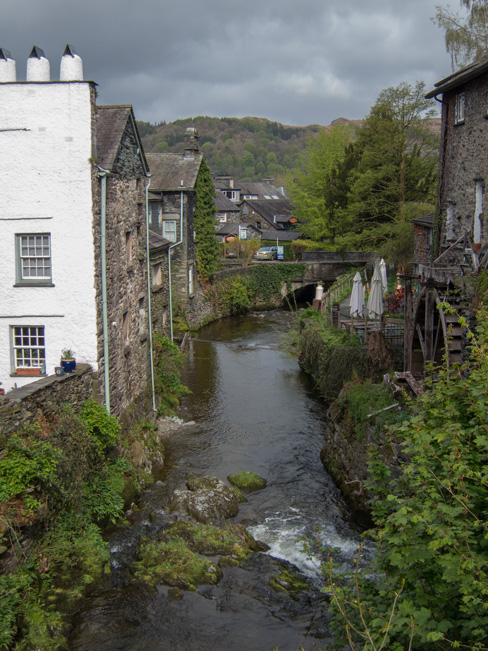
Stock Ghyll, Ambleside
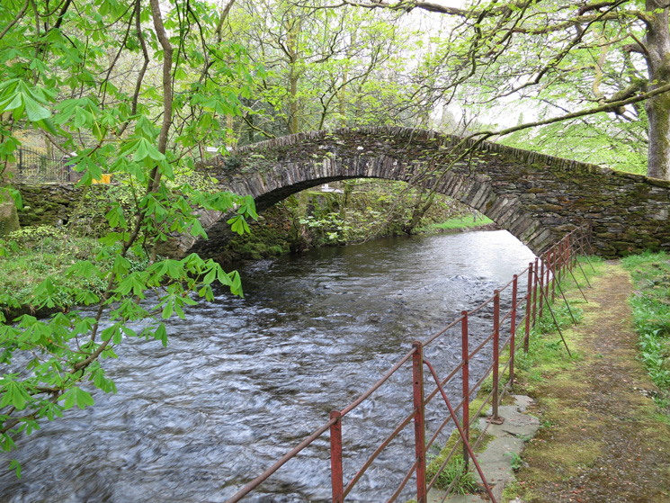
Miller Bridge, across the River Rothay
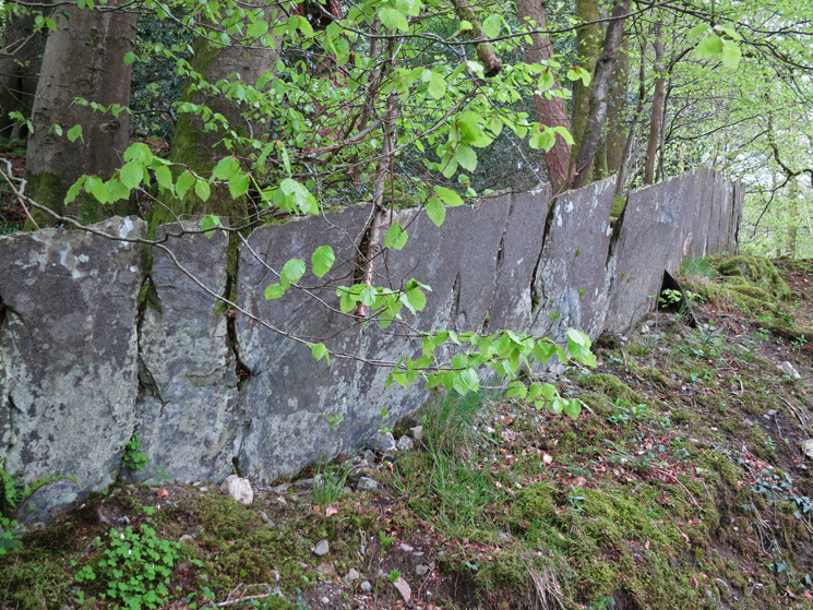
Slate Wall
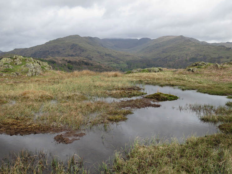
The Fairfield Horseshoe
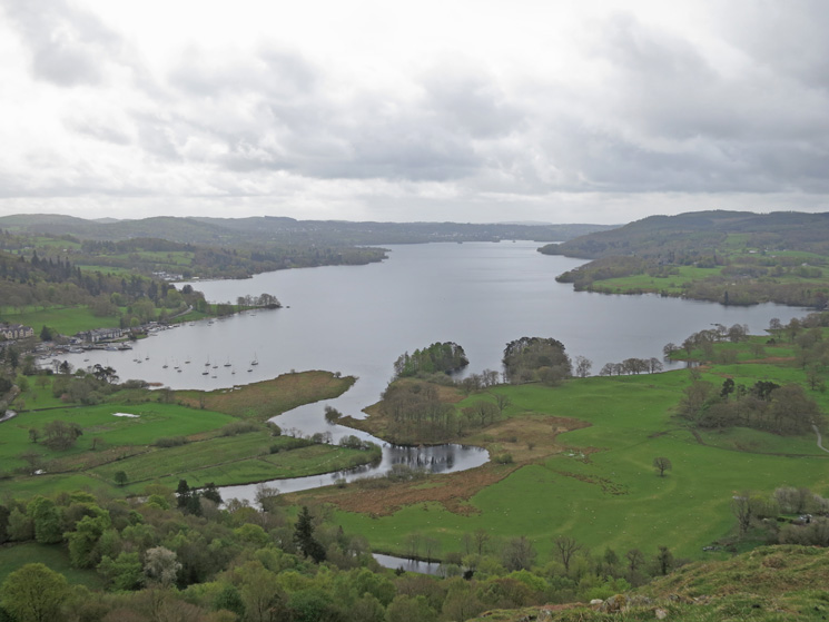
Looking down Windermere
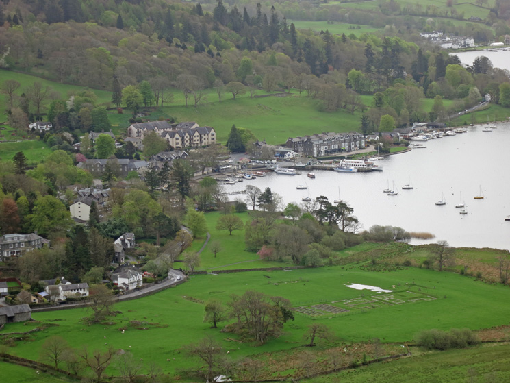
Zooming in on Waterhead
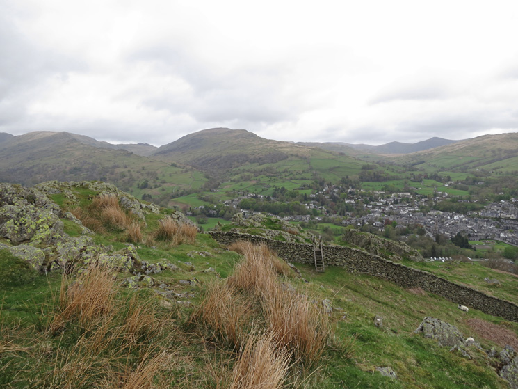
Red Screes and a bit of Ambleside
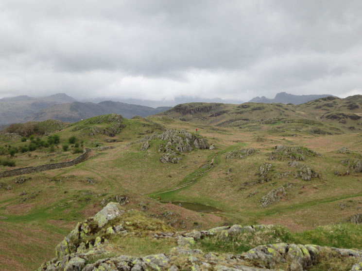
The east end of Loughrigg Fell
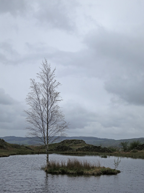
The island on Lily Tarn

The Langdale Pikes
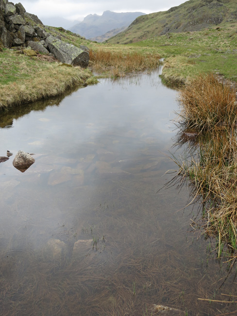
The Langdale Pikes
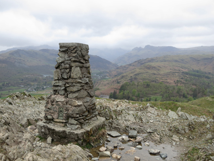
Loughrigg Fell trig point
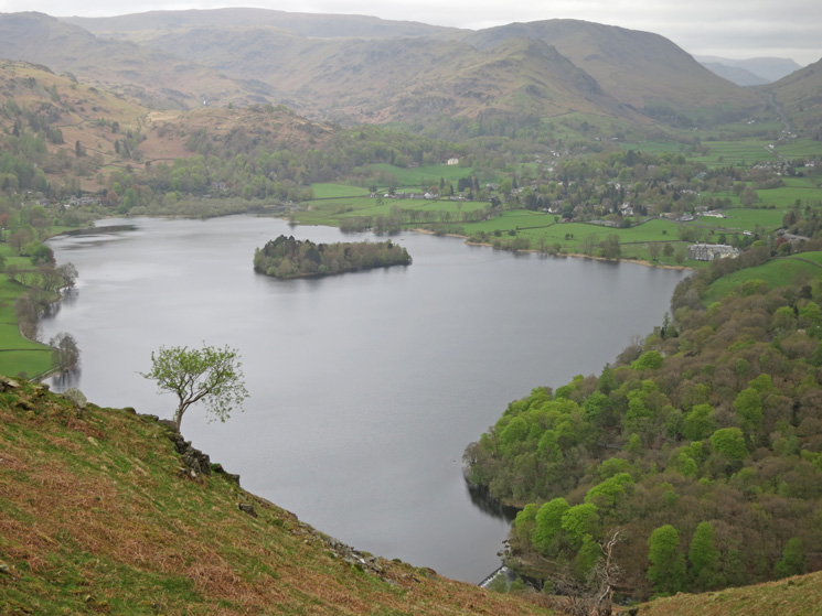
Grasmere
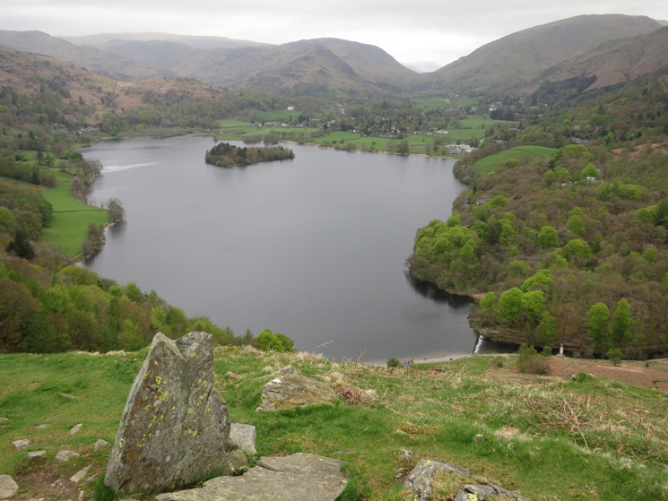
Grasmere
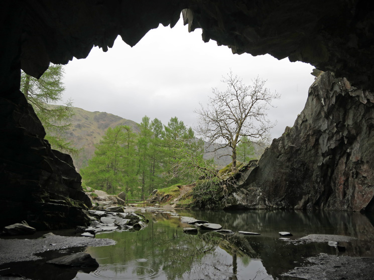
Looking out of Loughrigg Cave
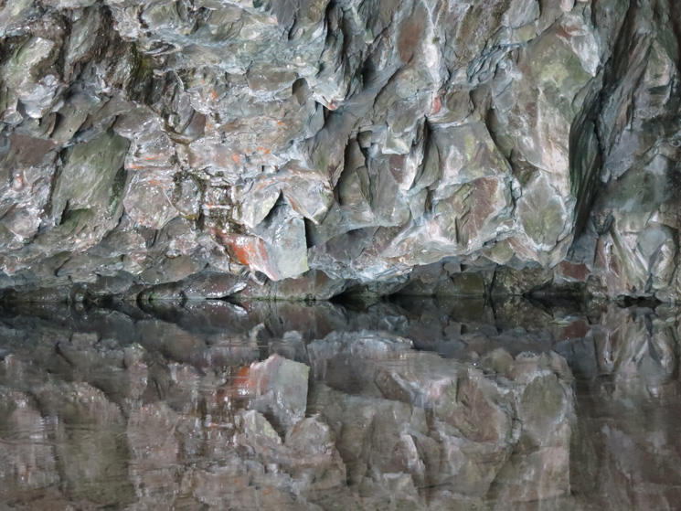
Reflection
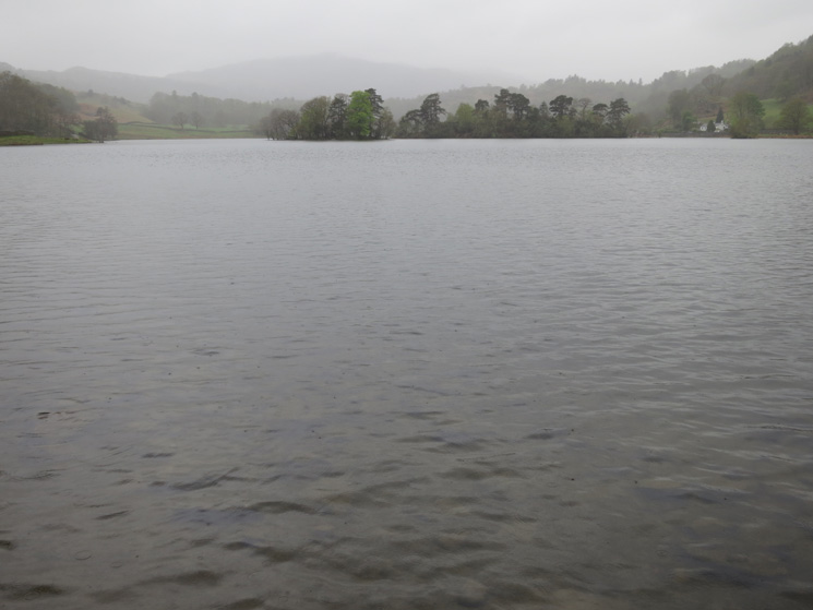
Rydal Water, the forecasted weather has arrived
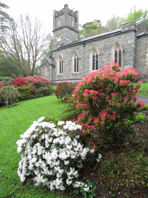
St Mary’s Church, Rydal
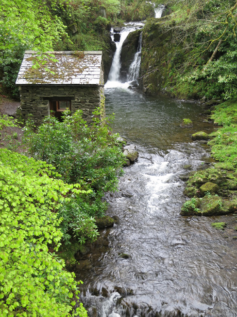
The Grot and Waterfall, Rydal Hall
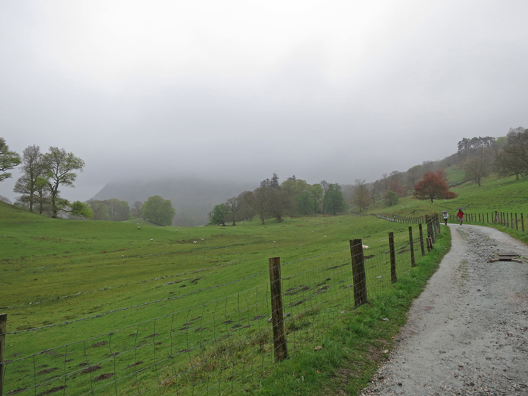
Rydal Park. With extensive views of Nab Scar and the Heron Pike arm of the Fairfield Horseshoe
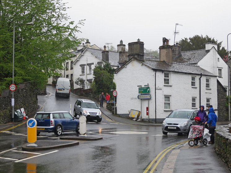
Back in Ambleside
Previous Walk: Grisedale Pike and Coledale (Sat 13 Apr 2013)
Next Walk: High Pike (Sat 25 May 2013)