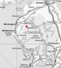
Fellbarrow and Low Fell
Mon 29 Dec 2008
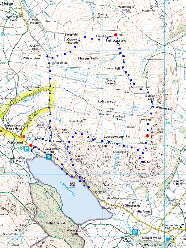
Route: Loweswater car park - old road to Mosser - Fellbarrow - Smithy Fell - Low Fell - Low Fell (south top) - Darling Fell - old road to Mosser - Loweswater - Loweswater car park
Distance: 5.75 miles
Ascent: 1,600ft
Time: 3 hours 30 minutes
With: David Hall
Notes:
Sunshine and blue sky, frozen ground
© Crown copyright. All rights reserved. Licence number AL100038401
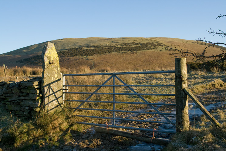
Fellbarrow from the Mosser Road
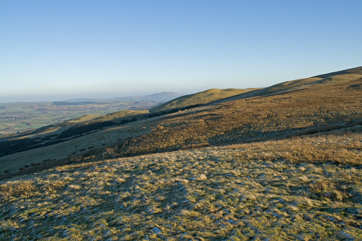
Looking north with Binsey in the distance from our ascent of Fellbarrow's west side
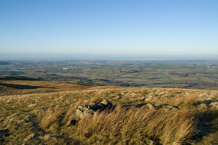
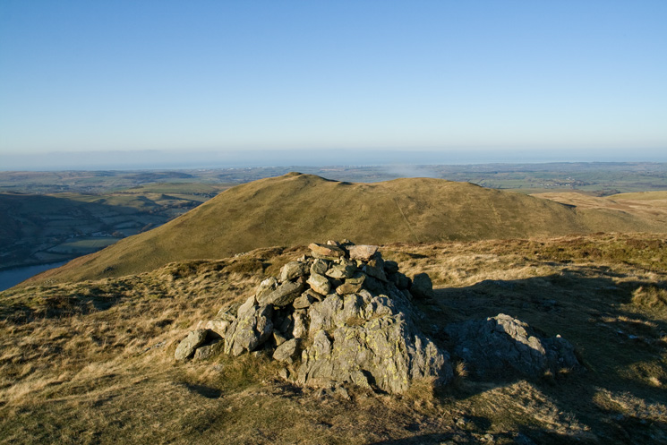
The west coast from near Fellbarrow's summit
Fellbarrow's summit looking north to the grassy Hatteringill Head
Looking across the Vale of Lorton to the Whinlatter fells with Skiddaw beyond from Smithy Fell
Looking back to Fellbarrow having just contoured round Sourfoot Fell (in shadow left)
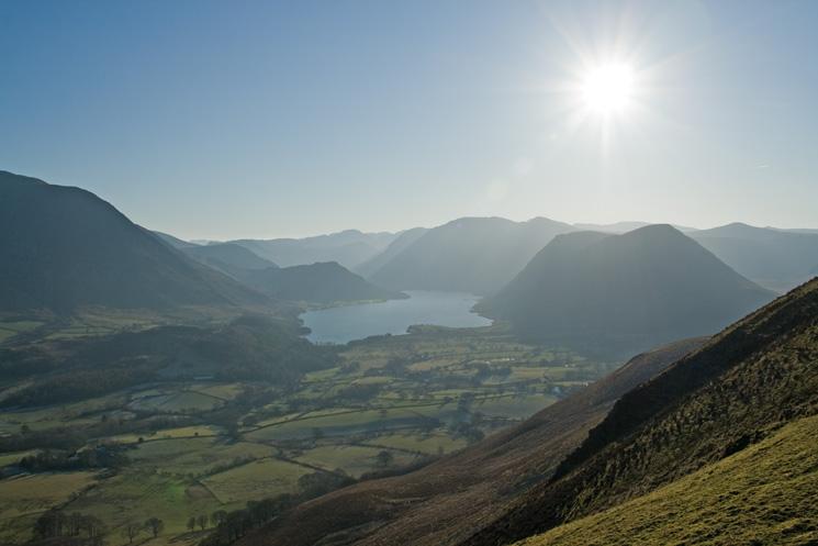
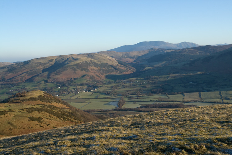
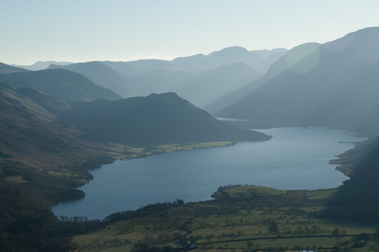
Crummock Water and the high fells
Watching Crag from our ascent of Low Fell
Rannerdale Knotts and Crummock Water
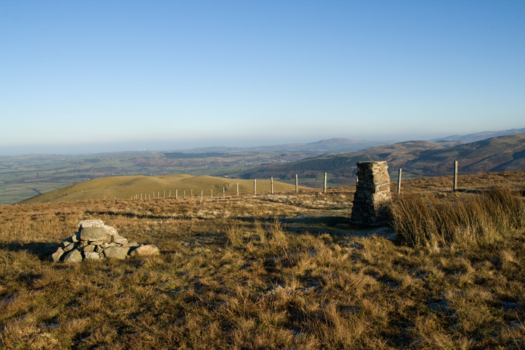
Darling Fell from Low Fell's southern top
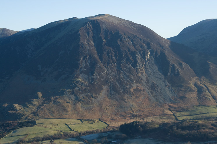
Whiteside
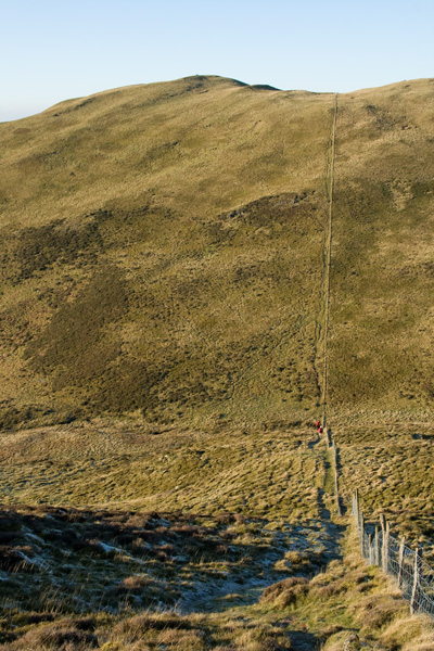
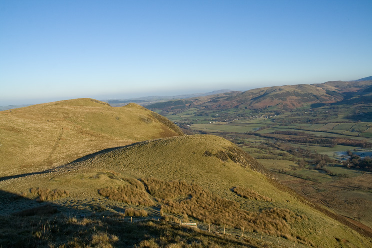
Just follow the fence for Darling Fell. The two red dots are people, giving a scale to the photo
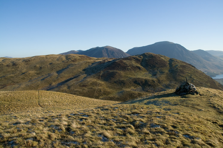
Low Fell (main top left, southern, lower, Wainwright top right) from Darling Fell
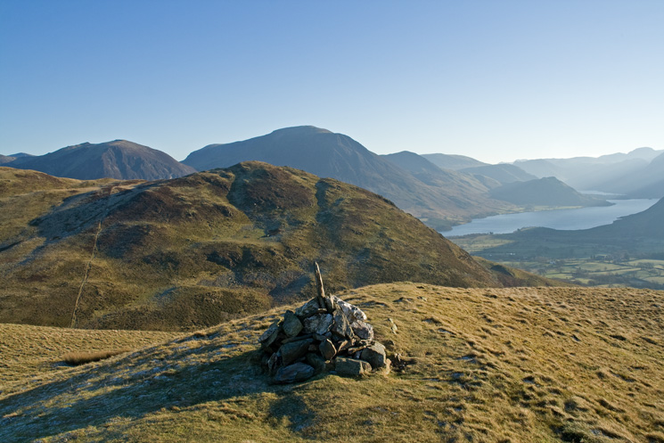
Low Fell's southern top with Grasmoor behind and Crummock water right from Darling Fell
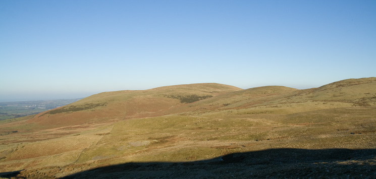
Fellbarrow is the high point with Smithy Fell and Sourfoot Fell to its right
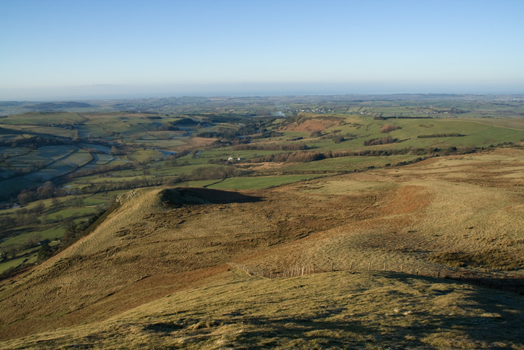
The west coast from our descent off Darling Fell
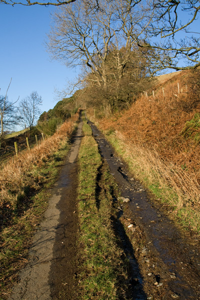
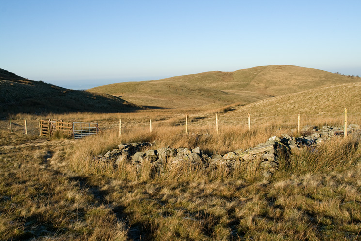
Looking back up the Mosser Road
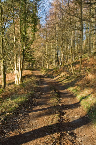
The Loweswater end of the Mosser Road
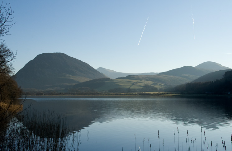
Loweswater
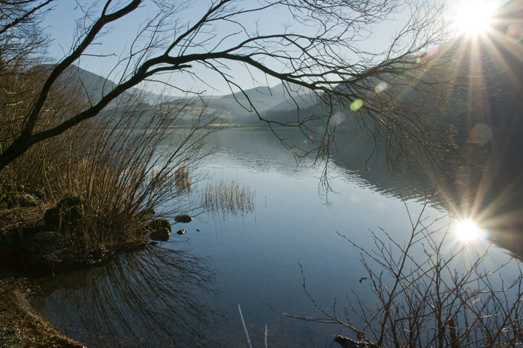
Looking across Loweswater to Mellbreak and Hen Comb with Red Pike (Buttermere) in the distance
Previous Walk: Dow Crag (Sun 28 Dec 2008)
Next Walk: High Raise from Grasmere (Tue 30 Dec 2008)