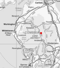
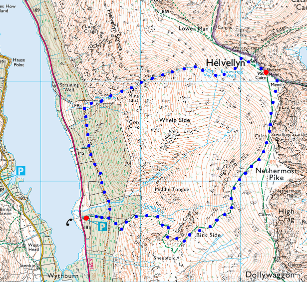
Helvellyn via Mines Gill
© Crown copyright. All rights reserved. Licence number AL100038401
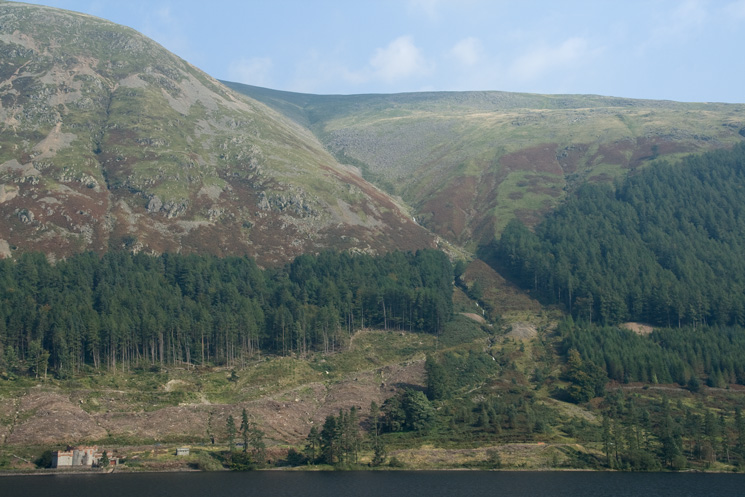
Looking across Thirlmere to Mines Gill, my route of ascent
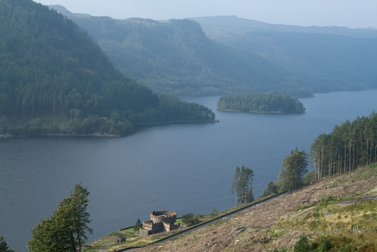
Thirlmere from the permissive path
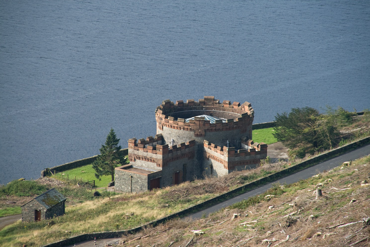
This castle-like building on Thirlmere's east shore is the straining well
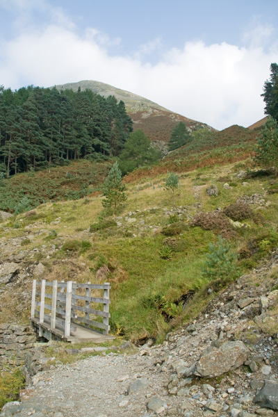
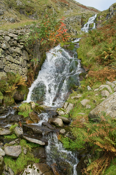
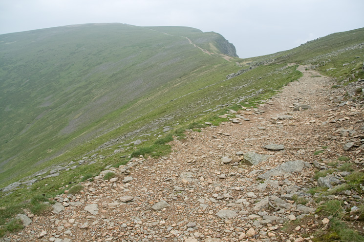
The way ahead
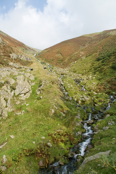
The incline, Mines Gill
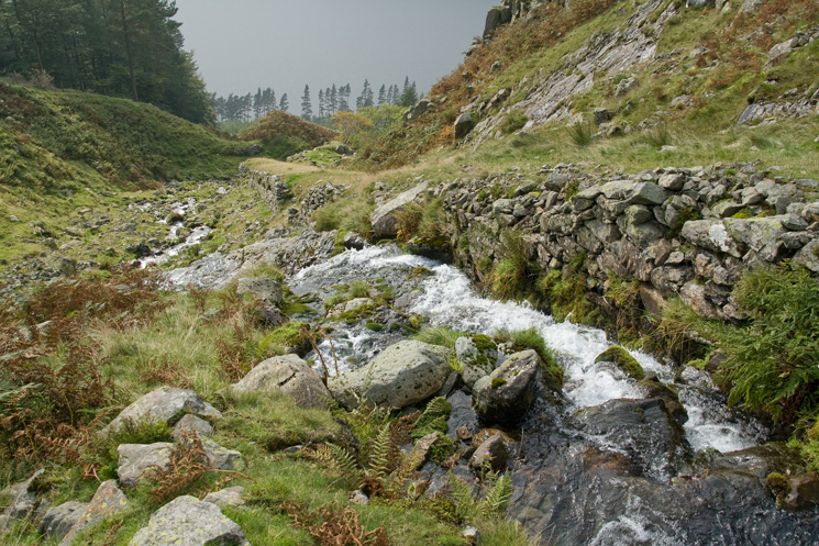
Looking back down the bottom section of the incline
The incline, Mines Gill
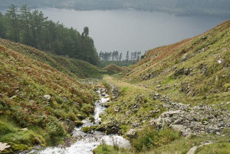
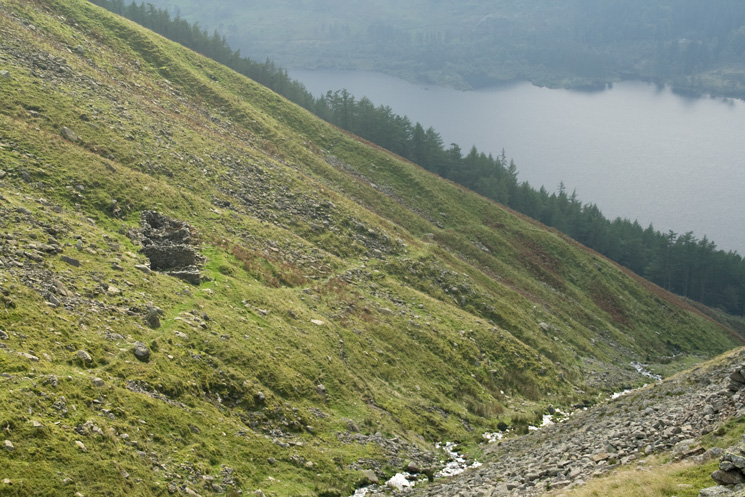
Thirlmere is now far below
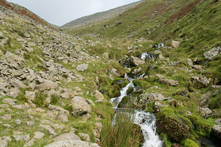
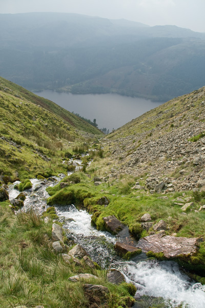
Looking up Mines Gill
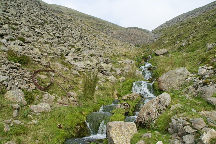
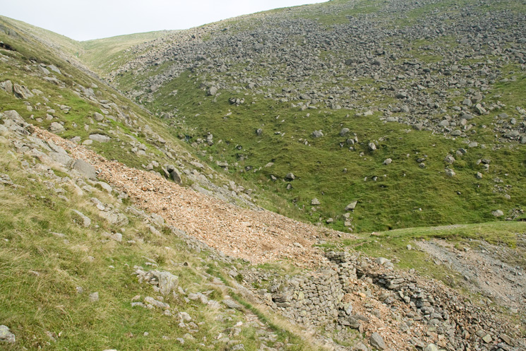
Looking up to the slag from the old workings
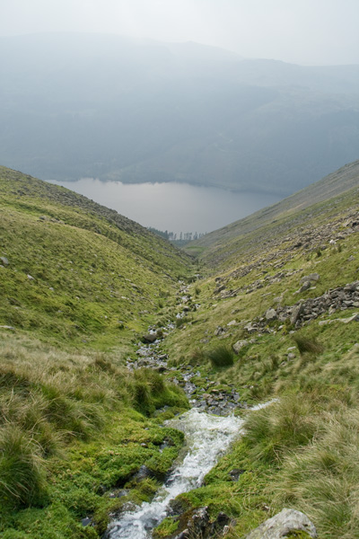
Another shot looking down Mines Gill
The buildings are marked on the the OS map as 'Mine (dis)'
Workings, Mines Gill
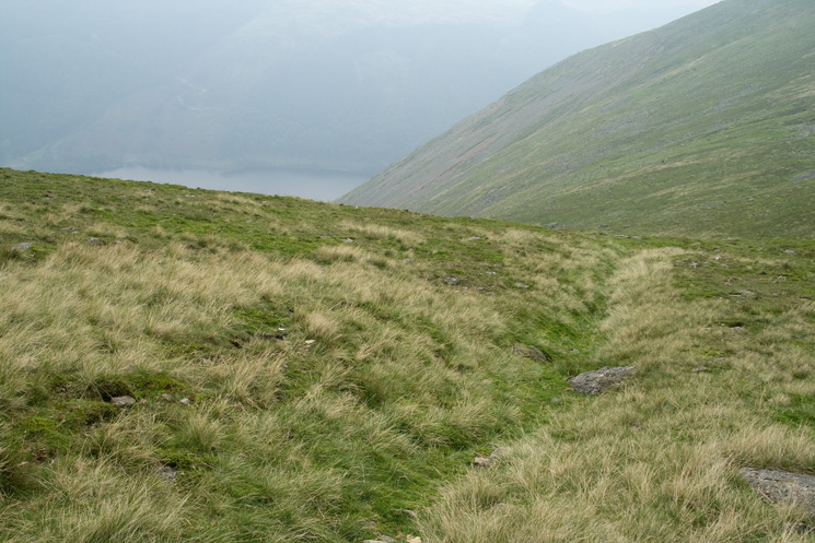
Mines Gill, pathless but not steep
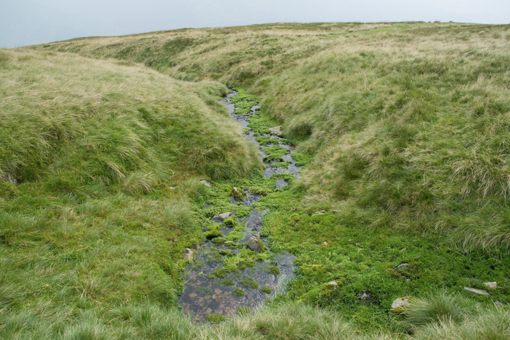
This is the Leat that was used to divert water from Brownrigg Well into Mines Gill
Brownrigg Well (Whelpside Gill Spring)
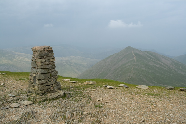
Helvellyn's summit trig point
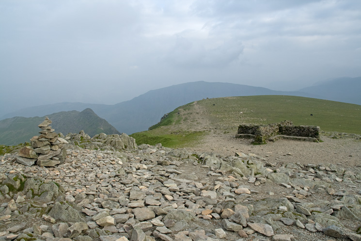
Helvellyn's summit cairn takes on another new design
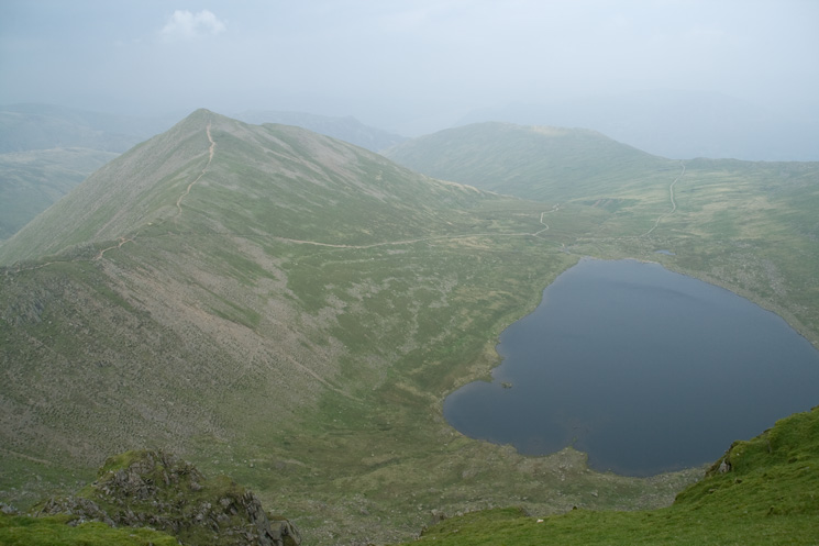
Catstycam and Red Tarn
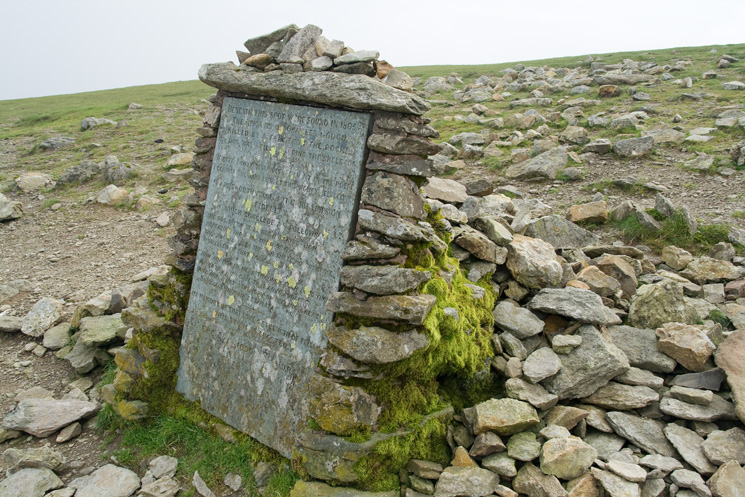
The Gough Memorial above Striding Edge
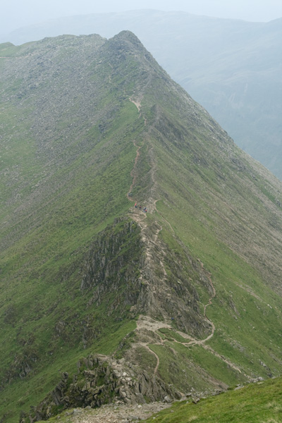
Striding Edge
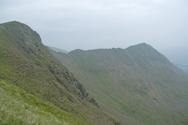
Striding Edge from Swallow Scarth
Great Gable to the west
Looking back to Helvellyn's summit and Swallow Scarth
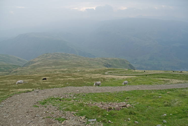
Birk Side
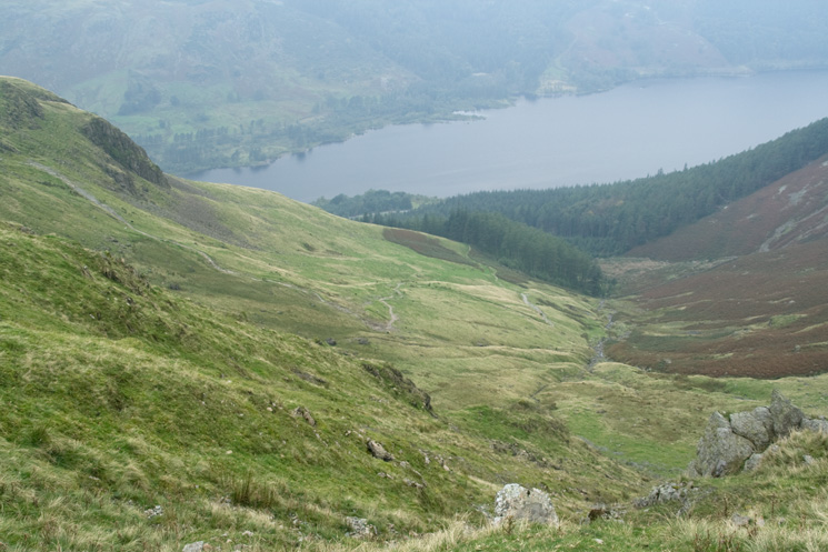
Looking down on Comb Gill and Thirlmere
Previous Walk: Red Screes to Low Pike (Wed 3 Sep 2008)
Next Walk: High Spy from Grange (Thu 18 Sep 2008)