A Cawdale Round
Fri 1 Aug 2008
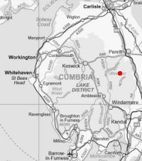
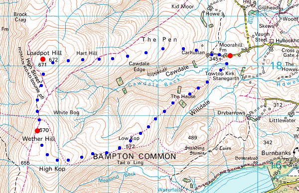
Route: Moorahill Farm - The Pen - Loadpot Hill - Wether Hill - Low Kop - The Hause - Moorahill Farm
Distance: 6.75 miles
Ascent: 1,350ft
Time: 2 hours 35 minutes
With: On own
Notes:
Overcast with some sunny intervals and a couple of showers, wet underfoot after all the recent rain.
© Crown copyright. All rights reserved. Licence number AL100038401
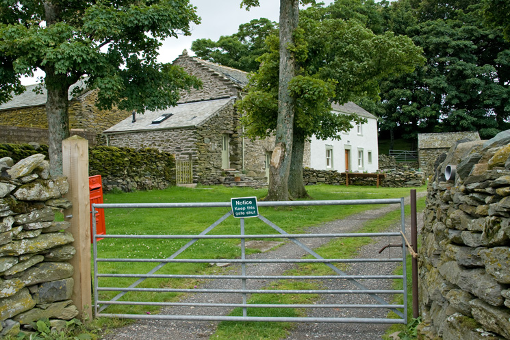
Moorahill Farm
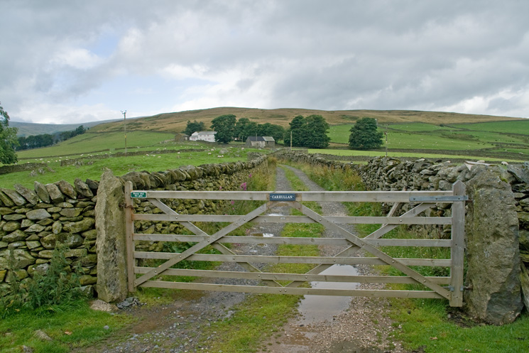
The farm track to Carhullan
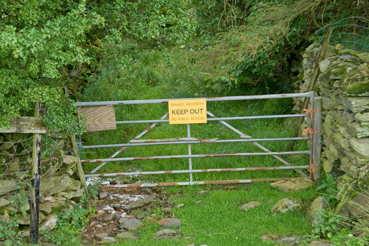
The gate by Carhullan out onto the fell side, I guess they don't want you going that way!
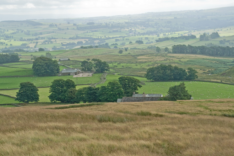
Looking back from above Carhullan
Loadpot Hill from The Pen
Looking back down my route up The Pen
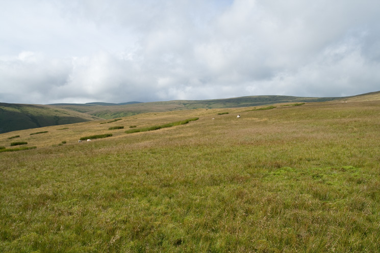
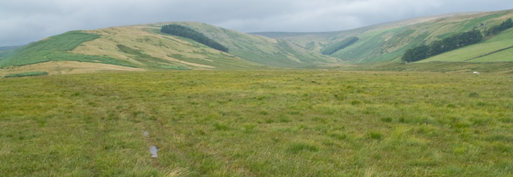
Wether Hill right of centre, the two tops in shadow on the left are Low Raise and High Raise
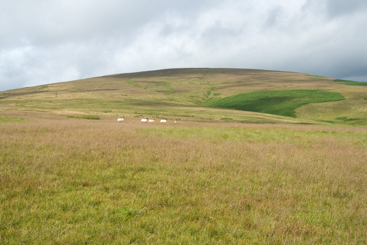
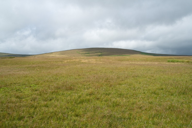
Loadpot Hill
Looking back down on The Pen from the bield marked on the OS map
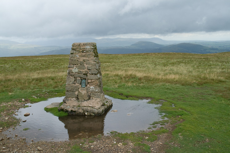
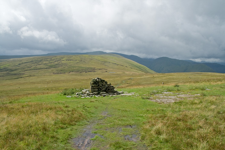
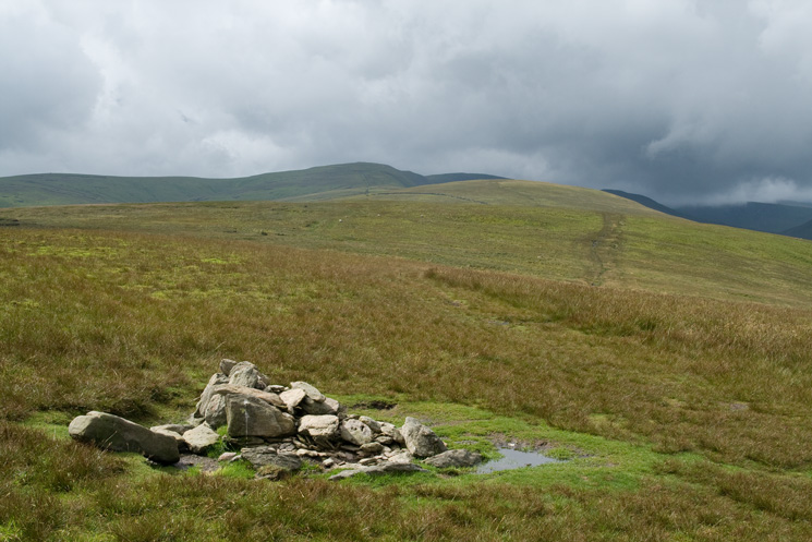
Loadpot Hill summit trig point
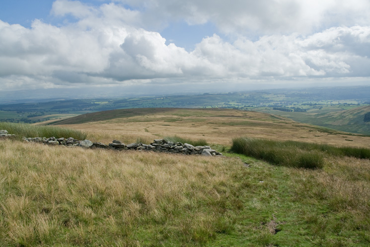
Wether Hill from the remains of Lowther House, a former shooting lodge
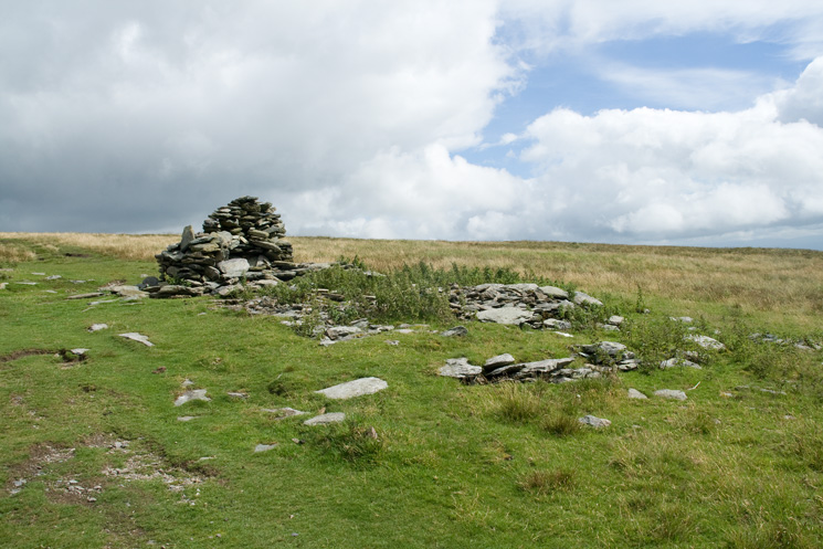
All that remains of Lowther House, a former shooting lodge
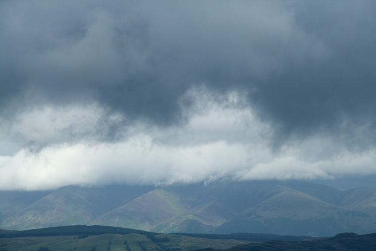
Blencathra's truncated spurs
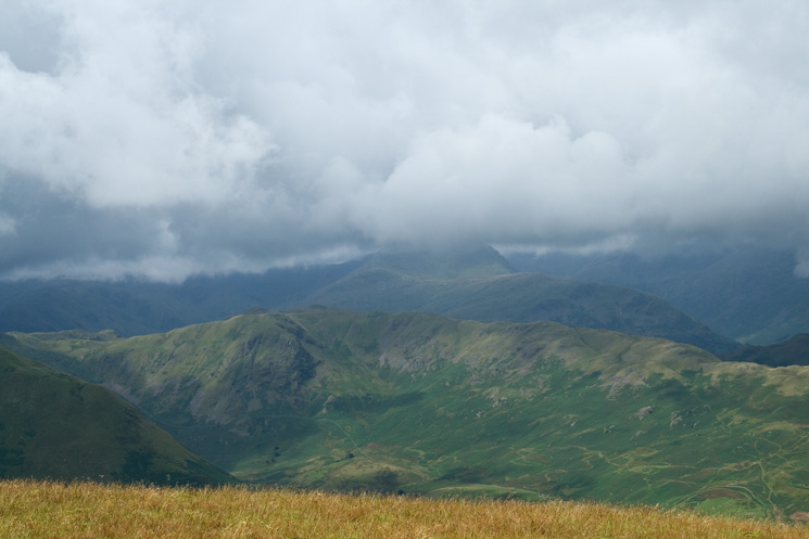
Angletarn Pikes from Wether Hill
The High Street Roman Road south to Red Crag and then High Raise from Wether Hill's summit cairn
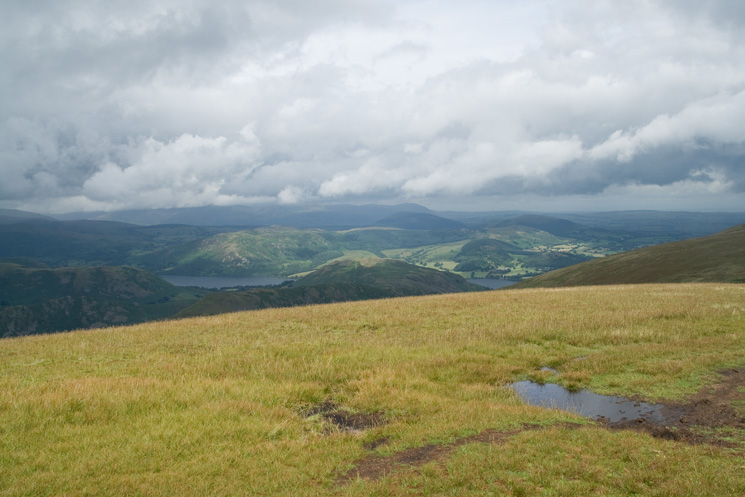
Gowbarrow gets some sunshine on the far side of Ullswater
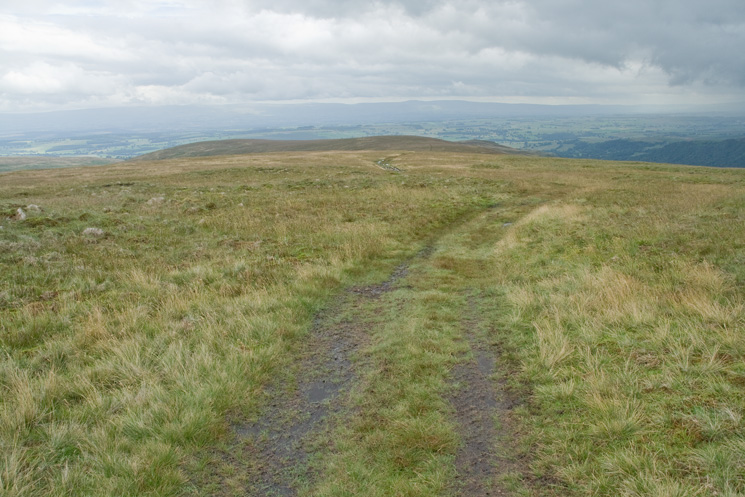
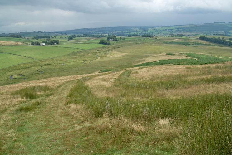
The path down to Low Kop
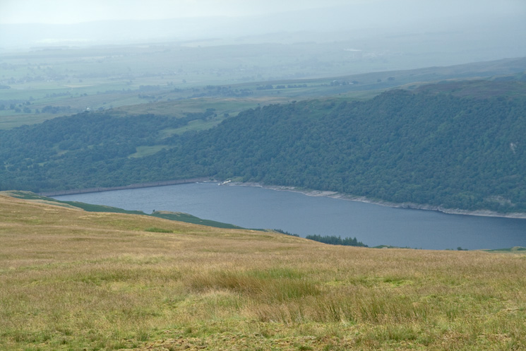
Zooming in on Haweswater's dam
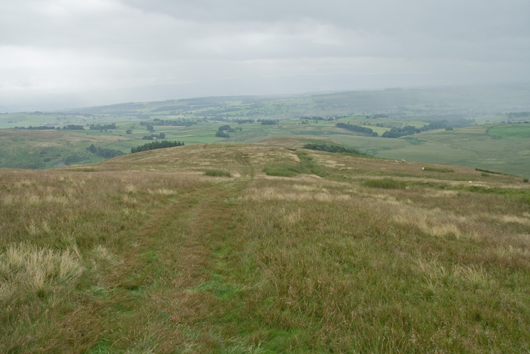
The path heads down to The Hause
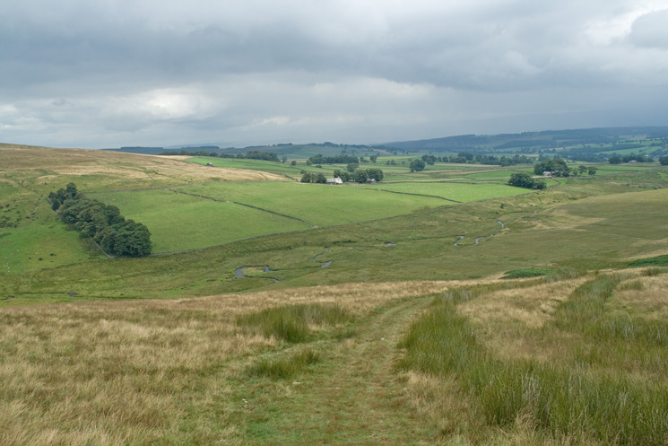
Cawdale Beck on the left from above Hause End
Carhullan in the centre of the photo
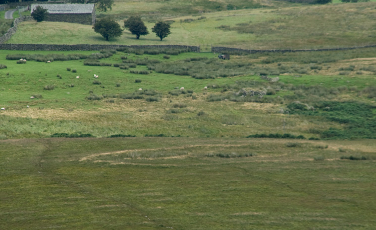
Zooming in on Towtop Kirk, a druid's circle or an ancient settlement / enclosure
Hause End on the left and Cawdale on the right
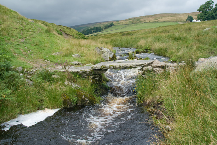
Slate bridge across Cawdale Beck
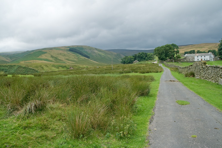
The Hause on the left and The Pen behind Moorahill Farm on the right
Previous Walk: Great Burney (Sun 27 Jul 2008)
Next Walk: Seathwaite Tarn, Dow Crag and Walna Scar (Sat 2 Aug 2008)