Snowy Blencathra
Sun 23 Mar 2008
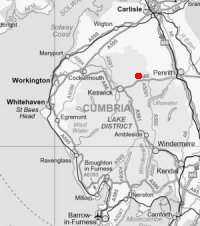
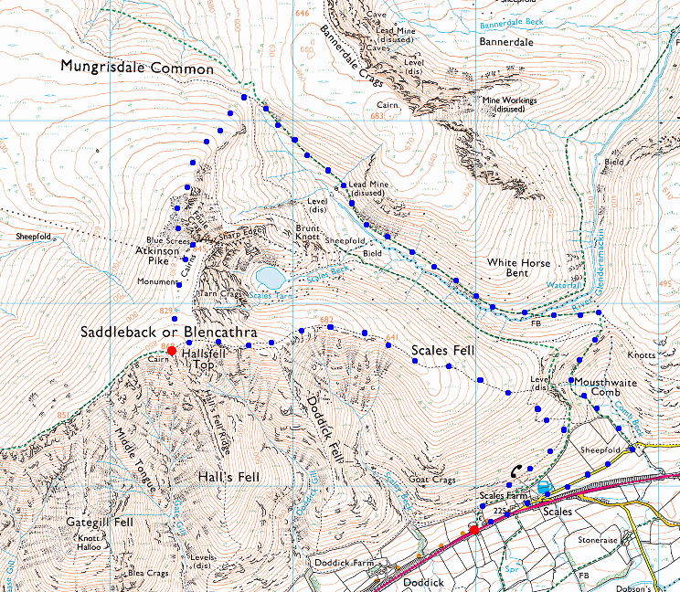
Route: Scales - Scales Fell - Blencathra - Atkinson Pike - Blue Screes - the valley of the River Glenderamackin - Mousthwaite Comb - Scales
Distance: 6.25 miles
Ascent: 2,250ft
Time: 4 hours 15 minutes
With: Anne
Notes:
Fresh snow on the ground, a biting cold wind, broken clouds with some blue sky and sunshine
© Crown copyright. All rights reserved. Licence number AL100038401
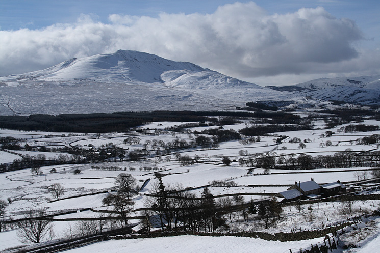
Clough Head from above Scales
Great Mell Fell from above Scales
The view to the south west as we head up to Scales Fell
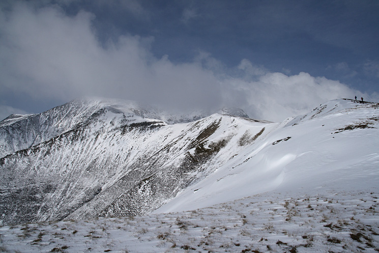
Scales Fell with Blencathra's summit currently in cloud
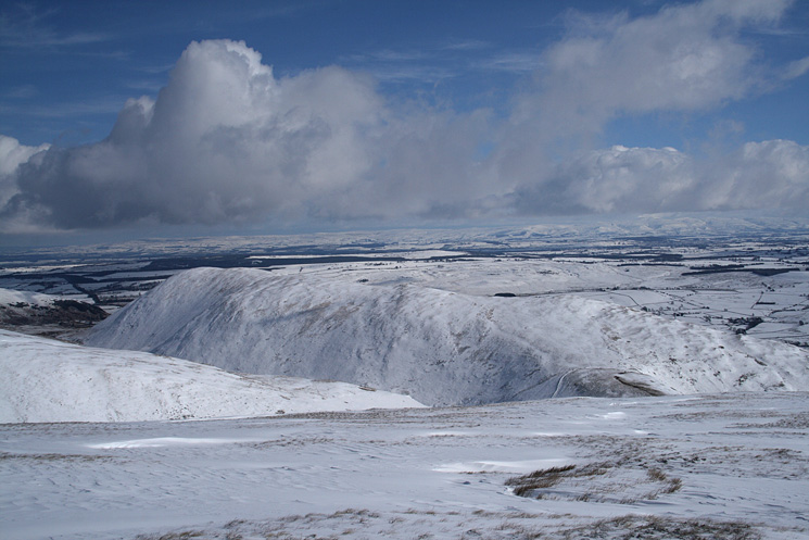
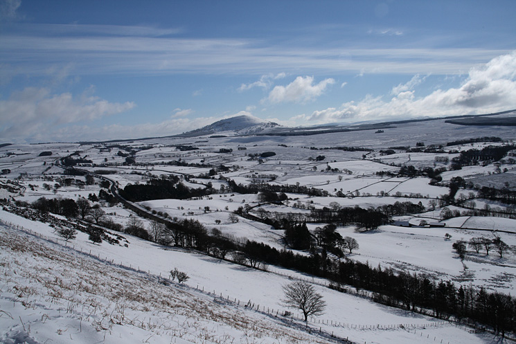
Looking over Souther Fell to the North Pennines
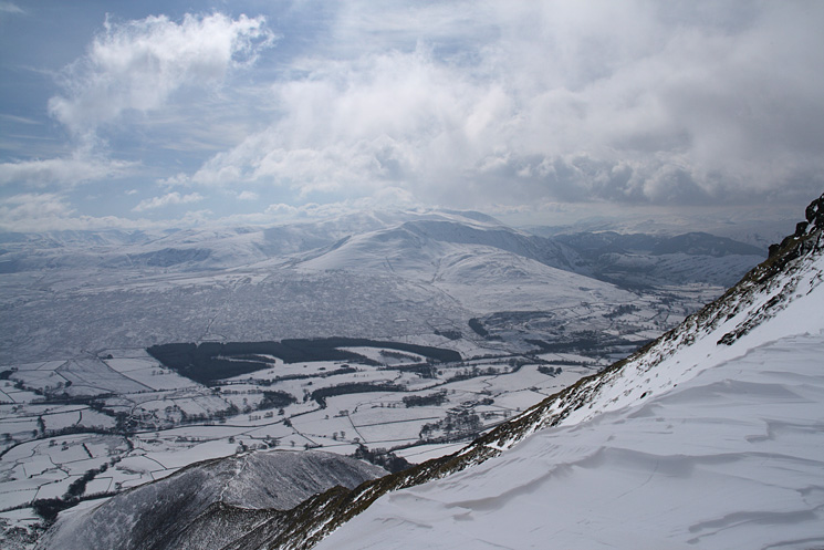
Clough Head and the Dodds with Doddick Fell below
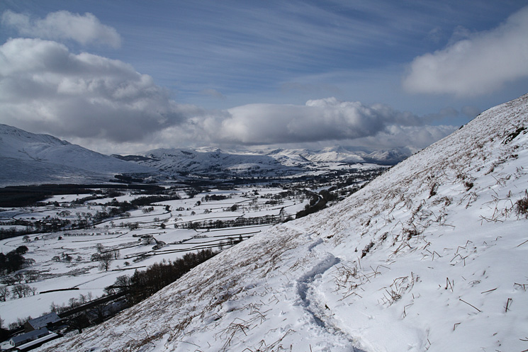
Heading up Scales Fell
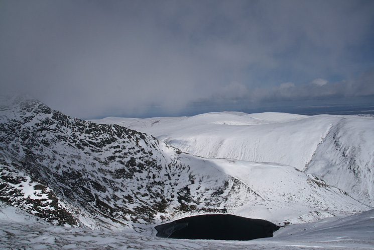
Scales Tarn below Sharp Edge
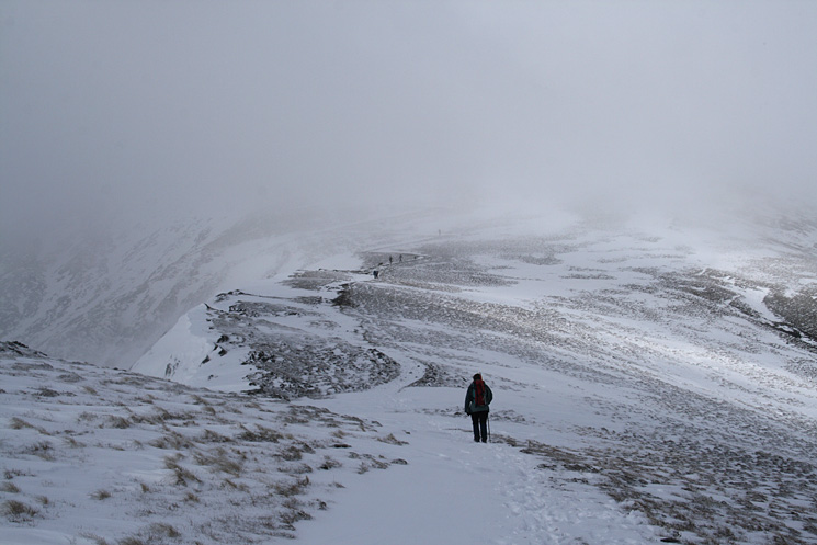
Looking back down Scales Fell
Looking back down Scales Fell
Gategill Fell from Blencathra's summit
Clough Head and the Dodds leading to Helvellyn from Blencathra's summit
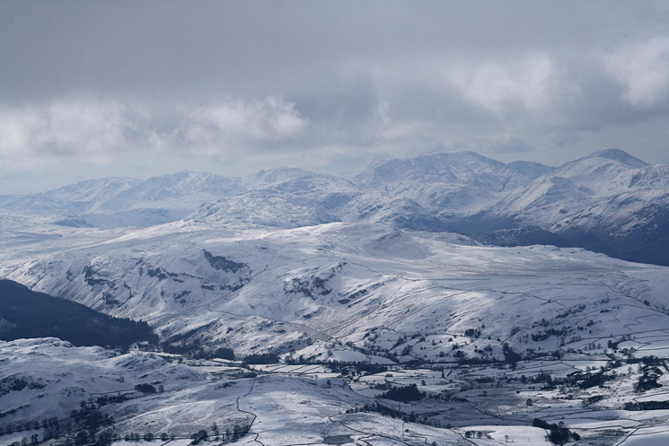
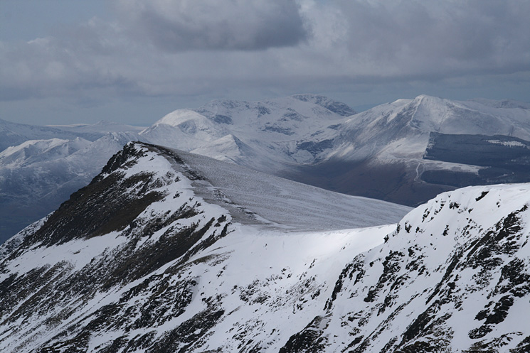
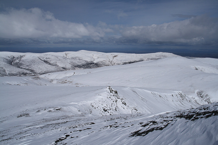
The high central fells from Blencathra's summit, how many can you name?
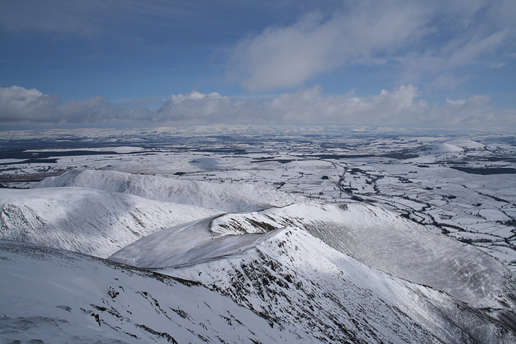
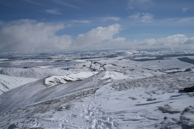
Scales Fell from Blencathra's summit with the North Pennines in the distance
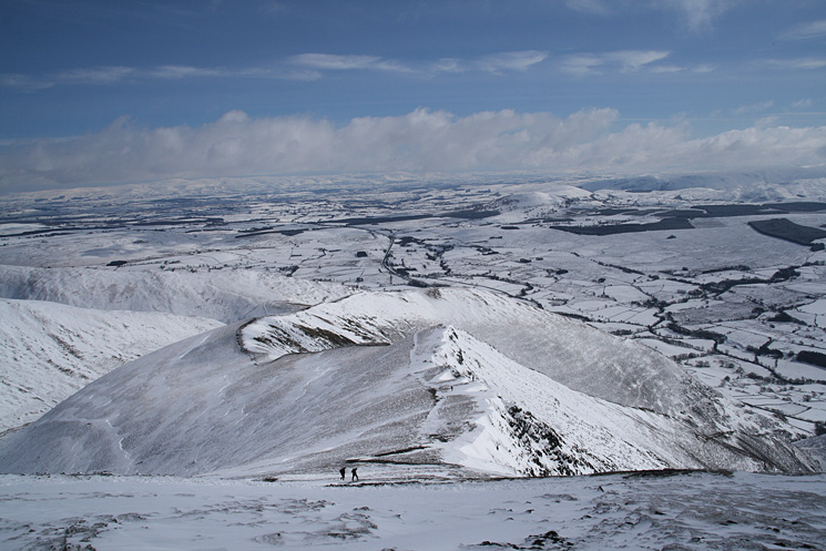
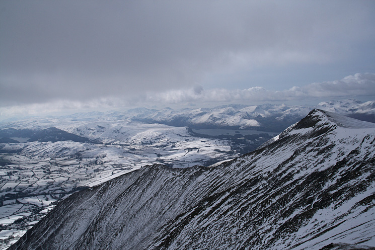
Gategill Fell Top with the north western fells beyond
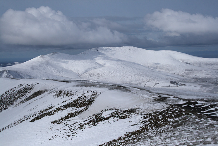
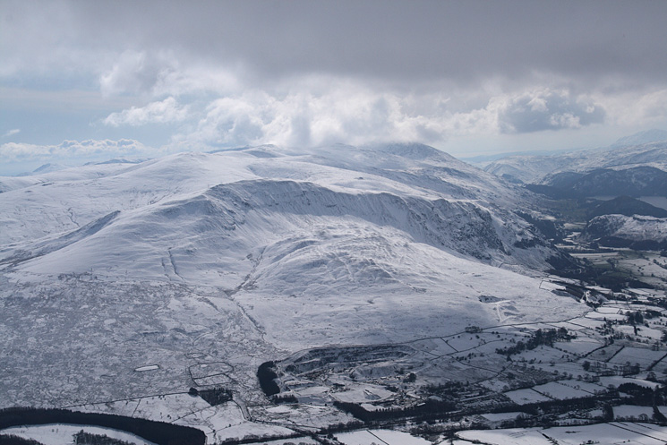
Skiddaw from Blencathra's summit
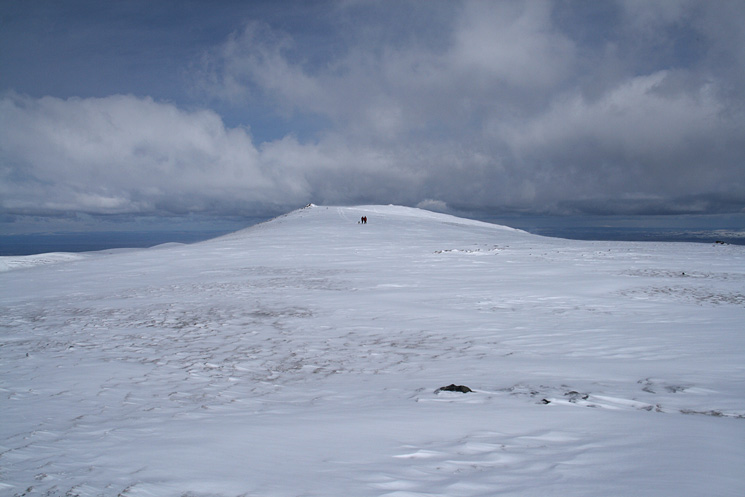
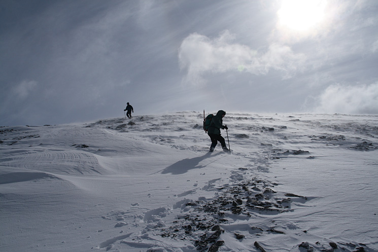
Heading for Atkinson Pike
Descending Blue Screes
High Pike is the highest point on the skyline
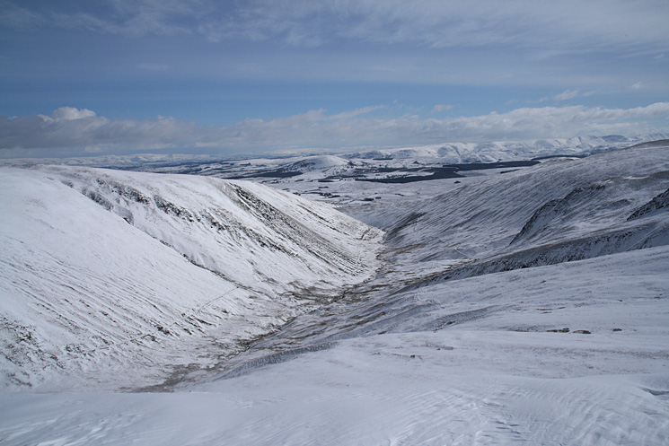
The valley of the infant River Glenderamackin
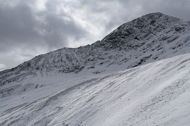
Looking up at Sharp Edge and Foule Crag
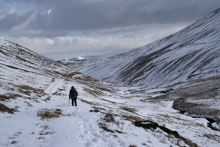
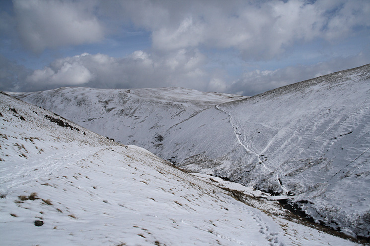
Heading down the valley of the River Glenderamackin
Footbridge across the River Glenderamackin
Previous Walk: Wythop Round (Fri 21 Mar 2008)
Next Walk: Helvellyn and the Dodds (Mon 24 Mar 2008)