Wild Helvellyn
Sat 2 Feb 2008
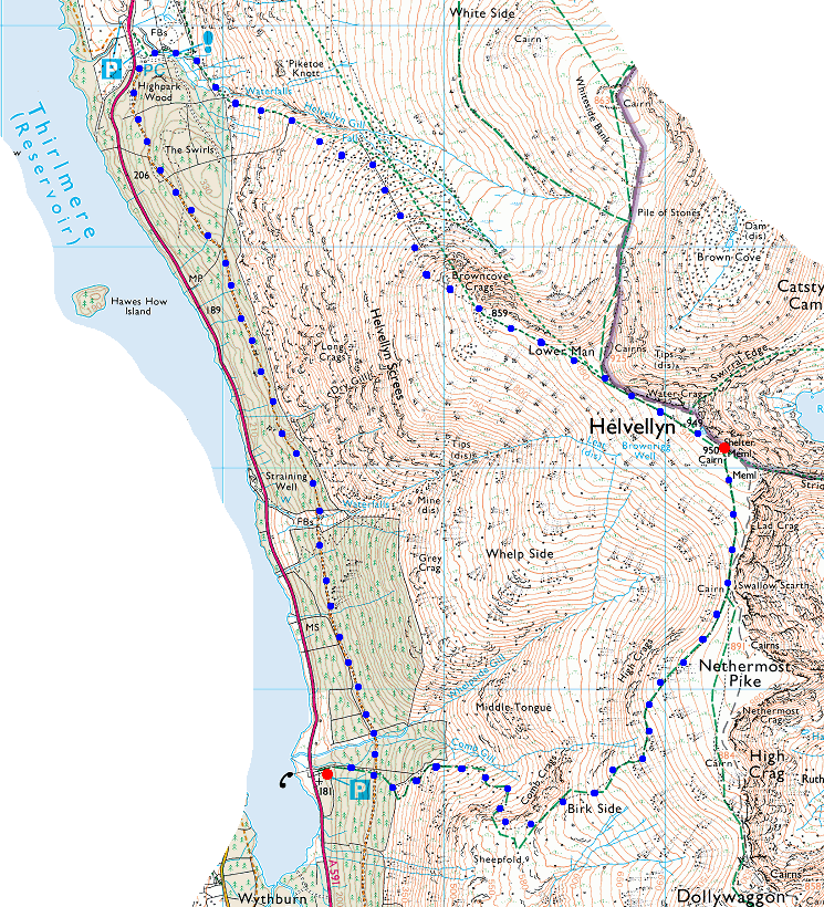
Route: Wythburn - Comb Gill - Birk Side - Swallow Scarth - Helvellyn - Browncove Crags path - Swirls - forest path - Wythburn
Distance: 6.75 miles
Ascent: 3,000ft
Time: 4 hours 30 minutes
With: David Hall
Notes:
Snow on the ground at all levels. VERY windy on the summit with lots of spindrift and verglas (ice) underfoot. The pitched path down to Swirls was very slippery with the compacted snow.
© Crown copyright. All rights reserved. Licence number AL100038401
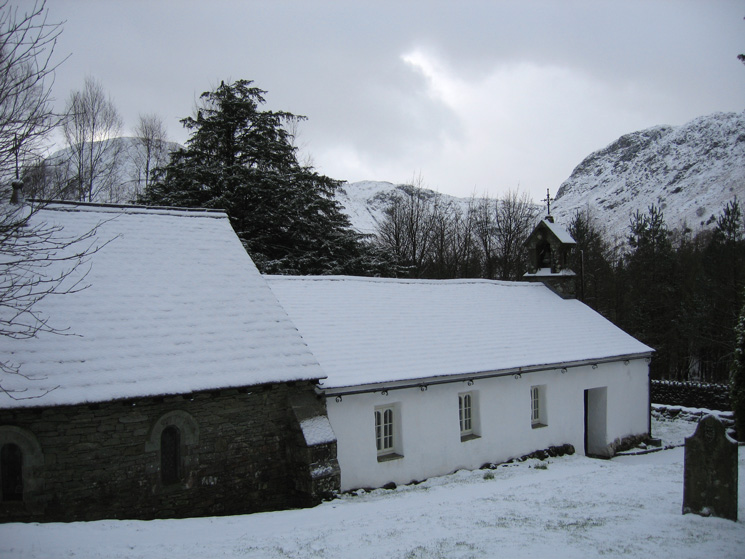
Wythburn Church
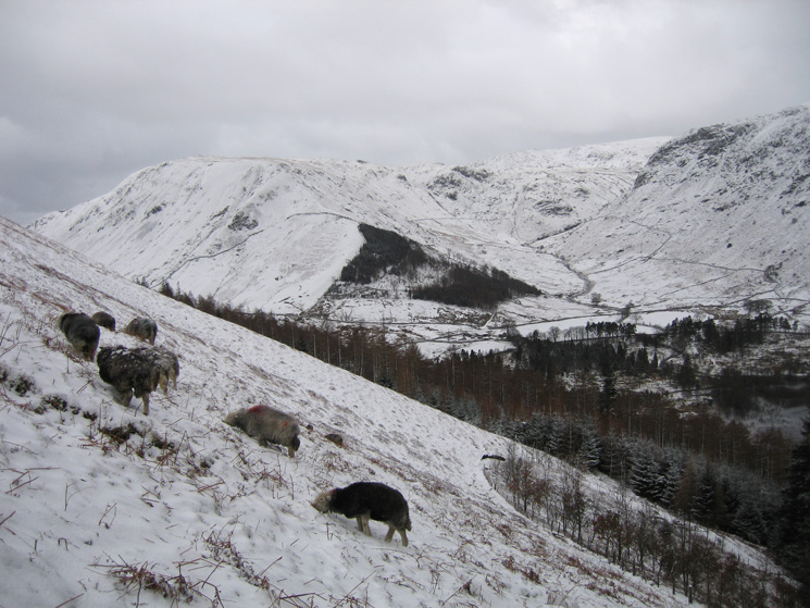
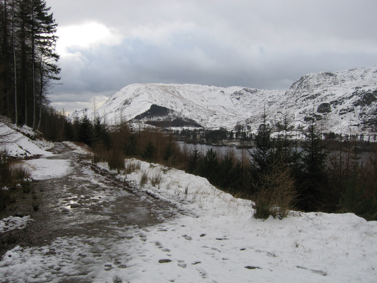
Steel Fell and the Wythburn valley from above Wythburn church
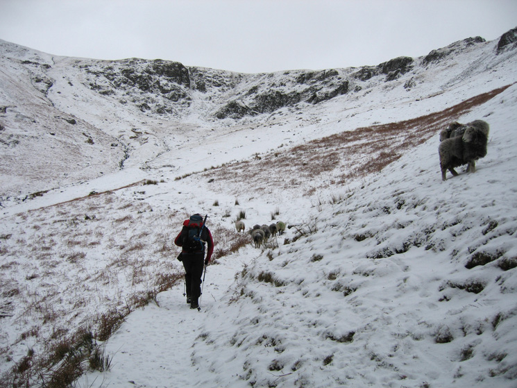
Heading into Comb Gill
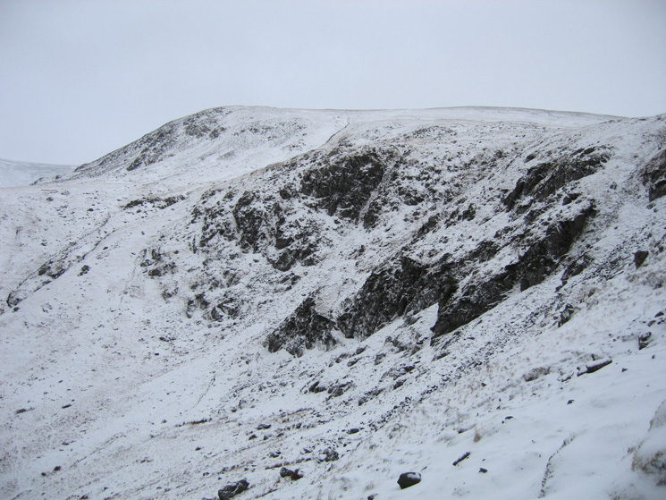
Comb Crags and Birk Side
Heading up the path out of Comb Gill onto Birk Side
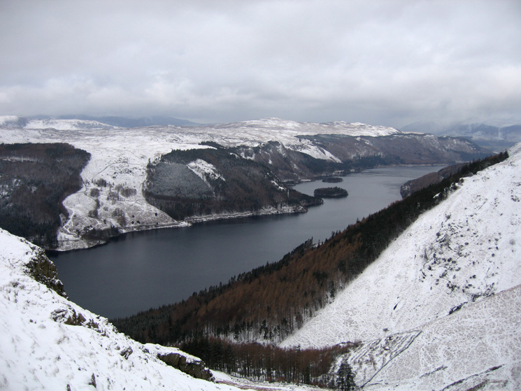
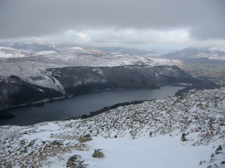
Thirlmere from above Comb Gill
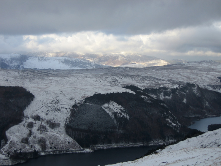
Looking over Thirlmere to the north western fells which are catching some sun
Looking over Steel Fell to Harrison Stickle and High Raise from Birk Side
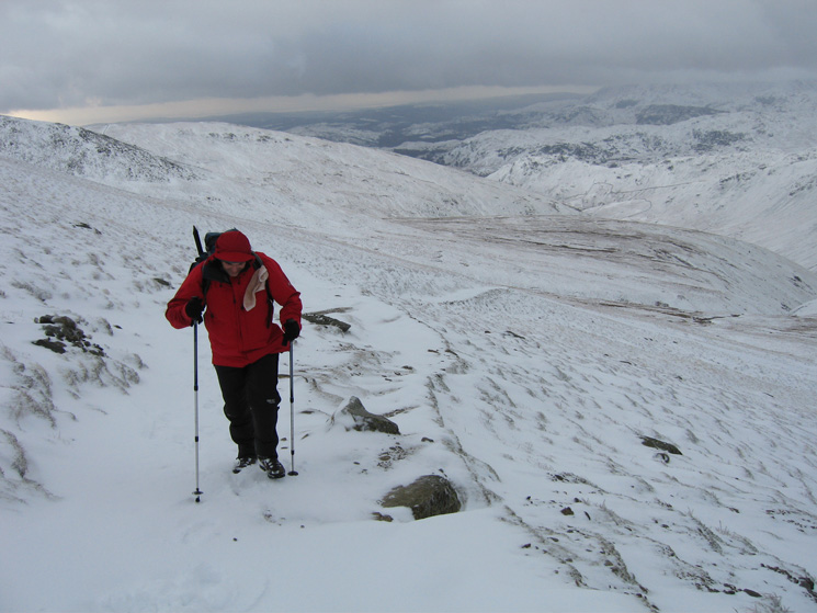
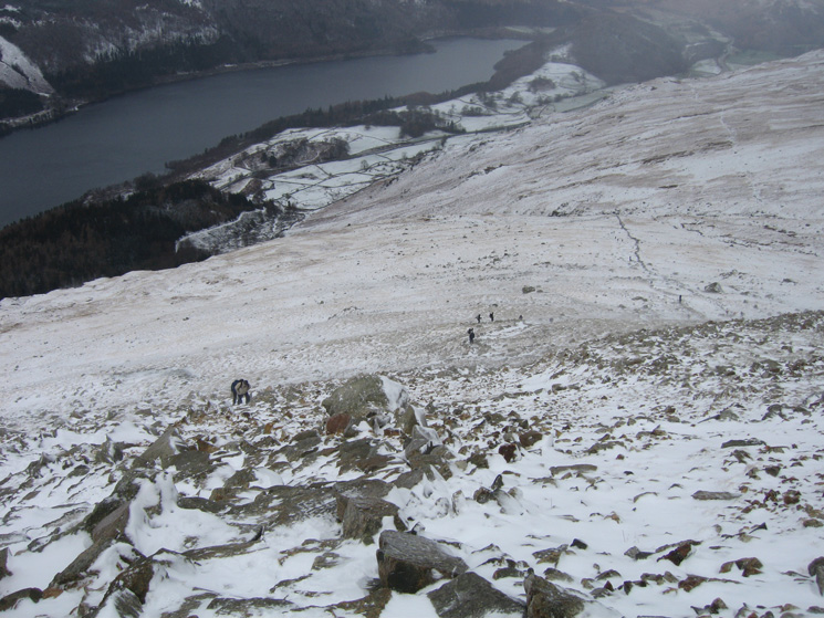
Heading up Birk Side
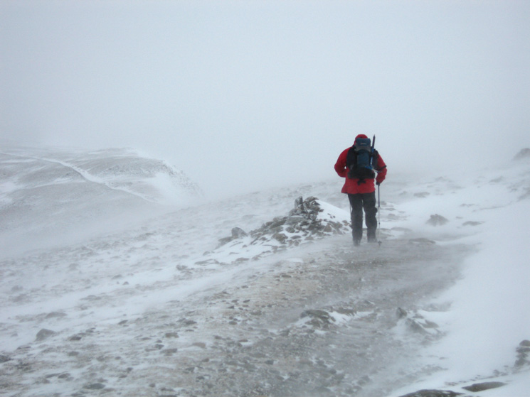
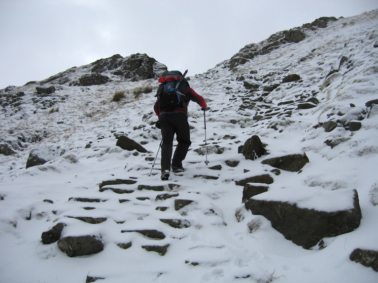
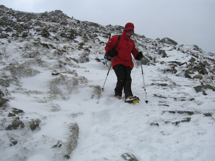
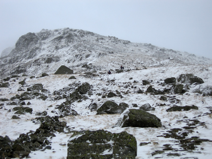
Fighting the wind and spindrift on the way to Swallow Scarth
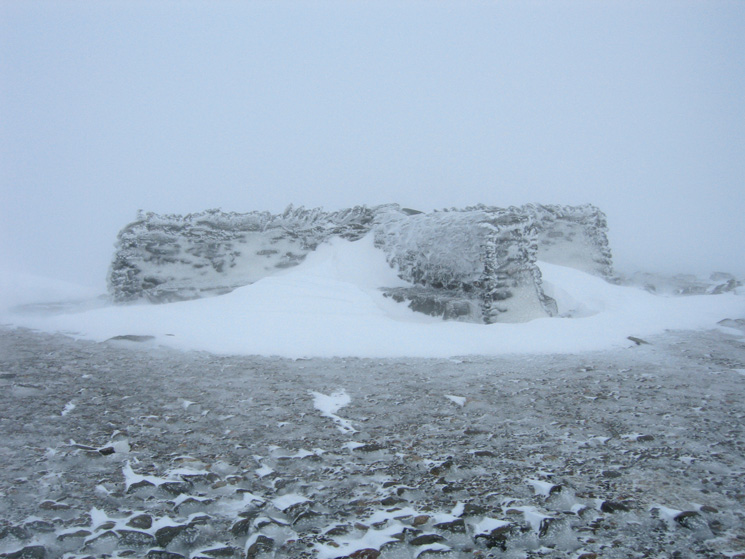
Helvellyn's cross shelter
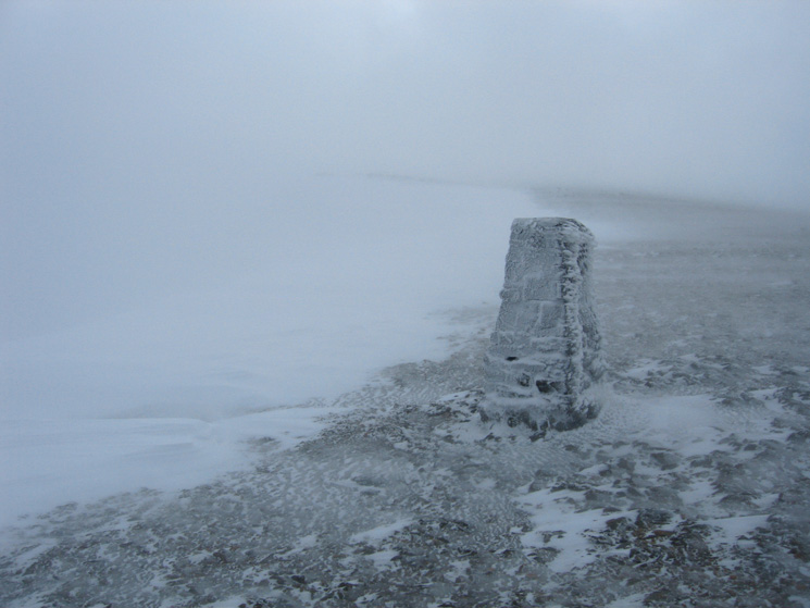
The trig point at Helvellyn's summit
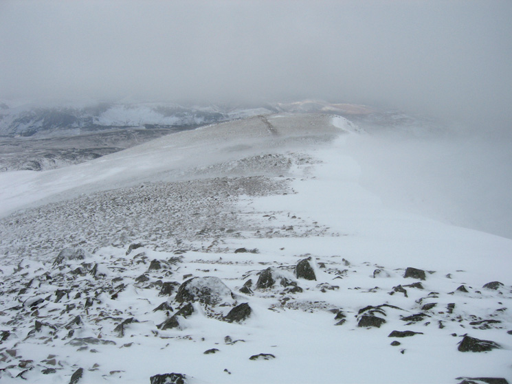
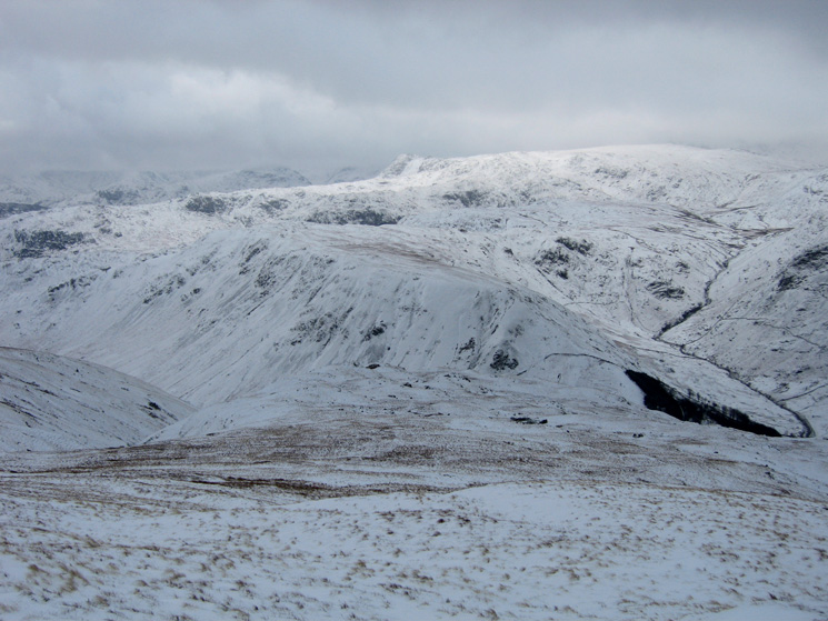
Looking towards the top of Browncove Crags
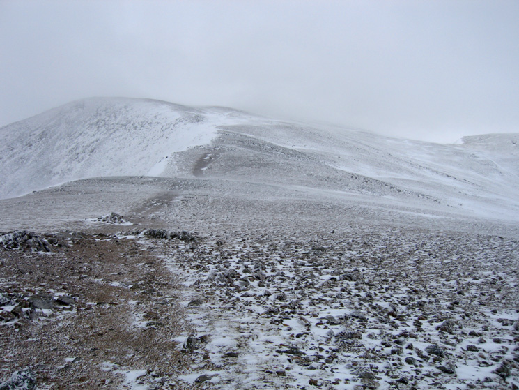
Looking back towards Helvellyn from above Browncove Crags
Thirlmere from the Swirls path
Looking down the Swirls path
Descending
Looking back up towards Browncove Crags
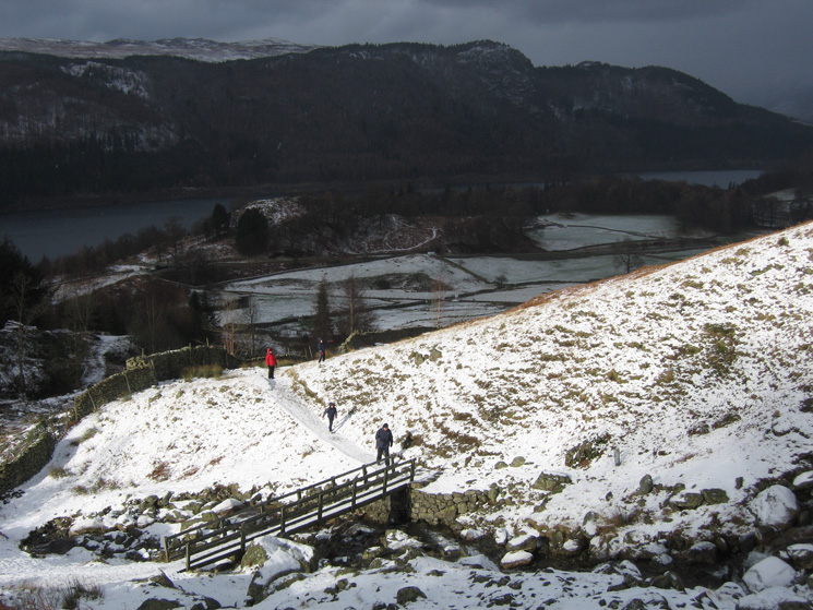
The footbridge over Helvellyn Gill with Raven Crag on the far side of Thirlmere
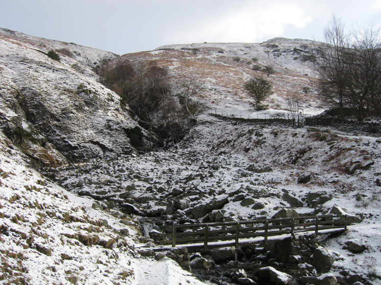
Helvellyn Gill
Looking down St John's in the Vale to Blencathra from Swirls
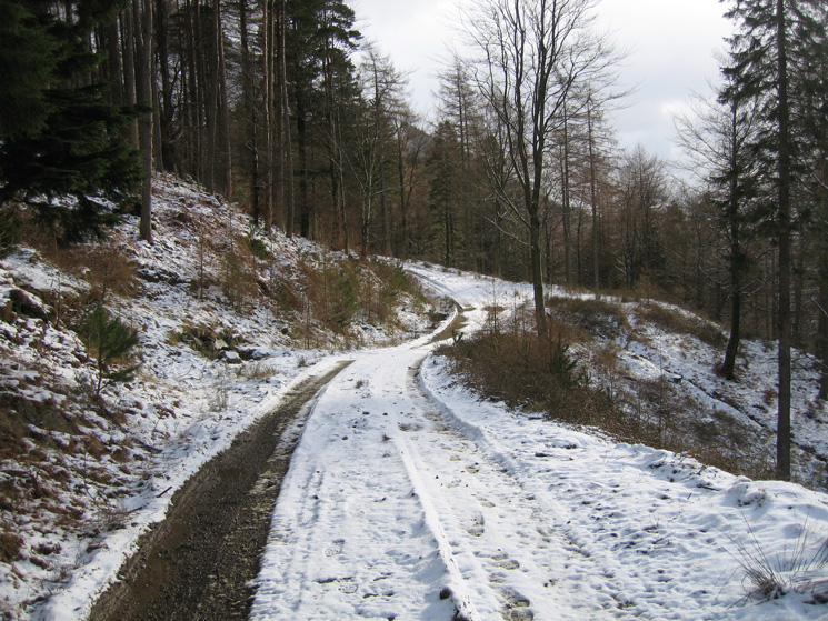
The permissive path from Swirls to Wythburn starts off along a forest track
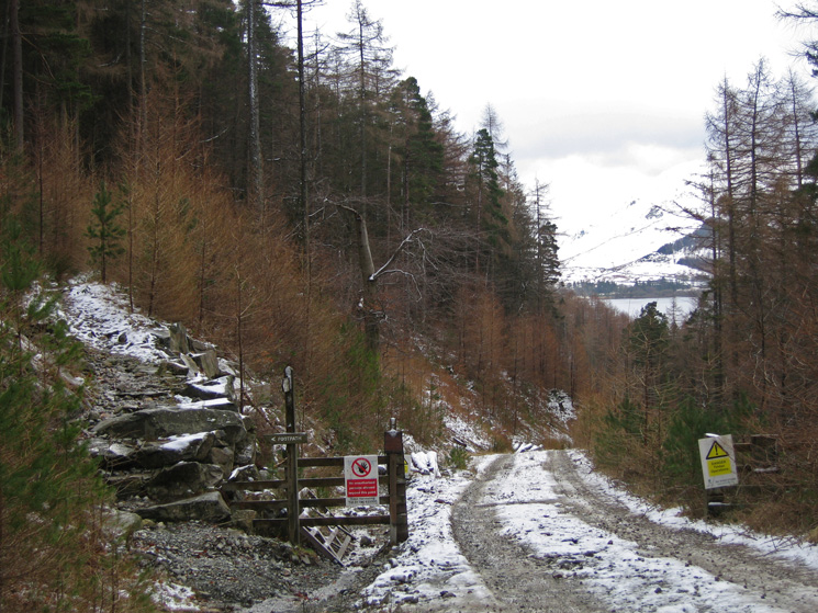
Permissive path above Thirlmere
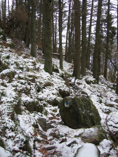
An old blue waymarker on the permissive path above Thirlmere
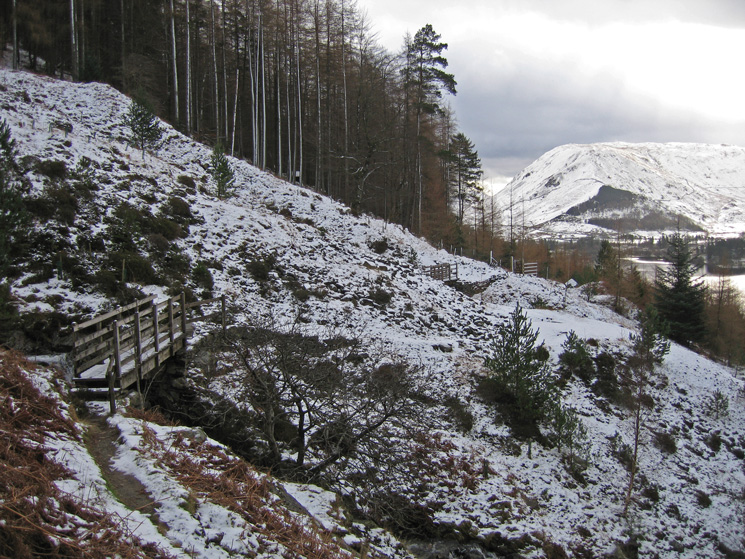
Footbridge across Mines Gill
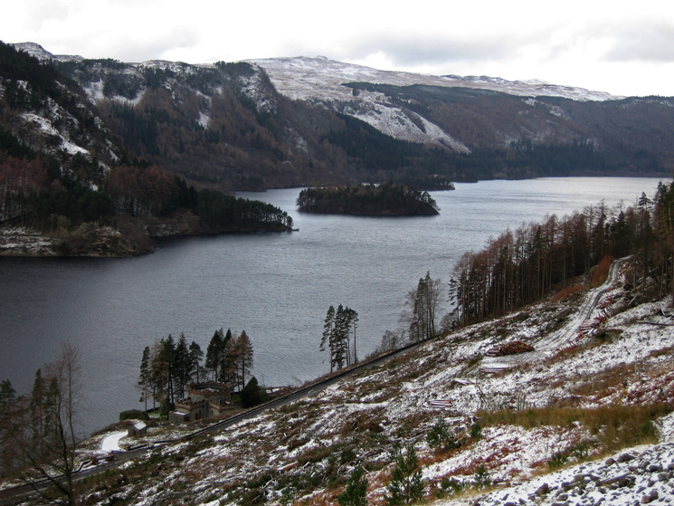
You can see much more of Thirlmere after the recent felling
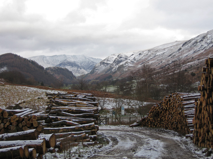
Steel Fell and the Wythburn valley from the permissive path
Previous Walk: Steel Knotts and Hallin Fell (Sun 27 Jan 2008)
Next Walk: Loughrigg Fell (Sun 3 Feb 2008)