Wether Hill and High Raise from Burnbanks
Sat 12 Apr 2014
Route: Burnbanks - Four Stones Hill - standing stones - Low Kop - High Kop - Wether Hill - Raven Howe - High Raise - Low Raise - Castle Crag - Haweswater shore path - Burnbanks
Distance: 13.25 miles
Ascent: 2,850ft
Time: 6 hours 45 minutes
With: David Hall, Neil Haslewood and Rod Hepplewhite
Notes:
Mostly raining or drizzle, marginally drier on the lake shore path. Tops in cloud
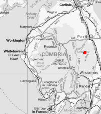
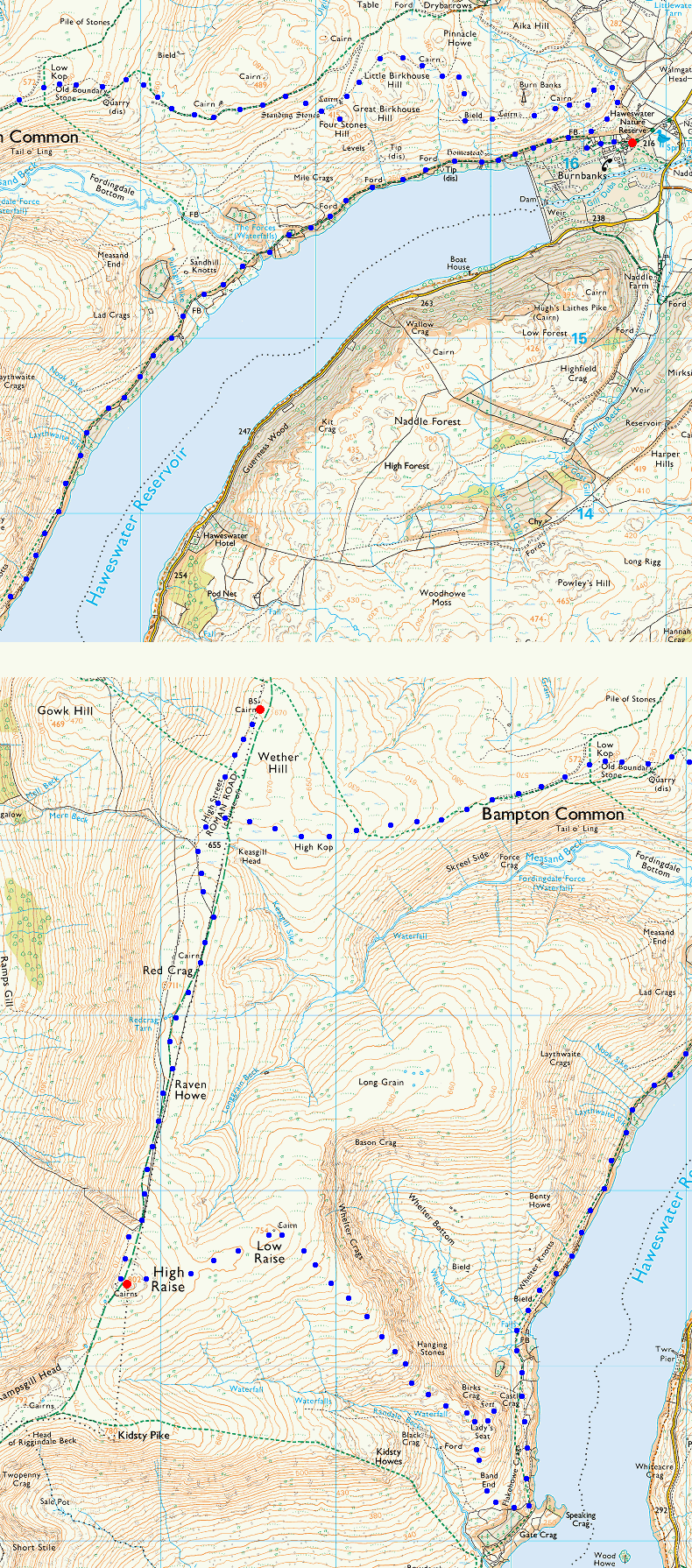
© Crown copyright. All rights reserved. Licence number AL100038401
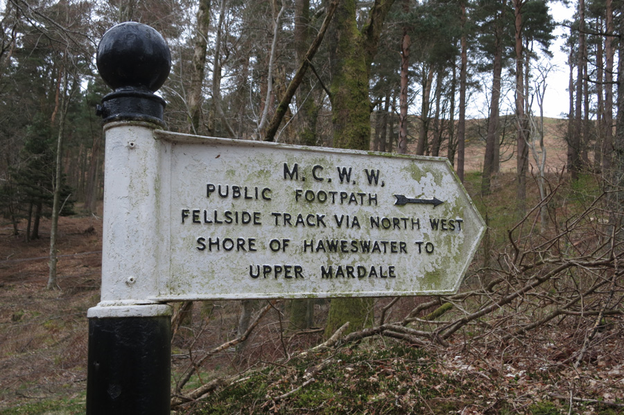
We will be coming back via the lake shore path
Site of the old TV aerials for Burnbanks
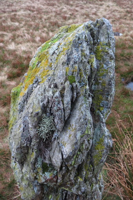
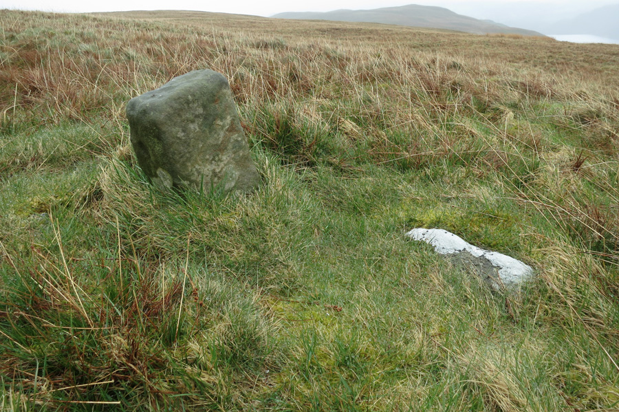
One of four stones
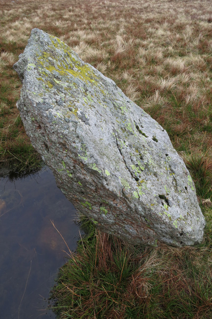
...the other one
Four Stones Hill from our climb up on to Bampton Fell
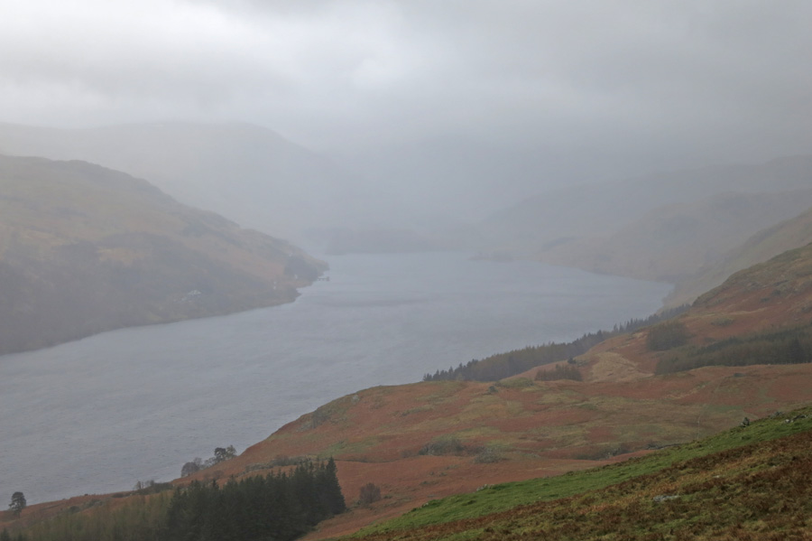
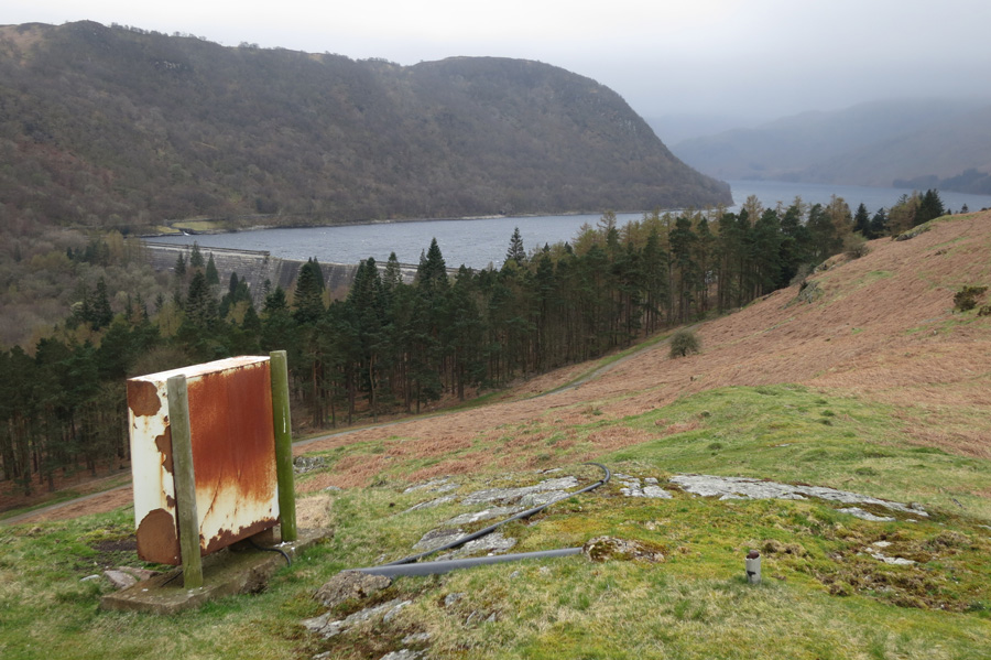
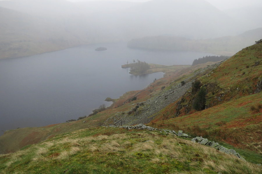
Haweswater
The old boundary stone near the summit of Low Kop
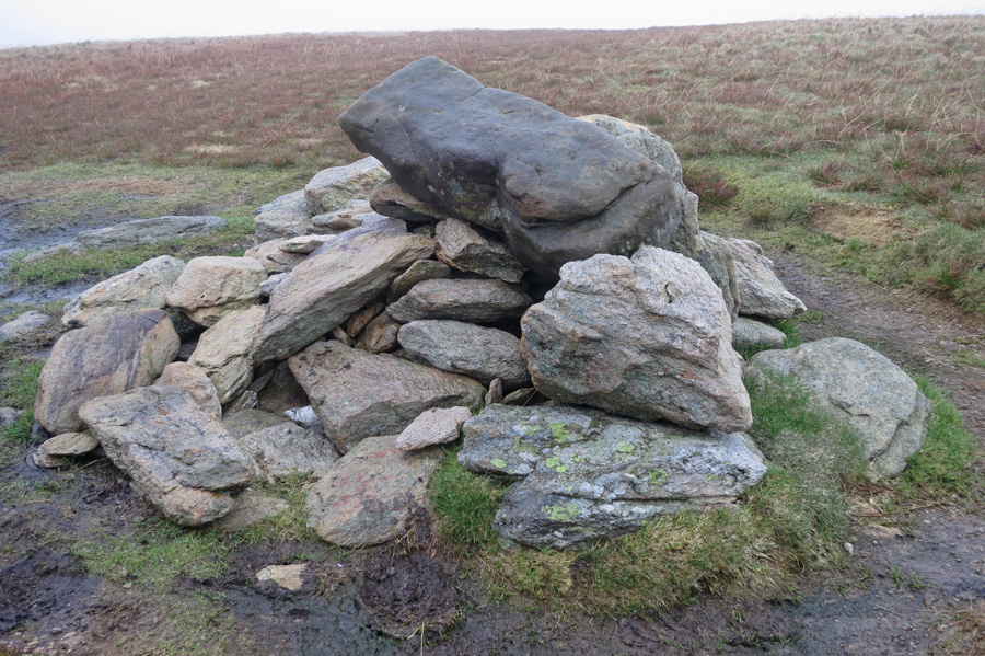
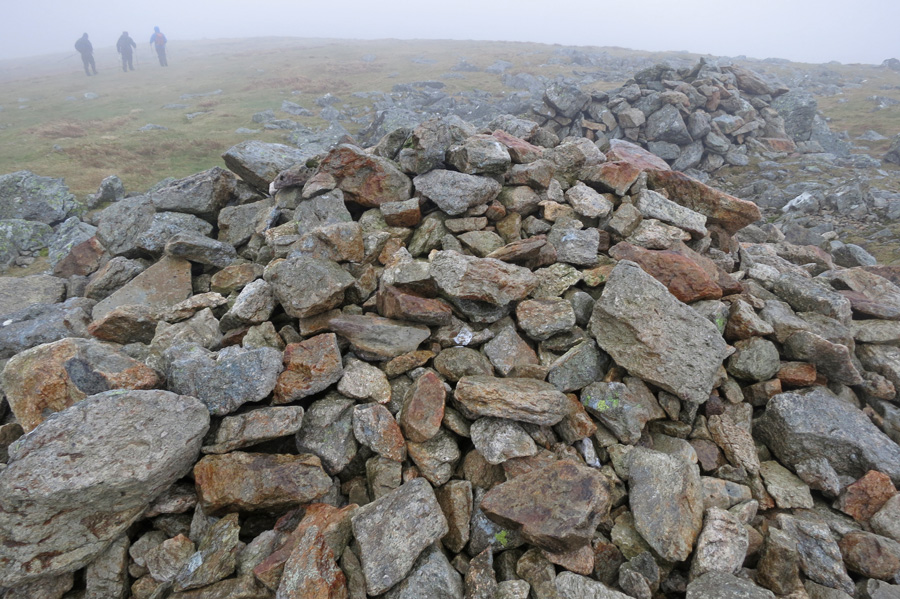
Wether Hill's summit cairn
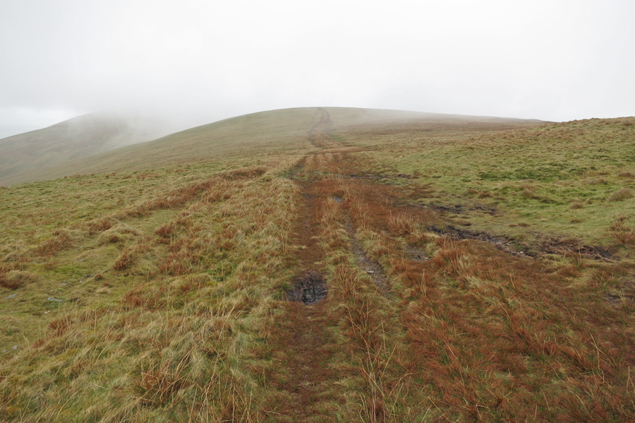
Looking back towards Wether Hill as we head south along the Roman road
A bit of a view near Keasgill Head
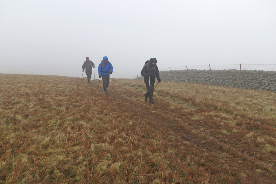
Gorillas in the Mist
Leaving High Raise's summit
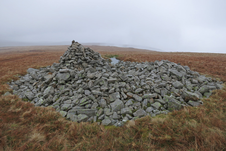
The large cairn / tumulus on Low Raise
Looking down on Castle Crag (on the left) from our descent of High Raise's southeast ridge
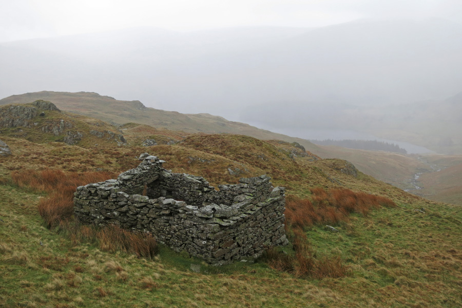
Peat hut?
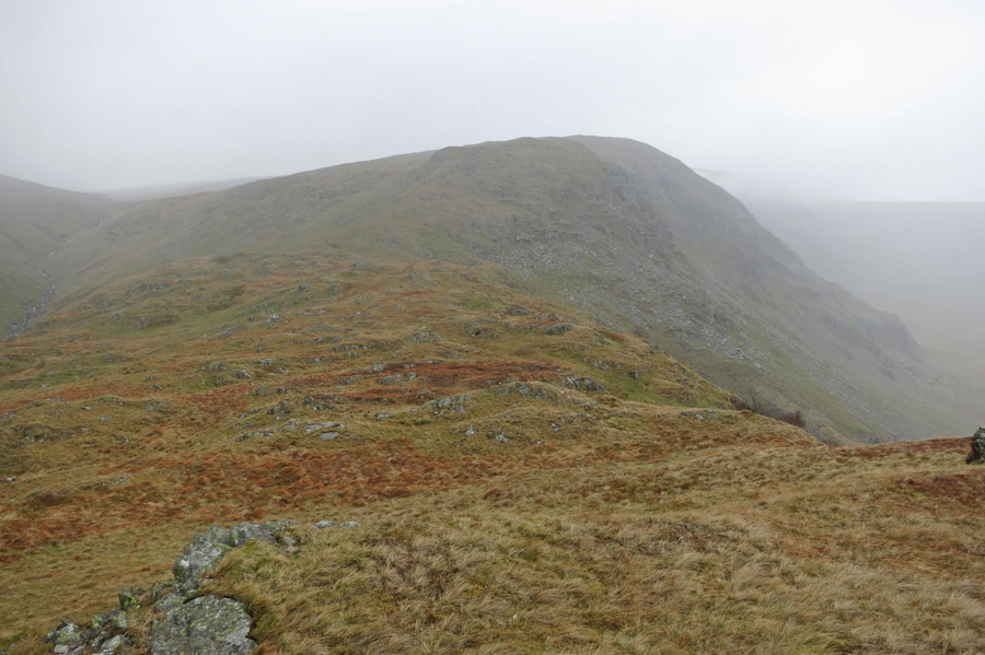
Looking back up the ridge
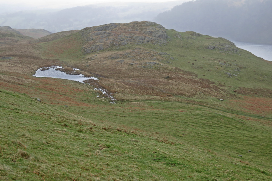
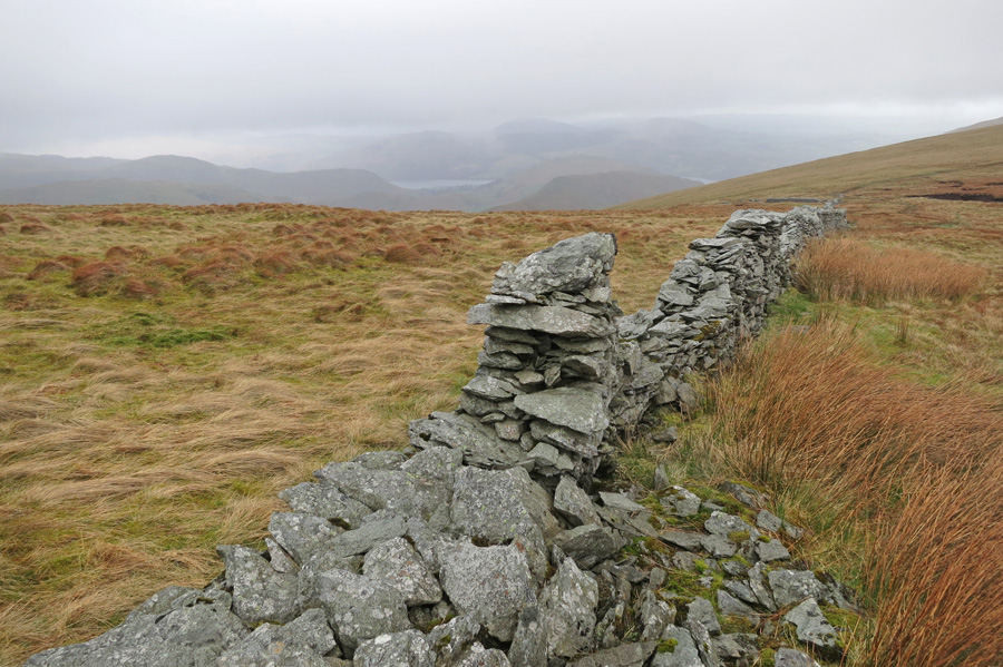
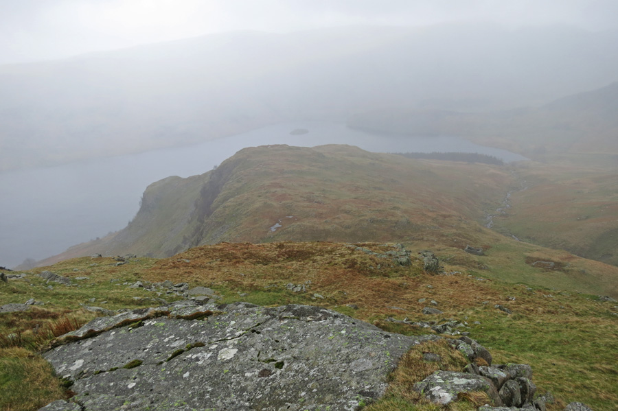
Castle Crag, the British Fort on the southeast ridge of High Raise with Haweswater beyond
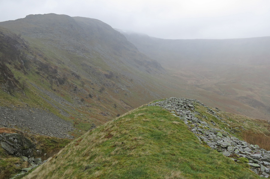
At the fort
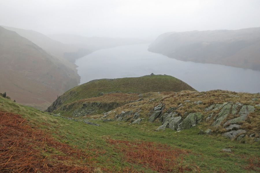
Looking down on Speaking Crag
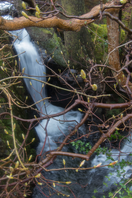
Waterfall and new life
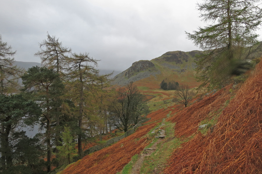
Looking back to Castle Crag
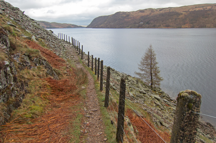
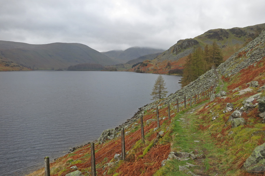
On the lake shore path
Previous Walk: Beda Fell from Patterdale (Sat 5 Apr 2014)
Next Walk: Barrow (Sun 27 Apr 2014)