Caudale Moor
Sun 14 Oct 2007
Route: Caudale Bridge - Caudale Quarry - Rough Edge - Caudale Moor - Caudale Moor Tarn - Stony Cove Pike - Threshthwaite Mouth - Threshthwaite Cove - Pasture Bottom - Hartsop - Cow Bridge - Brothers Water - Hartsop Hall - Sykeside - Brotherswater Inn - Caudale Bridge
Distance: 6.75 miles
Ascent: 2,150ft
Time: 3 hours 40 minutes
With: On Own
Notes:
Cloud on the tops
© Crown copyright. All rights reserved. Licence number AL100038401
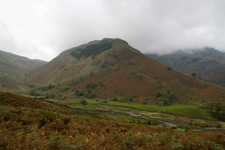
High Hartsop Dodd
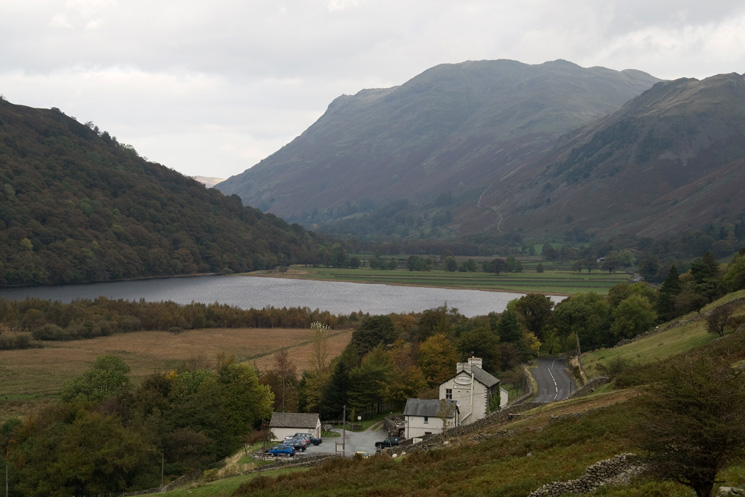
Brotherswater Inn with Brothers Water and Place Fell behind
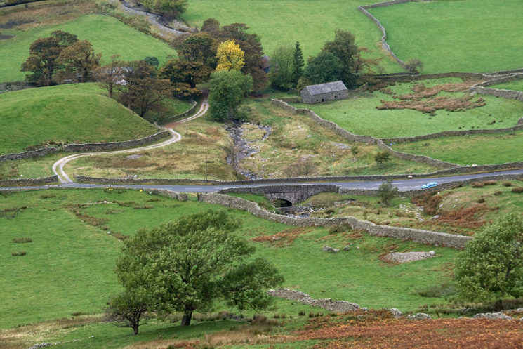
Looking down on Caudale Bridge
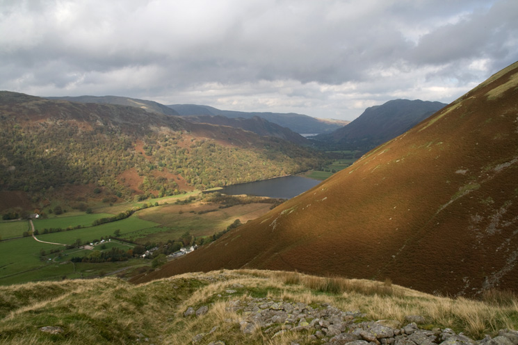
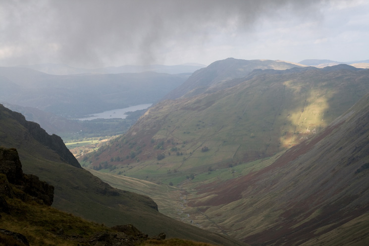
The view north to Brothers Water and a glimpse of Ullswater from the path up to Caudale Quarry
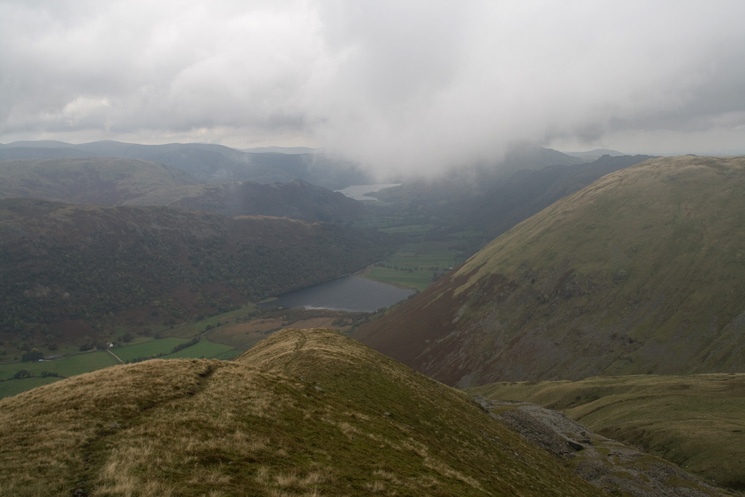
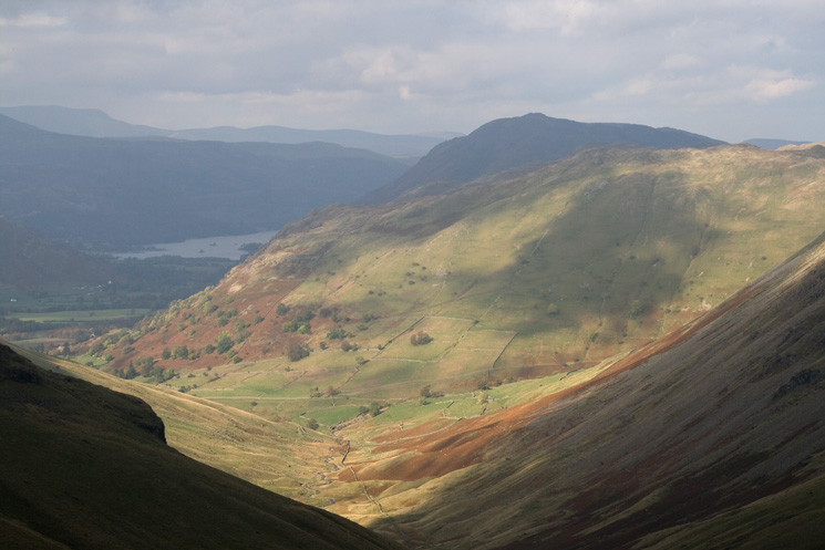
Brothers Water and Ullswater from Rough Edge, above Caudale Quarry (bottom right)
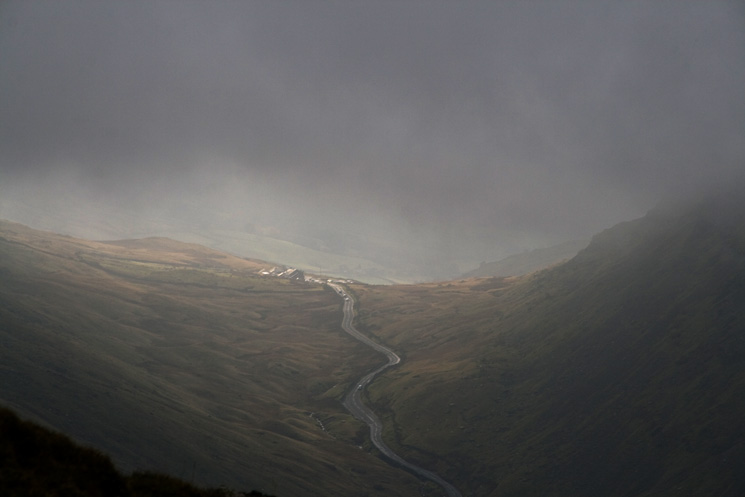
Kirkstone Pass
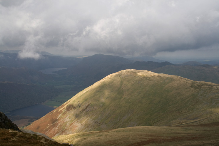
A floodlit Hartsop Dodd
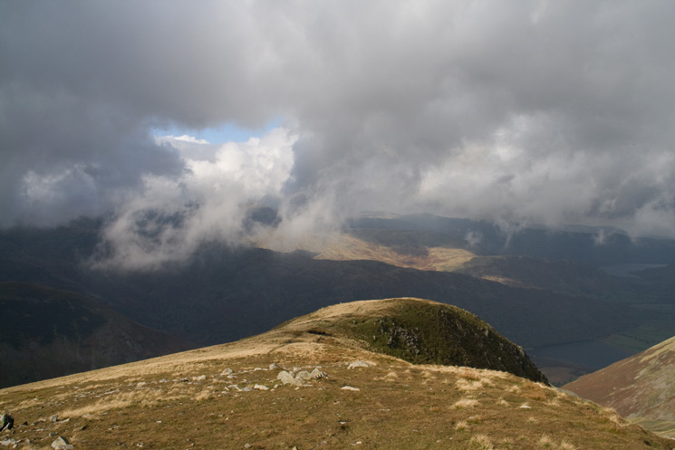
The top of Rough Edge
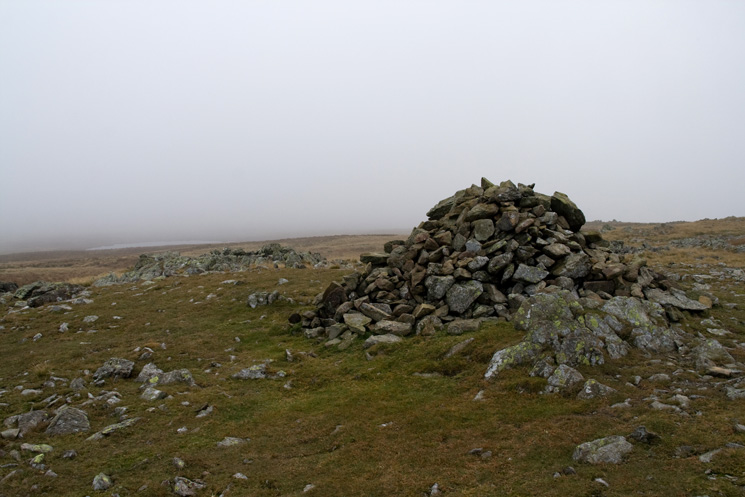
Caudale Moor's summit cairn
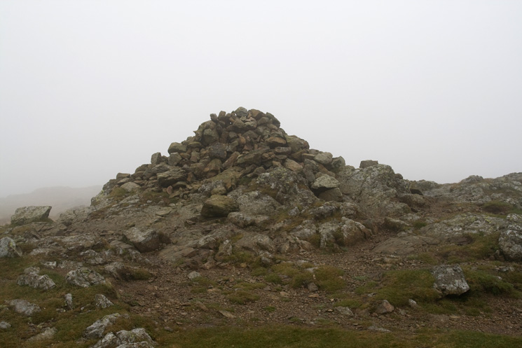
Stony Cove Pike's summit cairn
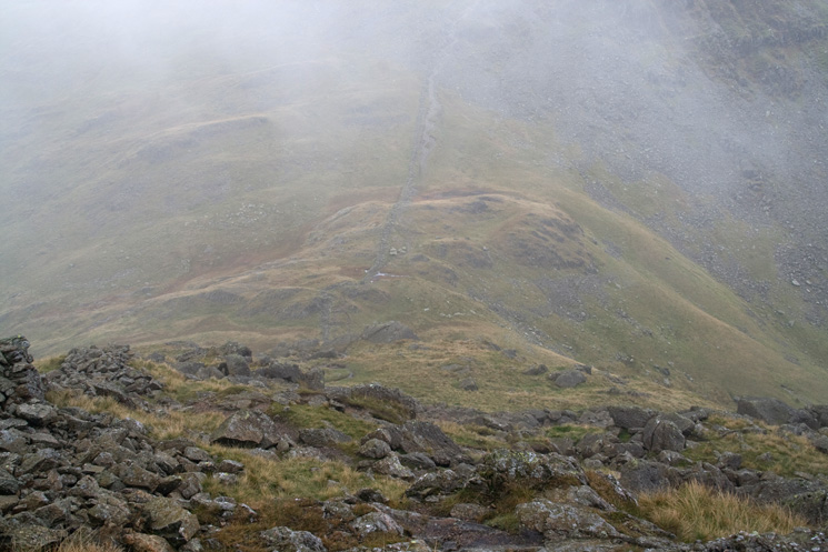
The descent to Threshthwaite Mouth
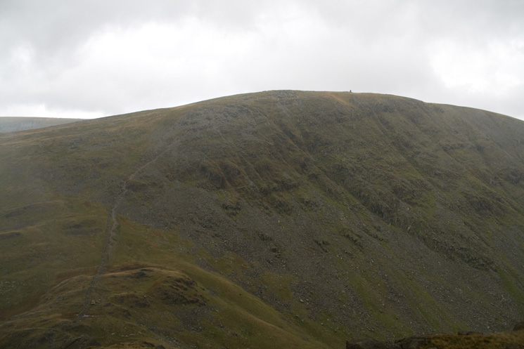
Looking over Threshthwaite Mouth to Thornthwaite Crag with the beacon on the skyline
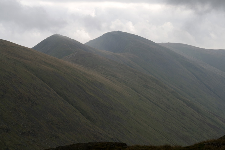
Froswick, Ill Bell and Yoke
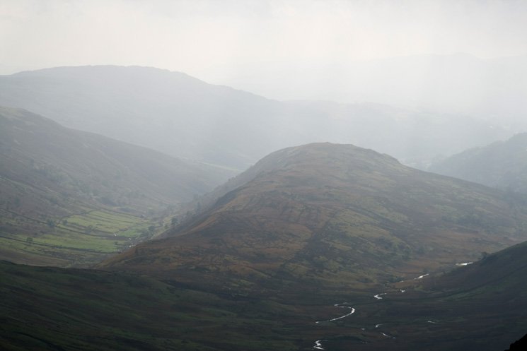
Troutbeck Tongue
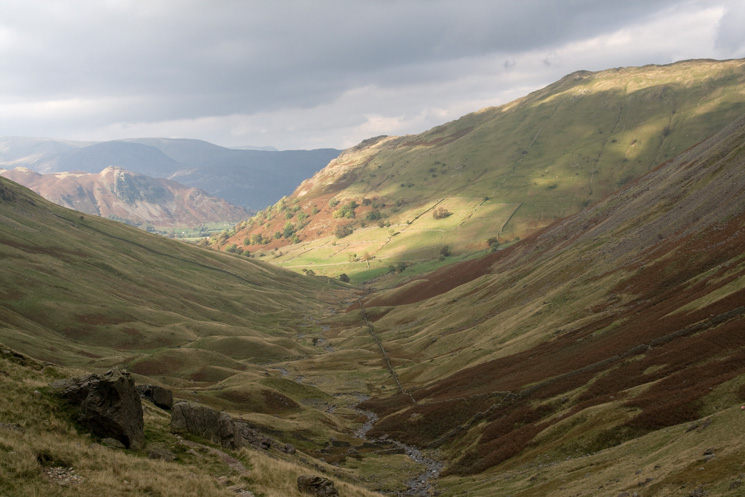
Brock Crags and Ullswater from the descent to Threshthwaite Mouth
Sunlit Pasture Bottom and Brock Crags
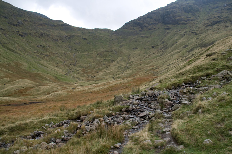
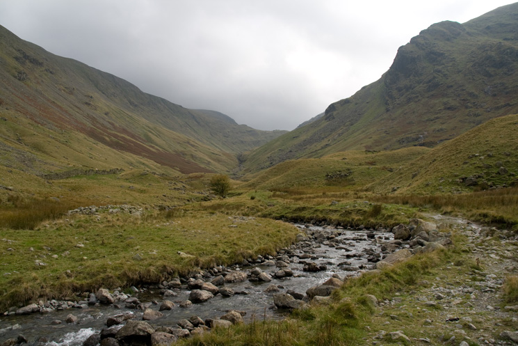
Threshthwaite Cove
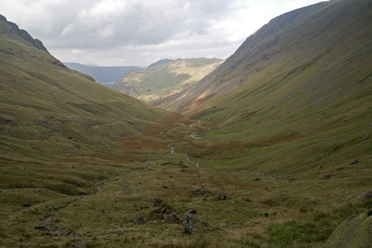
Threshthwaite Mouth from Threshthwaite Cove
Pasture Bottom
Looking back up Pasture Beck with Raven Crag on the right
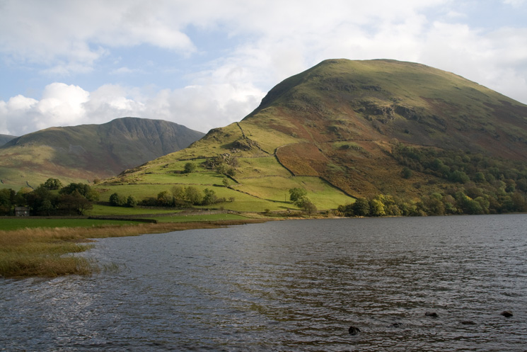
Hartsop Dodd with Gray Crag behind seen across Brothers Water
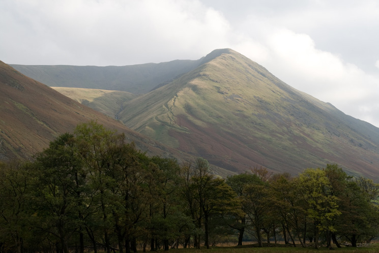
Rough Edge, my ascent route
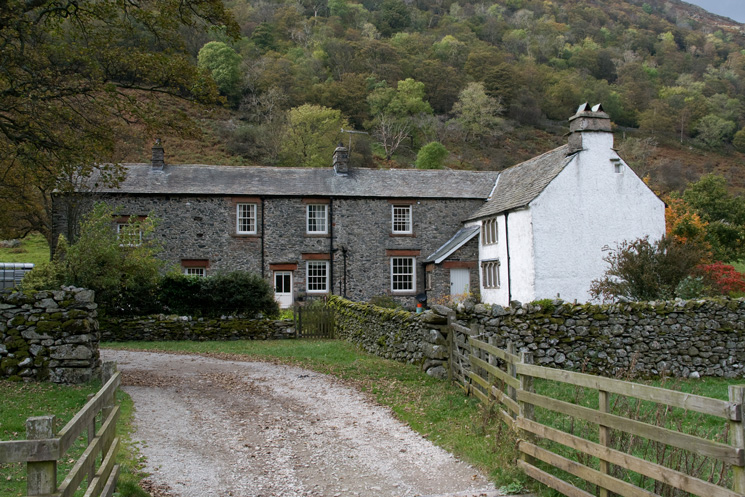
Hartsop Hall
Previous Walk: Hard Tarn, Red Tarn and Lanty's Tarn (Sat 6 Oct 2007)
Next Walk: Bowfell (Sat 20 Oct 2007)