Caermote Hill from Bothel
Wed 22 Aug 2007
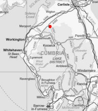
Route: Bothel - St John's Hill - Caermote Hill (St John's Hill) - Caermote Roman Fort - road - Bothel
Distance: 4.25 miles
Ascent: 600ft
Time: 1 hour 30 minutes
With: On Own
Notes:
A lovely sunny evening walk.
I followed A. Wainwright's 'Caermote Hill' walk in his book 'The Outlying Fells of Lakeland' [page 206]
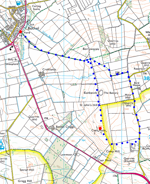
© Crown copyright. All rights reserved. Licence number AL100038401
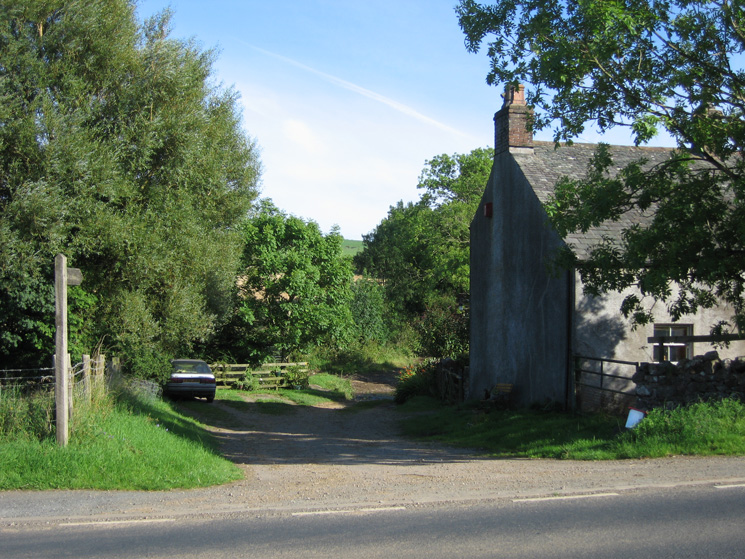
The start of the footpath leaving the A595 at Bothel
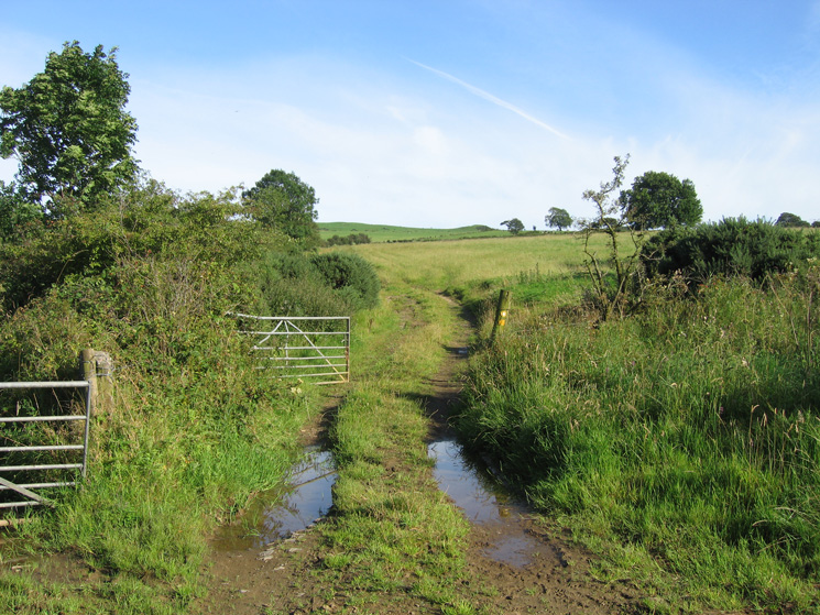
The route through the fields up onto the fell
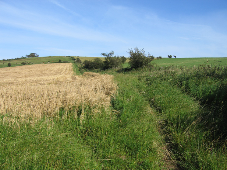
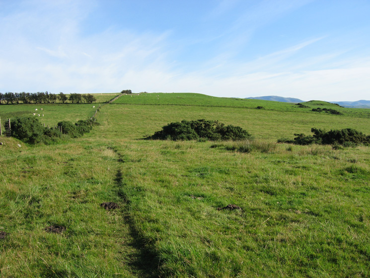
The public footpath heads straight for the ridge (skyline)
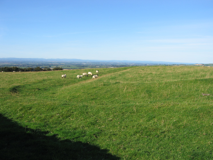
As I gain height the view opens up, looking back to Bothel and across the Solway Firth to Criffel
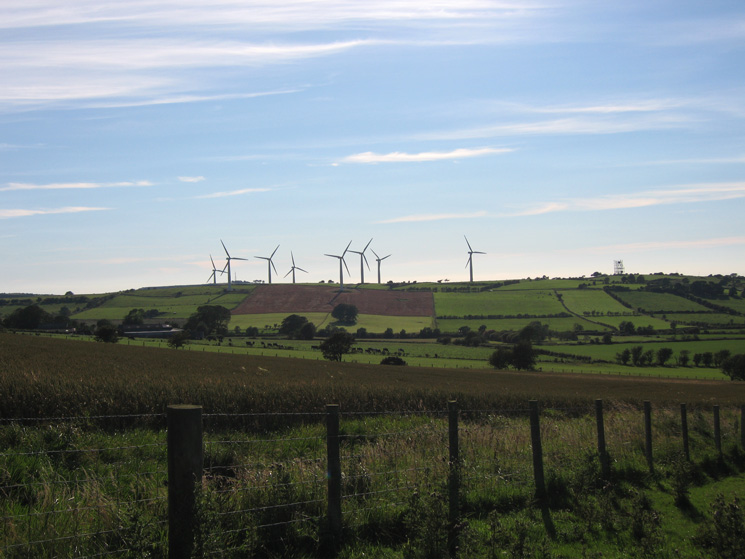
Wind turbines on Wharrels Hill on the north side of the A595
Looking south to the north western fells as I head for the ridge
Looking south along the ridge
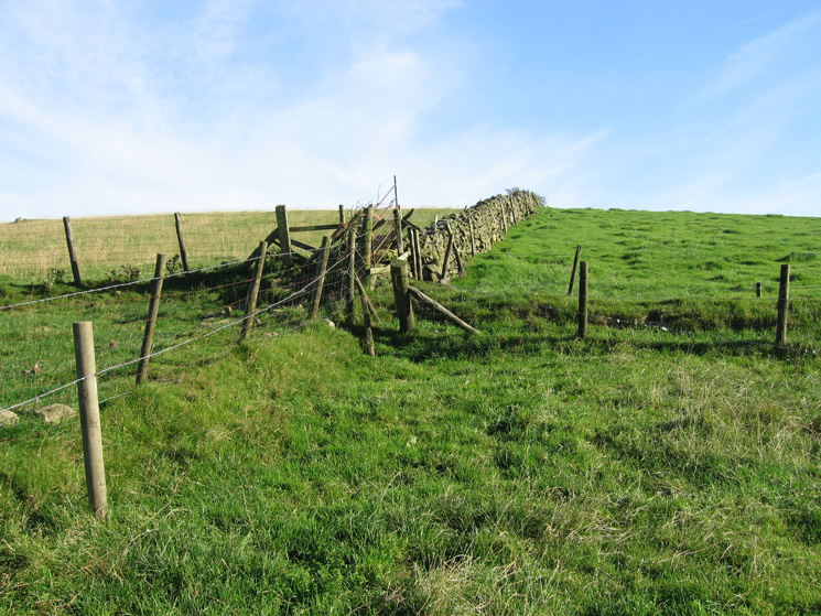
The only fence that need to be climbed on the route (the rest had gates or stiles)
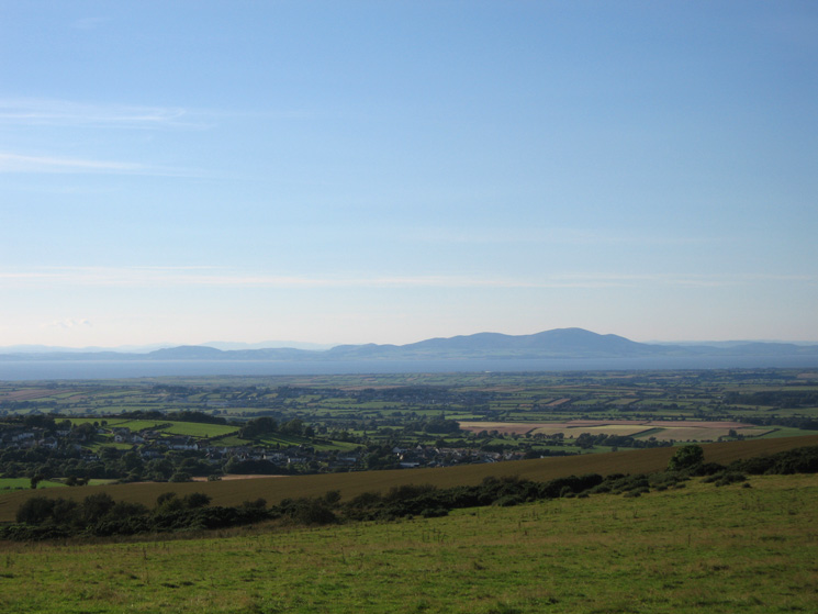
Criffel from the ridge
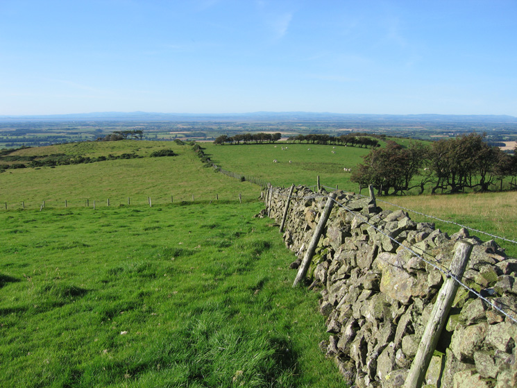
The view back north along the ridge as I head south for St John's Hill summit
Part of the ancient earthwork at St John's Hill's summit, marked as The Battery on the OS map
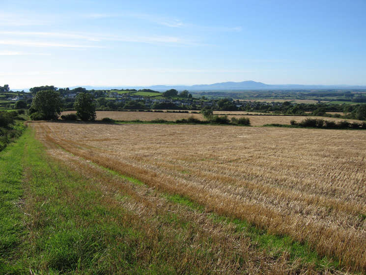
The view south from St John's Hill summit
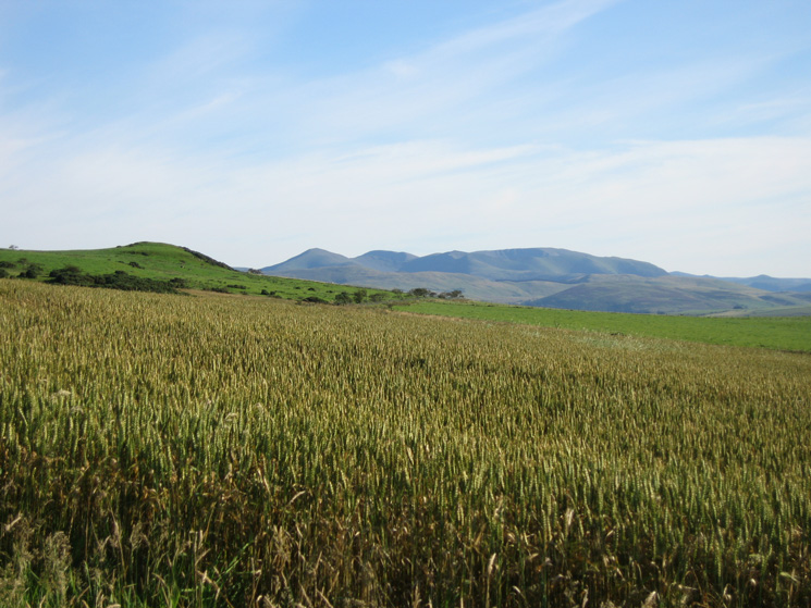
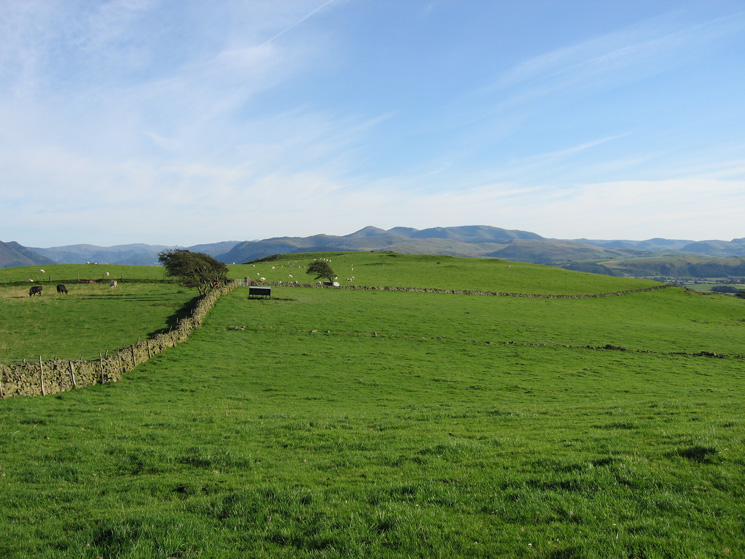
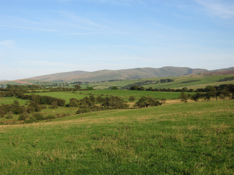
Binsey and the Skiddaw fells from St John's Hill
Caermote Hill summit
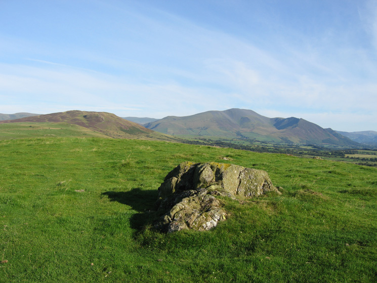
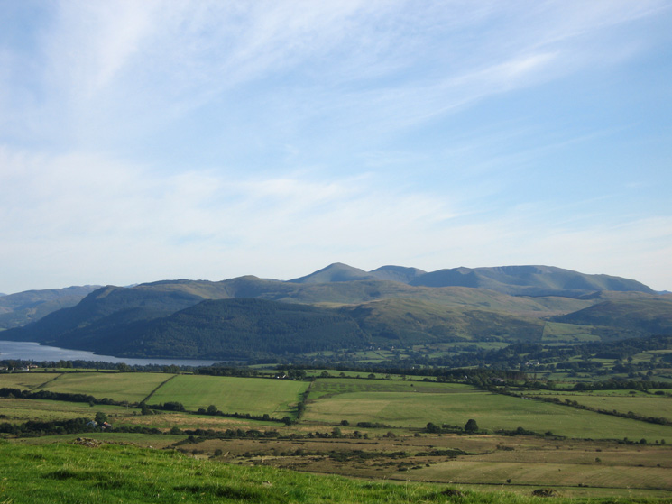
Binsey and the Skiddaw fells from Caermote Hill's summit
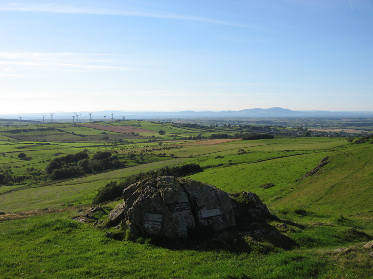
Memorial plaques on the summit outcrop, Caermote Hill
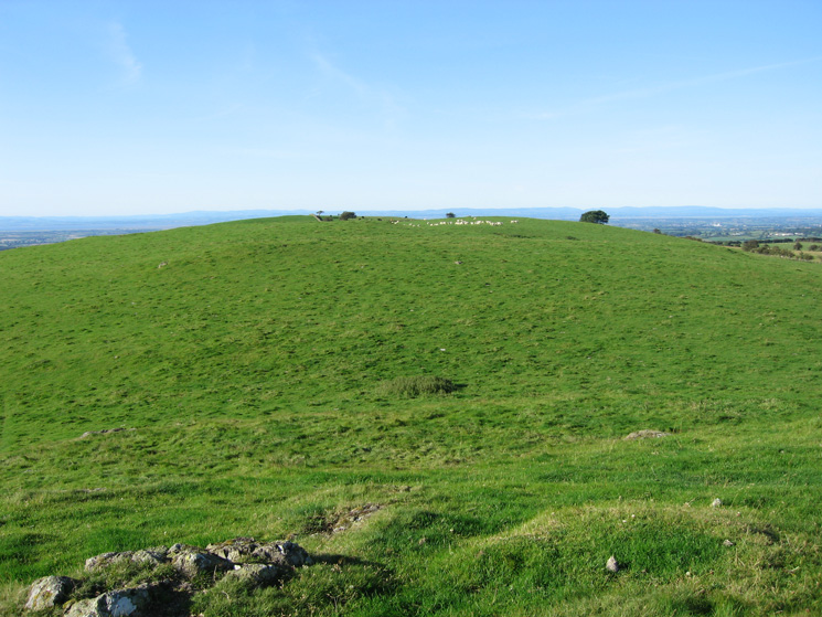
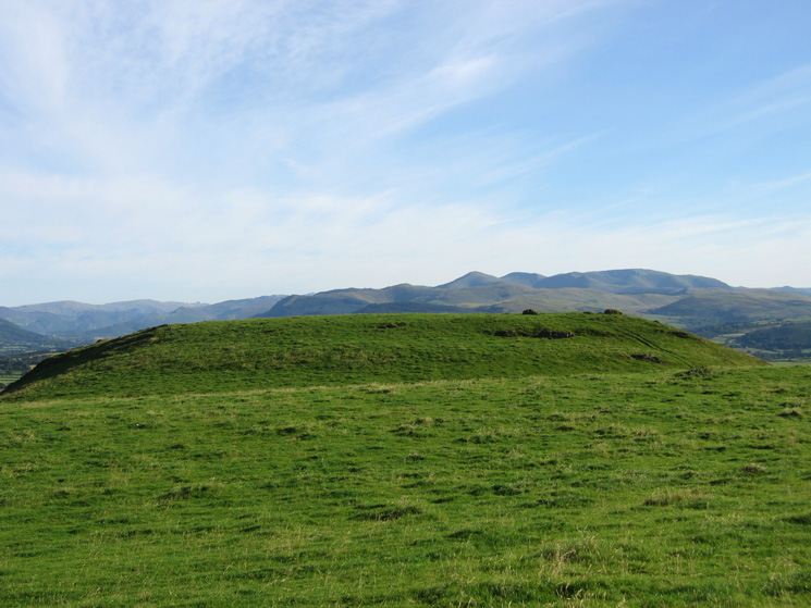
Looking back to St John's Hill from Caermote Hill summit
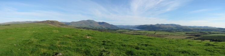
Southerly panorama from Caermote Hill's summit
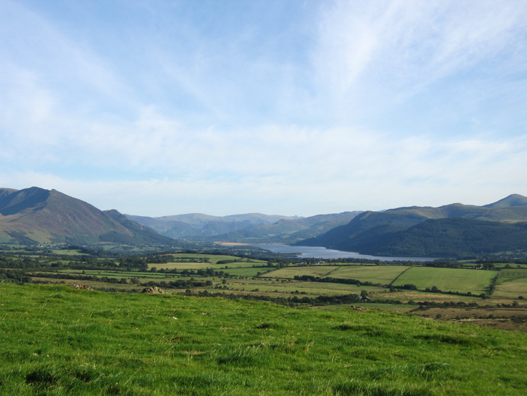
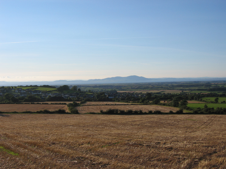
Looking south to Bassenthwaite Lake from Caermote Hill's summit
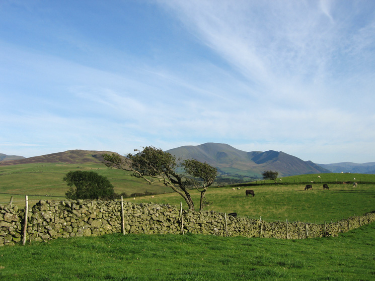
Zooming in on the north western fells from Caermote Hill
The remains of Caermote Roman Fort are now hard to see!
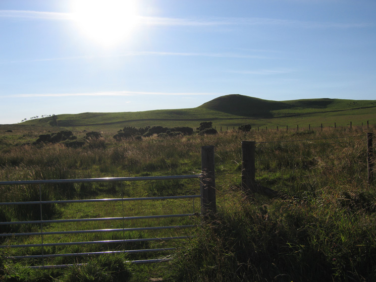
Caermote Hill from the minor road to the east
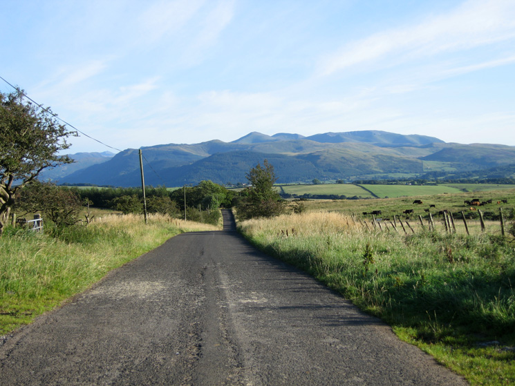
The view south down the road
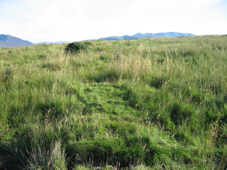
The back of Skiddaw fells from the footpath up over the ridge that I took to rejoin my outward route
Criffel as I head back down to Bothel
Previous Walk: Brim Fell and Coniston Old Man (Sun 19 Aug 2007)