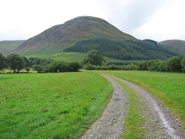
Gavel Fell from Loweswater
Sun 12 Aug 2007
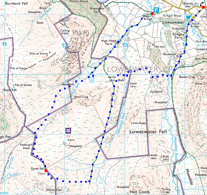
Route: Maggie's Bridge, Loweswater - High Nook Farm - High Nook Tarn - Gavel Fell - track above Whiteoak Beck - Whiteoak Beck - Mosedale Beck - Loweswater Village
Distance: 5.75 miles
Ascent: 1,650ft
Time: 3 hours 15 minutes
With: David Hall and Roger Hiley
Notes:
Overcast with cloud touching the tops to start but brightening with the cloud lifting and breaking during the walk.
© Crown copyright. All rights reserved. Licence number AL100038401
Carling Knott from the track to High Nook Farm
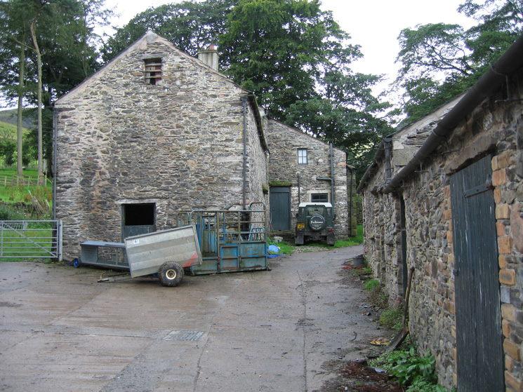
High Nook Farm
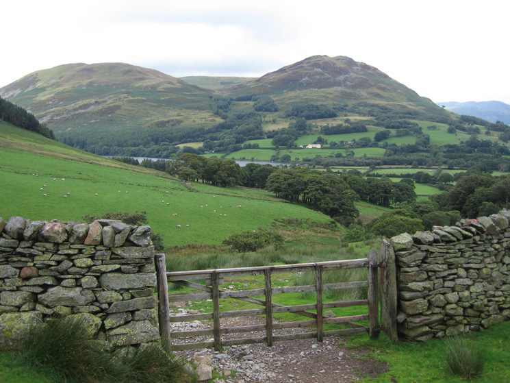
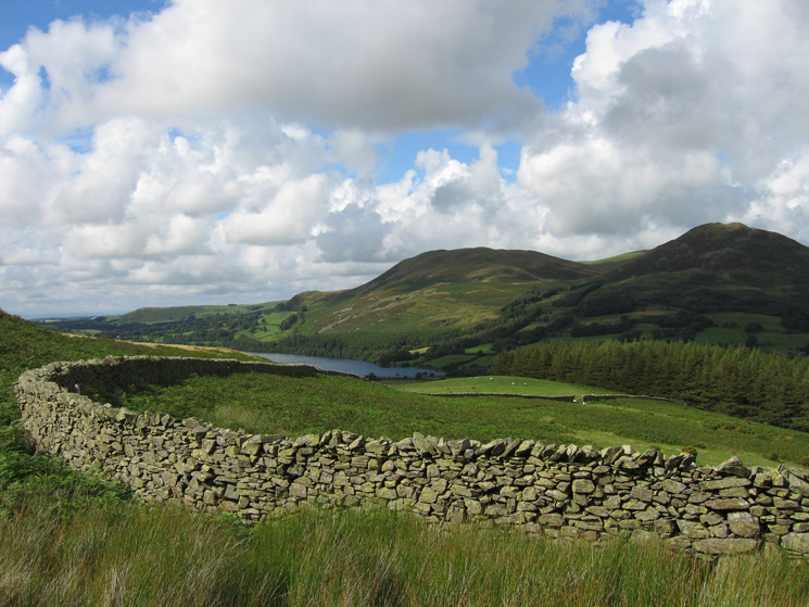
Darling Fell, Low Fell and a glimpse of Loweswater from above High Nook Farm
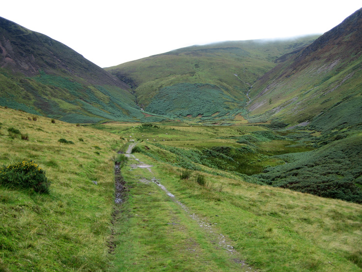
The way ahead, the path zig-zags up through the bracken directly ahead before heading left to the col between Gavel Fell and Blake Fell
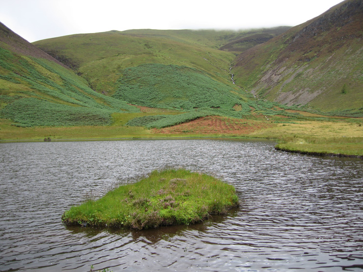
Highnook Tarn (unnamed on the OS map)
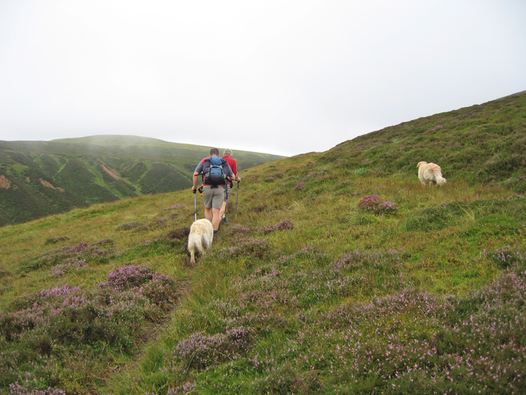
Looking back down on our route as we climb up through the bracken
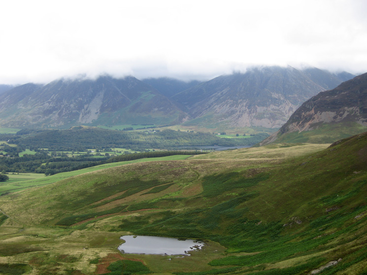
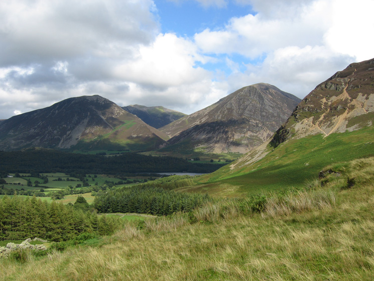
Whiteside and Grasmoor both with their tops in cloud and Highnook Tarn below
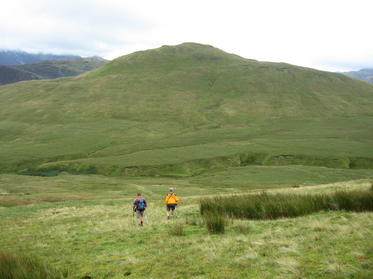
Heading for the col between Gavel Fell (left) and Blake Fell
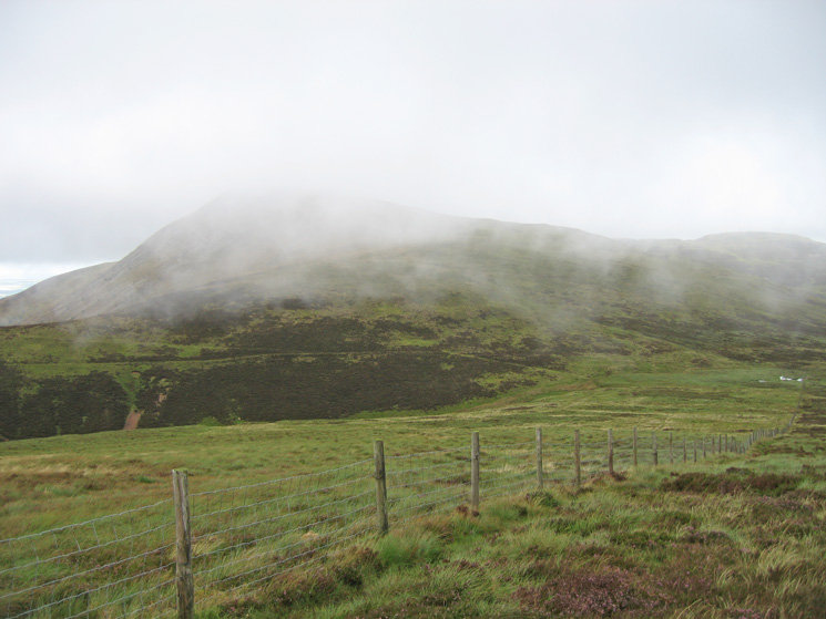
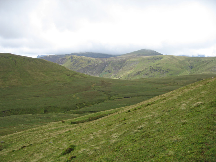
Blake Fell in the cloud
Gavel Fell's summit
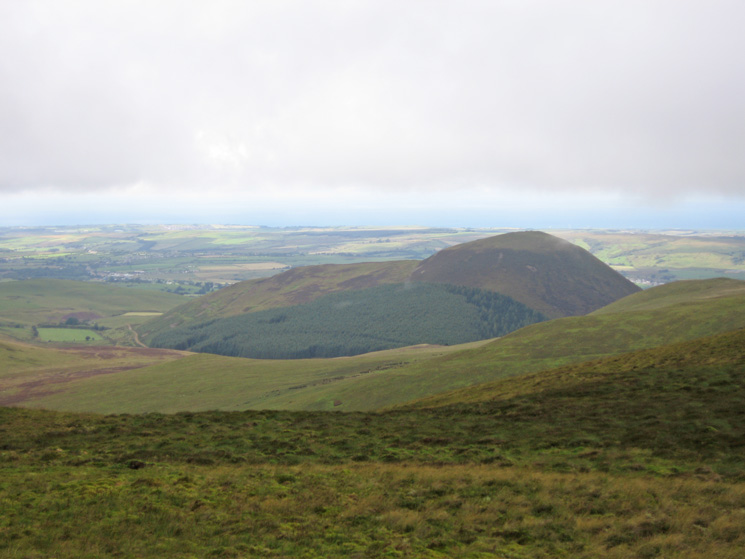
Knock Murton from Gavel Fell's summit
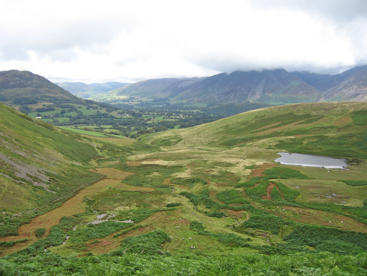
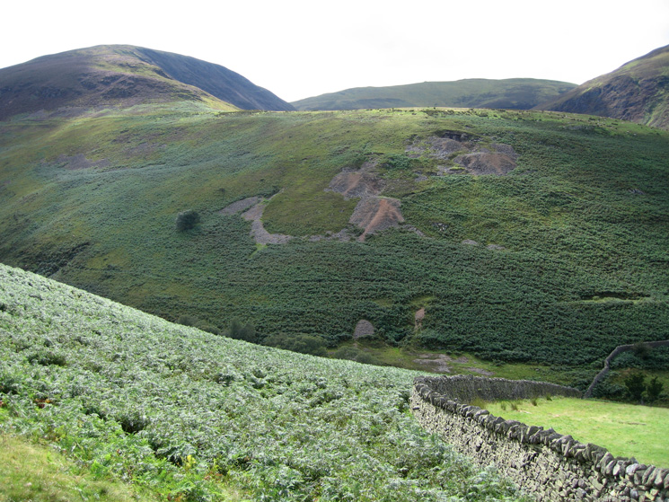
Whiteoak Common from the slopes of Gavel Fell
Descending to pick up the track above Whiteoak Beck with Hen Comb ahead
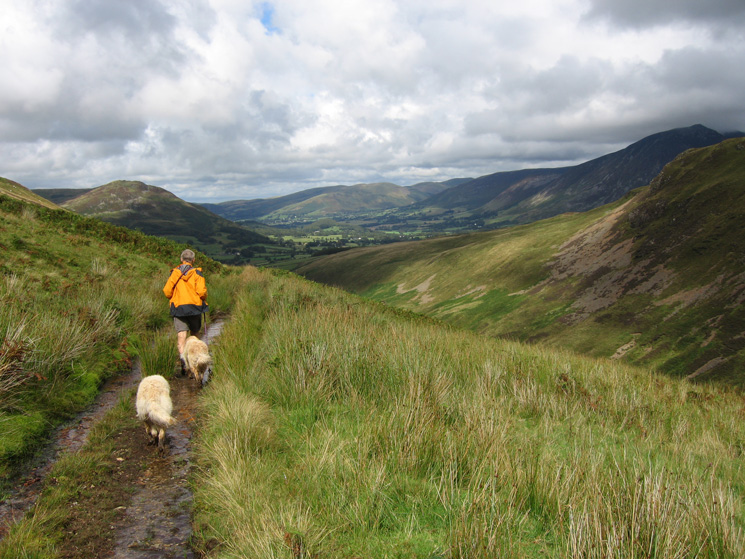
Heading along the track above Whiteoak Beck with the Vale of Lorton in the distance
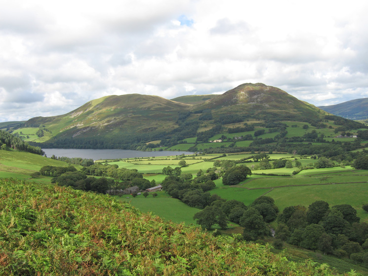
Darling Fell, Low Fell and Loweswater from above High Nook Farm
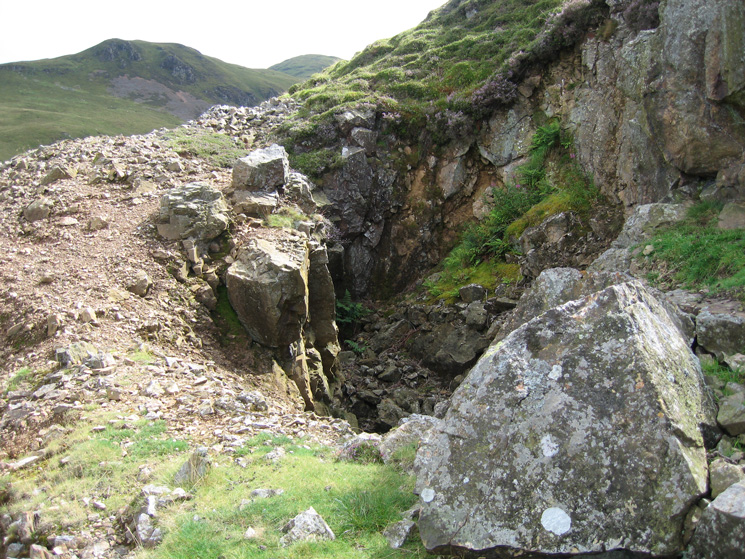
Part of the old mine workings (Whiteoak Lead Mine) above High Nook Farm
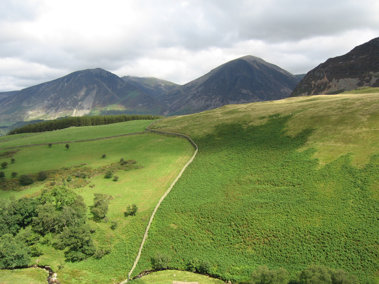
Whiteside and Grasmoor now cloud free seen over the north ridge of Hen Comb
The Whiteoak Lead Mine on the north east ridge of Gavel Fell
Loweswater, Darling Fell and Low Fell
Hopegill Head between Whiteside and Grasmoor with the north end of Mellbreak on the far right
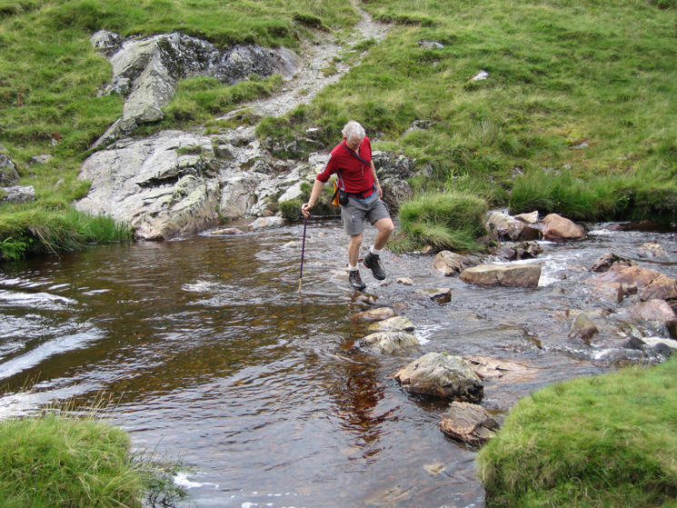
Crossing Mosedale Beck
Grasmoor from the track above the Kirkstile
Previous Walk: Newlands Hause to Buttermere (Sat 11 Aug 2007)
Next Walk: Walla Crag (Fri 17 Aug 2007)