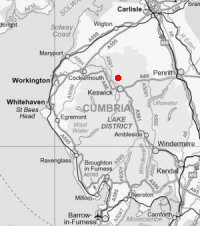
05 Skiddaw
Tue 15 May 2007
Route: High Side, nr Bassenthwaite village - northwest ridge - Randel Crag - Skiddaw - Carlside Tarn - Southerndale - High Side
Distance: 5.75 miles
Ascent: 2,635ft
Time: 3 hours 10 minutes
With: David Hall
Notes:
Sunny evening, blue sky and scattered cloud, cool breeze at the summit.
Everest the Easy Way ascent 5.
Halfway to Everest's summit!
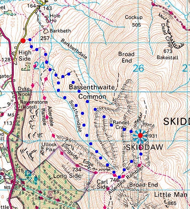
© Crown copyright. All rights reserved. Licence number AL100038401
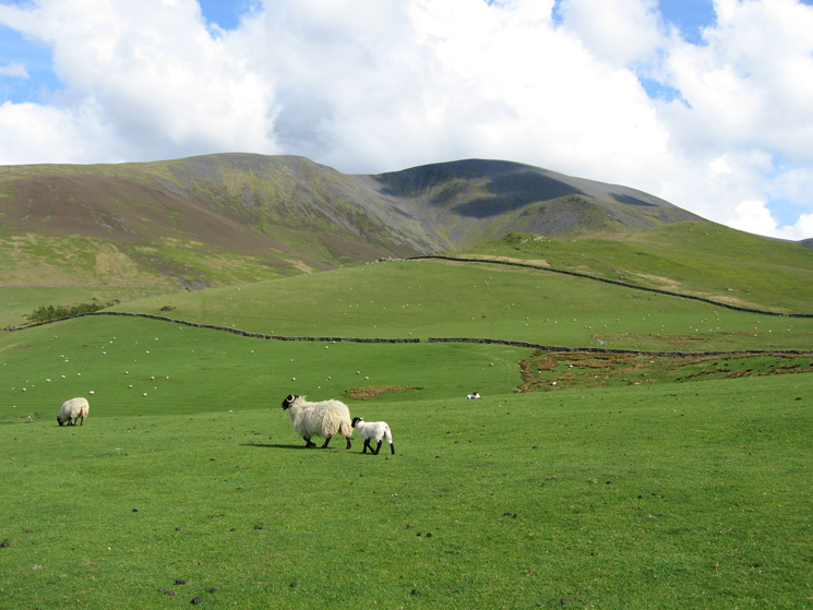
Skiddaw from the fields above High Side, our line of acent is by Randel Crag (just below the the right end of the shadow)
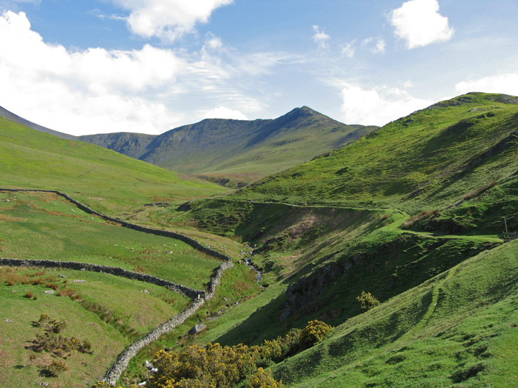
Carl Side, Long Side and Ullock Pike from the track in Southerndale below Watches
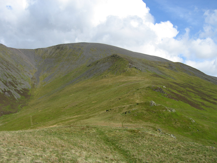
The ridge to Randel Crag and Skiddaw
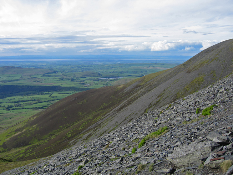
Looking back down Skiddaw's northwest ridge with Scotland on the far side of the Solway Firth
The path up by the side of Randel Crag
Scotland, the Solway Firth and Binsey from the top of Randel Crag
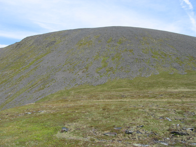
Skiddaw with Gibraltar Crag on the left just below the skyline from above Randel Crag
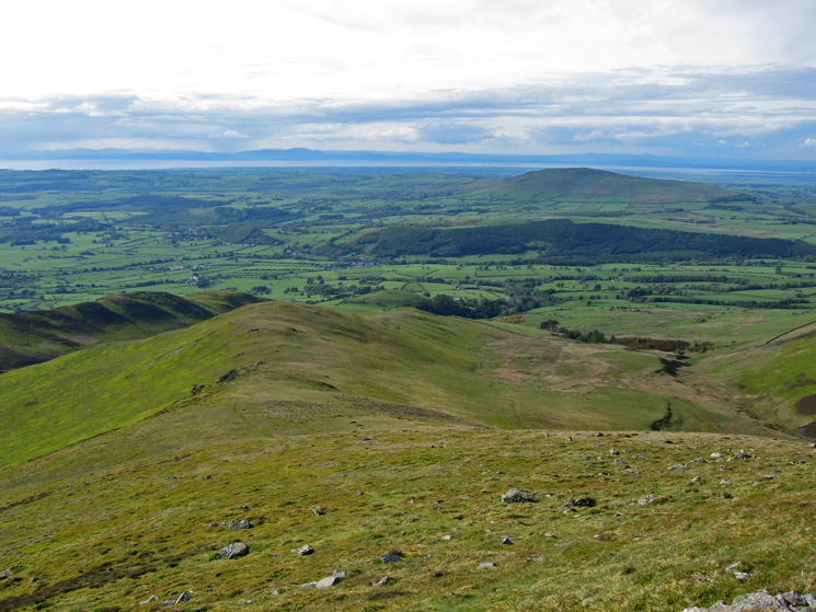
The view north from high up on Skiddaw's northwest ridge
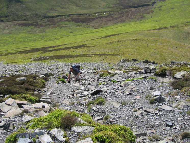
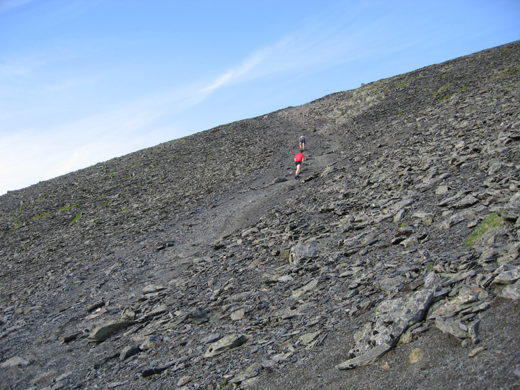
Looking back down the slope
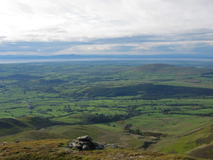
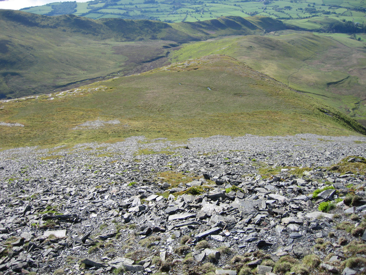
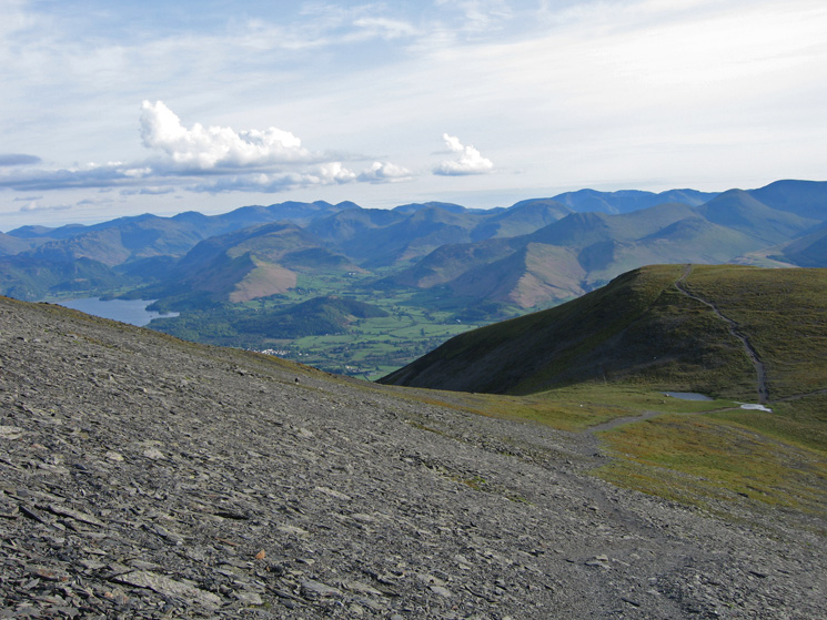
The view south from high up on Skiddaw's northwest ridge with the north western fells seen over Carl Side
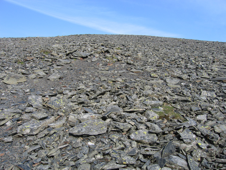
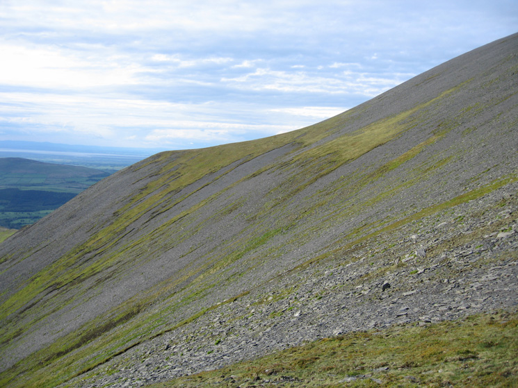
The top part of the slope, not so steep now
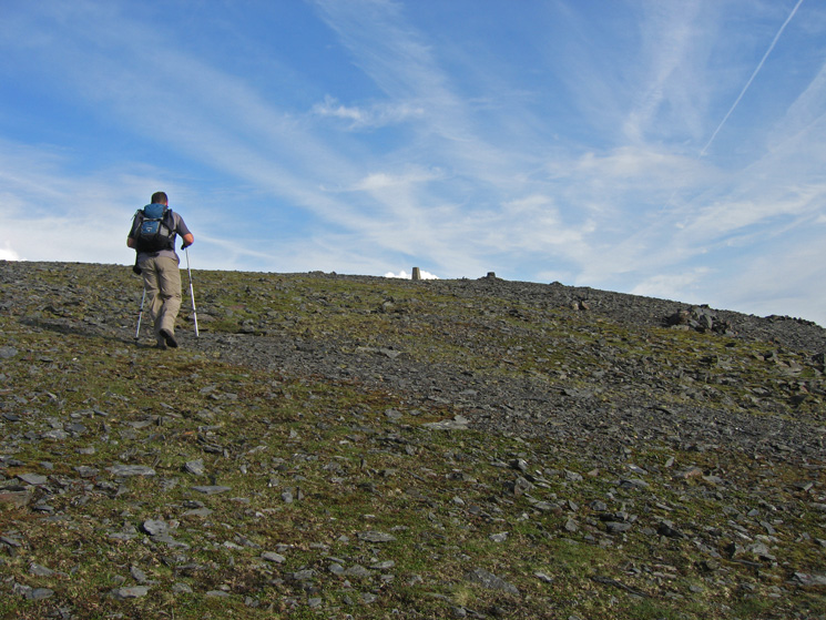
Approaching Skiddaw's summit
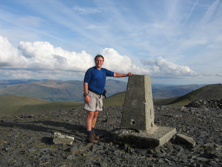
Skiddaw summit
Blencathra from Skiddaw's summit
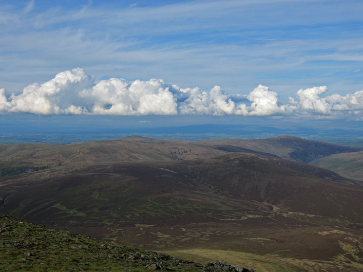
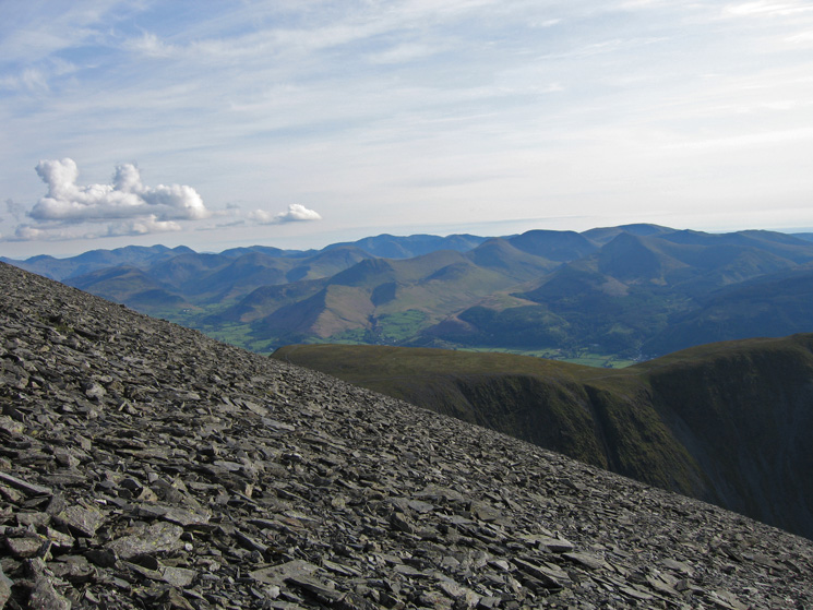
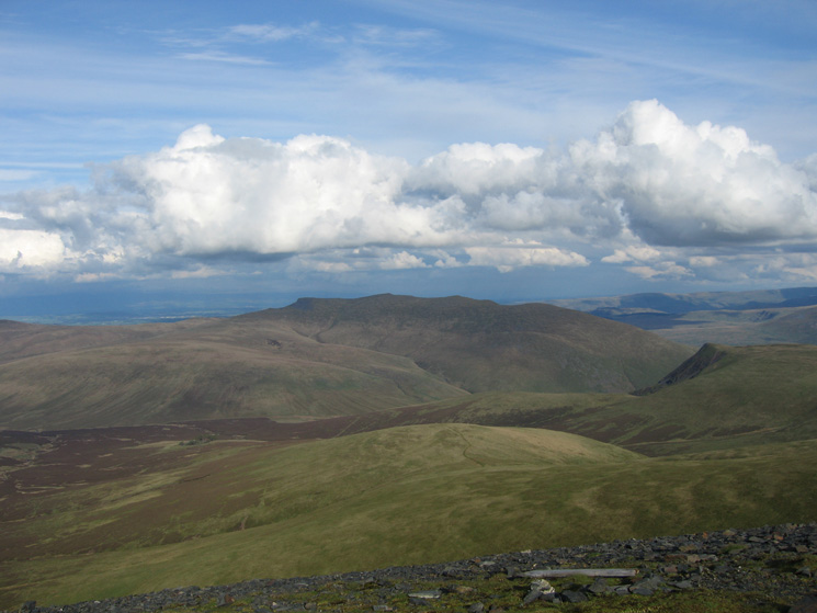
The northern Lakeland fells from Skiddaw's summit
Ullock Pike and the north end of Bassenthwaite Lake from Skiddaw
Looking back up the steep Carl Side to Skiddaw path
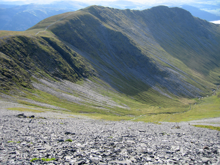
Long Side, Ullock Pike and Southerndale
The view south from near Carlside Tarn
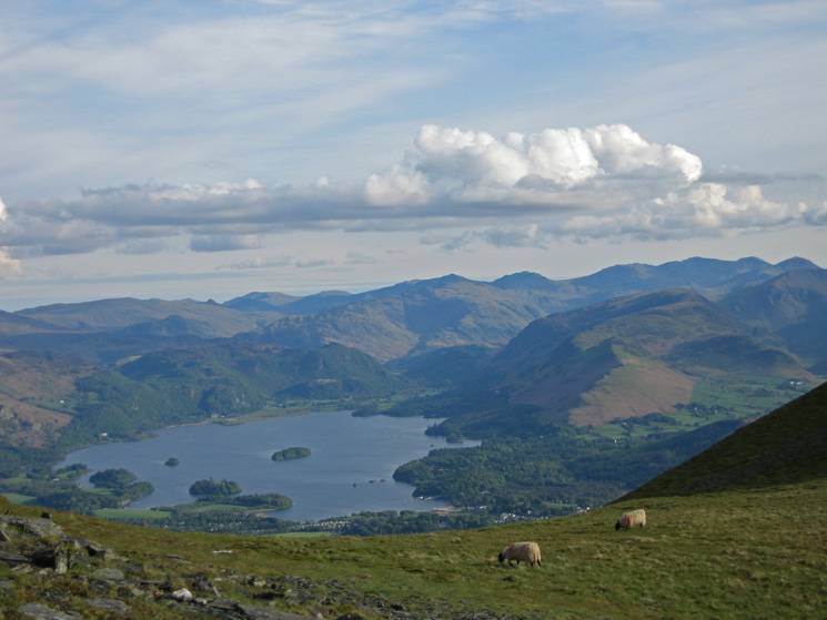
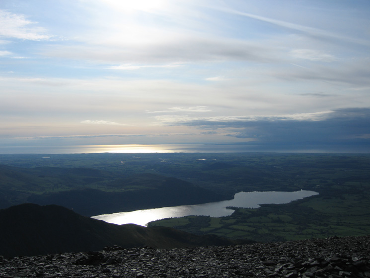
Derwent Water
Our line of ascent up Skiddaw's northwest ridge basically followed the skyline
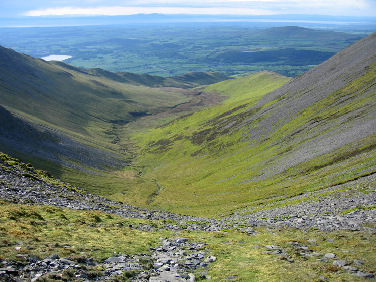
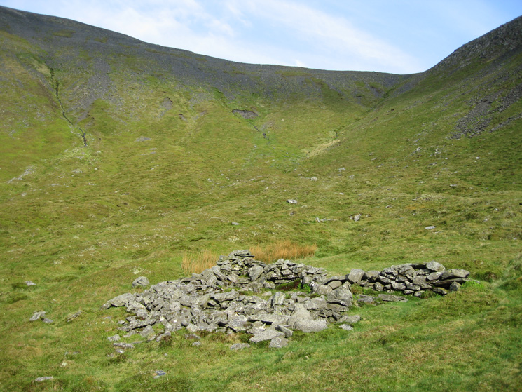
Southerndale
Looking back up to Carlside col from Southerndale
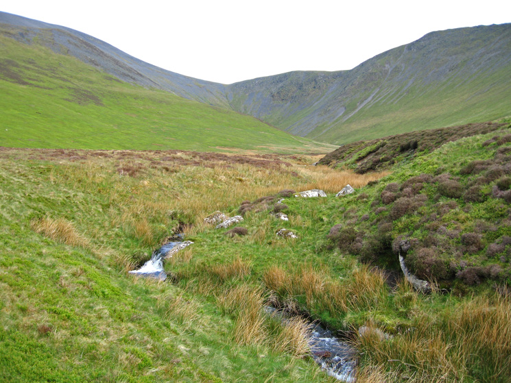
Looking back up Southerndale
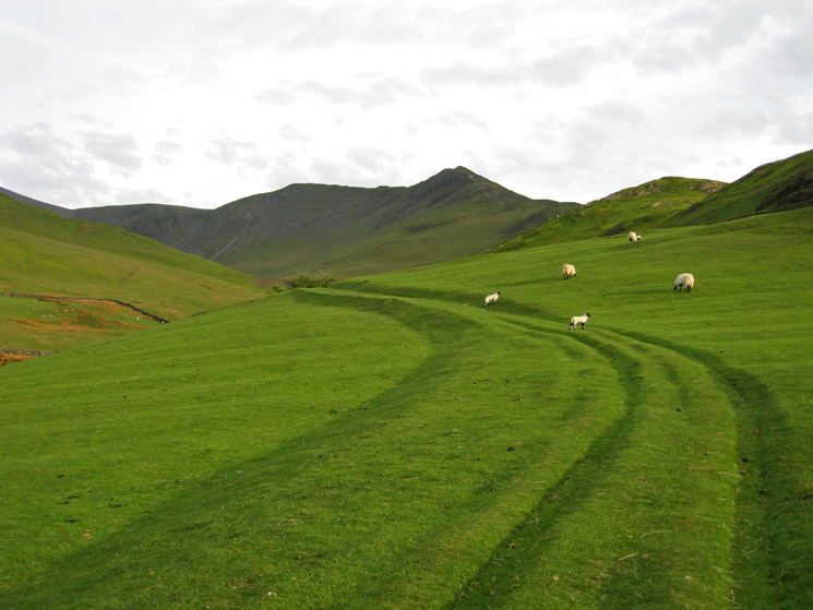
Carl Side, Long Side and Ullock Pike from the fields above High Side
Previous Walk: 04 Skiddaw (Mon 14 May 2007)
Next Walk: 06 Skiddaw (Wed 16 May 2007)