Ullscarf
Sun 8 Apr 2007
Route: Dobgill Bridge - Harrop Tarn - Wythburn Fells - Ullscarf - Standing Crag - Harrop Tarn - Dobgill Bridge
Distance: 5.50 miles
Ascent: 1,850ft
Time: 3 hours 45 minutes
With: David & Jennifer Hall and Anne
Notes:
Blue sky and sunshine but a cold wind
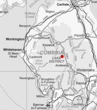
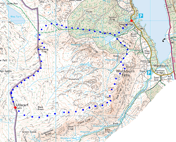
© Crown copyright. All rights reserved. Licence number AL100038401
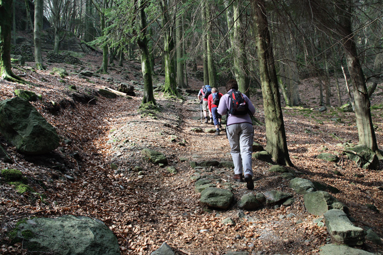
Heading up through the wood to Harrop Tarn
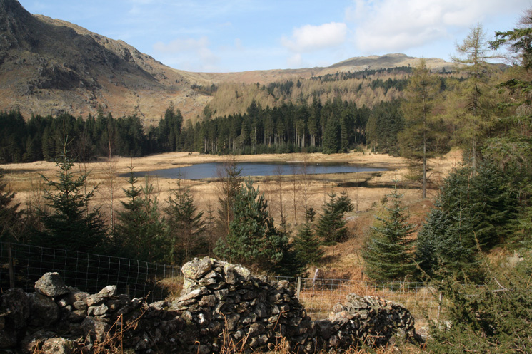
Harrop Tarn
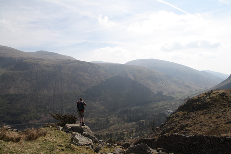
Photographer in action!
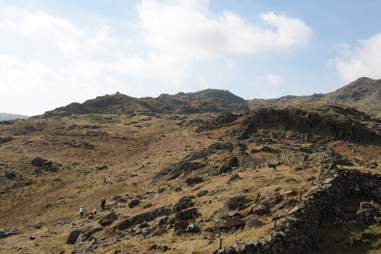
Our route headed for the cairn on the skyline (left of centre) marked as 'Beacon' on the OS map
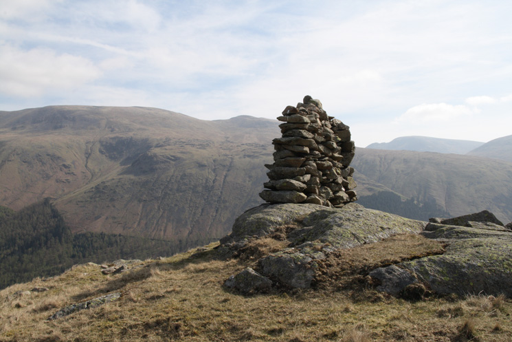
'Beacon', a very narrow cairn, in reality a short section of wall!
Heading up the edge above the Wythburn valley, marked as the Wythburn Fells on the map
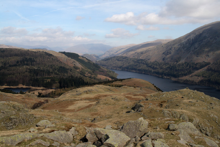
Looking back down on Harrop Tarn (far left), Beacon (far right) and Thirlmere
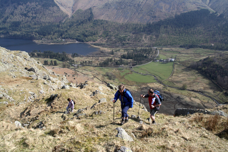
Ascending the edge with West Head Farm (Steel End) far below
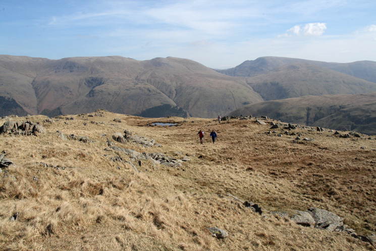
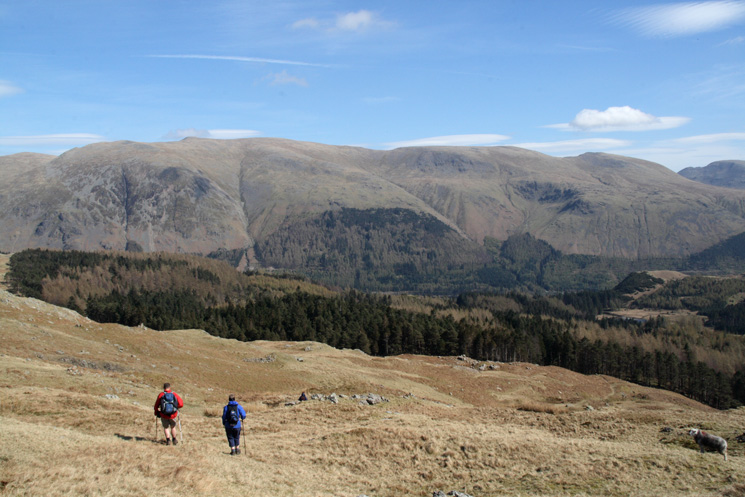
Looking back at our route across the Wythburn Fells with the Helvellyn ridge beyond
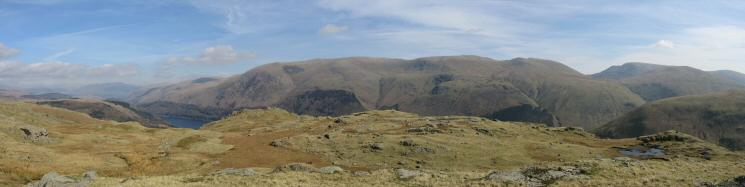
Helvellyn ridge panorama
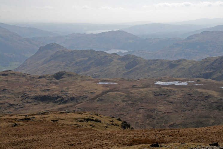
The view south over the Steel Fell tarns to Helm Crag, Grasmere, Loughrigg Fell and Windermere
Nethermost Pike, Dollywaggon Pike and Fairfield from near Black Knott
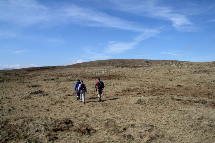
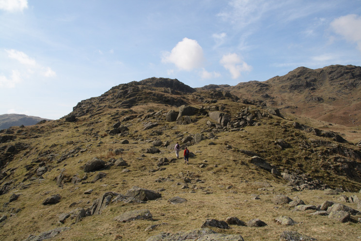
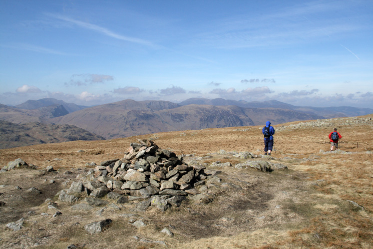
Heading for Ullscarf's summit
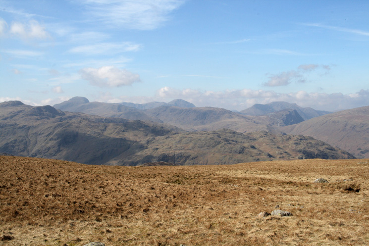
Great Gable, Pillar and the High Stile ridge on the skyline from Ullscarf's summit
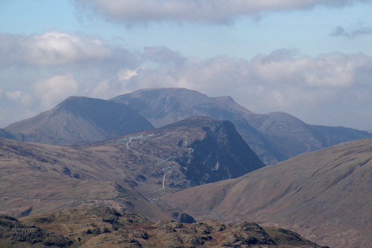
Zooming in on Honister Crag (Fleetwith Pike) with the High Stile ridge behind

360 Panorama from Ullscarf's summit
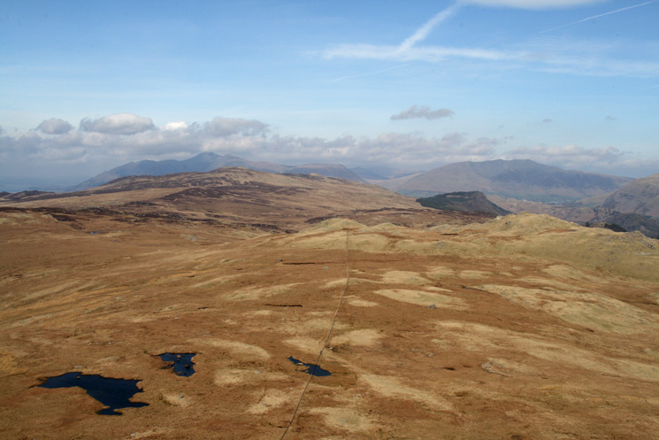
The north western fells as we leave Ullscarf's summit heading north
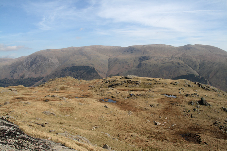
The view north to High Seat with Skiddaw and Blencathra in the distance from Standing Crag
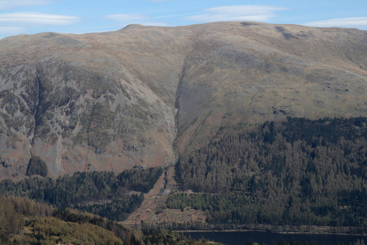
Mines Gill, Helvellyn
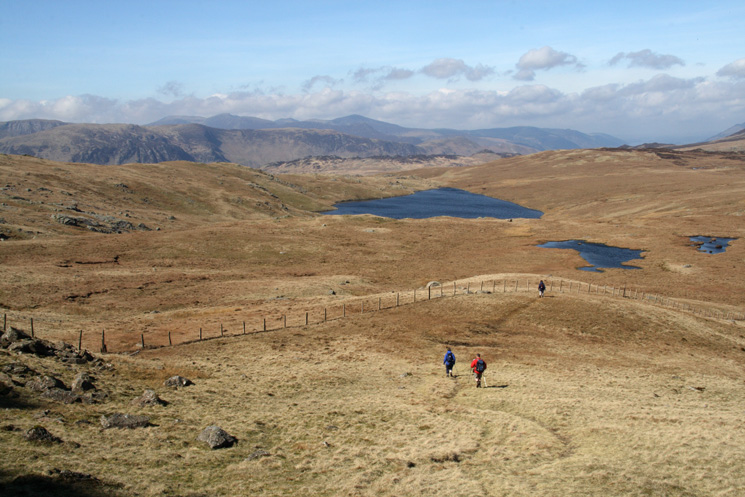
The biggest body of water is Blea Tarn (one of three so named in the Lake District)
Heading back down to Harrop Tarn with the Helvellyn ridge beyond
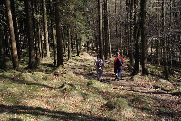
On the bridleway in the woods above Harrop Tarn
Previous Walk: Esk Pike from Brotherilkeld, Eskdale (Sat 7 Apr 2007)
Next Walk: High Rigg (Thu 12 Apr 2007)