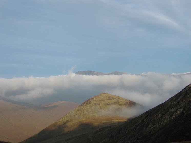
Grasmoor from Braithwaite
Sun 4 Feb 2007
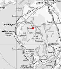
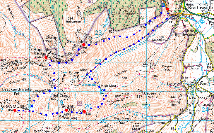
Route: Braithwaite - Kinn - Sleet How - Grisedale Pike - Hopegill Head - Sand Hill - Coledale Hause - Grasmoor - Eel Crag (Crag Hill) - Sail - Sail Pass - Force Crag Mine - Coledale - Braithwaite
Distance: 10.25 miles
Ascent: 4,100ft
Time: 5 hours 40 minutes
With: Anne
Notes:
Blue sky and sunshine once we climbed above the fog. Warm when out of the wind
© Crown copyright. All rights reserved. Licence number AL100038401
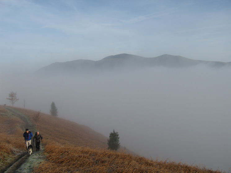
Climbing out of the cloud on to Kinn with Skiddaw behind
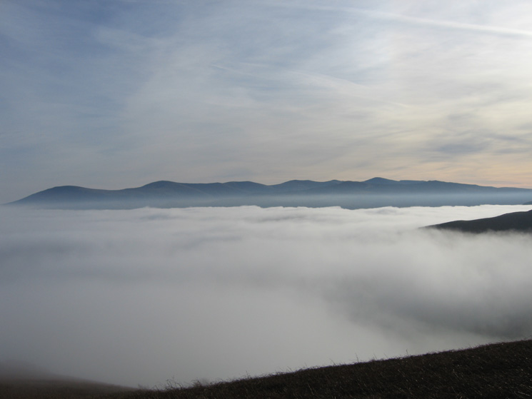
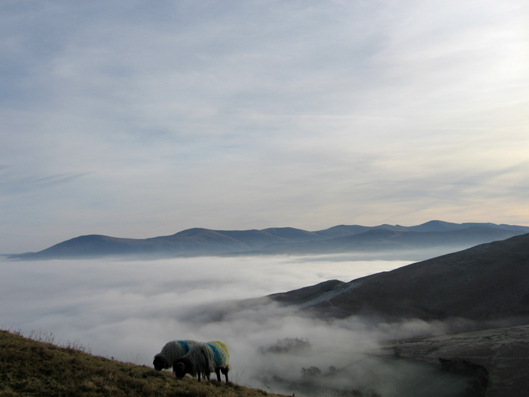
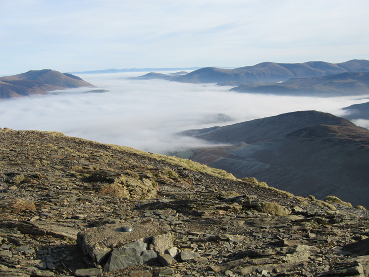
The Vale of Keswick filled with cloud and the Helvellyn range from Kinn
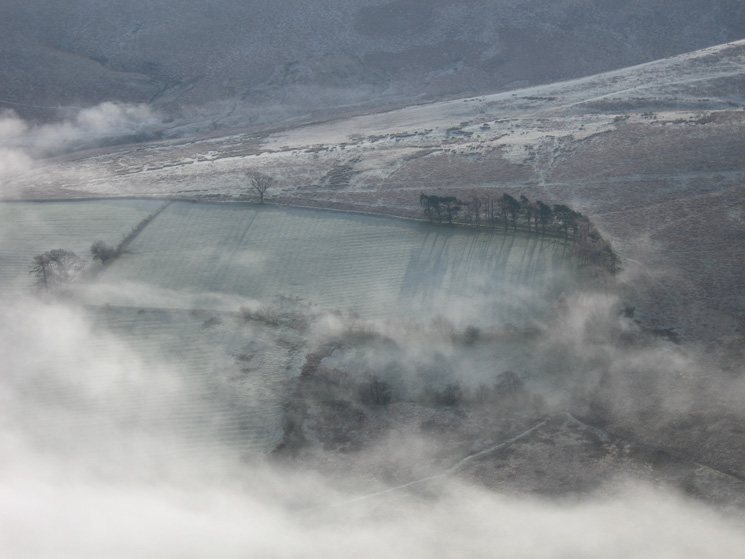
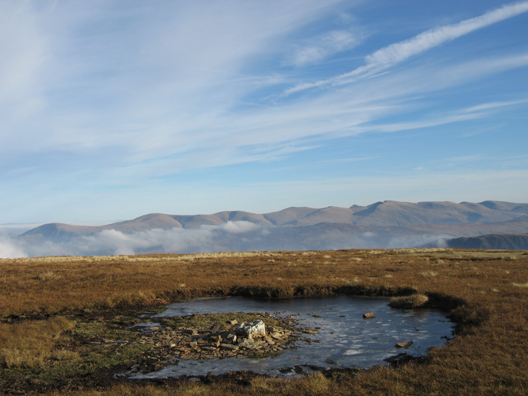
A frosty field at High Coledale
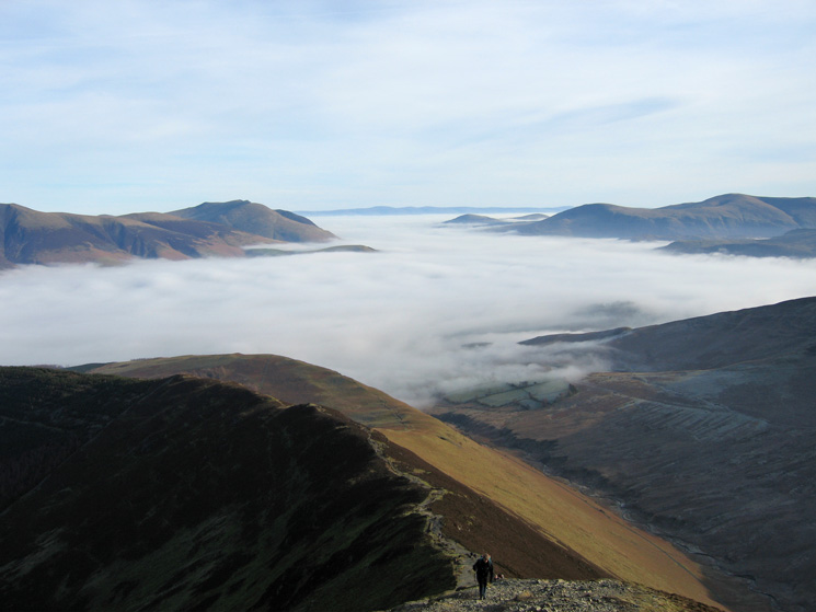
Looking over the Vale of Keswick and Derwent Water to the Helvellyn ridge
Ascending to Grisedale Pike's summit from Sleet How
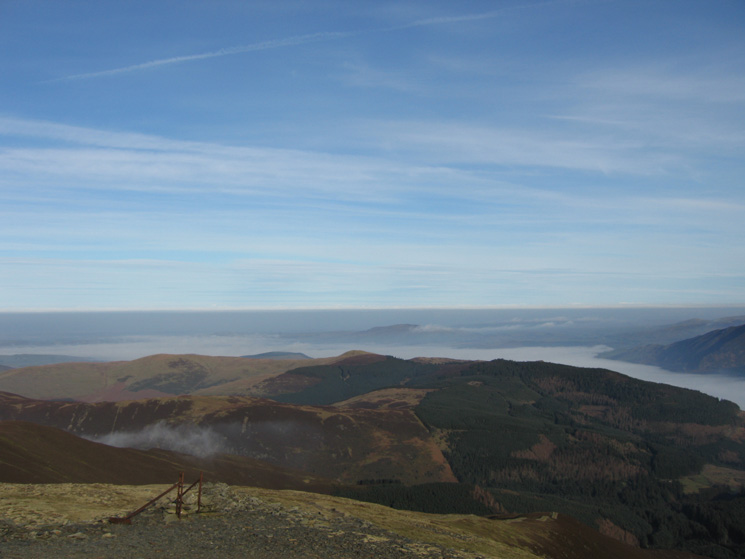
Lord's Seat and Whinlatter Forest with Binsey in the distance from Grisedale Pike's summit
The trig point on Grisedale Pike's summit
Sand Hill, Hopegill Head and Ladyside Pike from Grisedale Pike
Looking back to Grisedale Pike's summit from its south west top
Heading for Hopegill Head's summit with Ladyside Pike on the right
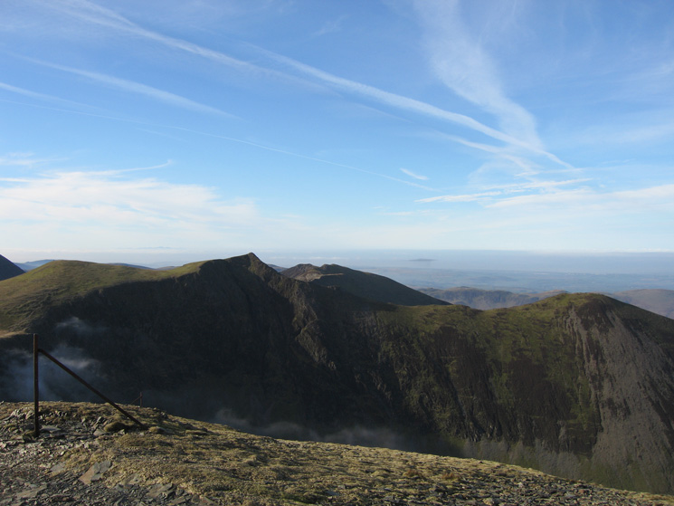
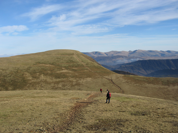
The ridge to Whiteside from Hopegill Head
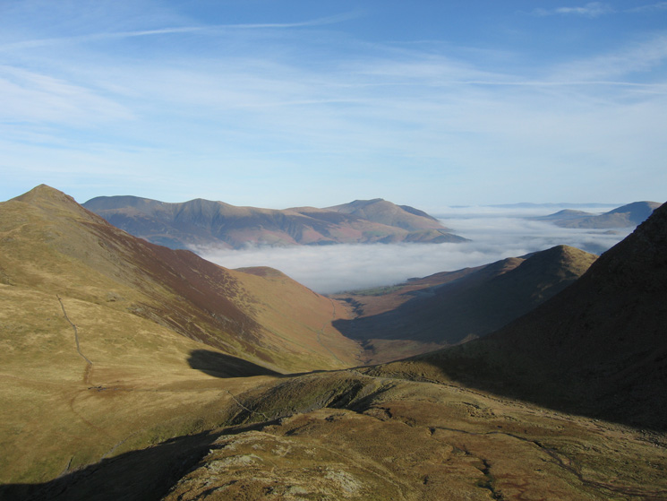
Coledale from our ascent of Grasmoor from Coledale Hause
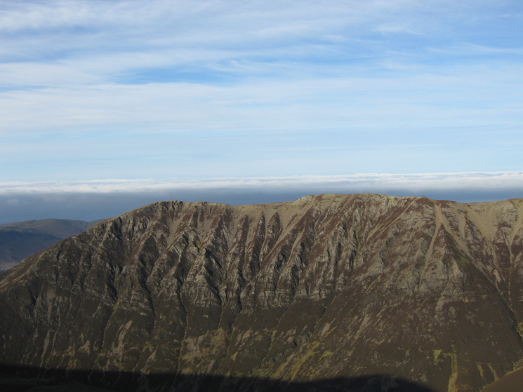
Gasgale Crags on the side of Whiteside
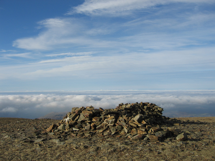
The summit shelter, Grasmoor
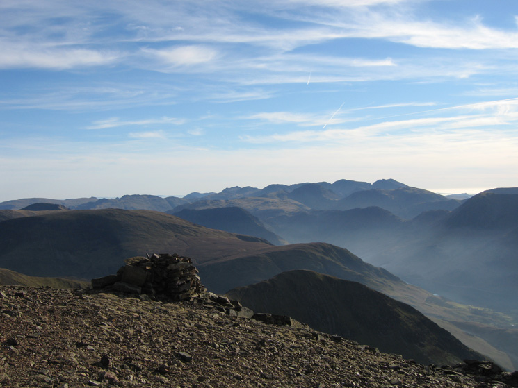
Looking towards the Scafells from Grasmoor's summit
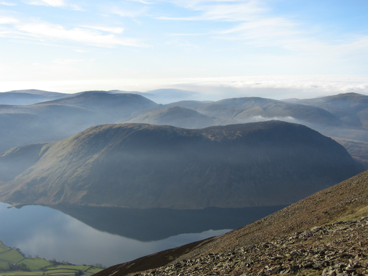
Mellbreak from Grasmoor's summit

360 Panorama from Grasmoor's summit
Eel Crag with the Helvellyn range in the distance from Grasmoor
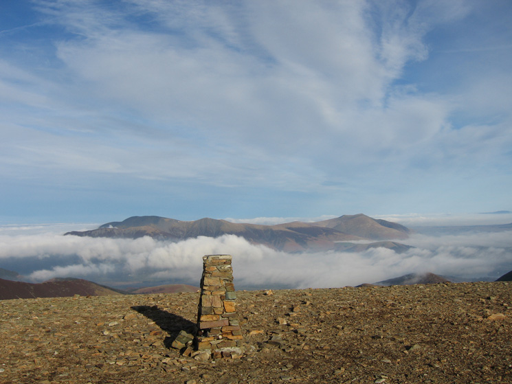
Skiddaw and Blencathra from Eel Crag (Crag Hill) summit
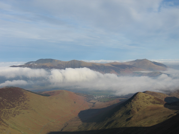
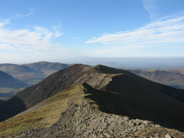
Coledale and the village of Braithwaite from Crag Hill
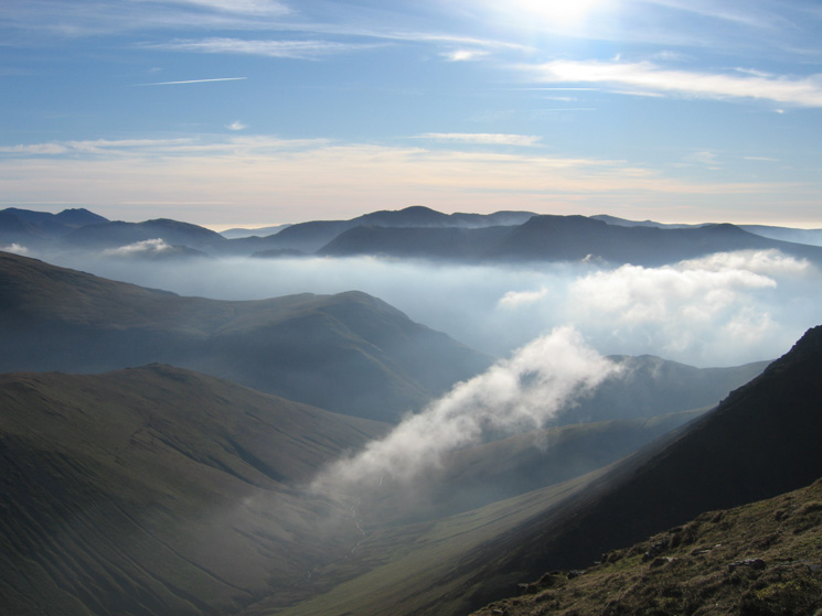
The valley of Sail Beck and the western fells from The Scar
The Helvellyn ridge from Sail's summit
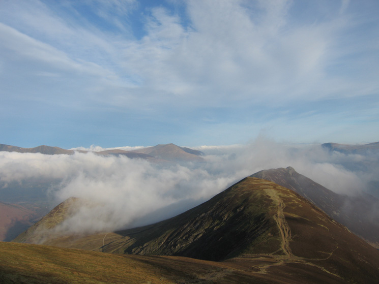
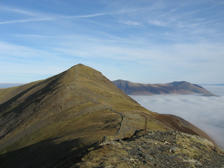
Scar Crags and Causey Pike from Sail
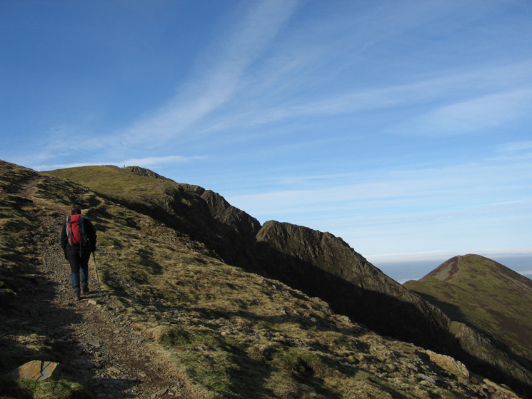
Outerside from near Sail Pass
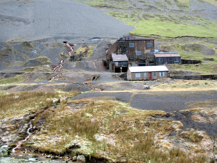
Force Crag Mine
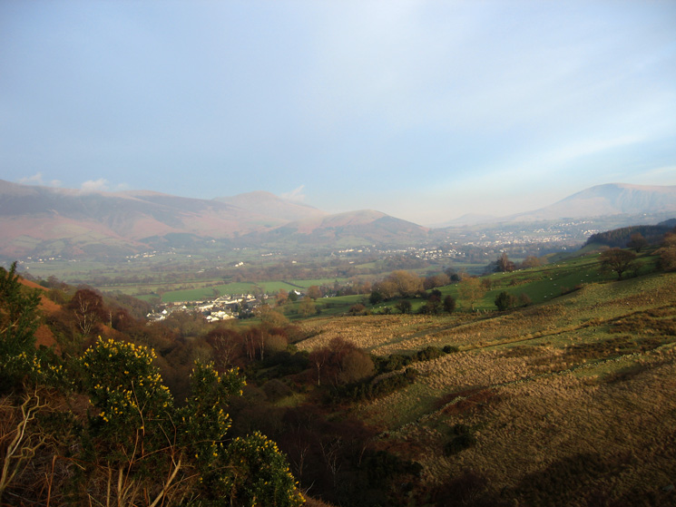
Braithwaite and Keswick from the Coledale track
Previous Walk: Coniston Fells (Sat 3 Feb 2007)
Next Walk: The Cogra Moss fells (Sat 10 Feb 2007)