Raven Crag and Great How
Sun 7 Jan 2007
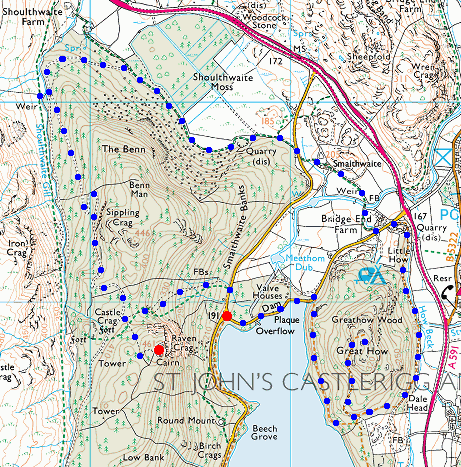
Route: Thirlmere Dam End - Raven Crag - Shoulthwaite Gill - Smaithwaite - Bridge End Farm - Great How - Thirlmere Dam End
Distance: 5.50 miles
Ascent: 1,600ft
Time: 2 hours 50 minutes
With: On Own
Notes:
It did not rain all the time, just most of the time! Still very mild for January
© Crown copyright. All rights reserved. Licence number AL100038401
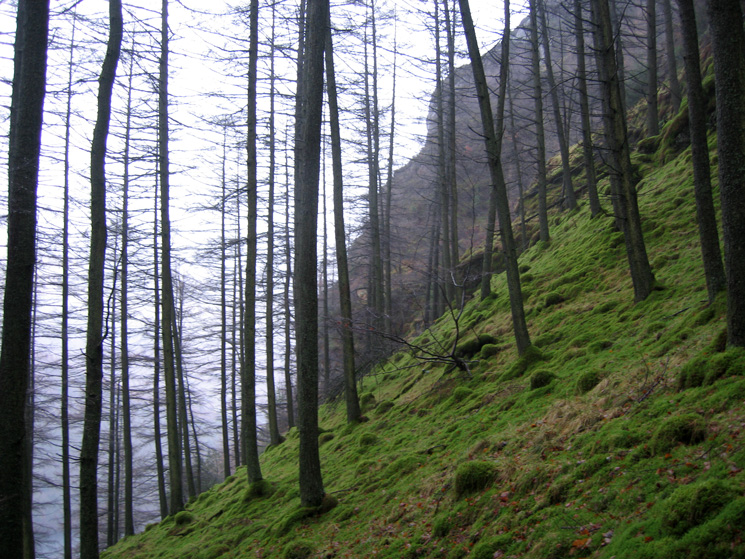
Looking through the trees to Raven Crag from my ascent route
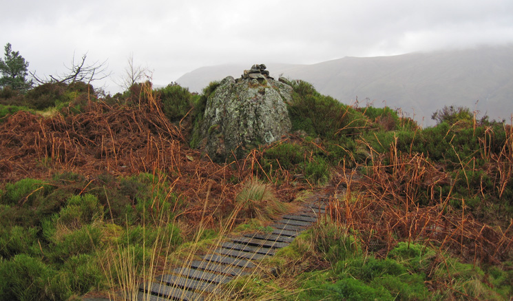
Raven Crag's summit
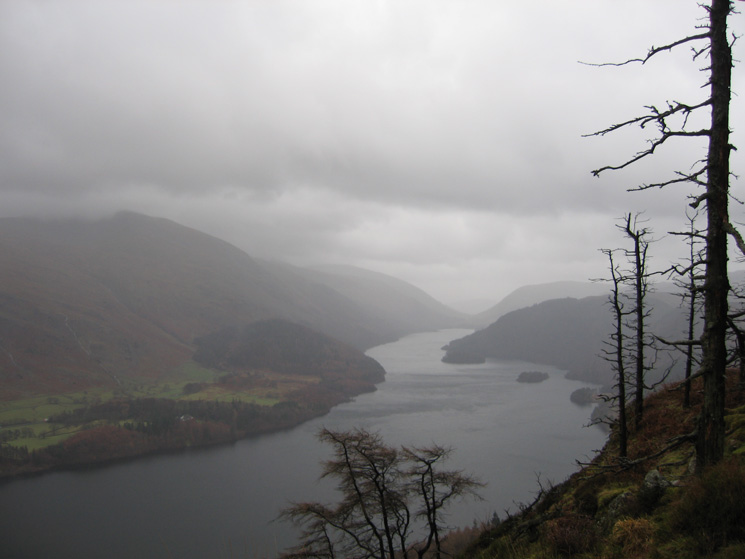
Thirlmere from Raven Crag's summit
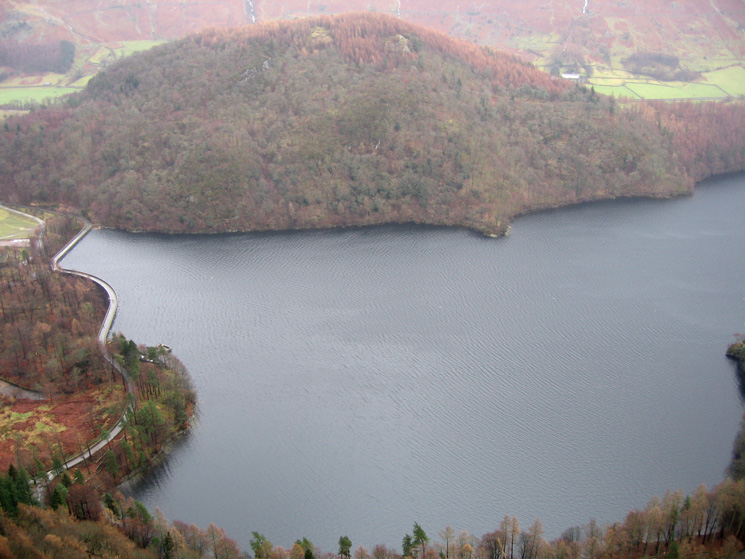
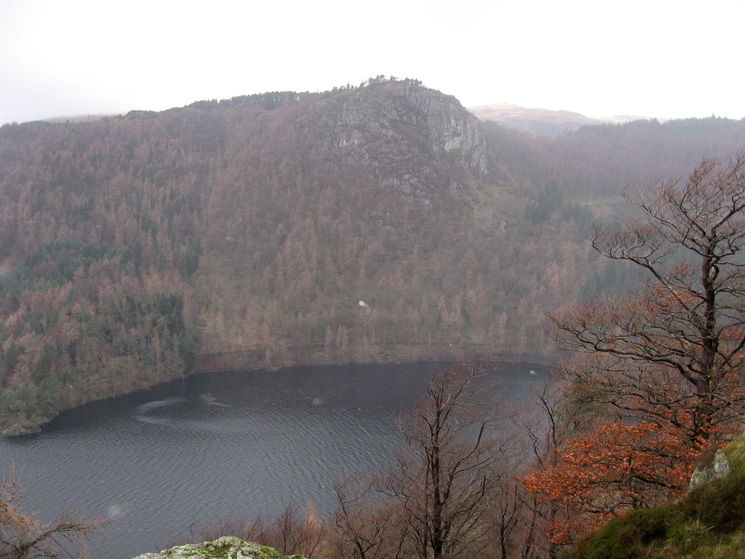
Thirlmere's dam and Great How from Raven Crag
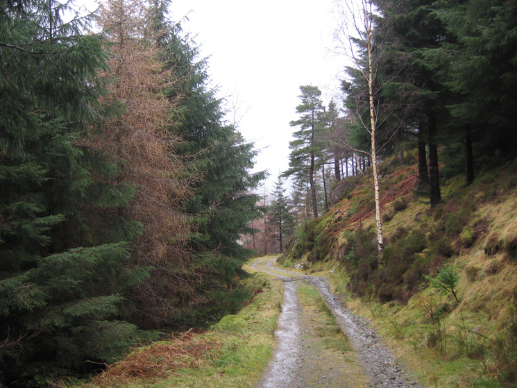
Forest track above Shoulthwaite Gill
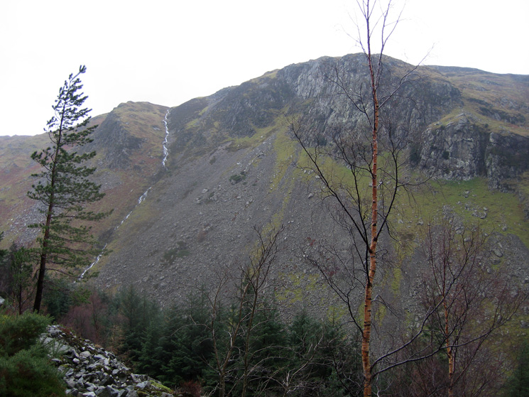
Looking across to Iron Crag
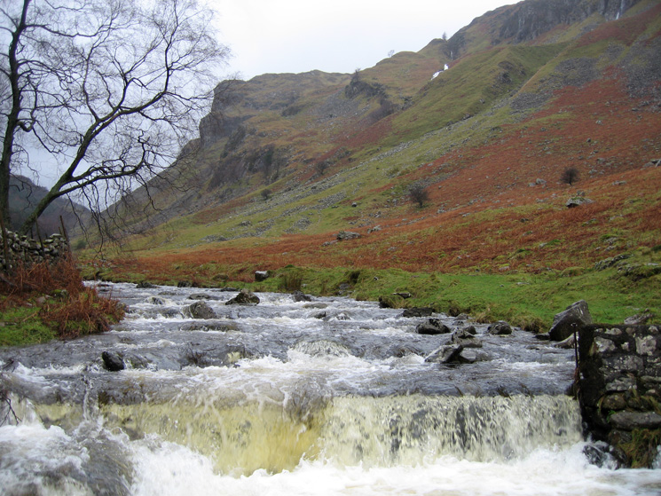
The weir, Shoulthwaite Gill
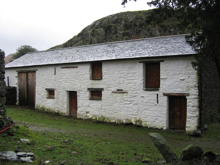
One of the buildings at Smaithwaite
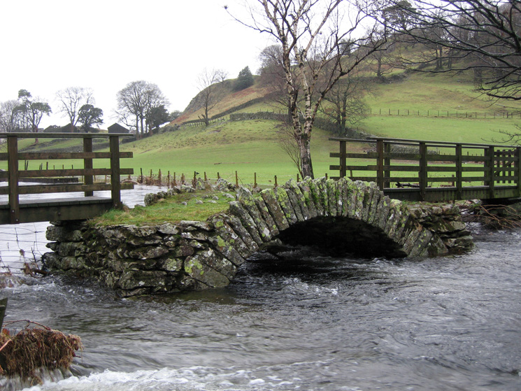
Old packhorse bridge across St John's Beck
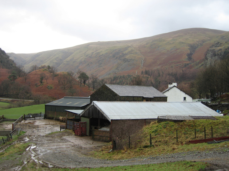
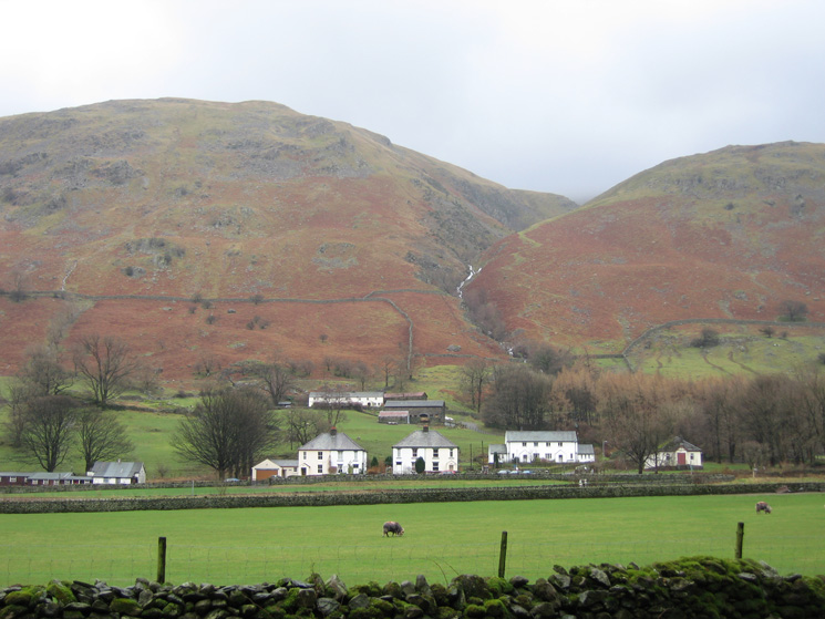
Bridge End Farm
Stanah with Stanah Gill behind. The Sticks Pass path can be seen on the right of the gill
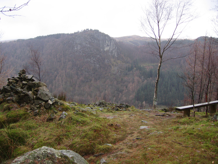
Raven Crag from Great How
Great How's summit
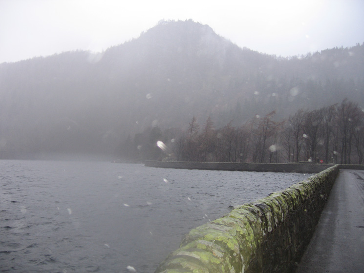
Raven Crag from Thirlmere Dam with the camera flash reflecting off the driving rain
Previous Walk: Howtown to Glenridding (Ullswater shoreline) (Fri 5 Jan 2007)
Next Walk: Swinside (Sat 13 Jan 2007)