Blencathra and Mungrisdale Common
Tue 26 Dec 2006
Route: Blencathra Centre, Threlkeld - Blease Fell - Knowe Crags - Gategill Fell Top - Blencathra - Atkinson Pike - Mungrisdale Common - Glenderterra - Blencathra Centre
Distance: 6.75 miles
Ascent: 2,050ft
Time: 3 hours 30 minutes
With: Anne
Notes:
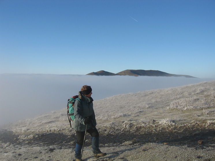
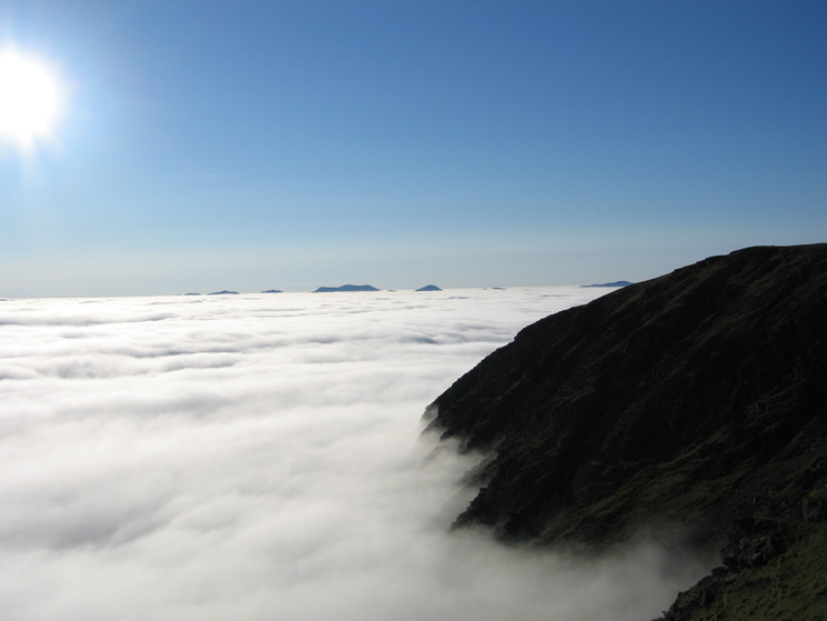
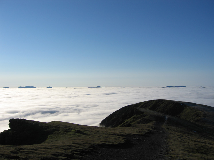
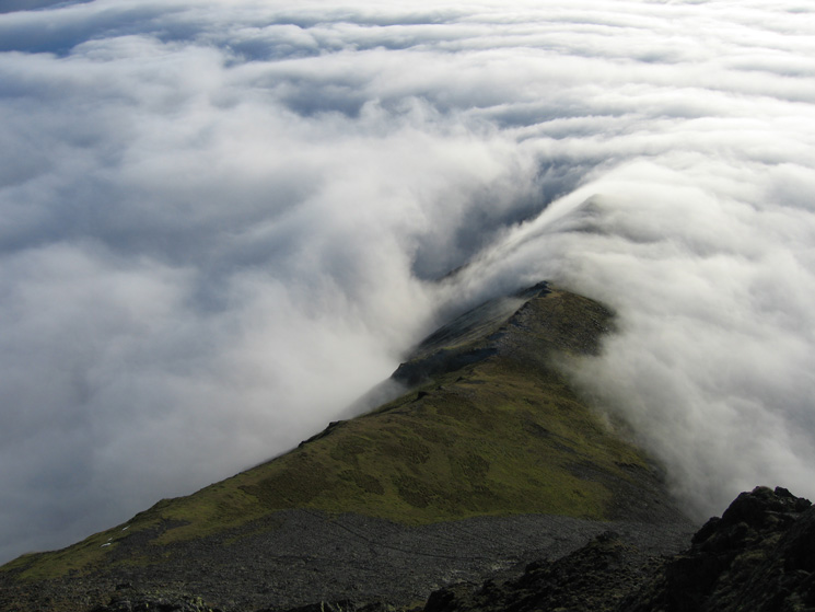
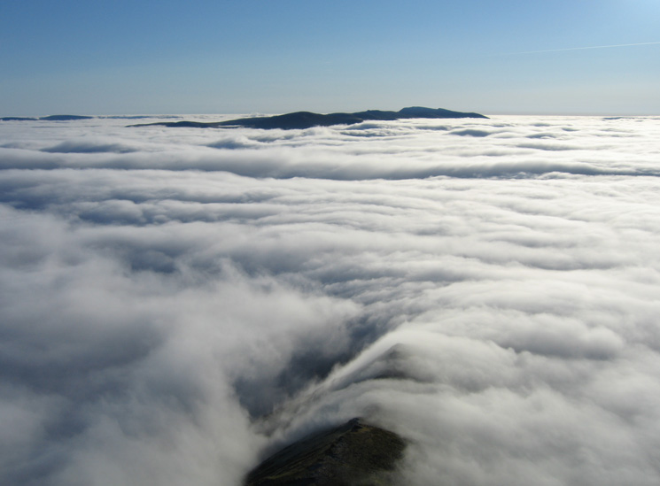
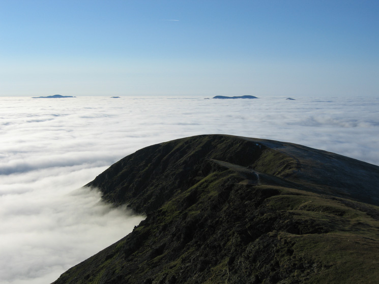
A fourth temperature inversion day in a row. The top of the cloud was at approximately 2,400ft with blue sky and sunshine above.
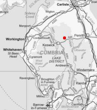

© Crown copyright. All rights reserved. Licence number AL100038401
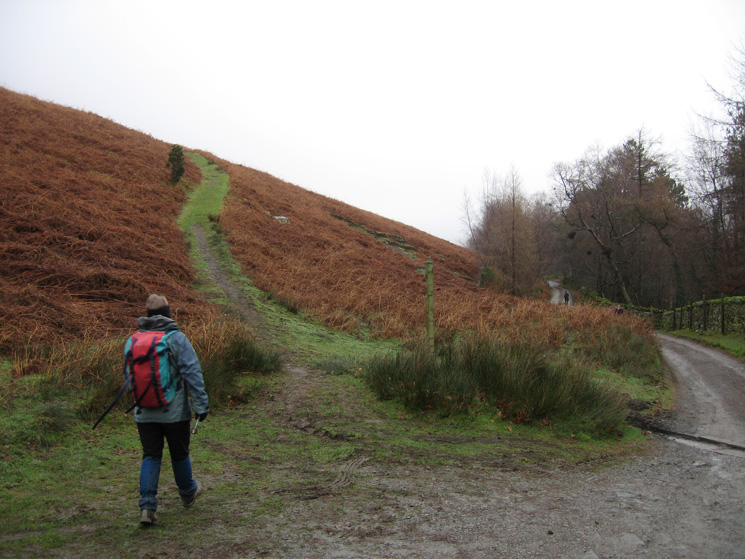
Leaving the car park next to the Blencathra Centre
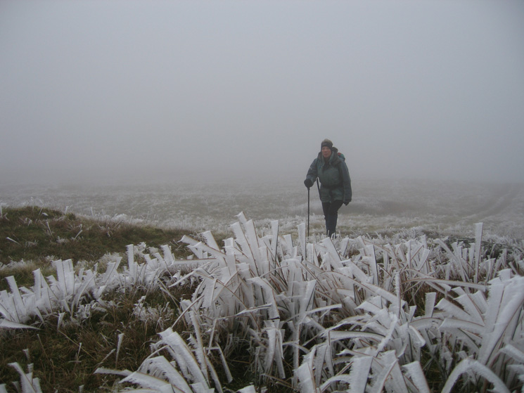
A heavy hoarfrost on the ascent of Blease Fell
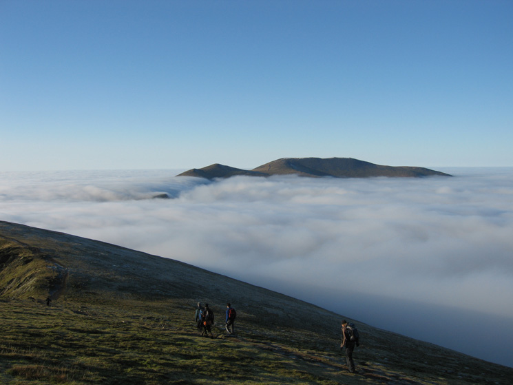
Skiddaw as we break out of the cloud
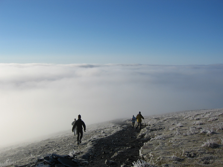
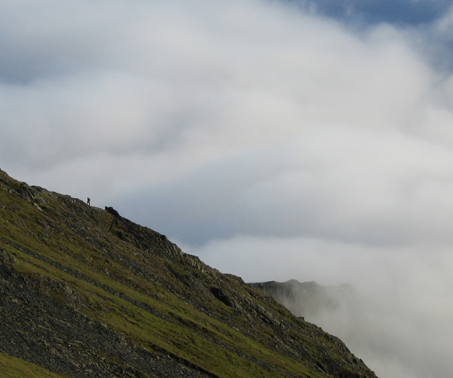
Walkers heading down Blease Fell

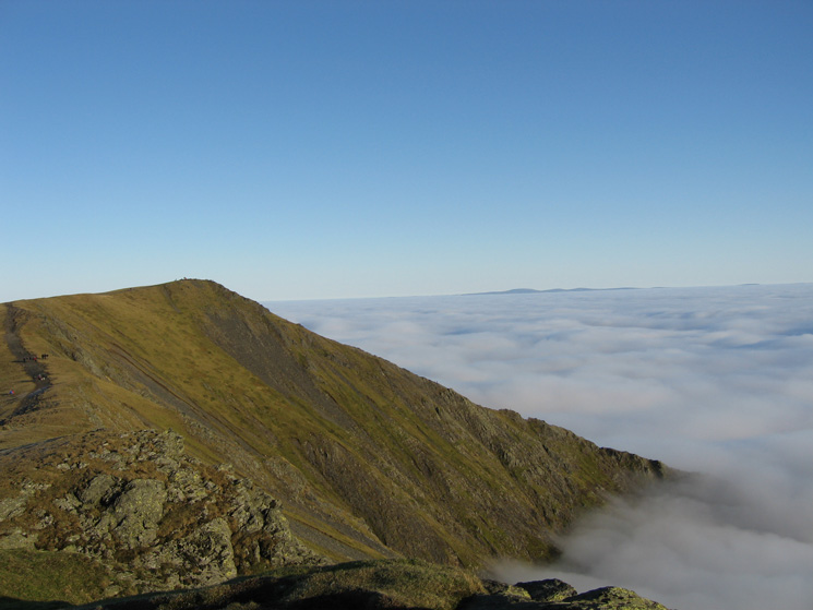
The Helvellyn ridge from Blease Fell
Gategill Fell Top from Knowe Crags
Knowe Crags
Skiddaw from Gategill Fell Top
Knowe Crags from Gategill Fell Top
Gategill Fell
The Helvellyn ridge from Gategill Fell Top
Knowe Crags from Gatesgill Fell Top
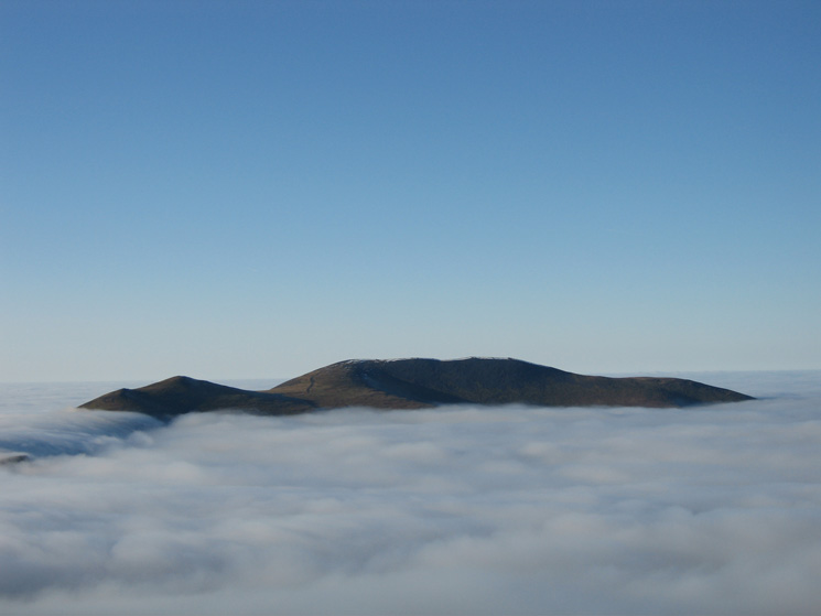
Skiddaw Little Man and Skiddaw
Hallsfell Top, Blencathra's summit

Looking back to Gategill Fell Top
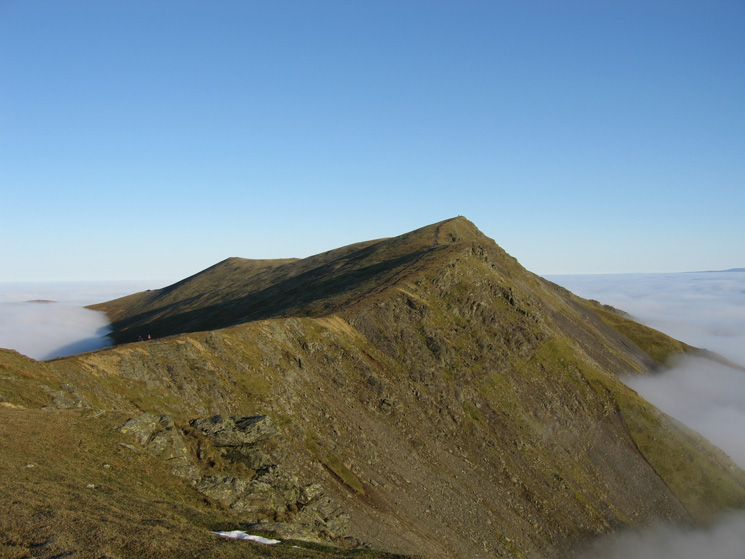
Hall's Fell ridge

Gategill Fell
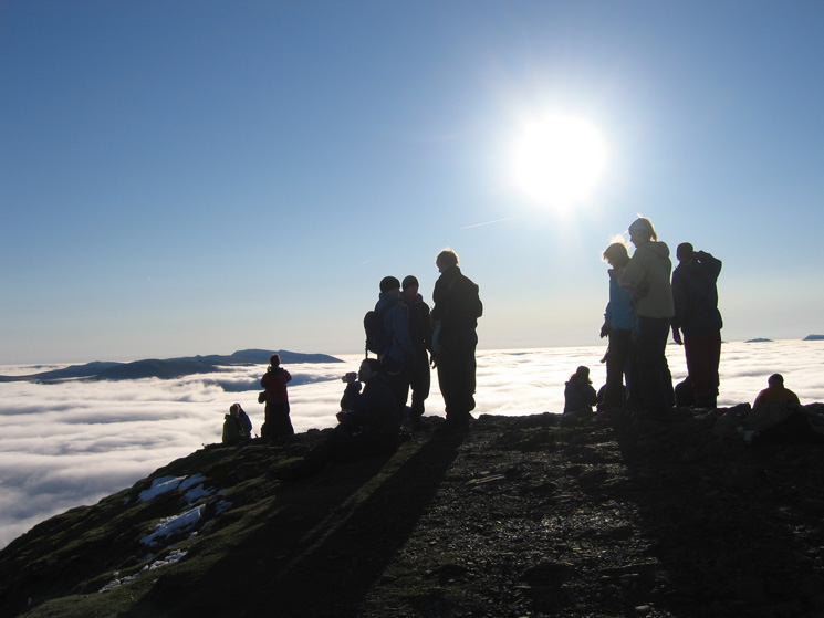
Blencathra's summit
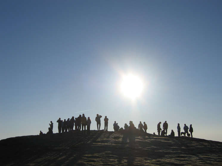
Blencathra's summit

Scales Fell from Blencathra's summit with the North Pennines in the distance
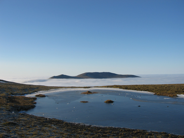
Skiddaw from Blencathra's summit tarn
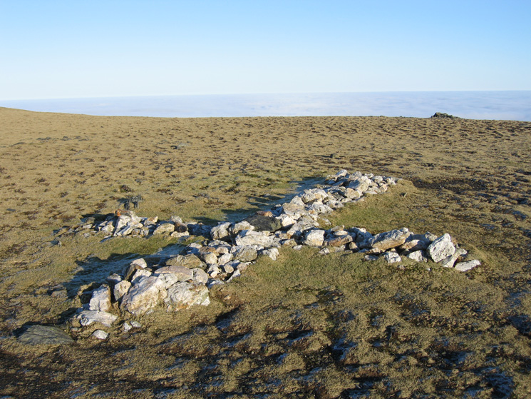
The white cross in the saddle between Hallsfell Top and Atkinson Pike

Mungrisdale Common is somewhere down there
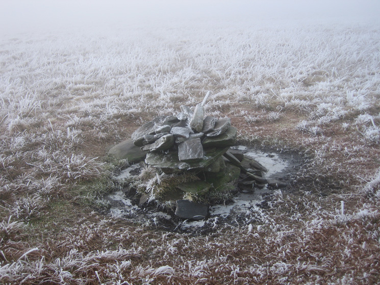
The cairn at Mungrisdale Common's 'summit'
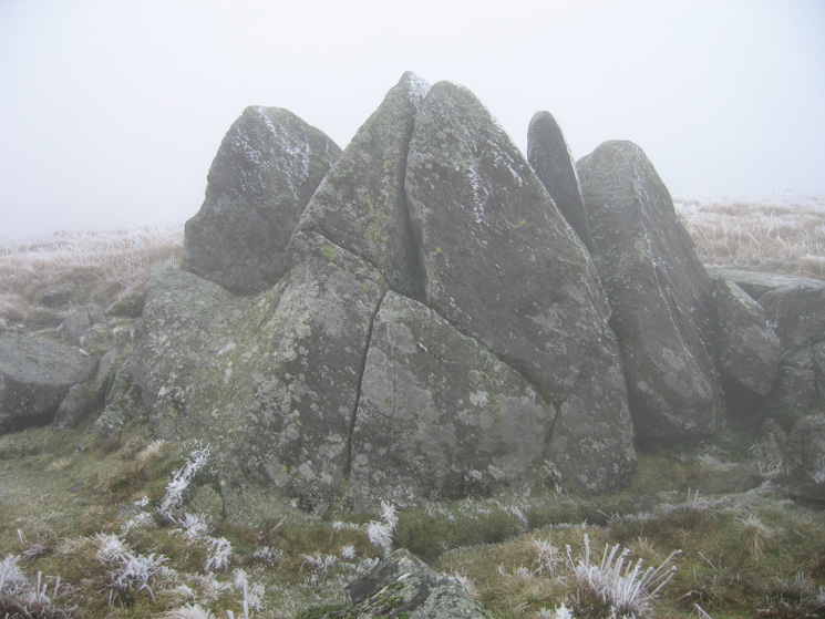
Some map and compass work got us to the Cloven Stone

The slate slabs bridge across Roughten Gill
Previous Walk: Helvellyn (Mon 25 Dec 2006)
Next Walk: Catbells (Thu 28 Dec 2006)