A Mosedale Round from Swindale
Sat 12 Aug 2006
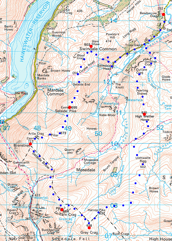
Route: Swindale - Truss Gap - Swindale Head - Hare Shaw - Selside Pike - High Howes - Branstree Tarn - Branstree - Tarn Crag - Grey Crag - Harrop Pike - Ulthwaite Rigg - High Wether Howe - Fewling Stones - Truss Gap - Swindale
Distance: 13.25 miles
Ascent: 2,950ft
Time: 6 hours
With: David Hall
Notes:
Overcast with sunny intervals, a cool strong wind at times
© Crown copyright. All rights reserved. Licence number AL100038401
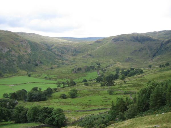
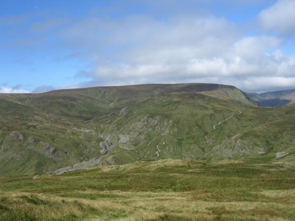
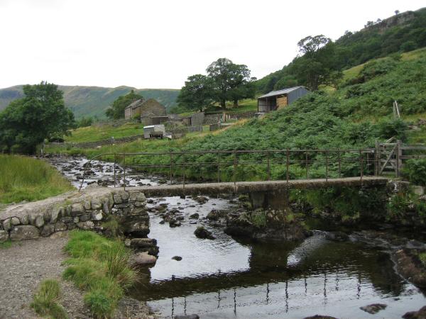
The head of Swindale
Looking towards High Street (centre with top in cloud) from Hare Shaw's summit
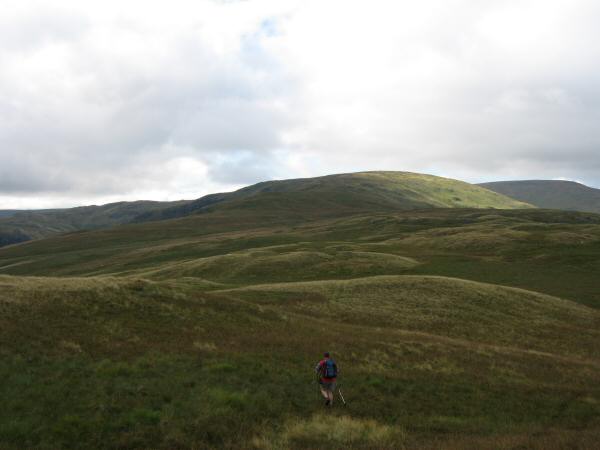
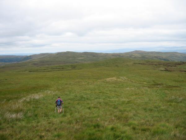
Leaving Hare Shaw's summit for Selside Pike
High Street with Harter Fell on the far left and Kidsty Pike on the far right
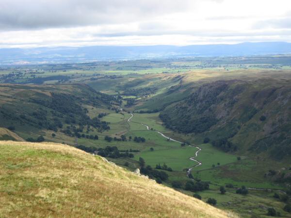
Looking down into Swindale from our ascent of Selside Pike with the North Pennines in the distance
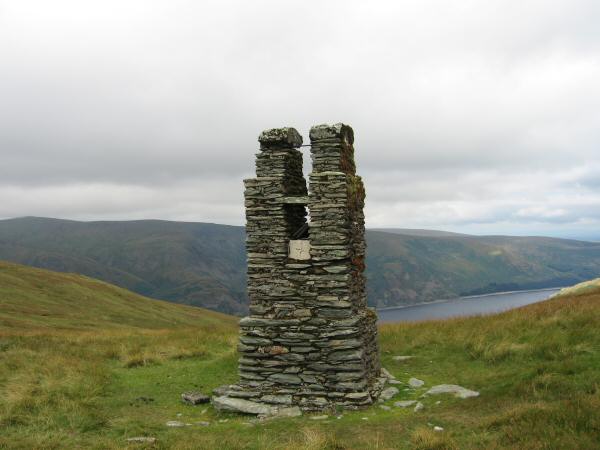
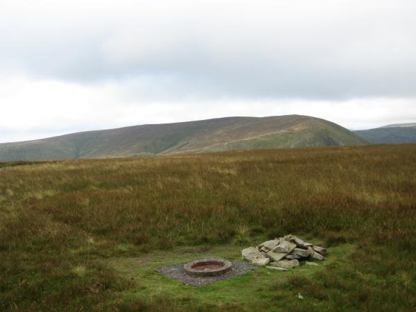
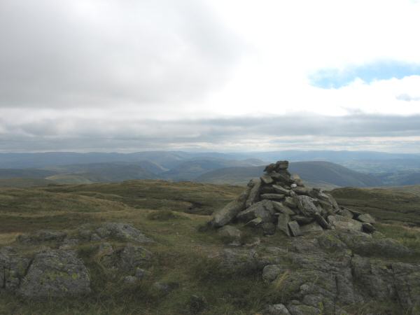
The survey post on Branstree and a glimpse of Haweswater
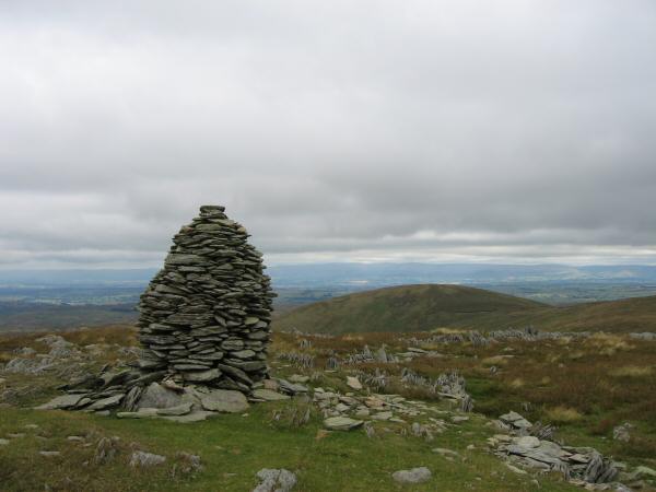
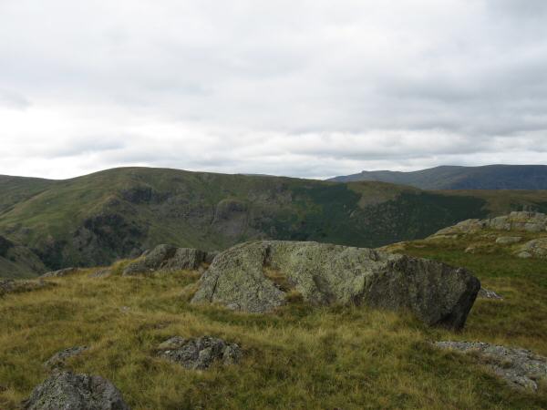
Looking back to Selside Pike from the larger of the two cairns on Artle Crag
Harter Fell from Branstree's summit
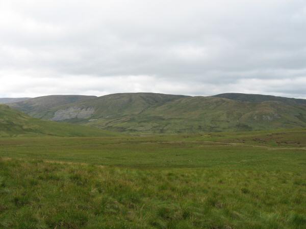
Goat Scar and upper Longsleddale from Selside Brow
The remote Mosedale Cottage
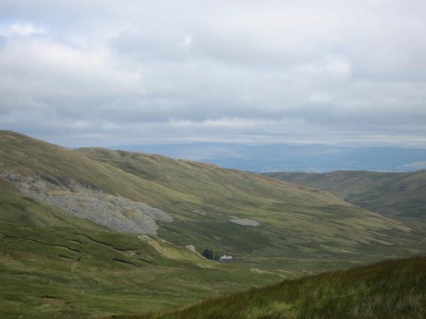
Harter Fell, Wrengill Quarry and the Gatescarth Pass track from our ascent of Tarn crag
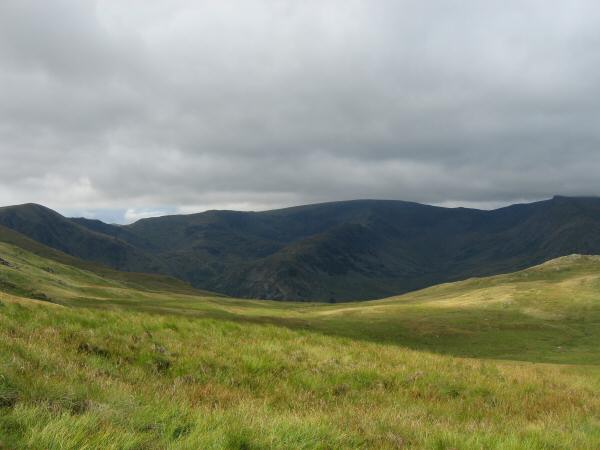
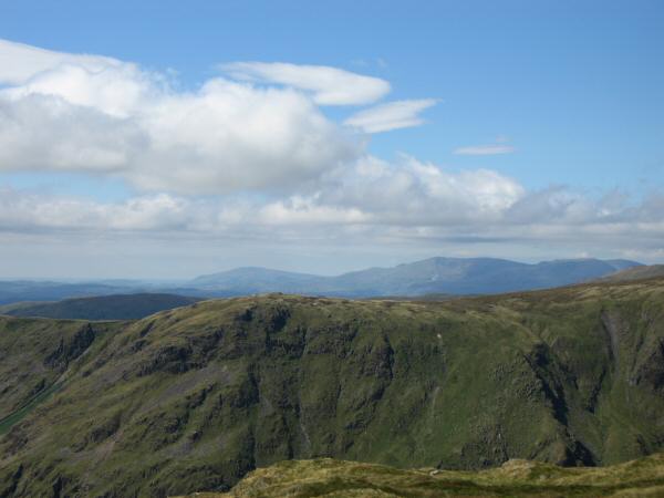
Looking back to Branstree from Tarn Crag
Kentmere Pike, Harter Fell and Branstree from Tarn Crag
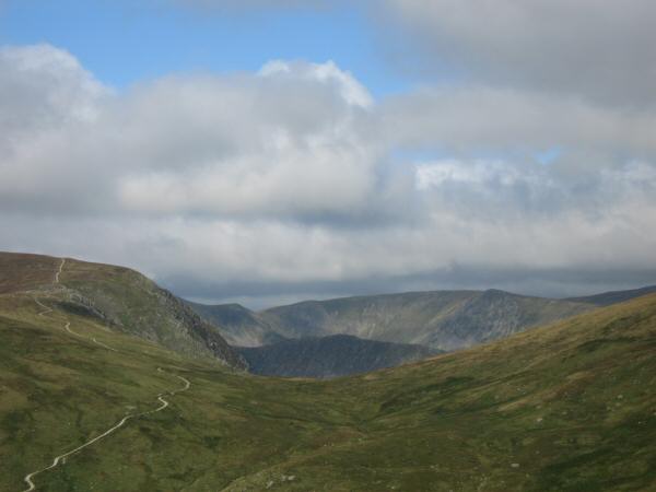
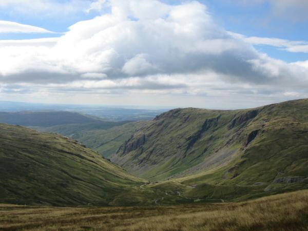
Gatescarth Pass
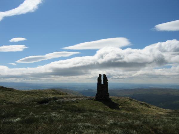
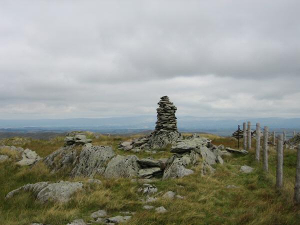
The pillar near Tarn Crag's summit cairn
Looking over Goat Scar to Black Combe and the Coniston Fells from Tarn Crag's summit
Tarn Crag seen across Greycrag Tarn
The view southeast towards the Howgill Fells from Grey Crag's summit
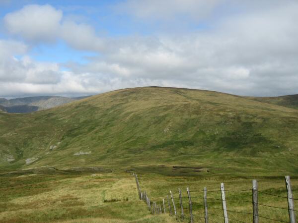
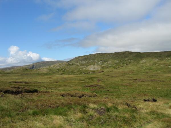
Harrop Pike
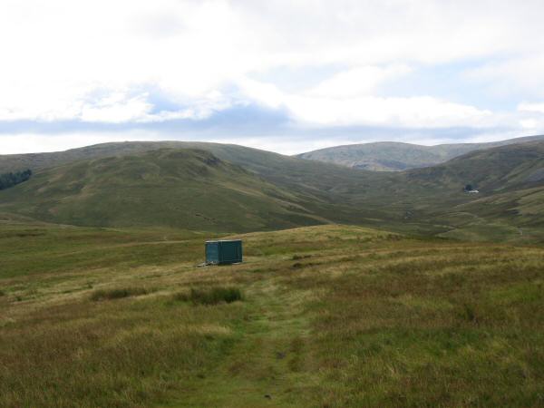
Heading for Ulthwaite Rigg with High Wether How and Seat Robert on the skyline
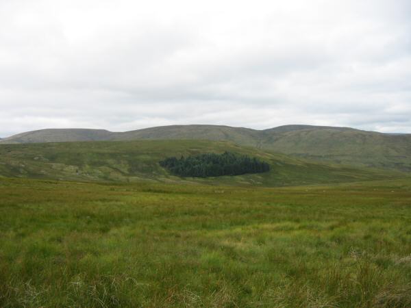
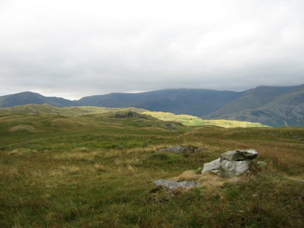
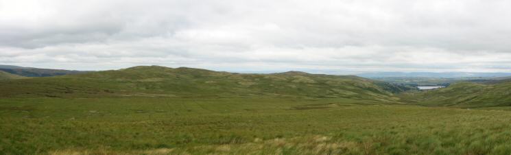
Looking over Brunt Tongue to Branstree, High Howes and Selside Pike
Branstree, High Howes and Howes with Selside Pike behind from the middle of nowhere
High Wether How, Seat Robert and Wet Sleddale Reservoir from Ulthwaite Rigg's summit
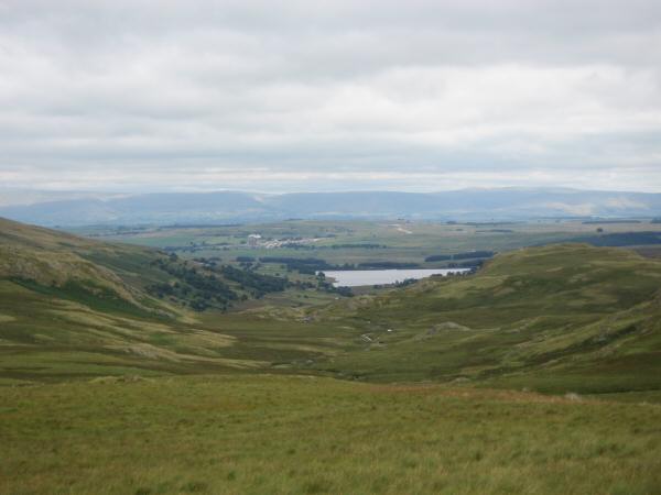
Wet Sleddale Reservoir with the North Pennines in the distance from Ulthwaite Rigg's summit
Brunt Tongue leading up onto Tarn crag with Kentmere Pike in the distance (right of centre) from the slopes of Scam Matthew
Looking across Swindale to Selside End from Fewling Stones

Our route from Fewling Stones took us back down into Swindale
Truss Gap, Swindale
Previous Walk: Yewbarrow (Thu 10 Aug 2006)
Next Walk: The full High Stile ridge (Sun 13 Aug 2006)