Yewbarrow
Thu 10 Aug 2006
Route: Overbeck Bridge, Wasdale - Yewbarrow - Yewbarrow (North Top) - Stirrup Crag - Dore Head - Overbeck Bridge
Distance: 4.00 miles
Ascent: 1,950ft
Time: 2 hours 30 minutes
With: David Hall
Notes:
Evening walk, overcast over the fells, windy on the top
© Crown copyright. All rights reserved. Licence number AL100038401
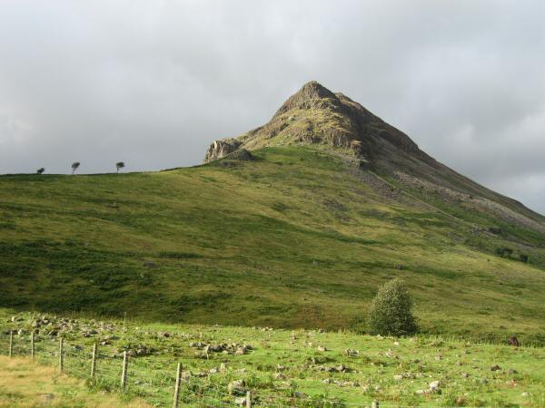
Yewbarrow from near Overbeck bridge car park
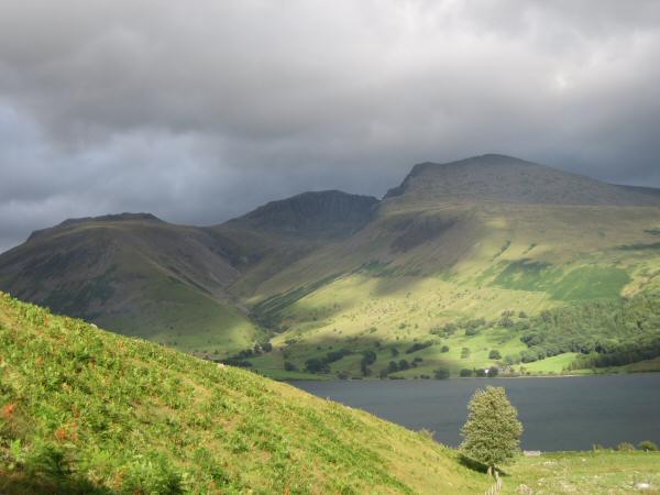
Looking across to Lingmell, Scafell Pike and Scafell from the bottom of Yewbarrow's south ridge
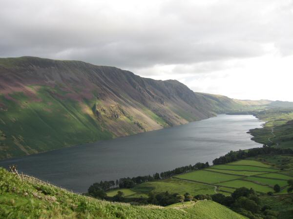
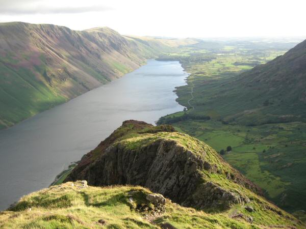
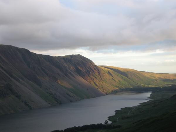
Wastwater and The Screes from Yewbarrow's south ridge
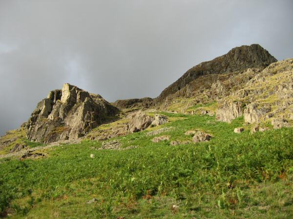
Out route goes up the gully between the crags, keeping to the right hand side in the bottom section
Looking back down our ascent route at just below the point where you start having to use your hands
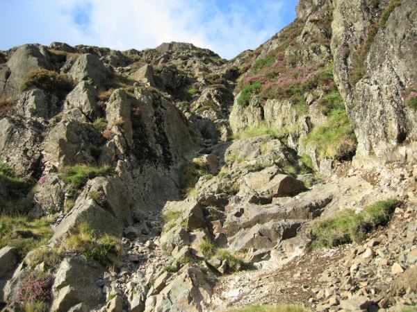
The route goes up the gully with some easy scrambling required
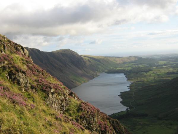
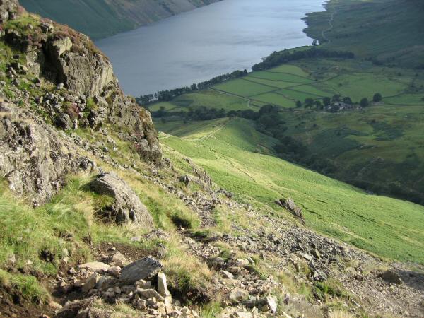
Wastwater from the ascent of Yewbarrow
Wastwater from high up on Yewbarrow's south ridge
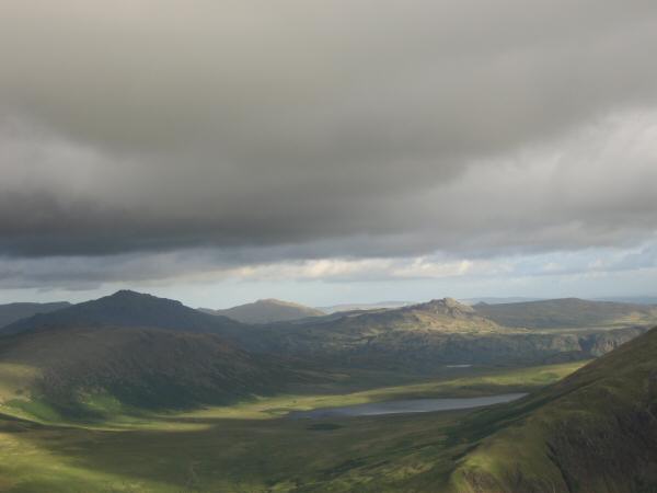
Zooming in on Burnmoor Tarn, the pointed peak in shadow on the left is Harter Fell with Crook Crag / Green Crag behind the tarn catching the sun
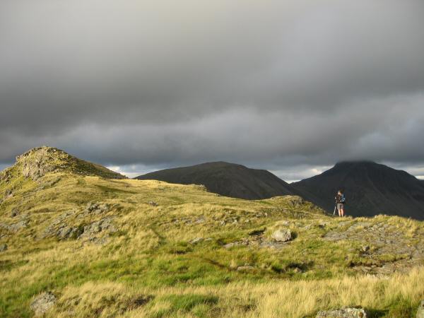
Yewbarrow's summit in the sun with Kirk Fell and Great Gable in shadow
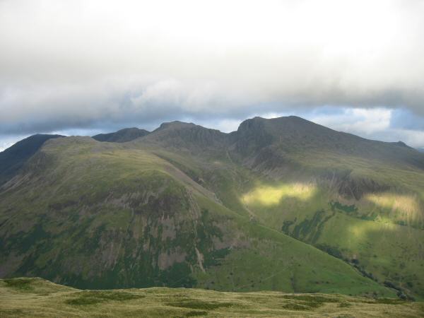
Yewbarrow's north top from the main top with Pillar, Kirk Fell and Great Gable behind
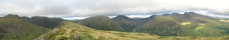
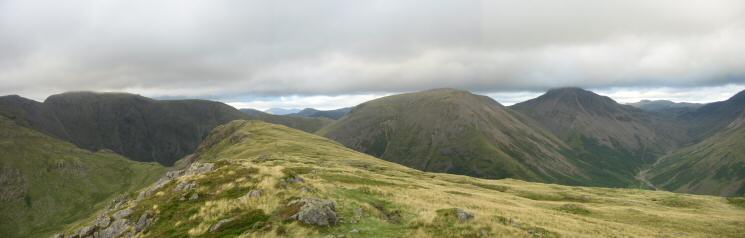
North easterly 180 panorama from Yewbarrow's summit
Great End, Lingmell, Broad Crag, Scafell Pike, Scafell and Slight Side from Yewbarrow
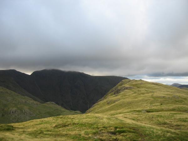
Yewbarrow's northern summit and a very dark looking Pillar
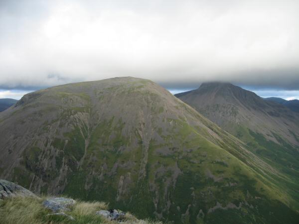
Kirk Fell and Great Gable with its top in cloud
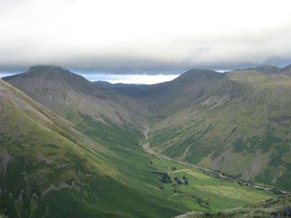
The valley of Lingmell Beck leading to Sty Head from Wasdale Head
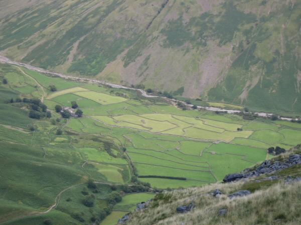
Looking down on the fields of Wasdale Head
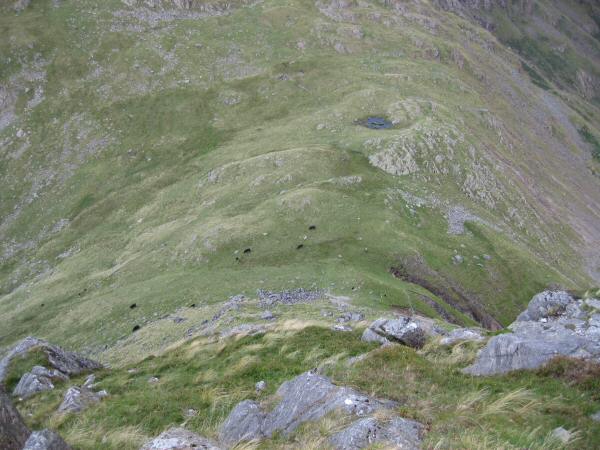
Dore Head from above!
Whin Rigg catching the last of the sun
Previous Walk: Graystones and Broom Fell (Mon 7 Aug 2006)