Harter Fell from Mardale Head
Mon 17 Jul 2006
Route: Mardale Head - Gatescarth Pass - Harter Fell - Nan Bield Pass - Small Water - Mardale Head
Distance: 4.25 miles
Ascent: 1,800ft
Time: 2 hours 20 minutes
With: On Own
Notes:
Hot
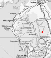
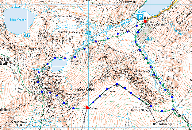
© Crown copyright. All rights reserved. Licence number AL100038401
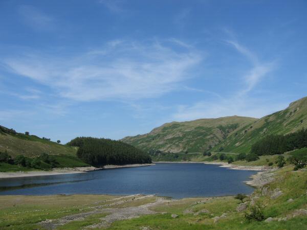
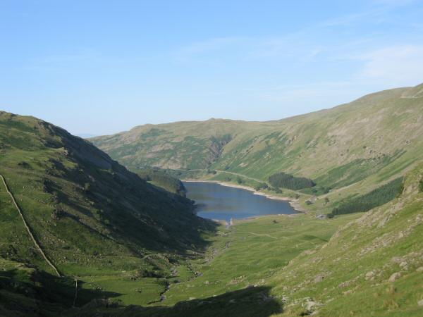
Haweswater from Mardale Head
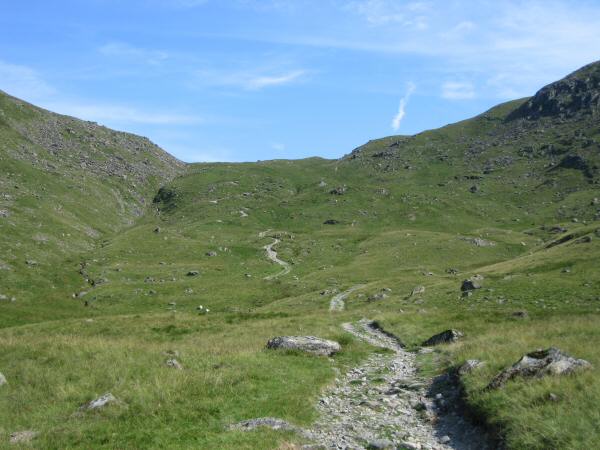
Looking up the track to Gatescarth Pass
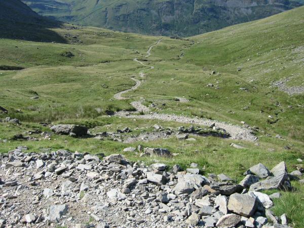
Looking down the Gatescarth Pass track (Mardale side)
Rough Crag with Kidsty Pike and High Raise on the skyline from the Gatescarth Pass track
Haweswater from the ascent of Harter Fell
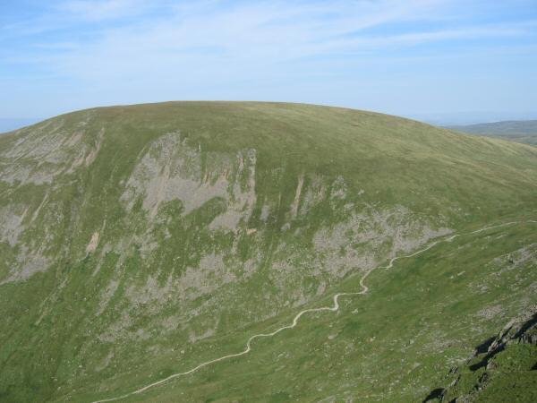
Branstree
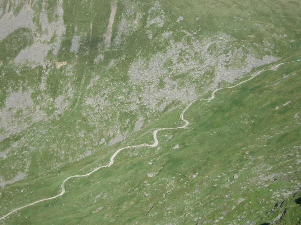
Looking back down on the Gatescarth Pass track
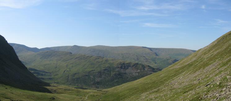
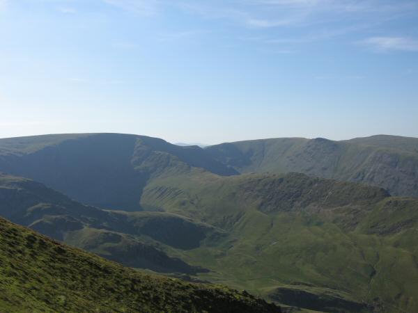
Adam Seat with Tarn Crag beyond and Longsleddale on the far right
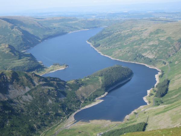
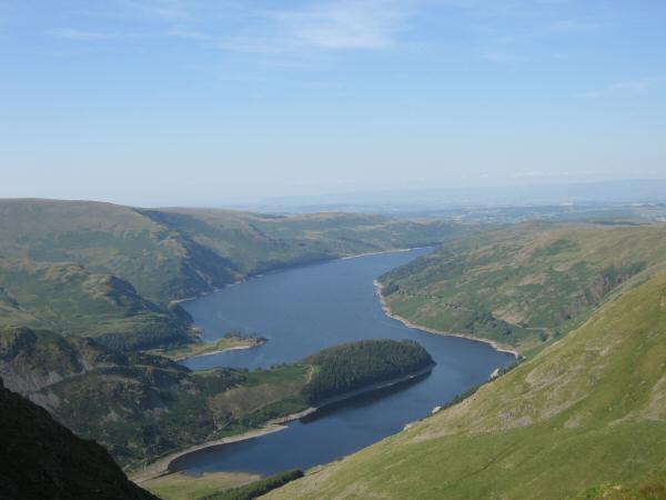
Haweswater from Harter Fell
High Street and Rough Crag from Harter Fell
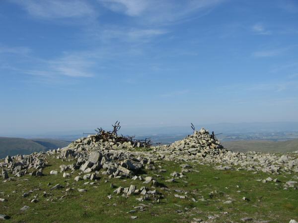
Cairns on Harter Fell
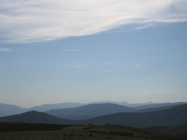
The view west from Harter Fell's summit
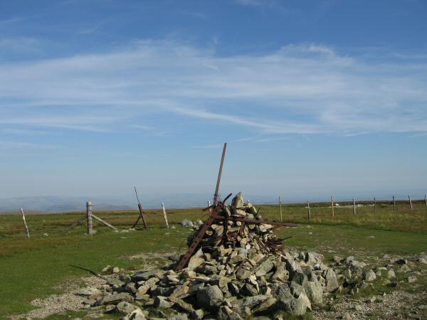
Harter Fell's summit cairn
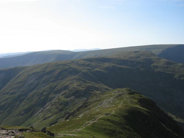
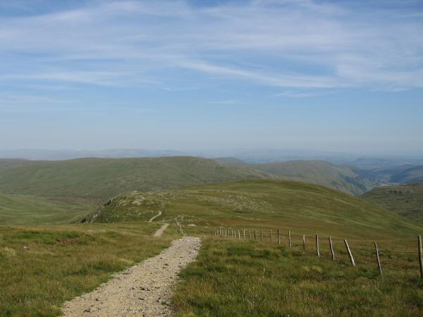
The ridge to Nan Bield Pass from Harter Fell
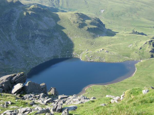
Looking down on Small Water
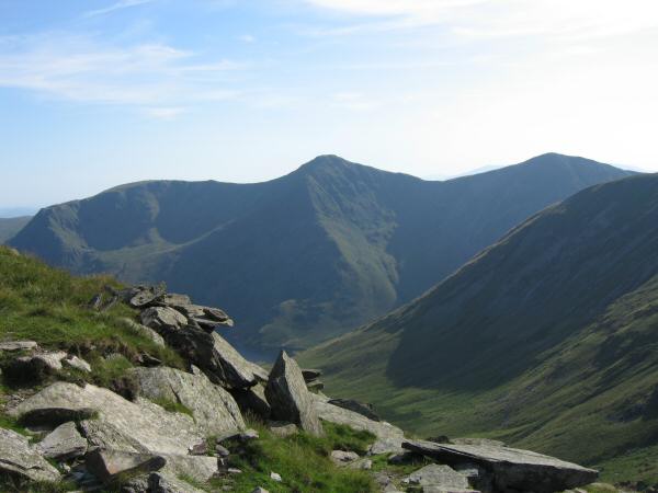
Yoke, Ill Bell and Froswick
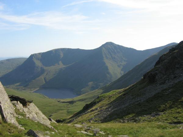
Yoke, Ill Bell and Kentmere Reservoir from Nan Bield Pass
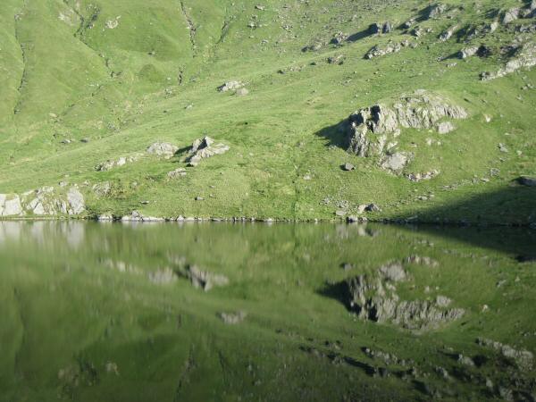
Small Water reflections
Looking down on Mardale Head on the descent from Small Water
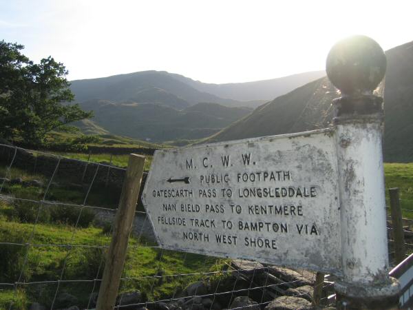
Manchester Corporation Water Works sign at Mardale Head
Previous Walk: Eagle Crag and Sergeant's Crag (Thu 13 Jul 2006)
Next Walk: Pen, the Scafells and Lord's Rake (Sat 22 Jul 2006)