The Kirkstone Pass fells
Sat 10 Jun 2006
Route: Kirkstone Pass - Red Screes - Middle Dodd - Hartsop Hall - Brothers Water - Cow Bridge - Hartsop - Hartsop Dodd - Stony Cove Pike - Caudale Moor Tarn - Caudale Moor - St Raven's Edge - Kirkstone Pass
Distance: 8.50 miles
Ascent: 3,200ft
Time: 5 hours
With: David Hall
Notes:
Blue sky and sunshine, hot when sheltered from the strong wind
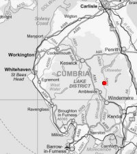
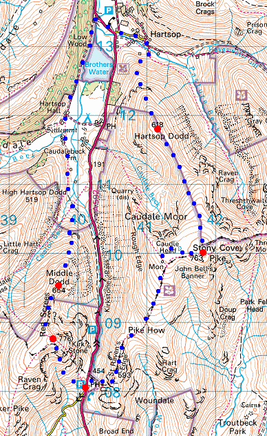
© Crown copyright. All rights reserved. Licence number AL100038401
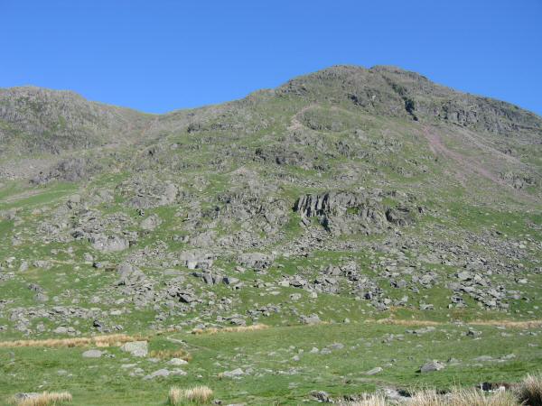
Red Screes from outside the Kirkstone Pass Inn
Looking back down on ther Kirkstone Pass Inn from our ascent of Red Screes
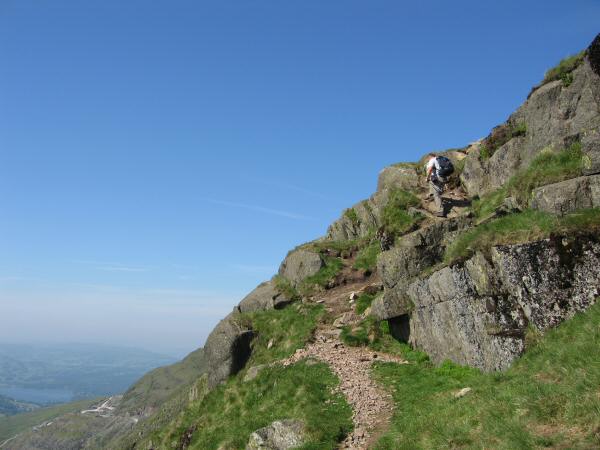
Ascending Red Screes from Kirkstone Pass
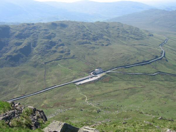
Kirkstone Pass. Left for Patterdale and Glenridding, top right for Troutbeck and bottom right for Ambleside via 'The Struggle'.
Looking towards Helvellyn from Red Screes' summit
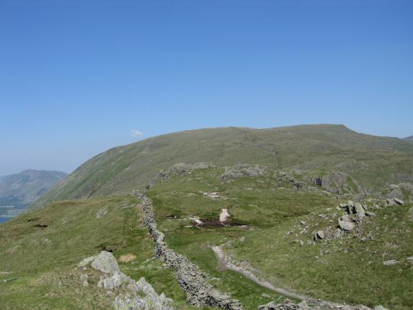
Smallthwaite Band leading to Middle Dodd
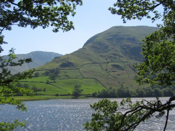
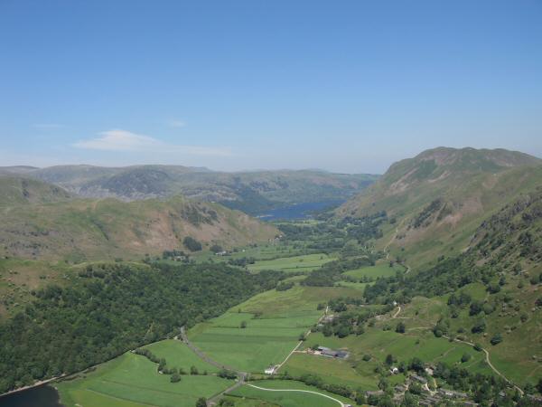
Brothers Water with Place Fell and Angletarn Pikes behind from Middle Dodd
Looking back to Middle Dodd
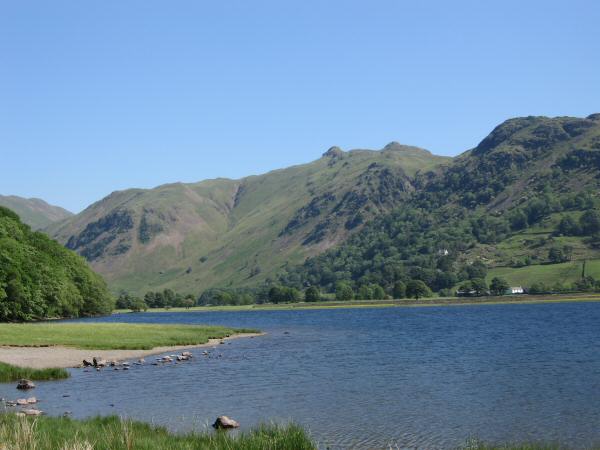
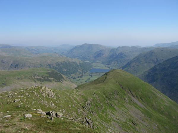
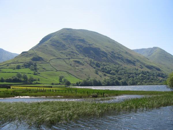
Angletarn Pikes seen across Brothers Water
Looking across Brothers Water to Hartsop Dodd, our next fell on today's walk
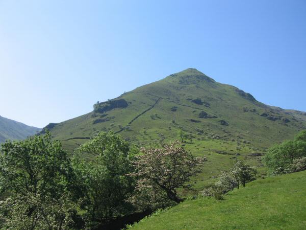
Hartsop Dodd with Rough Edge leading onto Caudale Moor on the right
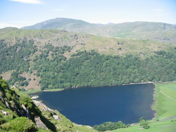
Looking down on Brothers Water from our ascent of Hartsop Dodd
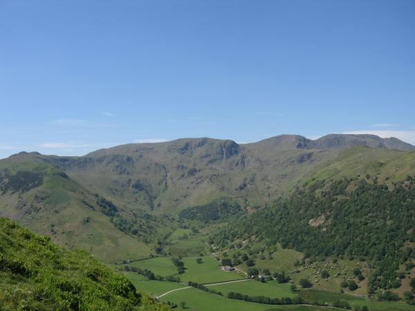
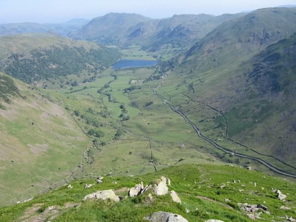
Dovedale with Dove Crag at its head
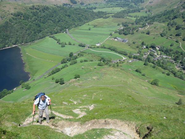
Ascending Hartsop Dodd's north ridge with the village of Hartsop below
The view north with a glimpse of Ullswater from Hartsop Dodd
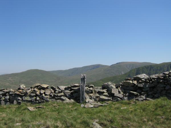
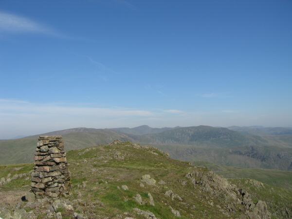
This post marks the summit of Hartsop Dodd
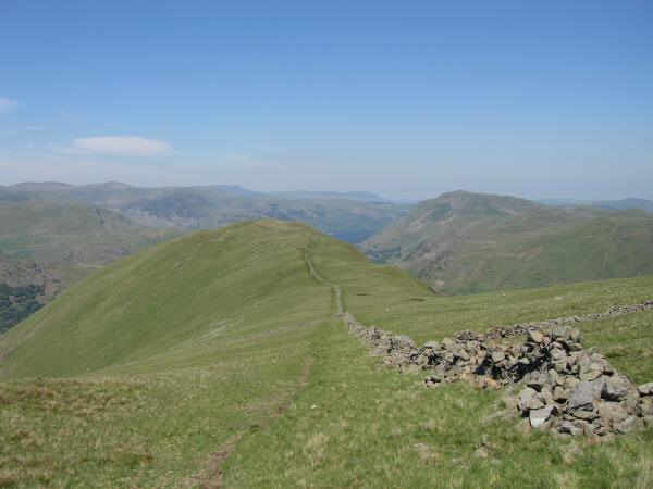
Looking back to Hartsop Dodd from our route to Stony Cove Pike
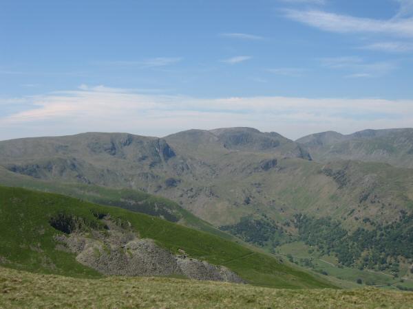
Skyline l to r: Dove Crag, Hart Crag, Fairfield, Cofa Pike, Dollywaggon Pike, High Crag and Nethermost Pike
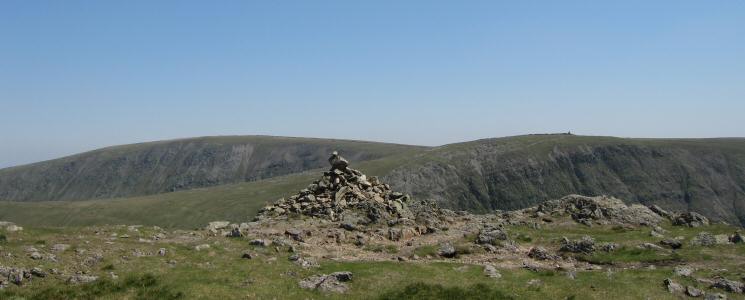
High Street and Thornthwaite Crag from Stony Cove Pike's summit
Froswick, Ill Bell and Yoke from Stony Cove Pike
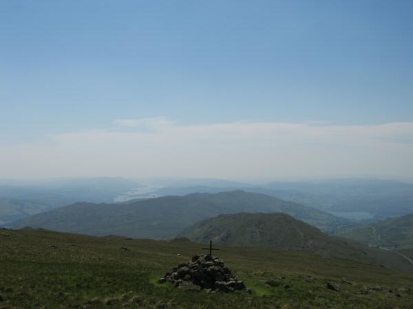
St Raven's Edge with Wansfell behind and Windermere in the distance from the Atkinson Monument on Caudale Moor

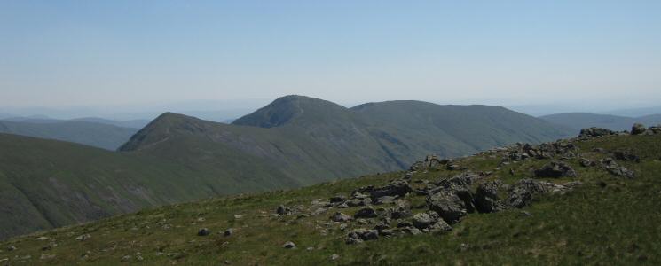
Froswick and Ill Bell from St Raven's Edge
Red Screes from St Raven's Edge
Looking back towards Caudale Moor from St Raven's Edge
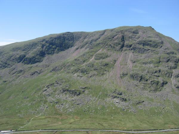
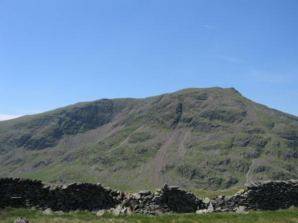
Red Screes with Kirkstone Pass running along the bottom of the photo
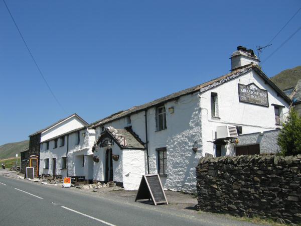
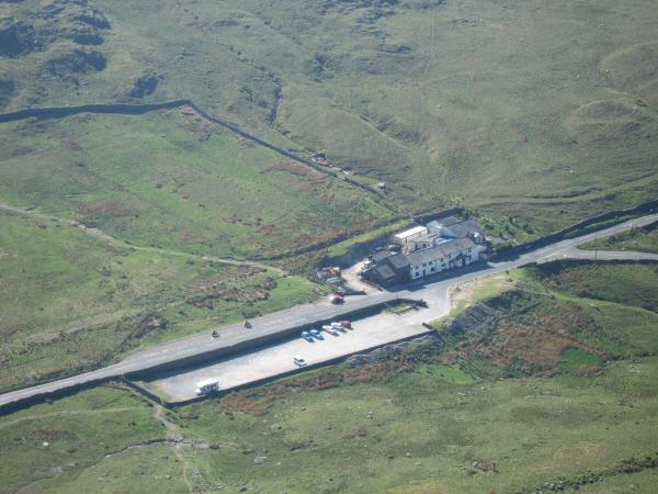
The Kirkstone Pass Inn, 1,481ft above sea level
Previous Walk: Castlerigg Stone Circle and High Rigg (Thu 8 Jun 2006)
Next Walk: Causey Pike to Rannerdale Knotts (Sun 11 Jun 2006)