Dovedale Horseshoe
Sun 21 May 2006
Route: Cow Bridge - Hartsop Above How - Hart Crag - Dove Crag - Little Hart Crag - High Hartsop Dodd - Hartsop Hall - Brothers Water - Cow Bridge
Distance: 6.75 miles
Ascent: 2,750ft
Time: 3 hours 45 minutes
With: Anne
Notes:
Becoming overcast with the rain arriving as we left High Hartsop Dodd's summit
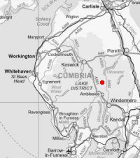
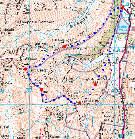
© Crown copyright. All rights reserved. Licence number AL100038401
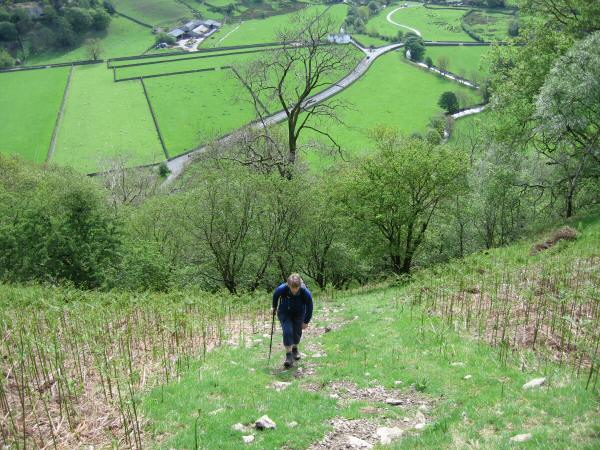
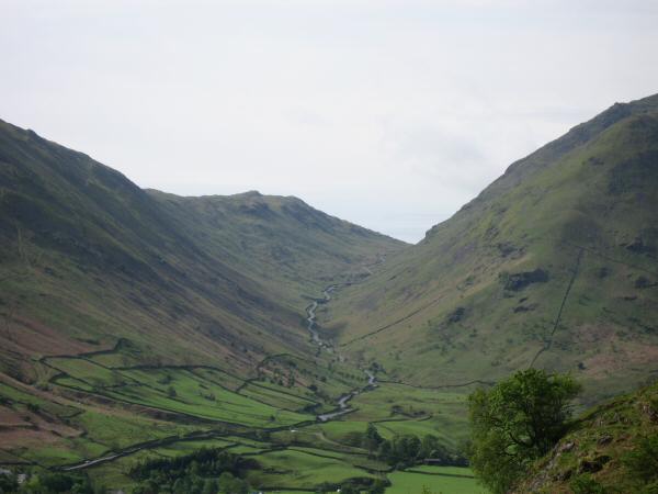
Its a steep start. Straight up from Cow Bridge to gain the Hartsop Above How ridge
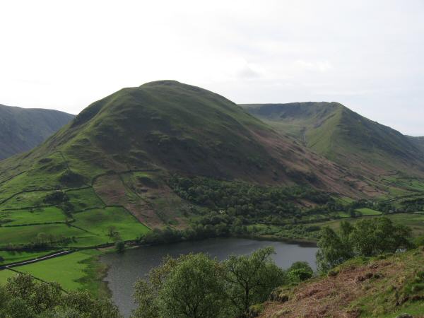
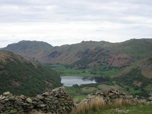
Looking over Brothers Water to Hartsop Dodd with Rough Edge on the right
Kirkstone Pass
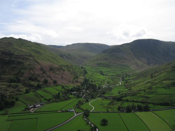
The village of Hartsop with Brock Crags on the left, The Knott centre and Gray Crag on the right
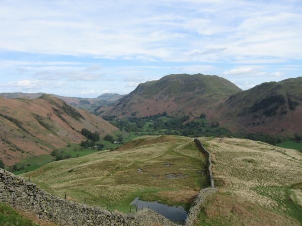
Place Fell from the Hartsop Above How ridge
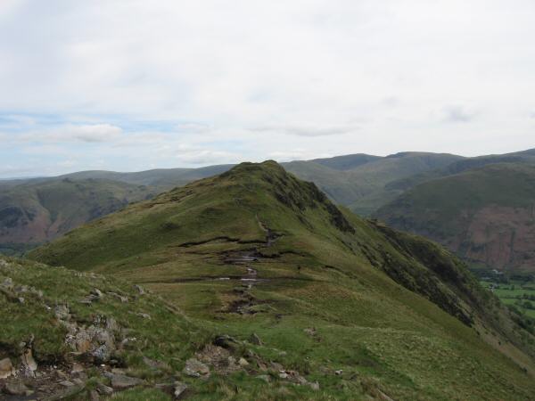
Looking back down the Hartsop Above How ridge
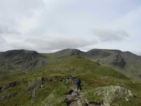
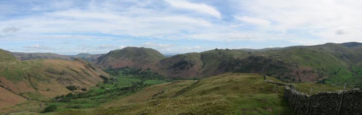
Heading along the Hartsop Above How ridge with Dove Crag, Hart Crag and Fairfield on the skyline

360 Panorama from Hartsop Above How's summit
Dove Crag, Hart Crag and Fairfield from Hartsop Above How
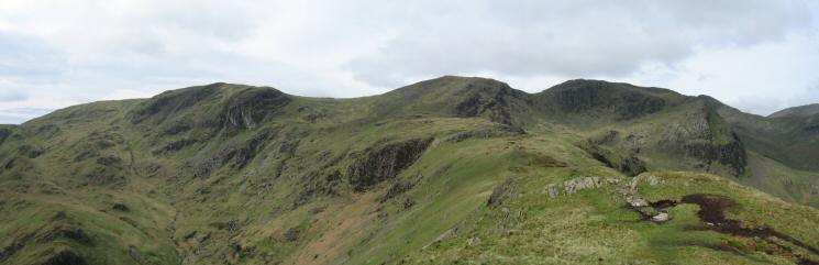
Looking back to Hartsop Above How from the ridge to Hart Crag
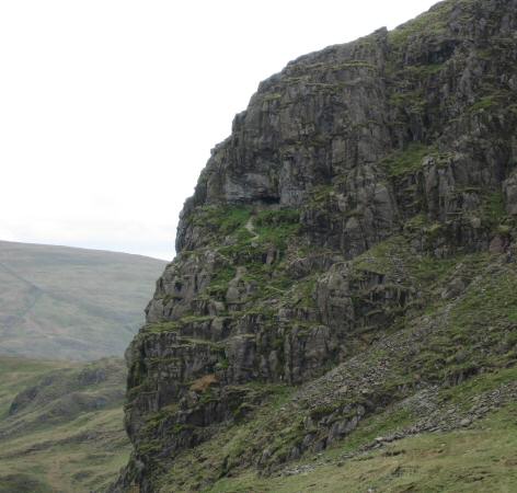
Zooming in on the Priest's Hole (Cave), Dove Crag
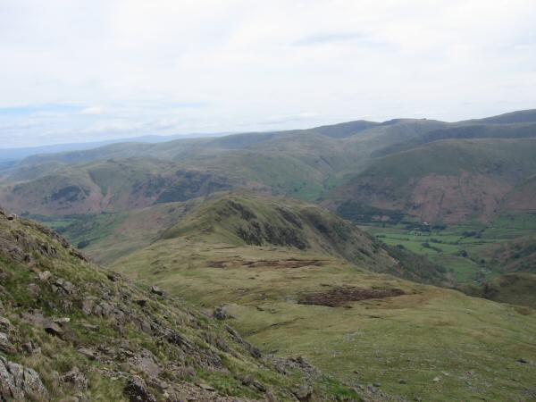
Looking back towards Hartsop Above How from the ascent of Hart Crag
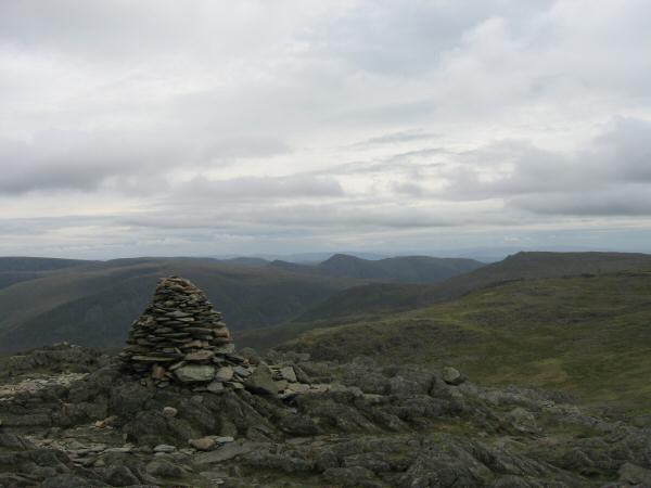
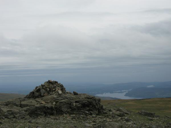
The pointed Ill Bell from Hart Crag's summit cairn
Helvellyn from Hart Crag's summit

360 Panorama from Hart Crag's summit
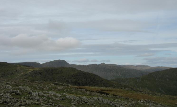
Looking back to Hart Crag with Fairfield on the left from Dove Crag
Windermere from Dove Crag's summit
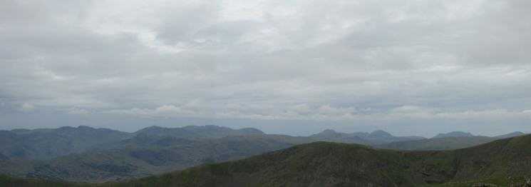
Crinkle Crags, Bowfell, Scafell Pike, Great End, Great Gable, Pillar, High Stile and Dale Head from Dove Crag's summit
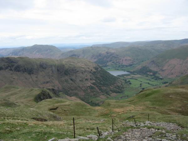
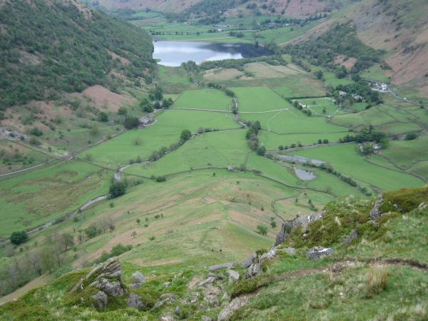
Looking down towards Brothers Water from the descent towards Little Hart Crag
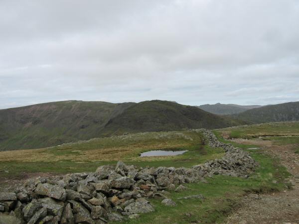
Scandale with Scandale Tarn in the foreground
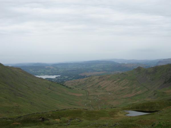
Brothers Water with Place Fell and Angletarn Pikes behind from High Hartsop Dodd
Looking down High Hartsop Dodd's north ridge
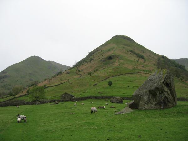
High Hartsop Dodd with Middle Dodd on the left
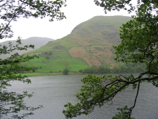
Looking across Brothers Water to Hartsop Dodd
Previous Walk: Little Mell Fell (Tue 16 May 2006)
Next Walk: Arthur's Pike and Bonscale Pike (Wed 24 May 2006)