Helvellyn from Swirls
Sat 28 Jan 2006
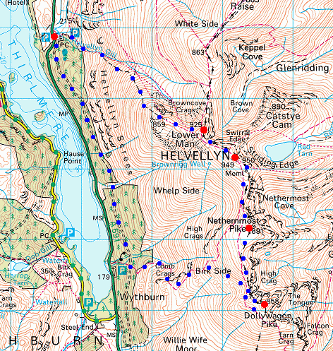
Route: Swirls - Browncove Crags path - Helvellyn Lower Man - Helvellyn - Swallow Scarth - Nethermost Pike - High Crag - Dollywaggon Pike - Birk Side - Wythburn path - forest path - Swirls
Distance: 8.00 miles
Ascent: 3,300ft
Time: 4 hours
With: On Own
Notes:
Not bad, beats shopping in Manchester
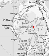
© Crown copyright. All rights reserved. Licence number AL100038401
Raven Crag and a touch of snow on Skiddaw from above Swirls
Looking back down towards Swirls
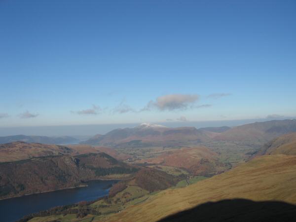
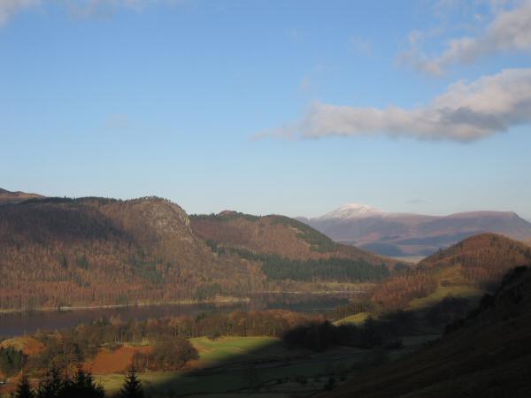
Thirlmere and Skiddaw from the Browncove Crags path
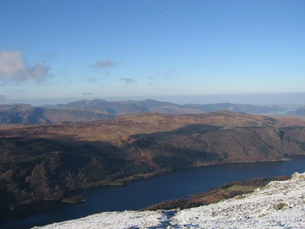
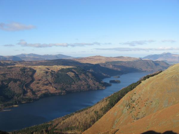
Looking across Thirlmere to High Seat and Bleaberry Fell with the north western fells in the distance
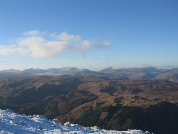
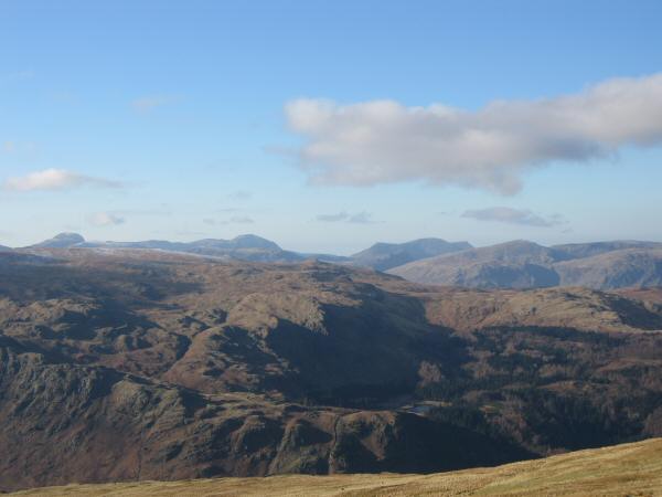
The view west - Bowfell, Scafell Pike, Great End, Great Gable and Pillar on the skyline
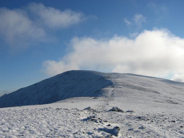
Helvellyn Lower Man
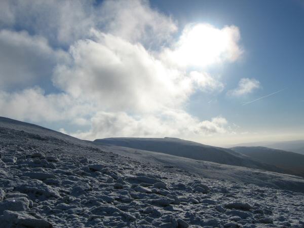
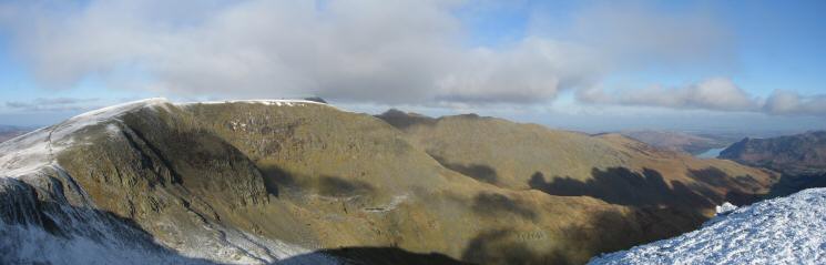
Looking south to the flat topped Nethermost Pike
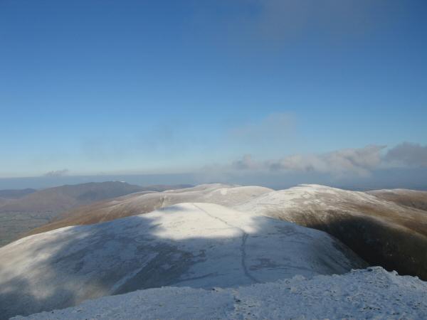
White Side, Raise and the Dodds to the north from Helvellyn Lower Man's summit
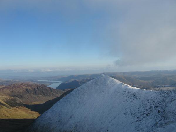
Catstycam from Helvellyn Lower Man's summit
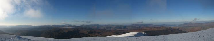
Westernly panorama from Helvellyn Lower Man's summit
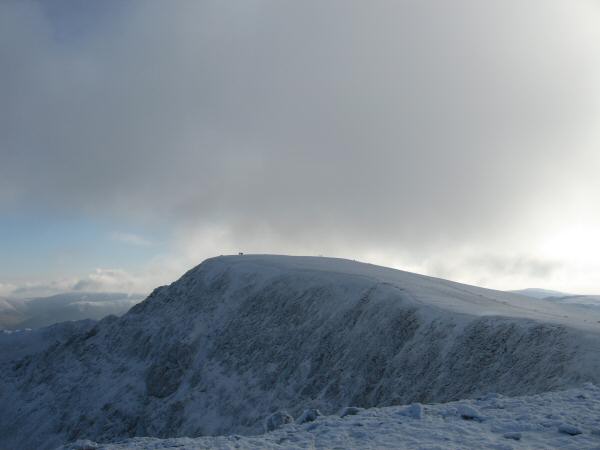
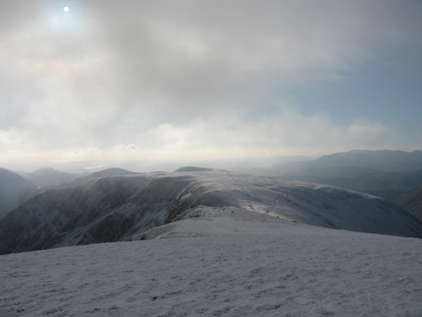
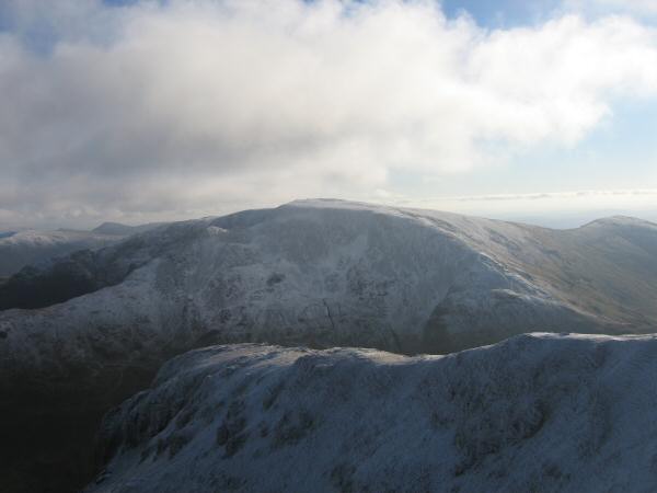
Helvellyn from Lower Man
Swirral Edge to Catstycam
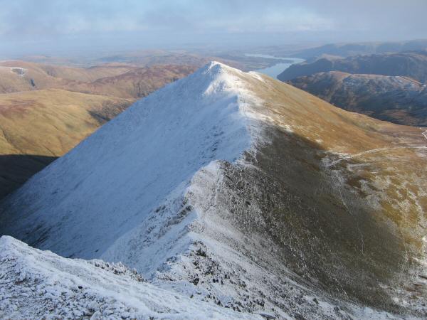
Striding Edge and Helvellyn's summit
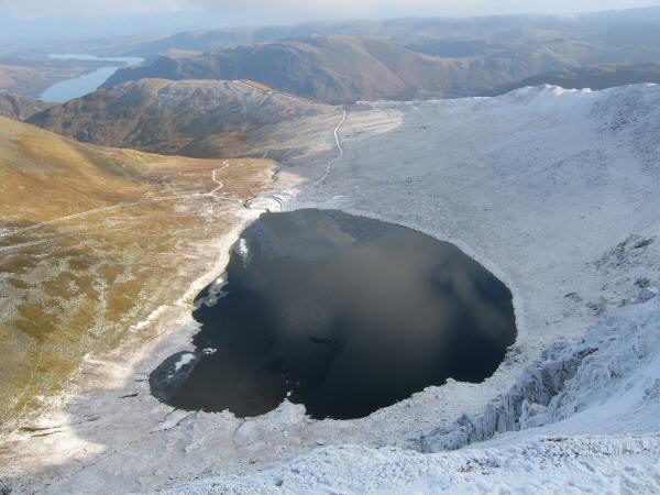
Red Tarn with Ullswater in the distance (left)
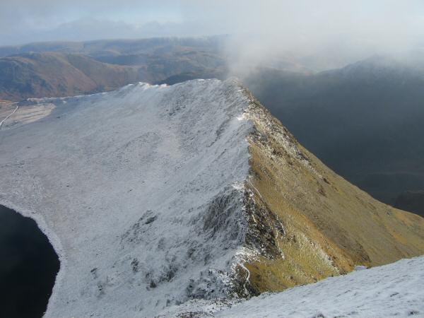
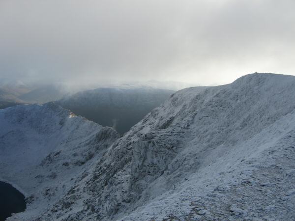
Looking down on Striding Edge
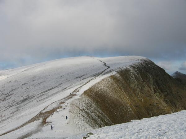
The way ahead to Nethermost Pike
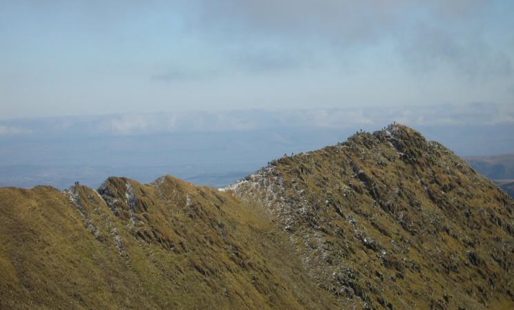
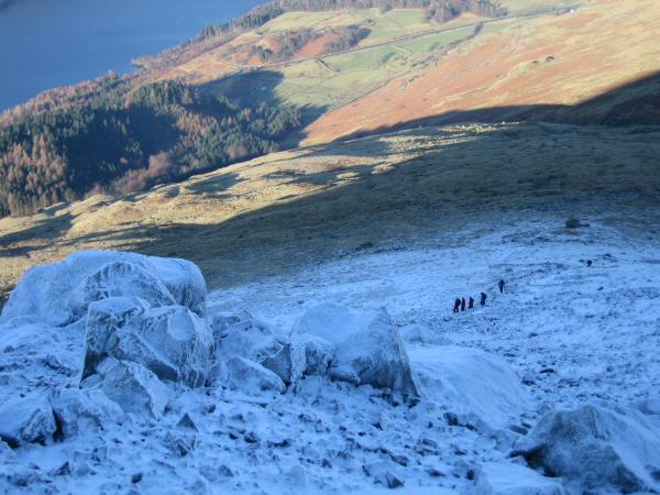
Walkers on Striding Edge
Looking back to Helvellyn from the route up Nethermost Pike

360 Panorama from Nethermost Pike's summit
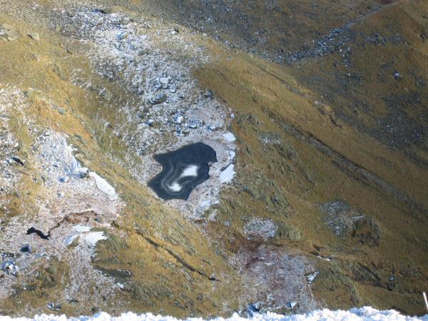
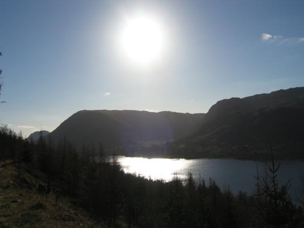
Looking down on Hard Tarn from High Crag
The view north from Dollywaggon Pike's summit
Fairfield from Dollywaggon Pike's summit
Saint Sunday Crag from Dollywaggon Pike's summit
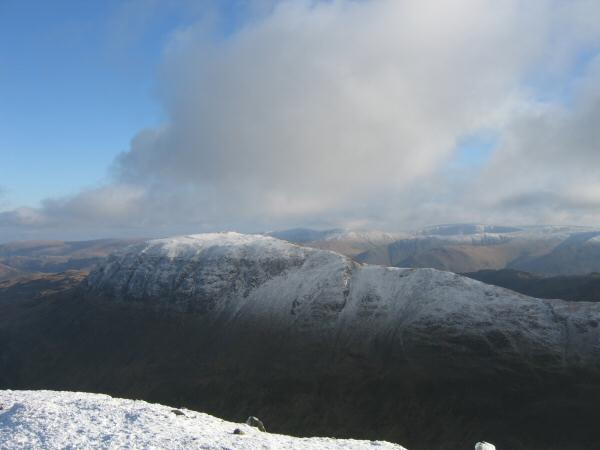
Great Gable, Pillar and the High Stile ridge on the skyline. Harrop Tarn just visible (bottom, right of centre)
Thirlmere from the descent to Wythburn
Steel Fell and the Wythburn valley from the permissive path above Thirlmere
Previous Walk: Nan Bield Pass and the Ill Bell Ridge (Sun 22 Jan 2006)