Cross Fell, Little Dun Fell and Great Dun Fell
Sun 23 Apr 2006
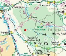
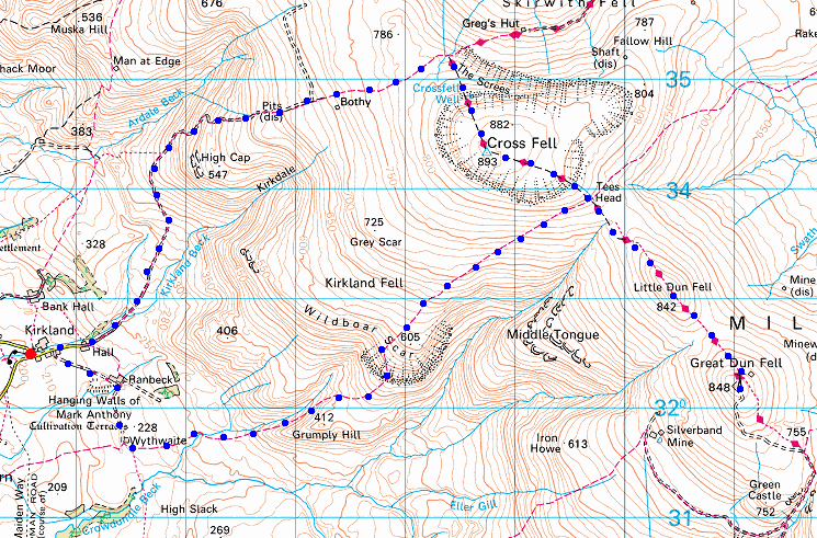
Route: Kirkland - High Cap - Cross Fell - Tees Head - Little Dun Fell - Great Dun Fell - Little Dun Fell - Tees Head - Wildboar Scar - Wythwaite - Ranbeck - Kirkland
Distance: 11.75 miles
Ascent: 3,000ft
Time: 4 hours 50 minutes
With: Anne
Notes:
Sunshine and blue sky, not much wind
© Crown copyright. All rights reserved. Licence number AL100038401
Looking back down the track out of Kirkland
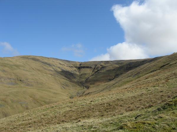
Black Doors
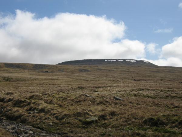
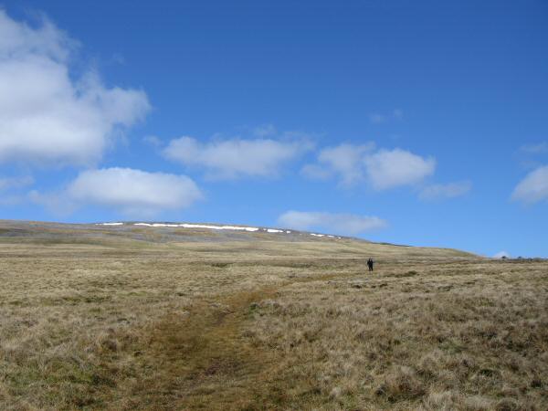
Looking across the moorland to Cross Fell's summit
Looking across to the bothy marked to the west of Cross Fell's summit (no roof and well ventilated!)
Looking back down our route
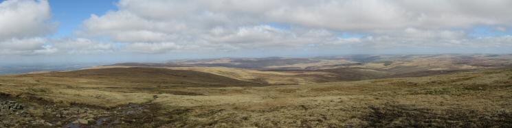
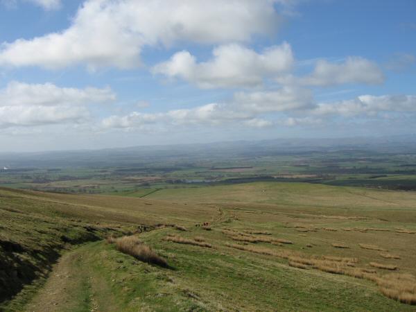
Northerly panorama from the climb to Cross Fell's summit
The view north from Cross Fell
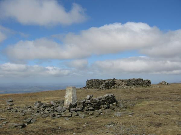
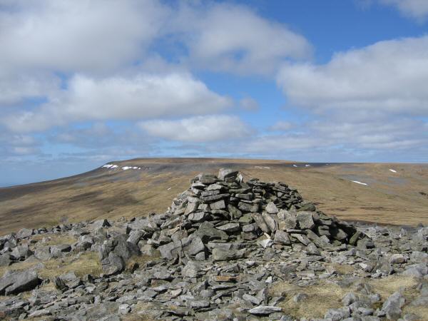
Cross Fell's summit
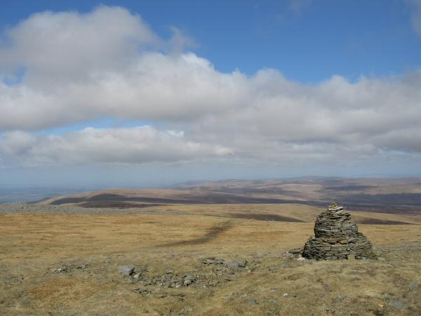
The radar station on Great Dun Fell from Cross Fell
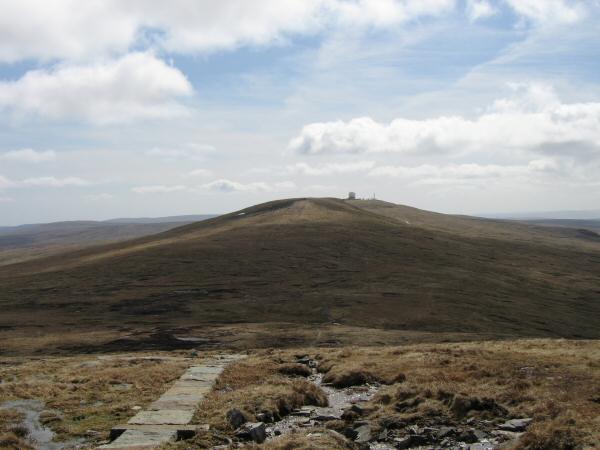
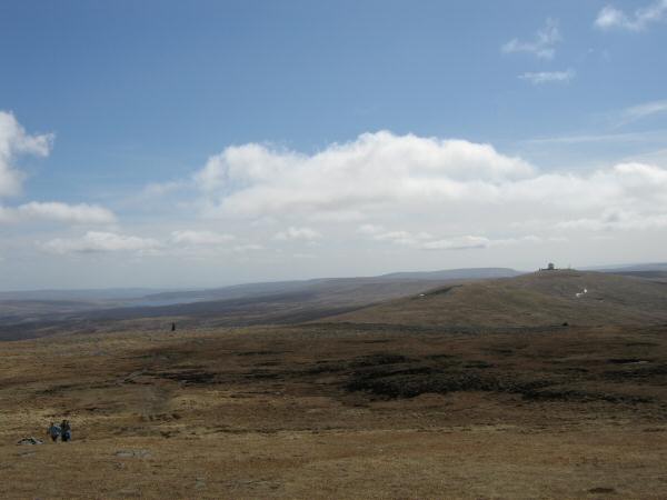
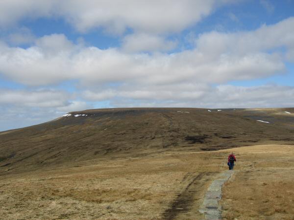
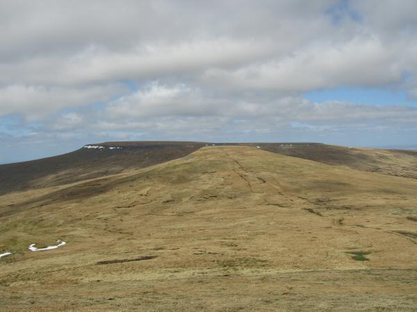
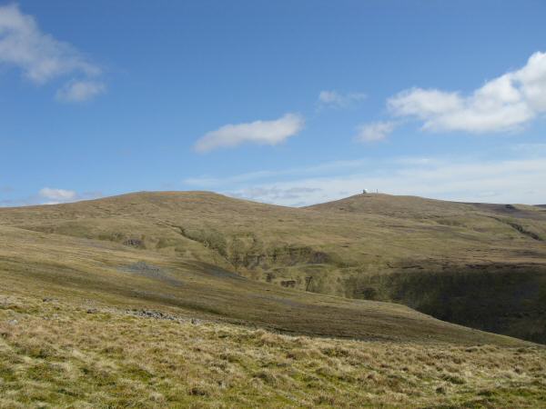
Little Dun Fell with Great Dun Fell behind
Looking back to Cross Fell from our ascent of Little Dun Fell
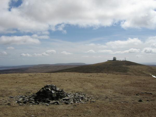
Great Dun Fell from Little Dun Fell's summit cairn
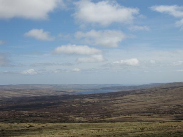
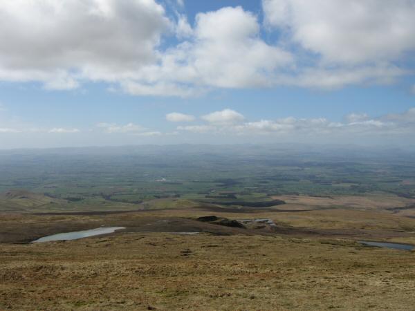
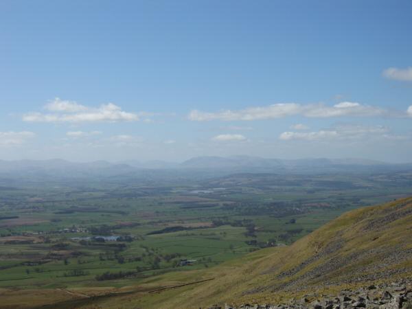
Cow Green Reservoir from Great Dun Fell
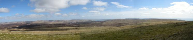
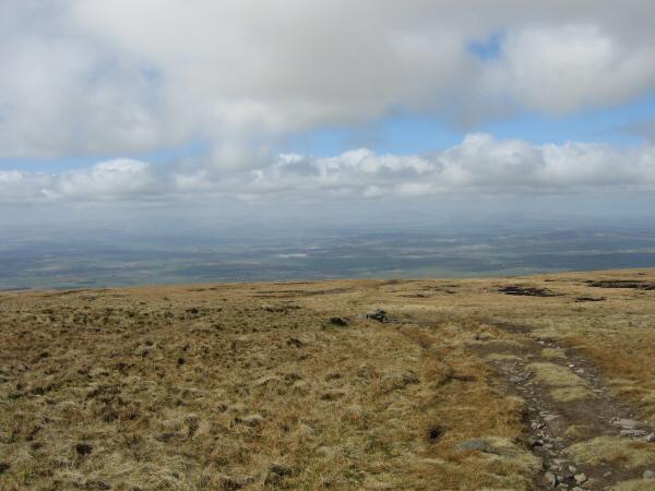
Easterly panorama from Great Dun Fell's summit
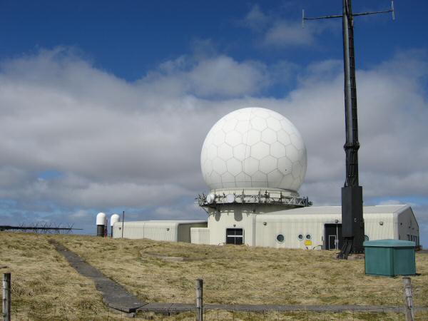
The radar station on the summit of Great Dun Fell
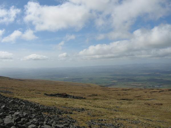
The Silverband Mine from Great Dun Fell's summit
Little Dun Fell with Cross Fell behind
Cross Fell from the shelter on Little Dun Fell
Little Dun Fell and Great Dun Fell from the path down to Wildboar Scar
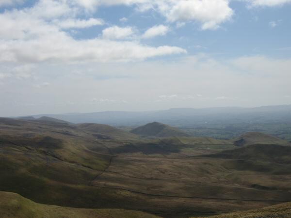
The pointed Dufton Pike to the south with Knock Pike on the far right
Looking back up towards Cross Fell's summit
The north end of the Dodds ridge and Blencathra from Wildboar Scar
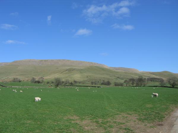
Cross Fell from near Ranbeck
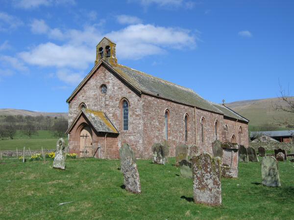
St Lawrence church, Kirkland
Previous Walk: Wansfell (Sat 22 Apr 2006)
Next Walk: Helvellyn from Swirls (Wed 26 Apr 2006)