Black Crag and Holme Fell
Sat 3 Dec 2005
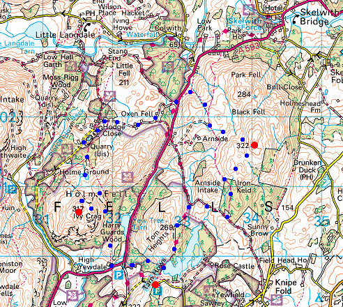
Route: Tarn Hows Carpark - Tarn Hows - Iron Keld Plantation - Black Fell (Black Crag) - Low Arnside - Hollin Bank - Tongue Intake - Low Oxen Fell - High Oxen Fell - Hodge Close - Holme Ground Tarns - Holme Fell - Ivy Crag - Uskdale Gap - Harry Guards Wood - Yew Tree Farm - Glen Mary Bridge - Tom Gill Waterfall - Tarn Hows - Tarn Hows Carpark
Distance: 6.50 miles
Ascent: 1,500ft
Time: 5 hours
With: Members of the Wainwright Society
Notes:
Mild, some sunshine
© Crown copyright. All rights reserved. Licence number AL100038401
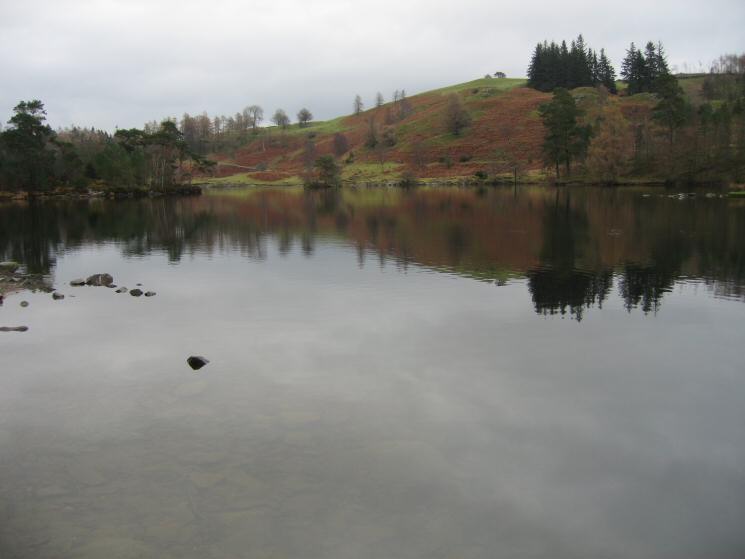
Tarn Hows
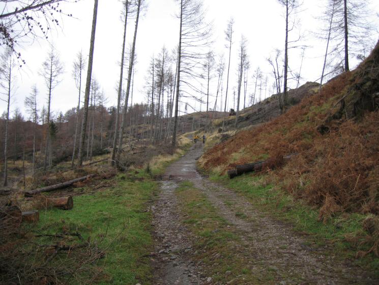
All that remains of Iron Keld Plantation
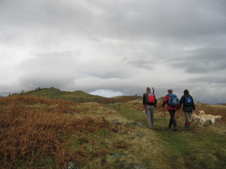
Heading for Black Crag's summit
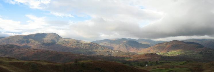
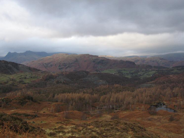
Wetherlam and the Langdale Fells from Black Crag
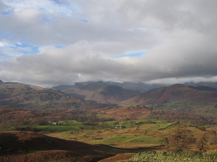
The view west to Little Langdale from Black Crag's summit
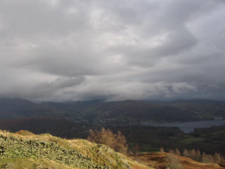
Ambleside at the head of Windermere from Black Crag's summit
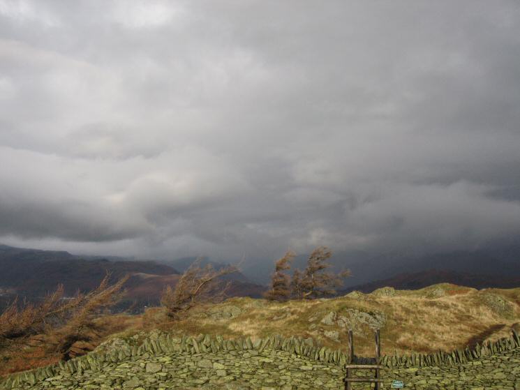
Cloudy in the north Lakes
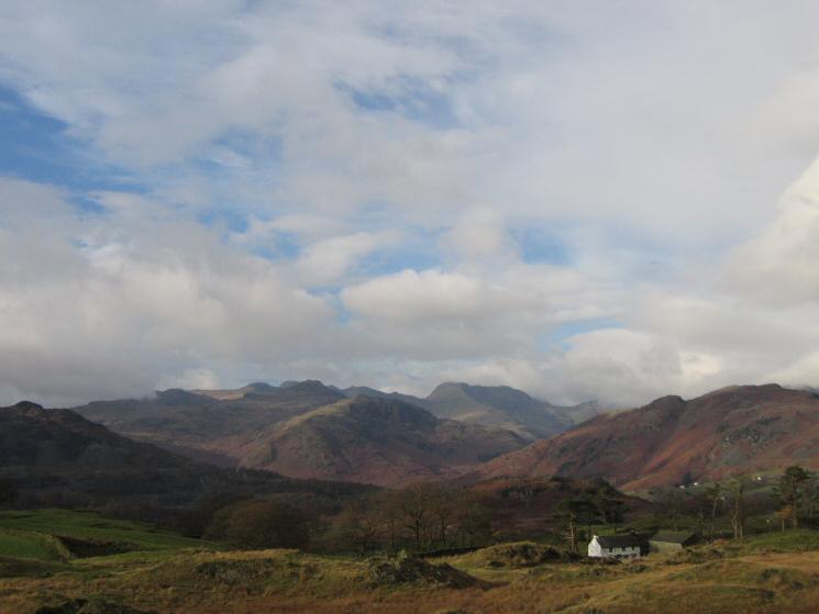
Low Arnside with Crinkle Crags and Bowfell on the skyline
Low Arnside
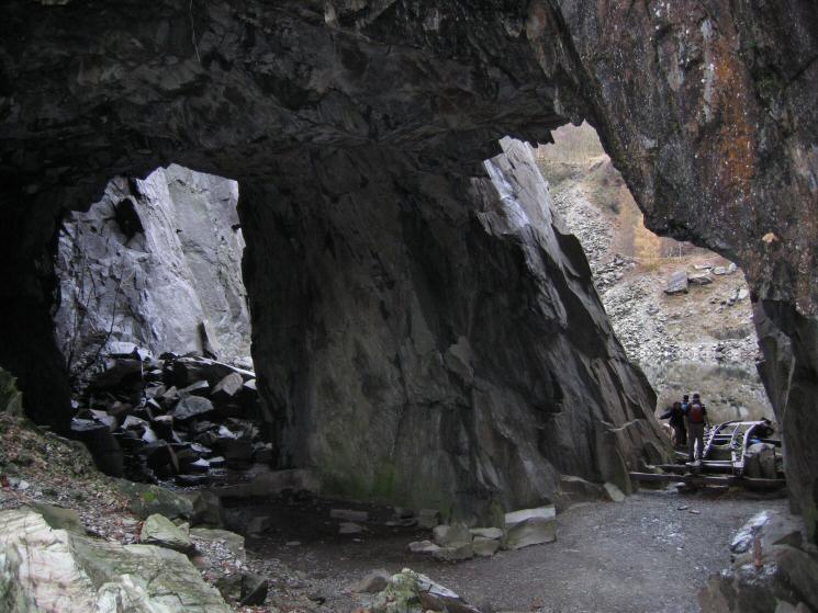
Hodge Close
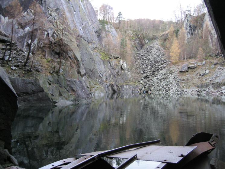
Looking out across the pool at Hodge Close
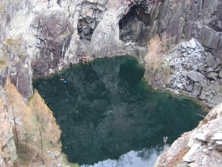
Hodge Close
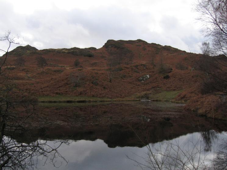
Holme Fell with Ivy Crag on the left from one of the two old reservoirs
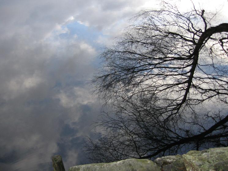
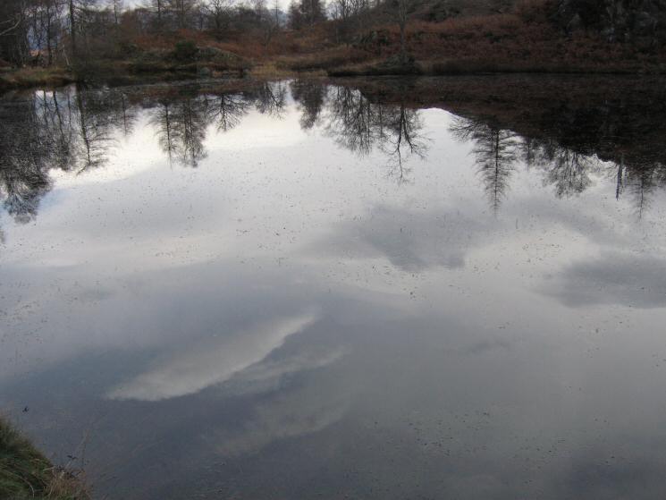
Reflection
One of the two disused reservoirs on Holme Fell
Ascending from the reservoir to Holme Fell's summit
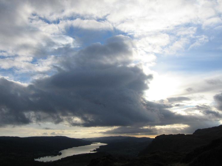
The sky above Coniston Water
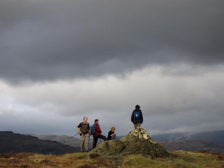
Holme Fell's summit
Lingmoor Fell with the Langdale Pikes on the far left from Holme Fell
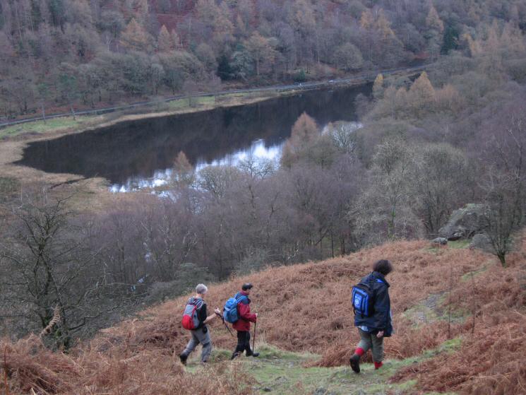
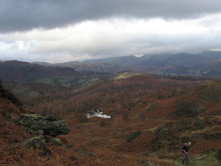
The path down from Uskdale Gap with Yew Tree Tarn below
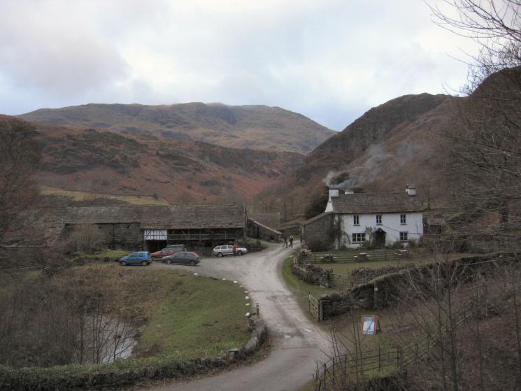
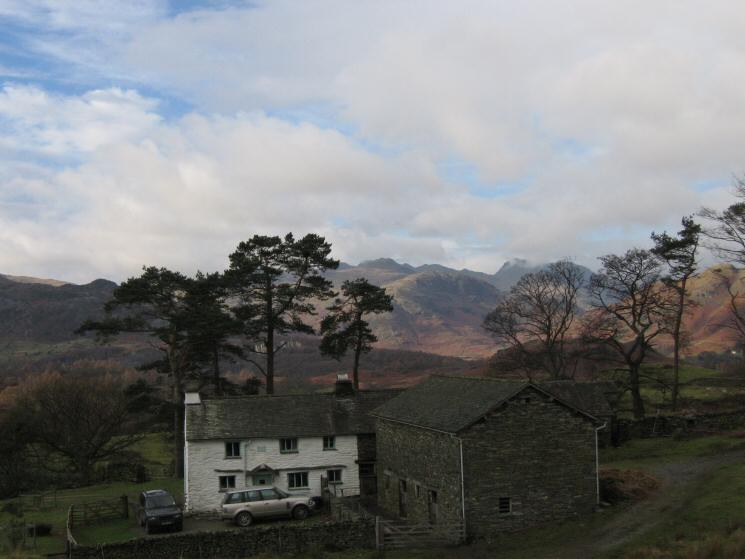
Yew Tree Farm
Previous Walk: Aira Force and Gowbarrow Fell (Sun 27 Nov 2005)
Next Walk: Place Fell and Boredale (Sun 4 Dec 2005)