Dunnerdale Fells and Great Stickle from Stonestar
Sat 26 Nov 2005
Route: Stonestar - Dunnerdale Fells - Great Stickle - Stonestar
Distance: 2.75 miles
Ascent: 850ft
Time: 1 hour 20 minutes
With: Anne
Notes:
Some blue sky.
The plan was to follow A. Wainwright's 'Dunnerdale Fells' walk in his book 'The Outyling Fells of Lakeland' [page 132]. However we failed to visit Wainwright's top being distracted by a very prominent cairn on a top to the south east, we only discovered this on looking at the book on returning home. The red dot next to 'Tarn Hill' on the map marks the top we should have visited. To extend the walk we visited Great Stickle on our return to the car.
I managed to visit Wainwright's top of Dunnerdale Fells in [[Jnl:337|July 2008]]
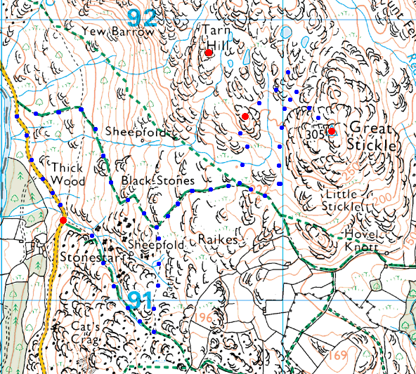
© Crown copyright. All rights reserved. Licence number AL100038401
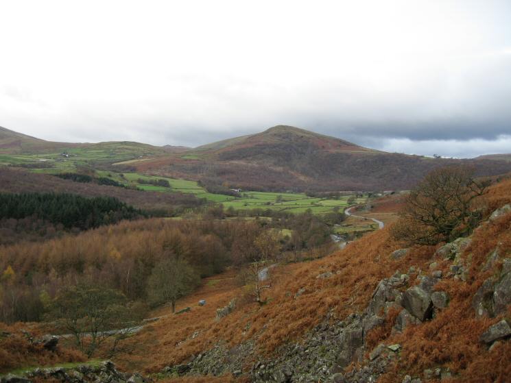
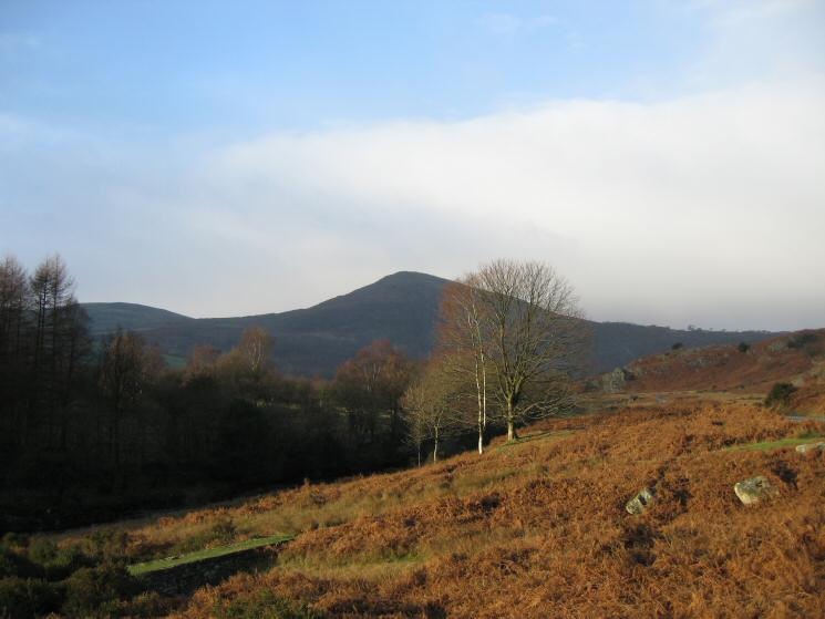
The Pike from near Stonestar
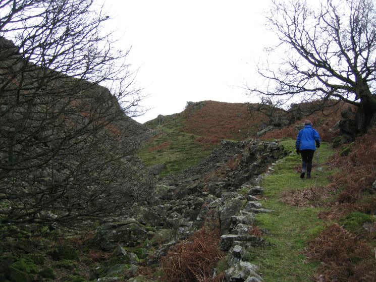
The path up from Stonestar
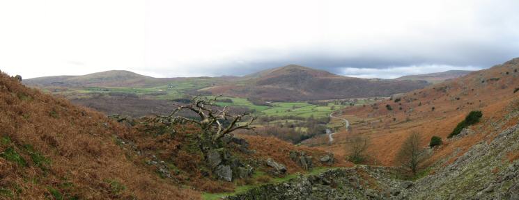
The Pike with Whitfell on the left from the rocky ravine above Stonestar
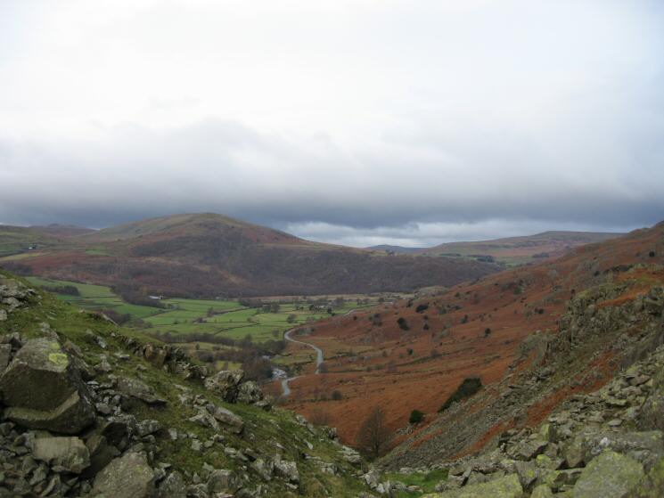
The Pike from above Stonestar
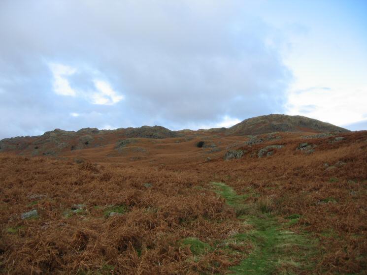
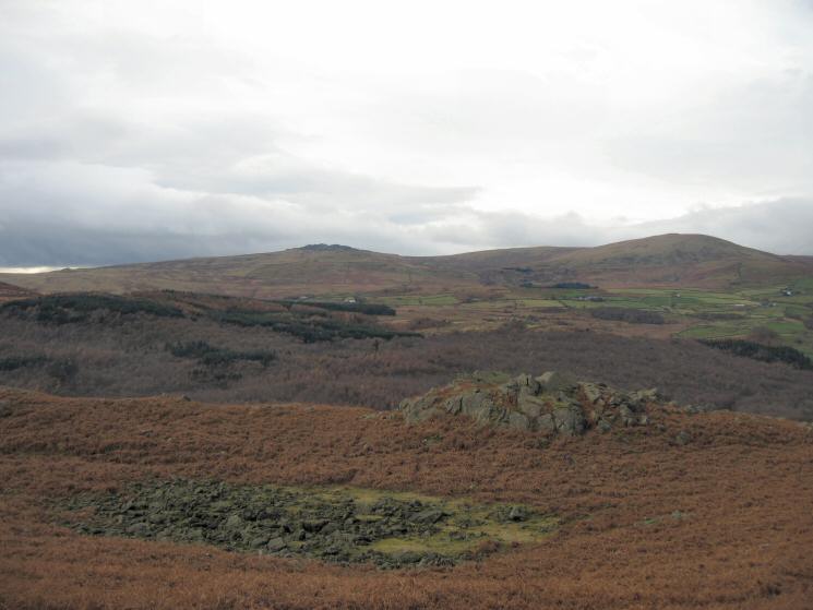
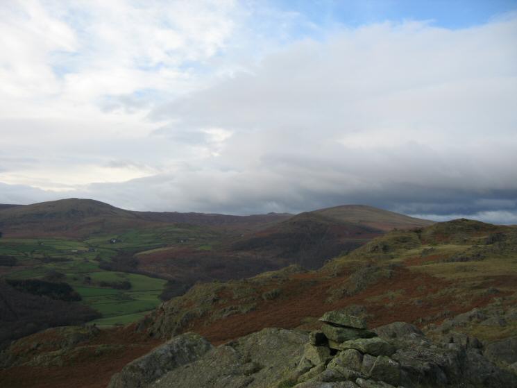
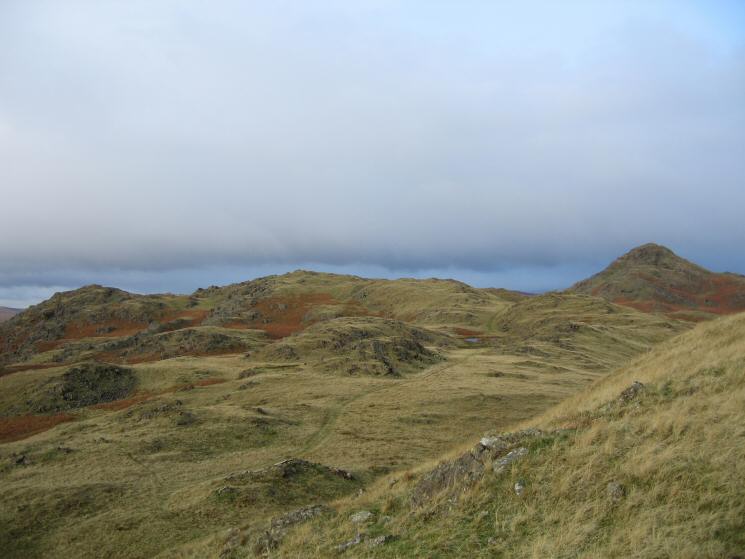
The Dunnerdale Fells to the north with Great Stickle on the right
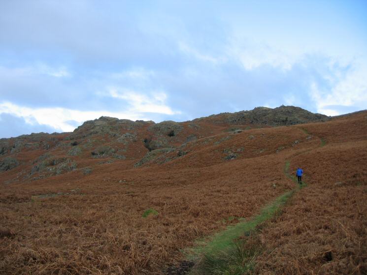
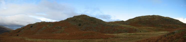
The Dunnerdale Fells
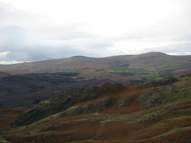
Looking over Wainwright's bouldery Tarn (dry) to Buck Barrow and Whitfell
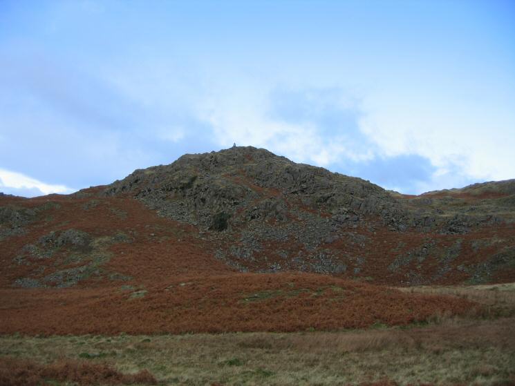
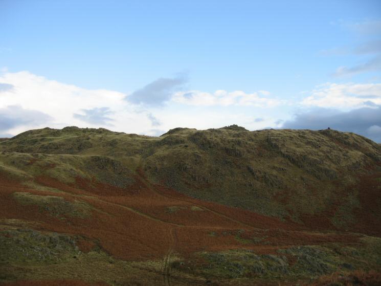
Dunnerdale Fell's south eastern top with prominent cairn
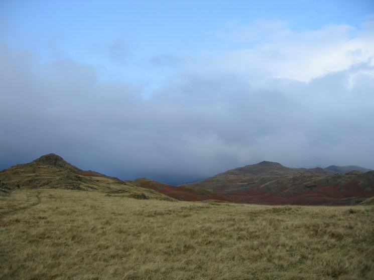
The Dunnerdale Fells ahead with the top we visited in the middle. Great Stickle on the right
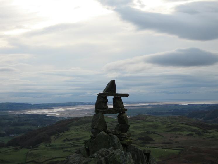
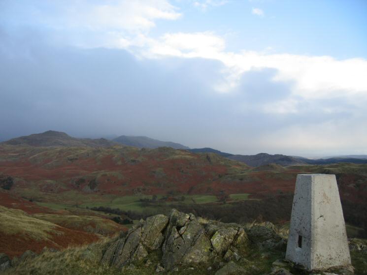
Duddon Sands from Dunnerdale Fell's south eastern top
Whitfell on the left and The Pike with Hesk Fell behind right of centre

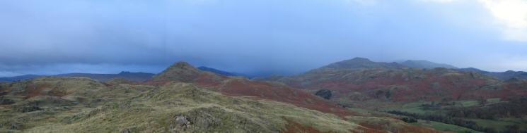
360 Panorama from Dunnerdale Fell's south eastern summit
Great Stickle
Stickle Pike and Caw
Looking over the top we visited to Buck Barrow and Whitfell
Tarn Hill and Stickle Pike from Great Stickle
Caw and Walna Scar from Great Stickle's summit
Northerly panorama from Great Stickle's summit
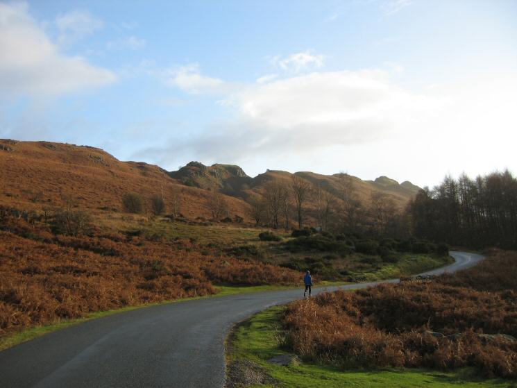
Heading back up the road to Stonestar
The Pike
Previous Walk: Ullscarf from Watendlath (Sun 20 Nov 2005)