Ullscarf from Watendlath
Sun 20 Nov 2005
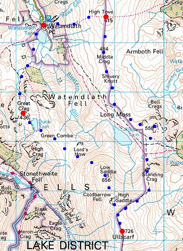
Route: Watendlath - High Tove - Middle Crag - Shivery Knott - Bell Crags - Standing Crag - Ullscarf - High Saddle - Low Saddle - Dock Tarn - Great Crag - Watendlath Tarn - Watendlath
Distance: 8.00 miles
Ascent: 2,000ft
Time: 4 hours 50 minutes
With: Anne
Notes:
Overcast with some blue sky to start
© Crown copyright. All rights reserved. Licence number AL100038401
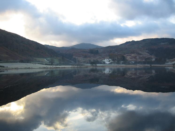
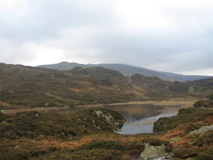
Watendlath Tarn
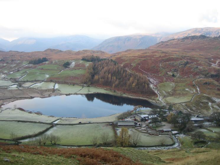
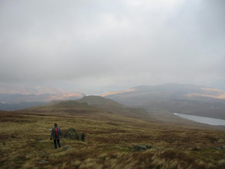
Looking back down on Watendlath from the path up High Tove
The view west over Grange Fell to the High Spy ridge from High Tove
High Seat to the north from High Tove's summit
The Helvellyn ridge with cloud hugging its top from High Tove's summit
The view south into the sun from High Tove's summit
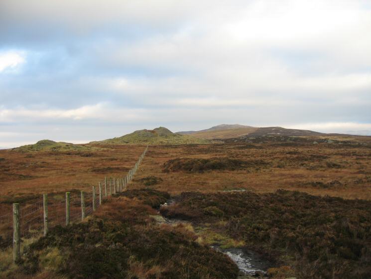
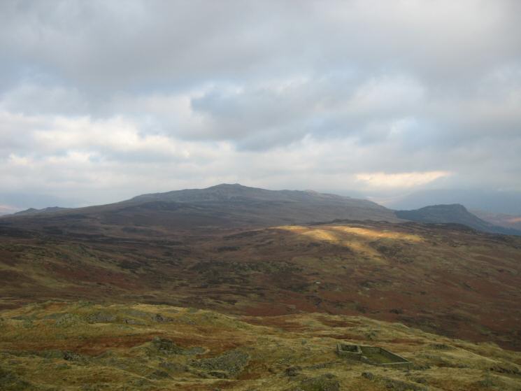
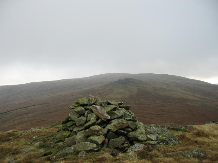
Looking back to Middle Crag with High Seat the high point on the skyline from Shivery Knott
Shivery Knott (the near rise) with High Seat on the skyline
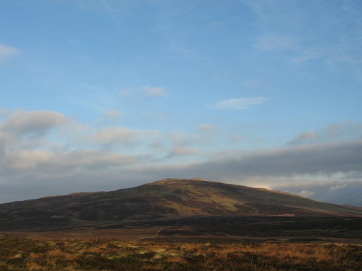
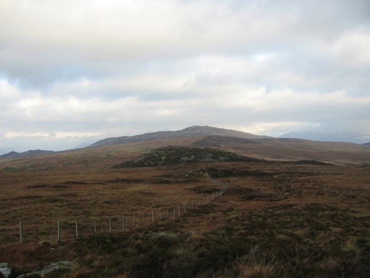
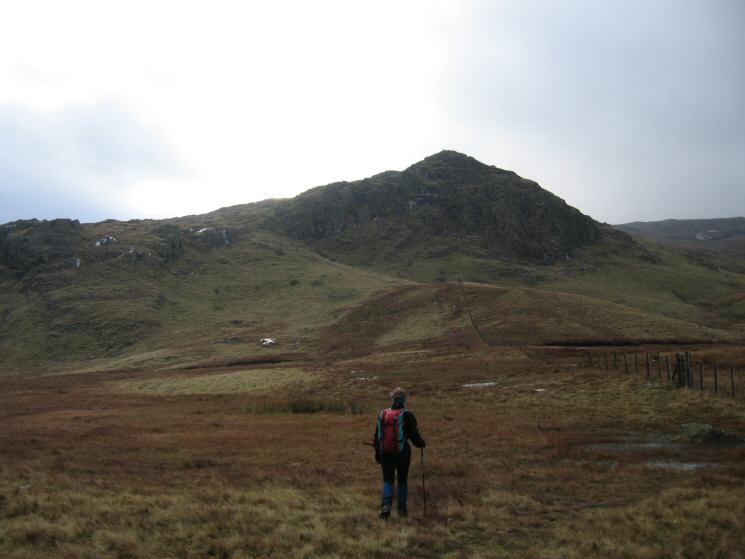
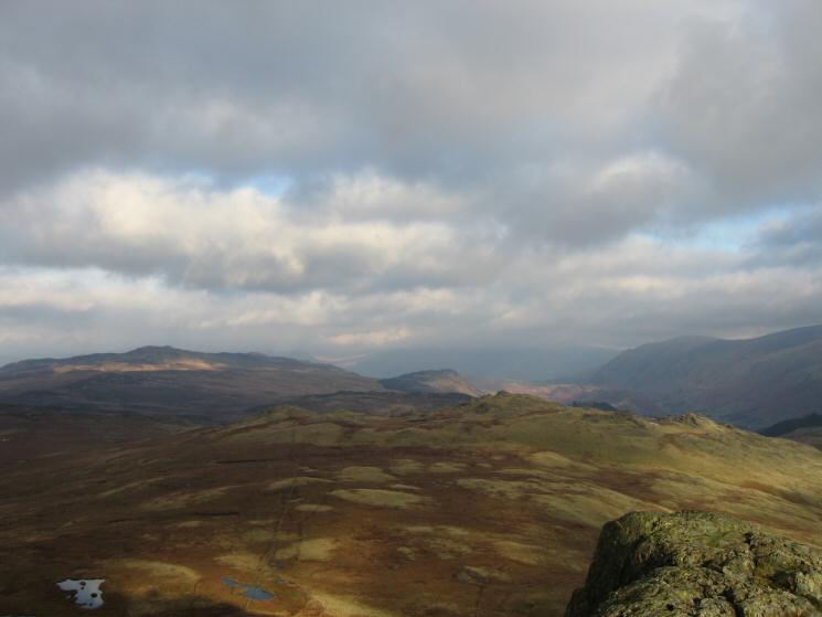
Bell Crags on the left with Ullscarf the high point above and behind Blea Tarn
Standing Crag, Ullscarf, High Saddle and Low Saddle from Bell Crags' summit
High Seat, a touch of sun on Armboth Fell with Raven Crag behind from Bell Crags' summit
Raven Crag from Bell Crags with Launchy Gill Tarn bottom right
Heading towards Standing Crag
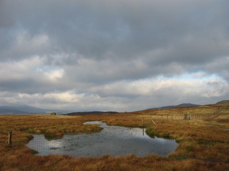
A nameless tarn below Standing Crag
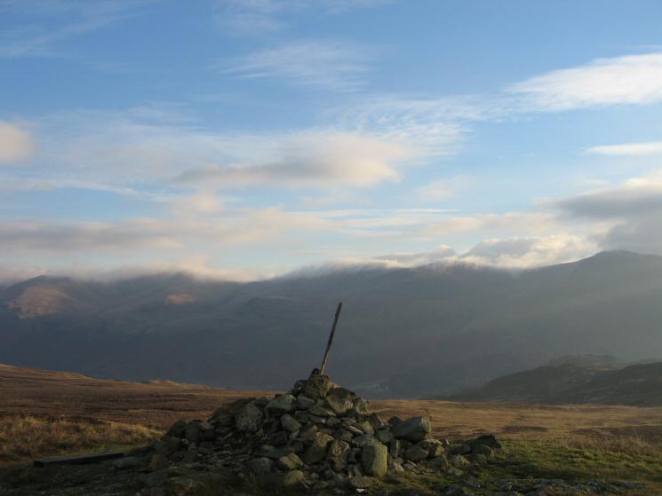
High Seat on the left, Raven Crag and Bell Crags (near right) from Standing Crag
Blea Tarn from Standing Crag
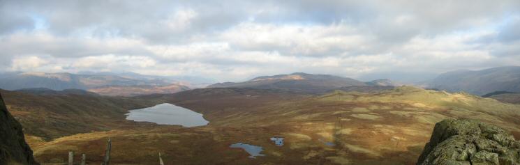
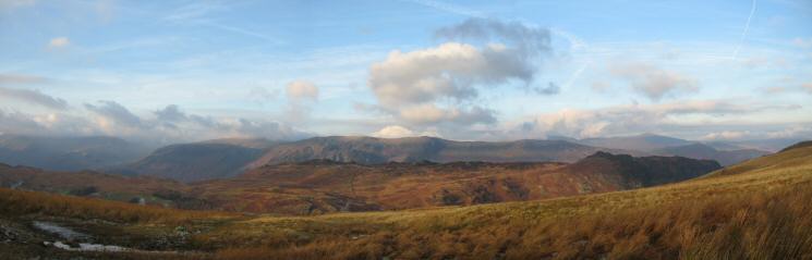
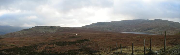
Northerly panorama from Standing Crag
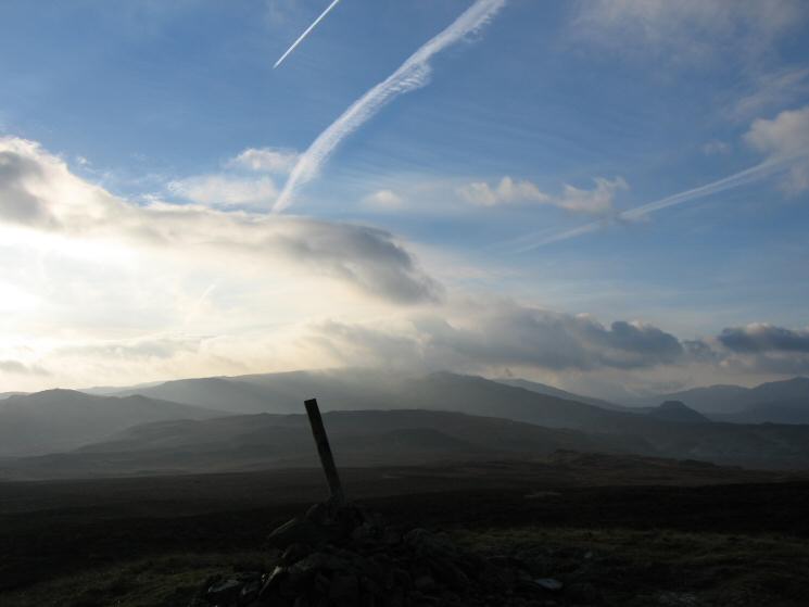
Helm Crag from Ullscarf
Heading for High Saddle with Low Saddle beyond and Blea Tarn on the right
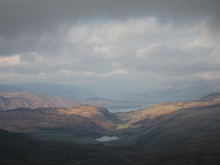
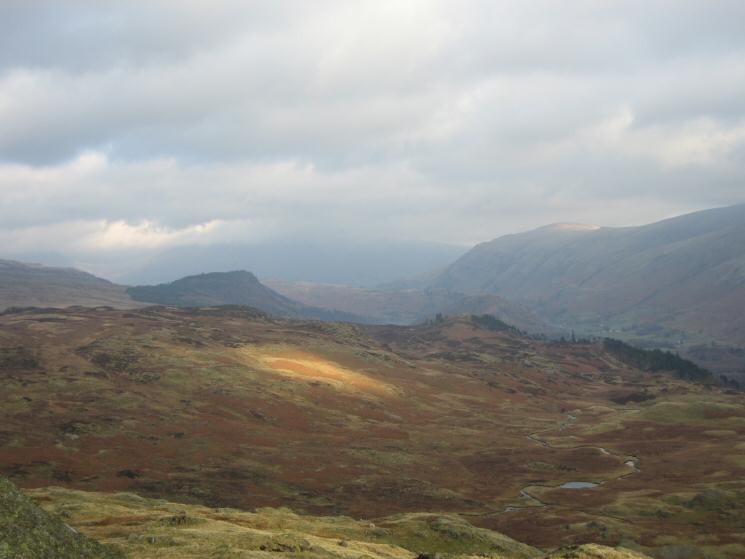
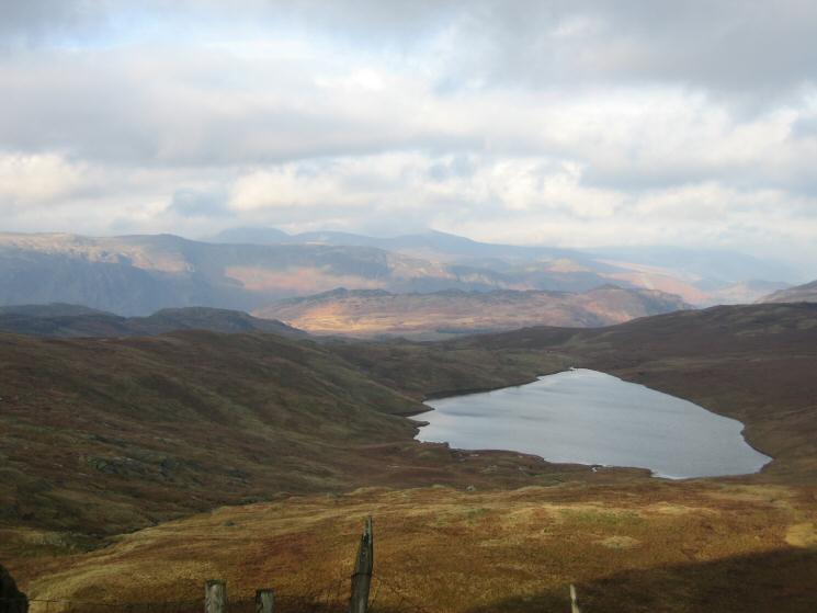
Watendlath Tarn with Derwent Water beyond from between High Saddle and Low Saddle
Looking back to High Saddle and Ullscarf from Low Saddle
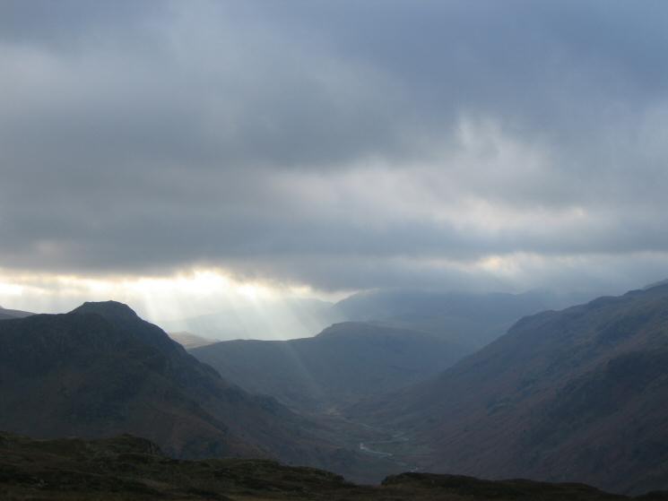
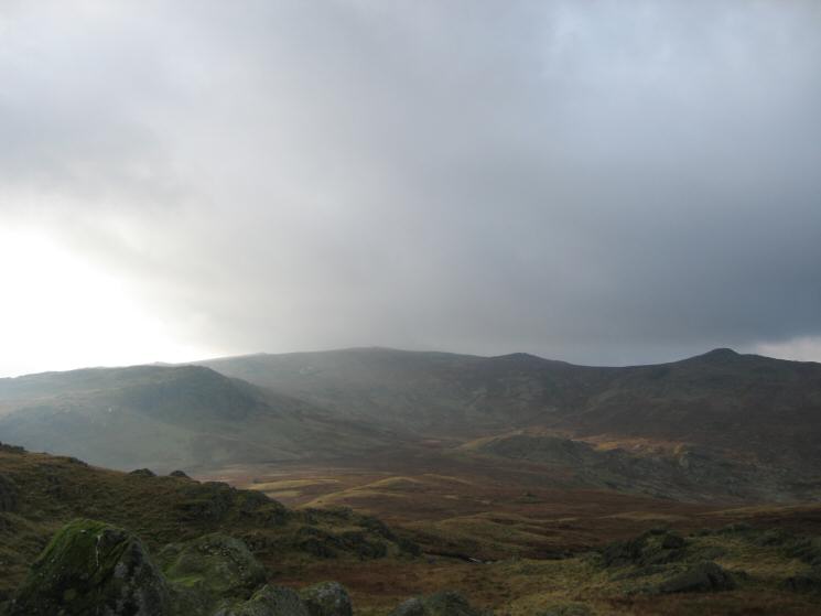
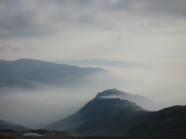
Langstrath with Eagle Crag and Sergeant's Crag on the left and the slopes of Rosthwaite Fell on the right
Dock Tarn
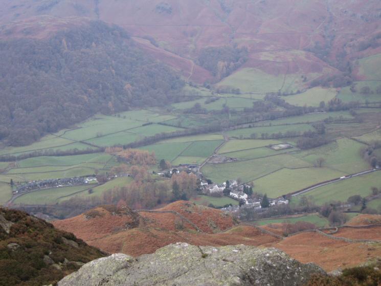
Looking down on Rosthwaite from Great Crag
Previous Walk: Mellbreak (Sat 19 Nov 2005)
Next Walk: Dunnerdale Fells and Great Stickle from Stonestar (Sat 26 Nov 2005)