Calf Crag and Steel Fell
Sat 21 May 2005
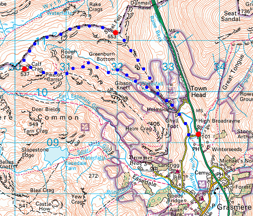
Route: Mill Bridge, Grasmere - Ghyll Foot - Greenburn valley - Greenburn Bottom - Pike of Carrs - Calf Crag - Steel Fell Tarn - Steel Fell - South East Ridge - Ghyll Foot - Mill Bridge
Distance: 5.50 miles
Ascent: 1,800ft
Time: 3 hours
With: Anne
Notes:
Broken cloud and sunshine
© Crown copyright. All rights reserved. Licence number AL100038401
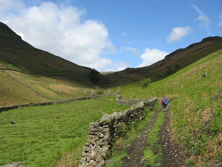
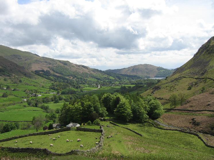
Starting up the Greenburn valley
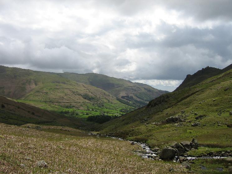
The view back down Green Burn with Helm Crag on the right
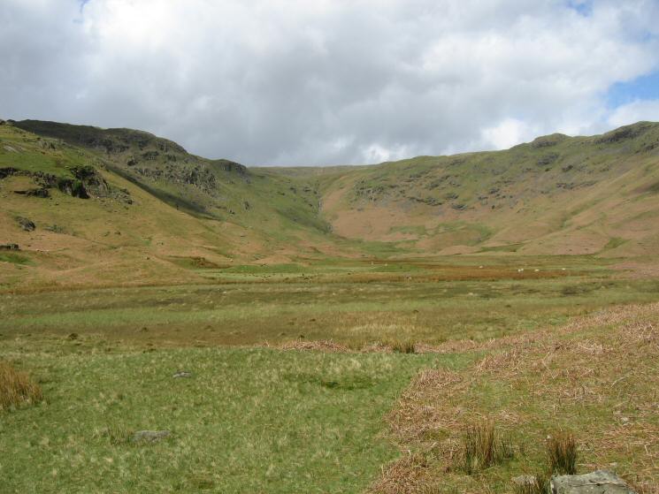
Greenburn Bottom
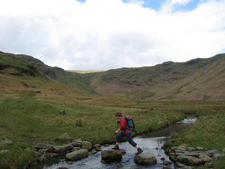
Stepping stones across Green Burn
The Gibson Knott and Helm Crag ridge
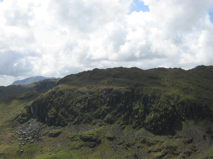
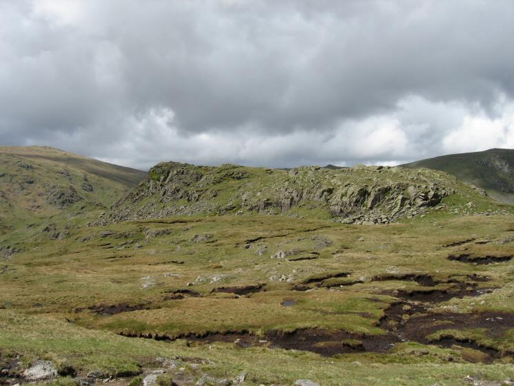
Looking across Far Easedale to Deer Bields Crag on Tarn Crag
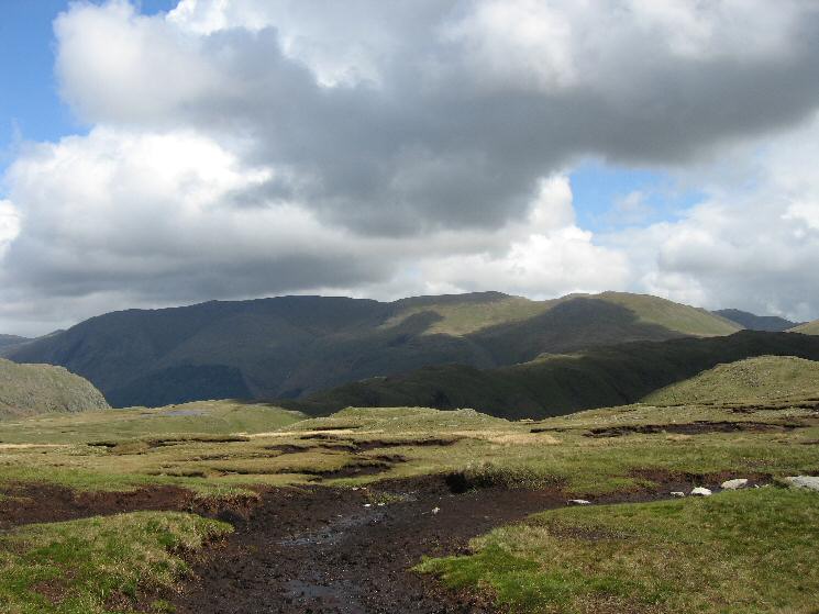
Steel Fell in shadow with the Helvellyn ridge, Seat Sandal and the Fairfield fells behind
Calf Crag's summit
The Helvellyn fells from near Calf Crag's summit
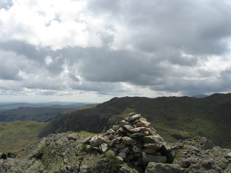
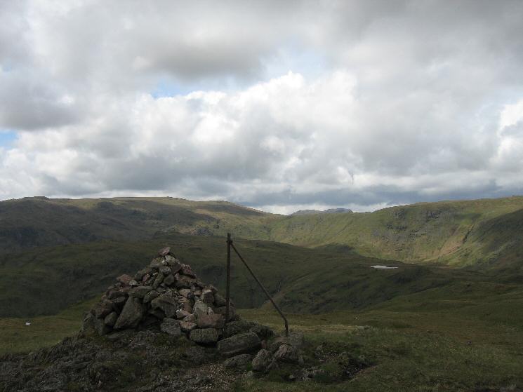
Calf Crag's summit cairn

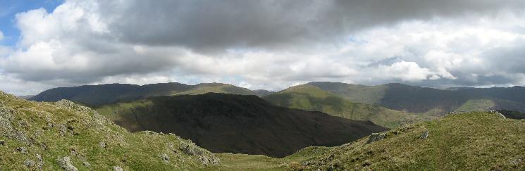
360 Panorama from Calf Crag's summit
Dollywaggon Pike on the left and Cofa Pike / Fairfield on the right as we head for Steel Fell
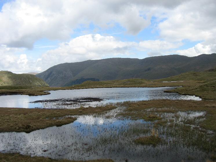
Helvellyn from the large nameless tarn on the wide ridge to Steel Fell
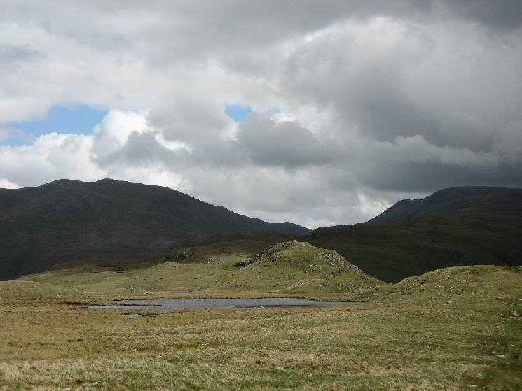
Looking down on Greenburn Bottom
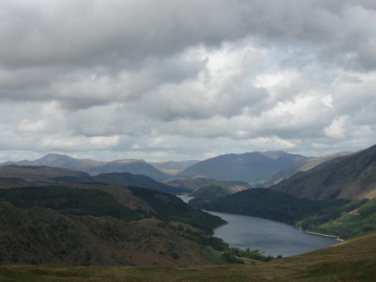
Thirlmere to the north with Skiddaw and Blencathra in the distance from Steel Fell
Looking towards High Raise and Greenup Edge from Steel Fell's summit cairn

360 Panorama from Steel Fell's summit
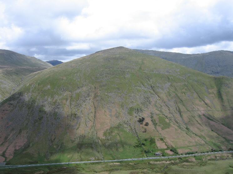
Seat Sandal seen across the A591 as it goes over Dunmail Raise
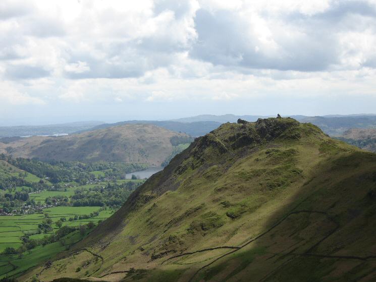
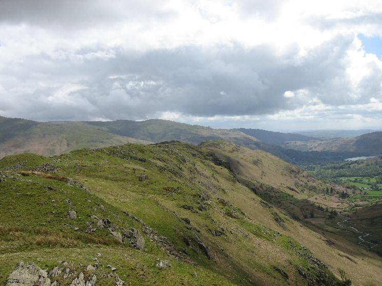
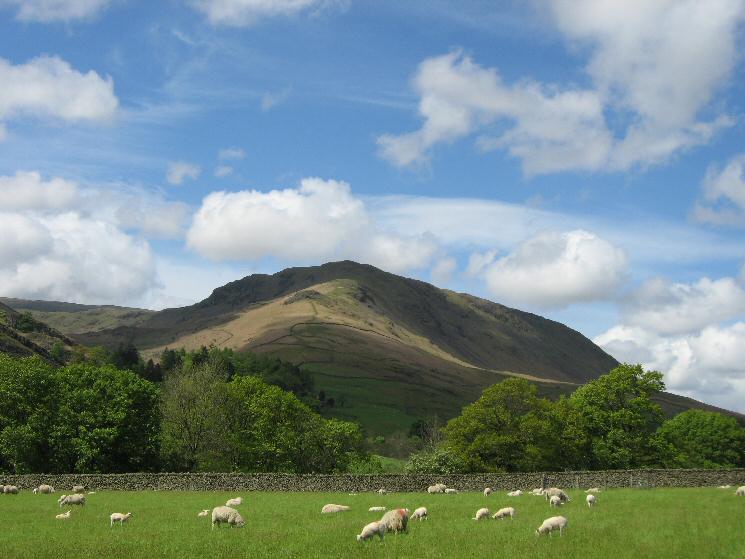
Helm Crag from Steel Fell's south east ridge
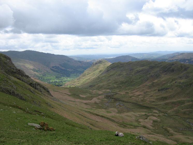
Looking down on the Grasmere valley from Steel Fell
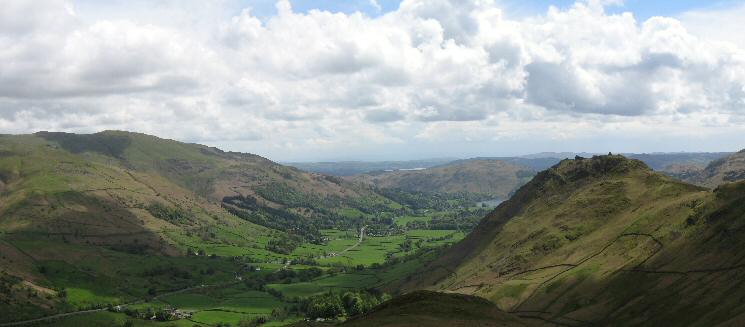
A glimpse of Grasmere with Loughrigg Fell beyond from the bottom of Steel Fell's south east ridge
Steel Fell's south east ridge from near Mill Bridge
Previous Walk: Branstree and Selside Pike (Sun 15 May 2005)
Next Walk: Hampsfell (Sun 22 May 2005)