Souther Fell
Sun 30 Jan 2005
Route: Mungrisdale - Souther Fell - River Glenderamackin - Mungrisdale
Distance: 4.75 miles
Ascent: 1,000ft
Time: 2 hours 50 minutes
With: Anne and Roger & Ann Hiley
Notes:
Windy on the summit ridge, cloud breaking to give some sunshine
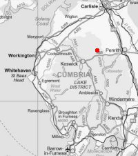
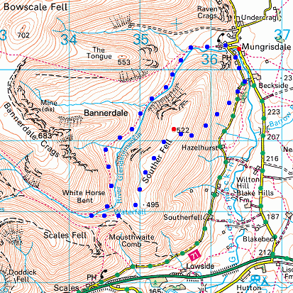
© Crown copyright. All rights reserved. Licence number AL100038401
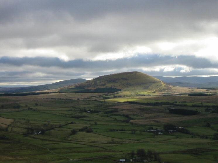
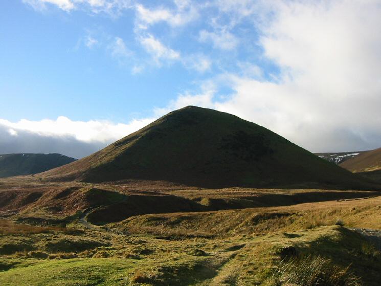
Great Mell Fell from the eastern slopes of Souther Fell
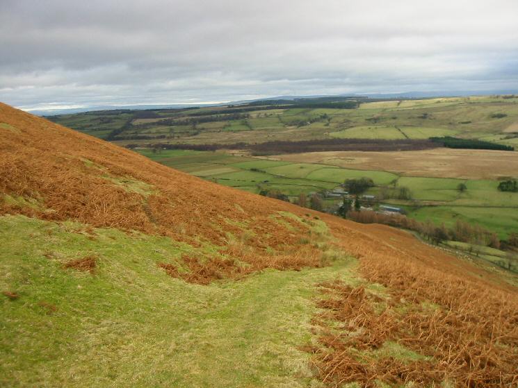
Looking back down the path up Souther Fell from Mungrisdale
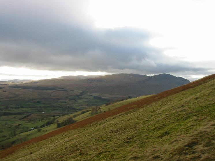
Looking south to Great Dodd and Clough Head from the eastern slopes of Souther Fell
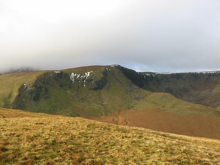
Bannerdale Crags from Souther Fell's summit
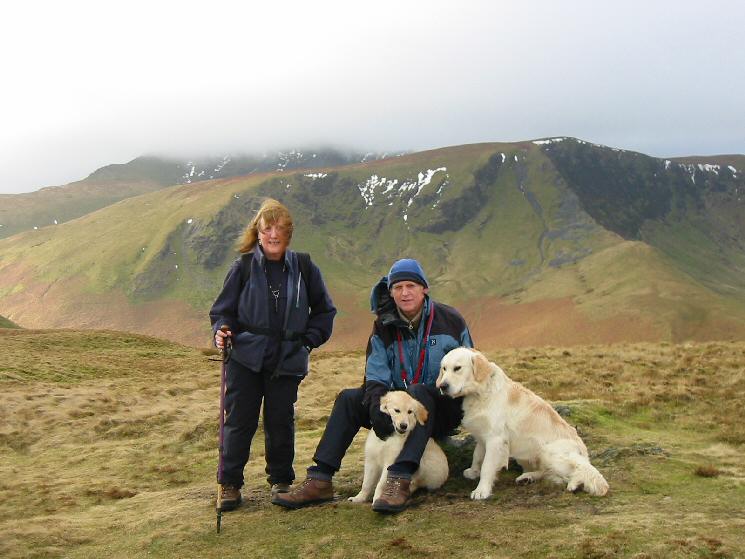
The Hiley family at Souther Fell's summit
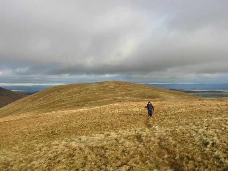
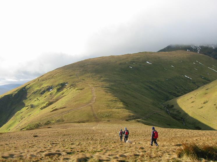
Looking back to Souther Fell's summit
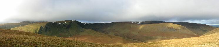
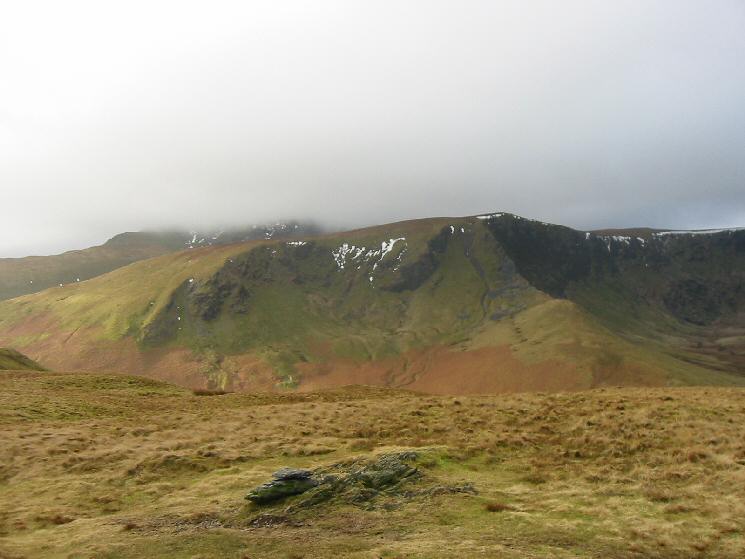
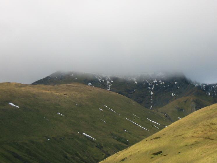
Bannerdale Crags and Bowscale Fell from Souther Fell
Bannerdale Crags from Souther Fell
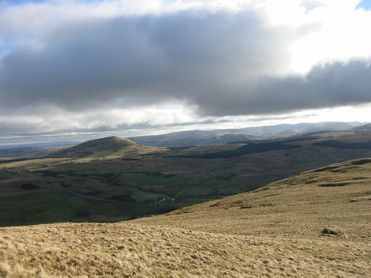
Looking to the southeast to Great Mell Fell with the High Street fells beyond from Souther Fell
Scales Fell
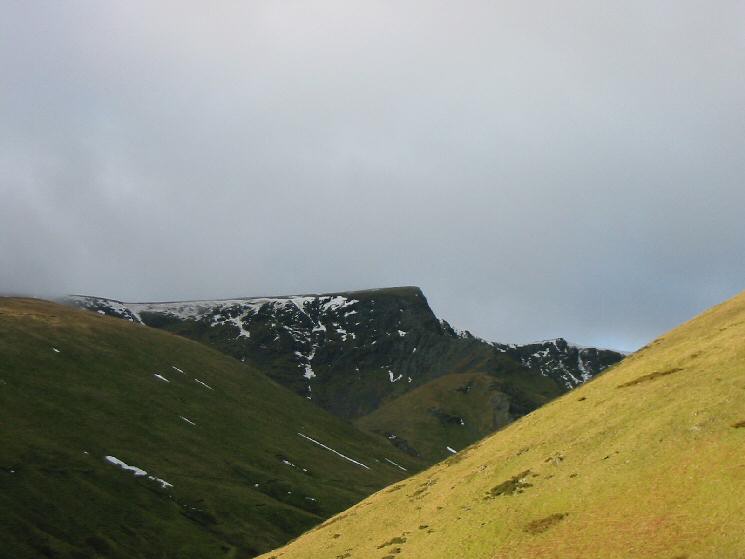
The top of Blencathra just in cloud
River Glenderamackin which loops nearly all the way round Souther Fell
Sharp Edge and Foule Crag, Blencathra
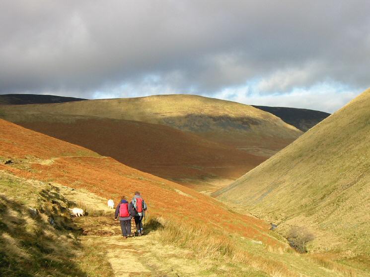
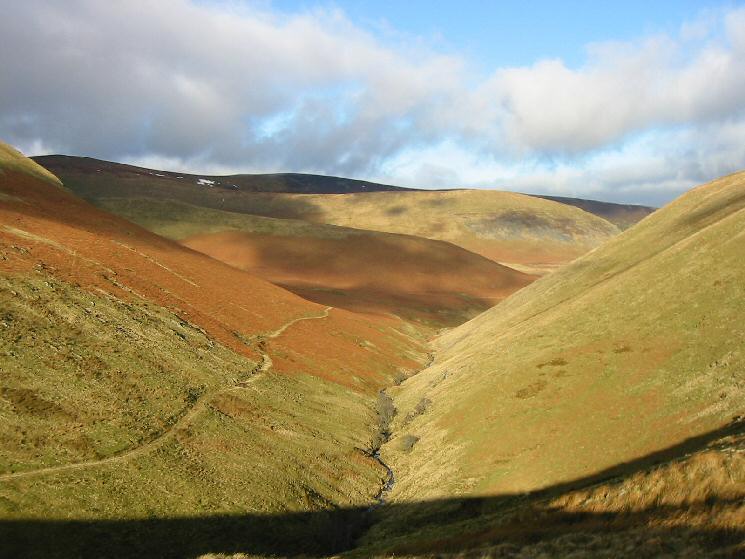
Heading down the valley with The Tongue ahead
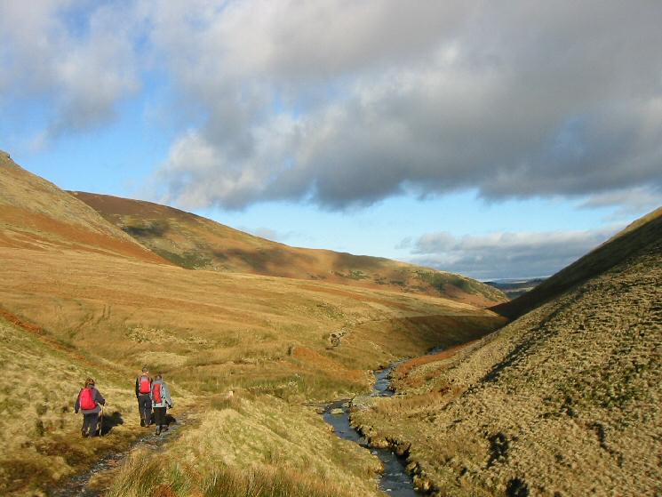
Heading down next to River Glenderamackin
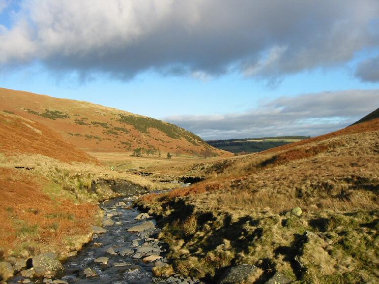
River Glenderamackin as it approaches Mungrisdale
The Tongue from near Mungrisdale
Previous Walk: Hayeswater and Pasture Beck skylines (Sun 23 Jan 2005)
Next Walk: Catbells (Sun 6 Feb 2005)