Great Dun Fell
Wed 17 Aug 2005
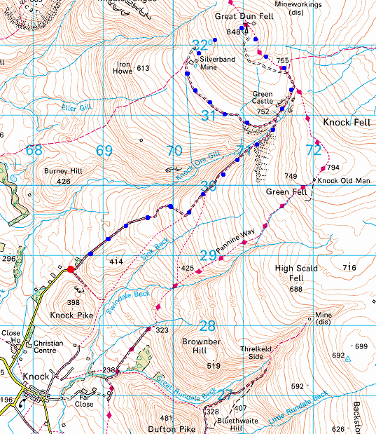
Route: Knock - Great Dun Fell road - Dunfell Hush - Pennine Way - Great Dun Fell - Silverband Mine - Great Dun Fell road - Knock
Distance: 7.75 miles
Ascent: 1,750ft
Time: 2 hours 45 minutes
With: On Own
Notes:
Dry, hazy Summers evening.
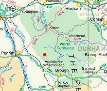
I started walking from the end of the public road / start of the bridleway outside the hamlet of Knock at grid reference NY 685 287.
70% of the walk was on tarmac on the road to the radar station at the summit of Great Dun Fell.
The Nuttell's guide to 'The Mountains of England and Wales' (volume 2 - England) suggests that you can drive up the private road and park at NY 714 309, saving a 5.0 mile round trip and 1,250ft of ascent, the road signs suggested otherwise.
© Crown copyright. All rights reserved. Licence number AL100038401
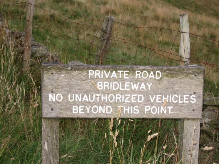
Road sign at the end of the public road / start of the private road and bridleway to Great Dun Fell
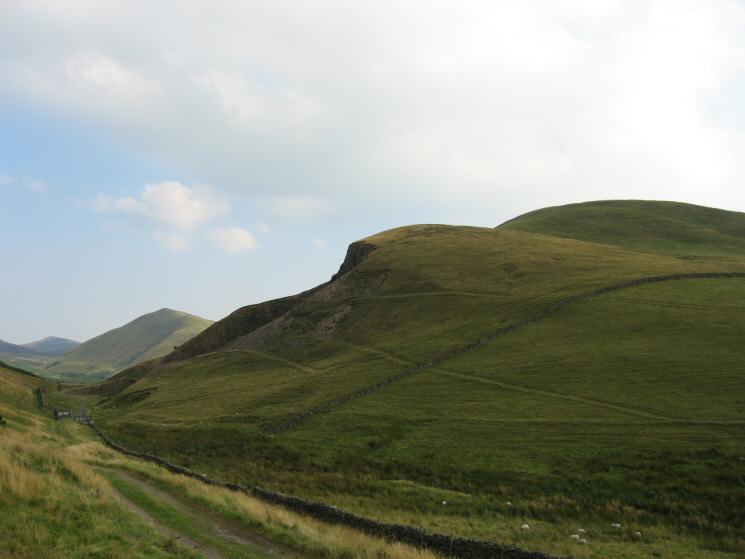
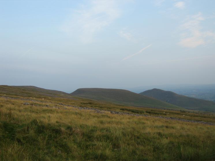
Left to right: Murton Pike, Dufton Pike and Knock Pike
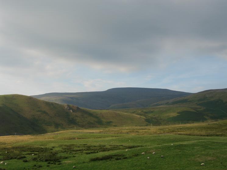
Cross Fell
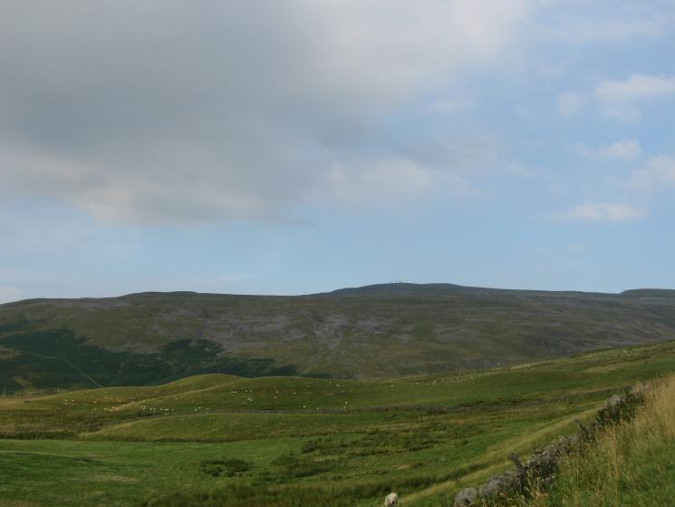
Great Dun Fell
Great Dun Fell and Green Castle from the road
Green Castle and Knock Ore Gill
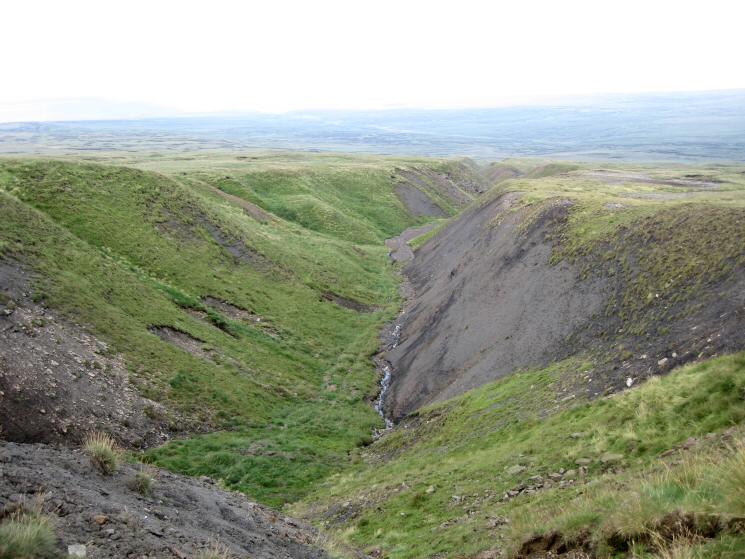
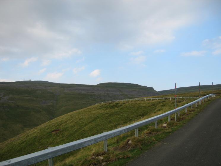
Dunfell Hush
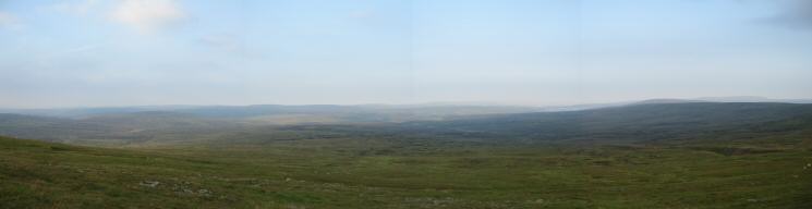
The view east from Great Dun Fell
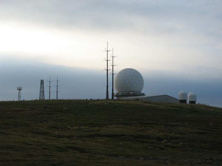
The radar station on the summit of Great Dun Fell
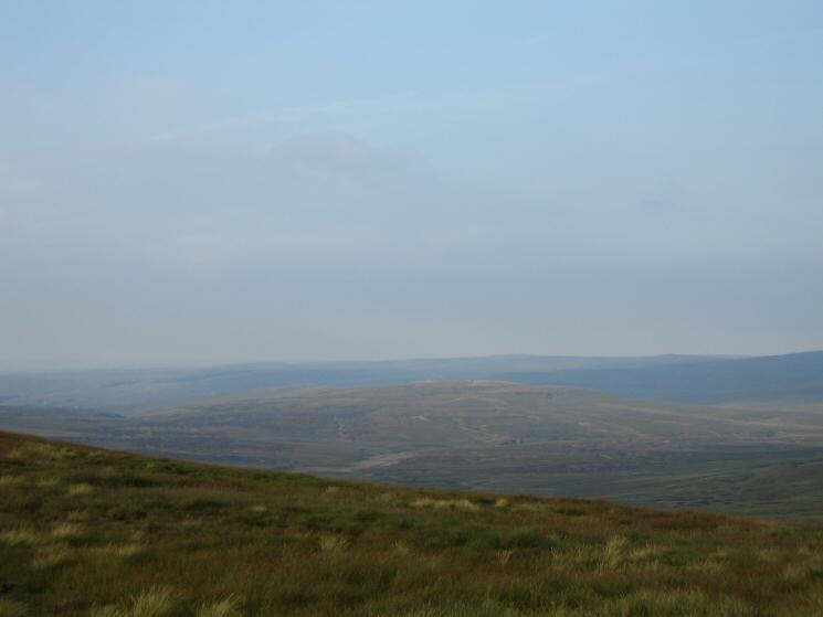
Looking north east to Round Hill from Great Dun Fell
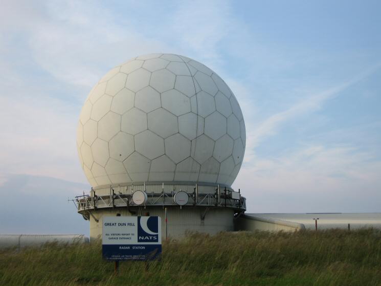
Great Dun Fell 'golfball'
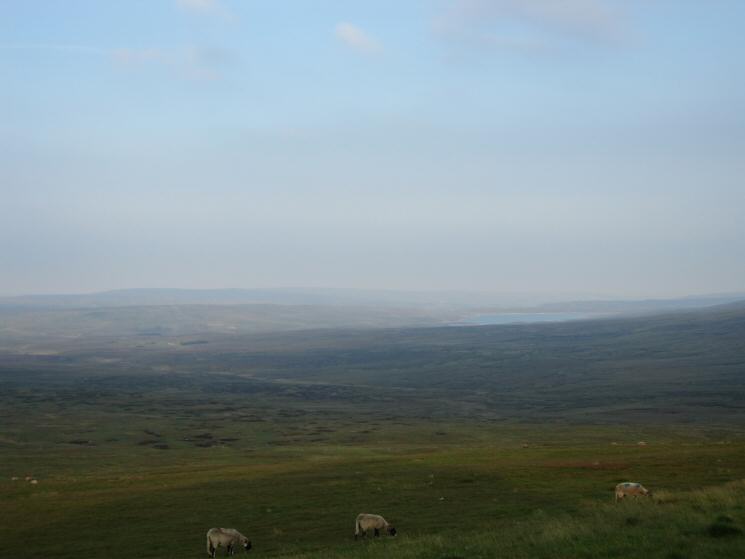
The view east from Great Dun Fell's summit with Cow Green Reservoir on the right
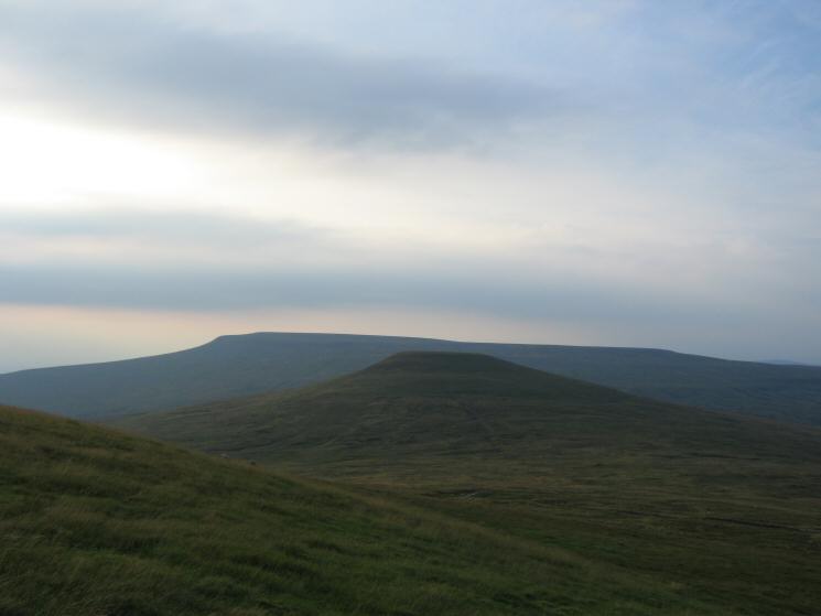
Little Dun Fell with Cross Fell behind from Great Dun Fell
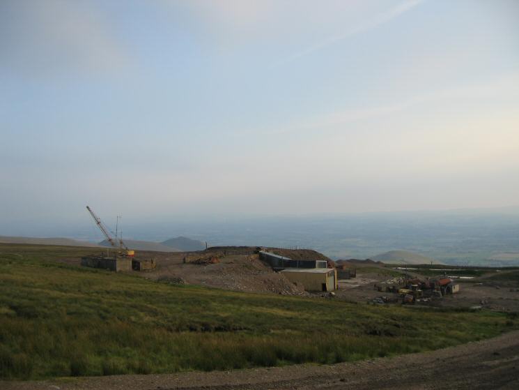
Silverband Mine, Great Dun Fell
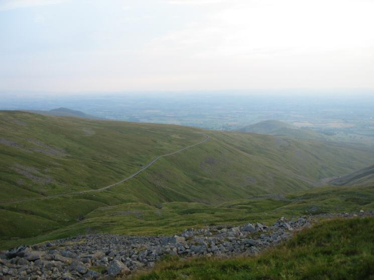
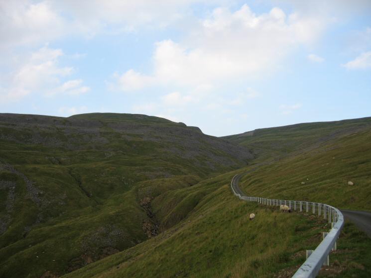
Looking down on the Great Dun Fell road
Brownber Hill and Dufton Pike from the Great Dun Fell road
Previous Walk: Rough Crag and Blea Water (Sat 13 Aug 2005)