Troutbeck Tongue
Wed 21 Jul 2004
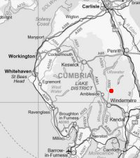
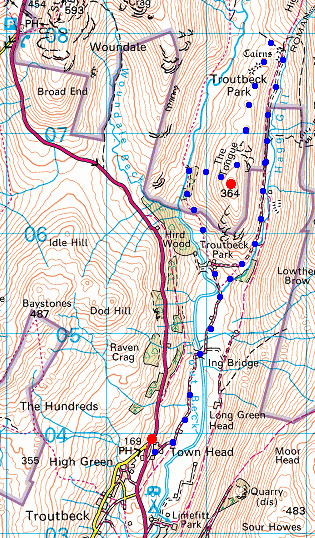
Route: Town Head, Troutbeck - Ing Lane - Hagg Bridge - Troutbeck Park Farm - slate bridge - Troutbeck Tongue - north ridge - Hagg Gill - Hagg Bridge - Ing Lane - Town Head
Distance: 6.50 miles
Ascent: 900ft
Time: 2 hours 30 minutes
With: On Own
Notes:
Overcast
© Crown copyright. All rights reserved. Licence number AL100038401
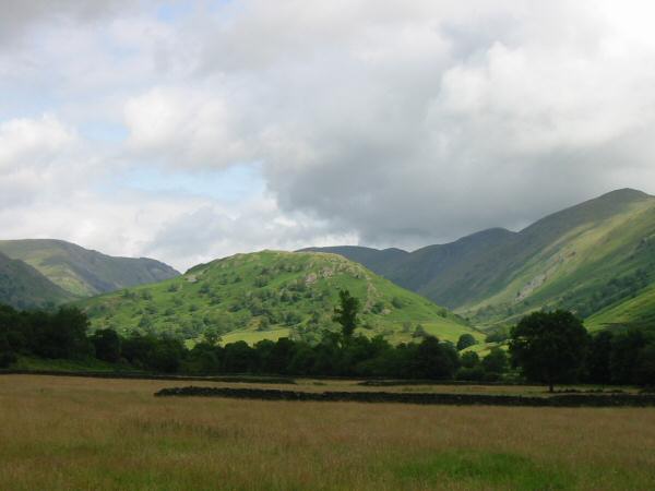
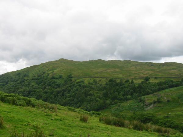
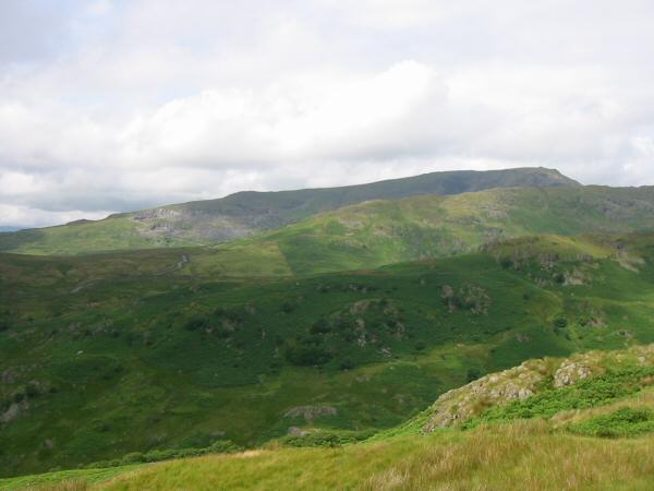
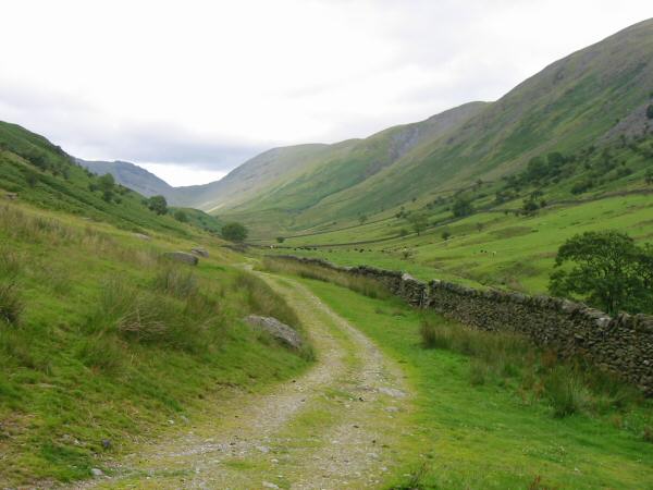
Troutbeck Tongue and the Ill Bell ridge from Ing Lane
Troutbeck Tongue (The Tongue, Troutbeck Park on OS maps)
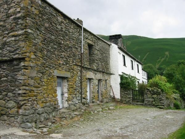
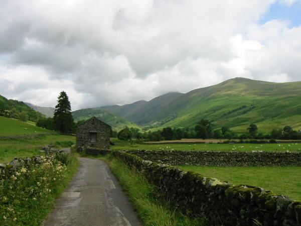
Troutbeck Park Farm
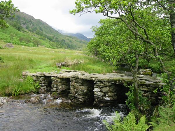
Slate bridge across Trout Beck
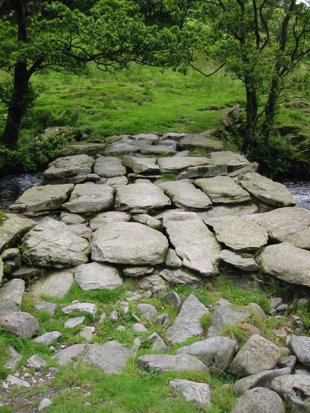
Slate bridge across Trout Beck
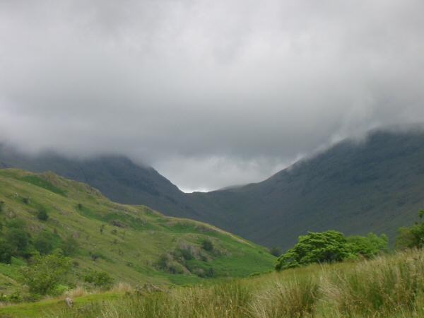
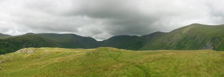
Threshthwaite Mouth
Wansfell from the ascent of Troutbeck Tongue
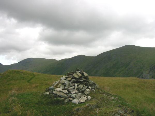
Thornthwaite Beacon, Froswick and Ill Bell from Troutbeck Tongue's summit

360 Panorama from Troutbeck Tongue's summit
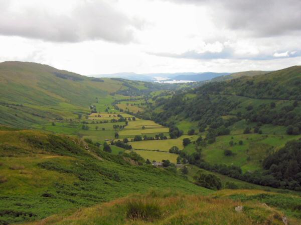
Looking south to the Troutbeck valley and Windermere
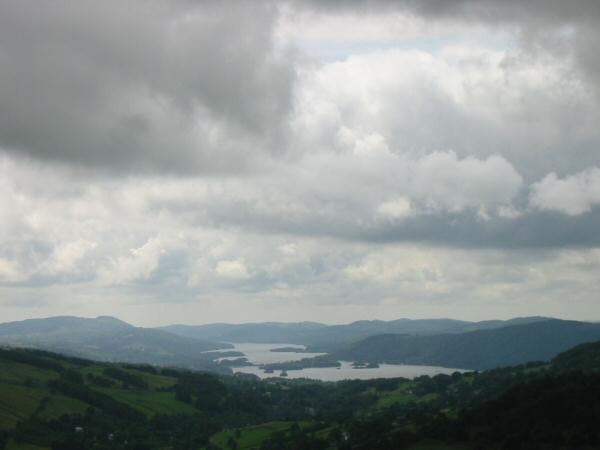
Zooming in on Windermere
Red Screes
The view north from Troutbeck Tongue
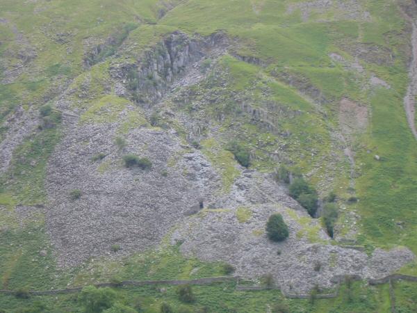
Old quarry workings on the flank of Ill Bell
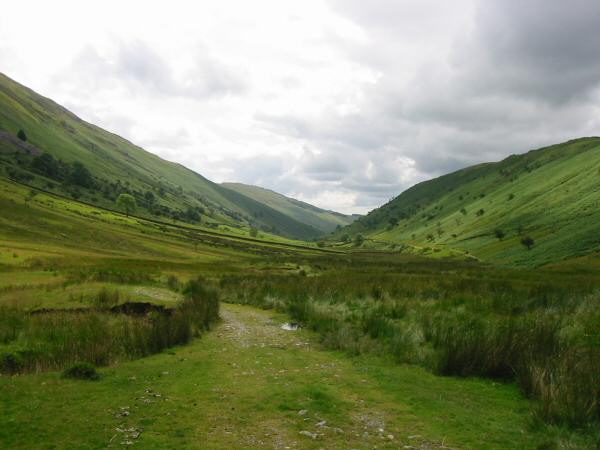
Looking down Hagg Gill
Looking up Hagg Gill
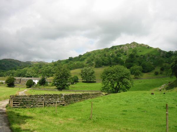
Troutbeck Park Farm and Troutbeck Tongue from near Hagg Bridge
Previous Walk: Fellbarrow and Low Fell (Tue 20 Jul 2004)
Next Walk: Southern Dunmail Circuit (Sat 24 Jul 2004)