Branstree and Selside Pike
Sat 17 Jul 2004
Route: Mardale Head - Gatescarth Pass - Branstree - Branstree Tarn - High Howes - Selside Pike - Old Corpse Road - Haweswater lakeside path - Mardale Head
Distance: 5.50 miles
Ascent: 1,800ft
Time: 2 hours 20 minutes
With: On Own
Notes:
Sunshine and broken cloud
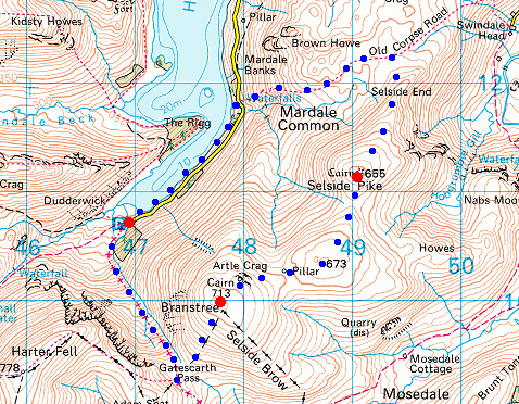
© Crown copyright. All rights reserved. Licence number AL100038401
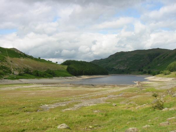
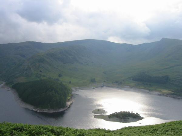
Haweswater from Mardale Head
The Rough Crag ridge leading up to High Street (left)
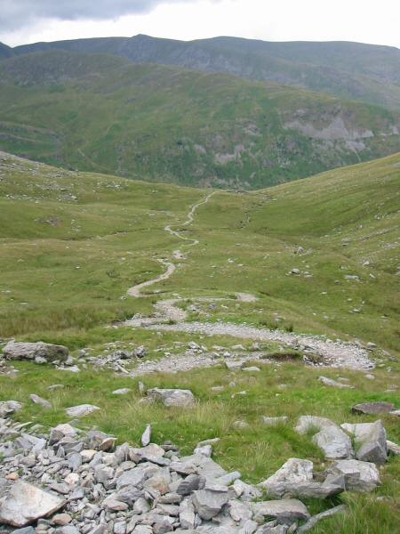
Looking back down the track on the way up to Gatescarth Pass
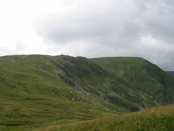
Harter Fell from the route up Branstree
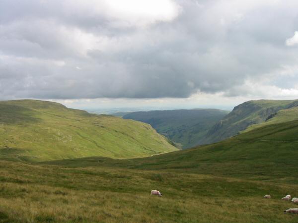
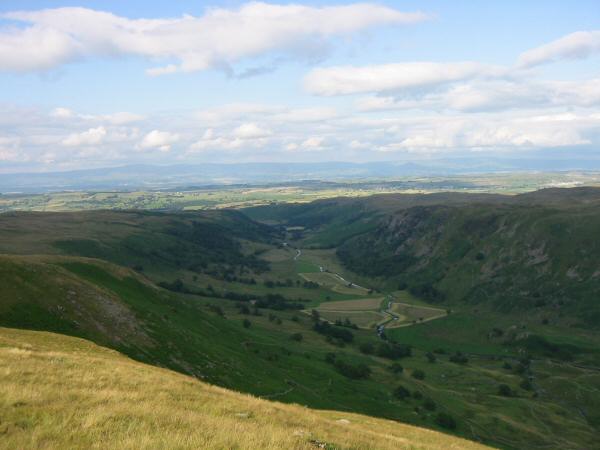
Looking south from Branstree to Longsleddale with Tarn Crag on the left and Goat Crag on the right
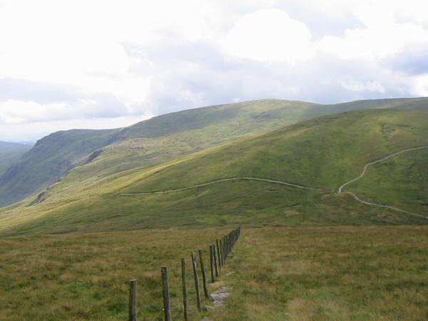
Looking back down the line of the fence to Gatescarth Pass. Kentmere Pike is the high point on the skyline
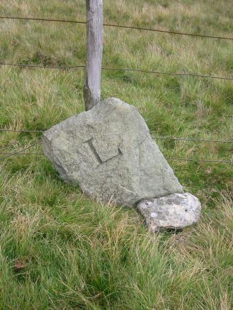
Boundary stone on Branstree, there is a 'H' on the other side
High Street from Branstree's summit
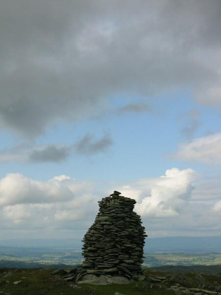
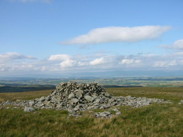
The higher cairn on Artlecrag Pike
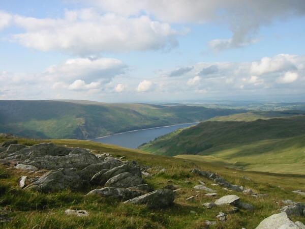
Haweswater from Branstree
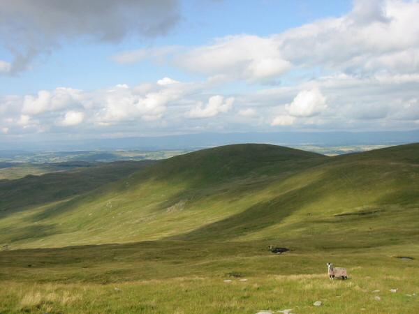
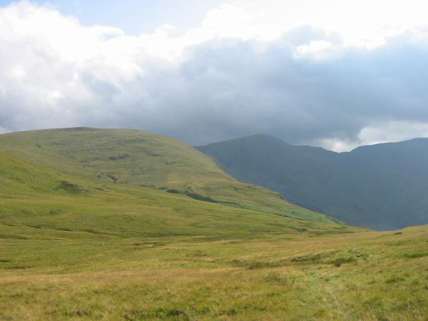
Selside Pike and the flanks of High Howes
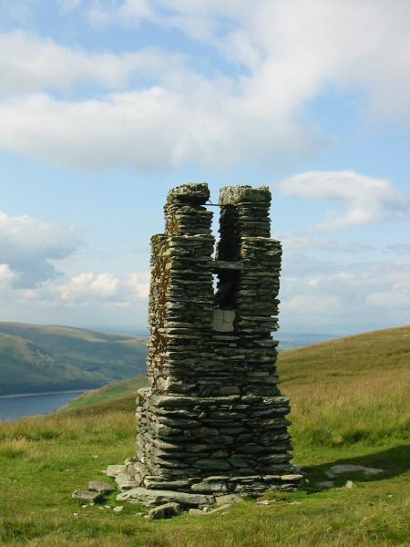
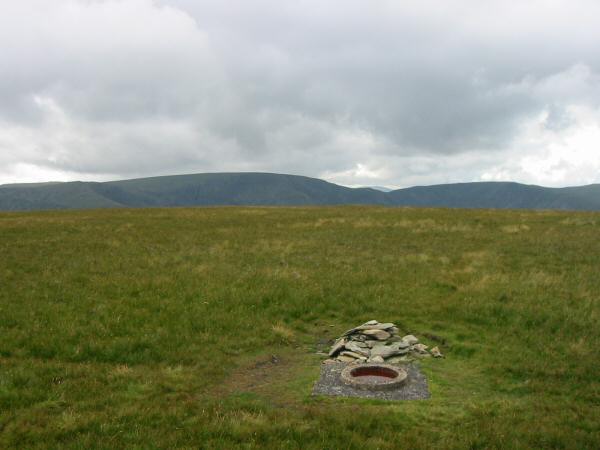
The survey post, Branstree
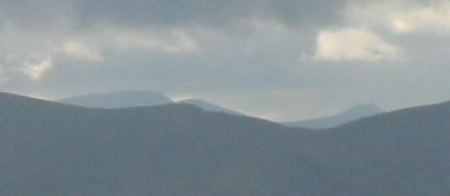
High Howes between Branstree and Selside Pike has a view of Helvellyn 9.5 miles away
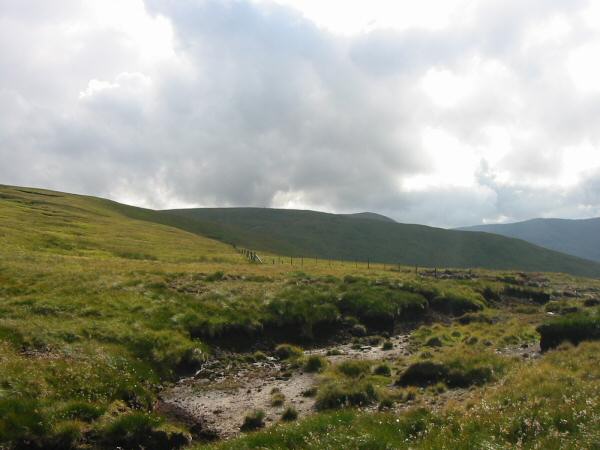
Captain Whelter Bog
Selside Pike's summit cairn with the Pennines in the distance

360 Panorama from Selside Pike's summit
Looking down into Swindale from Selside Pike
Branstree in sunshine and Harter Fell in shade
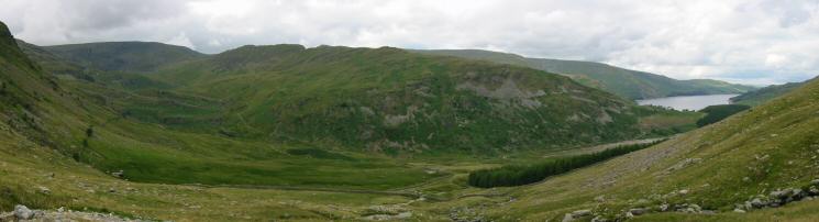
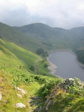
Harter Fell, Mardale Head, Mardale Ill Bell and The Rigg from the Old Corpse Road
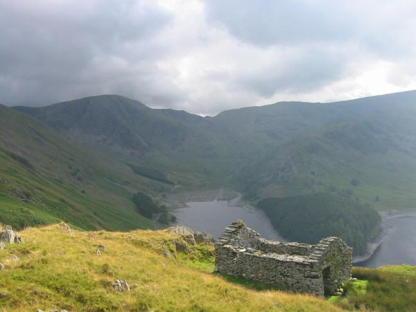
Looking across Haweswater to High Street and Riggindale
Mardale Head

Hopgill Beck
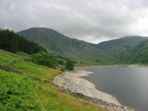
Heading back to Mardale Head along the Haweswater shore path
Previous Walk: Arthur's Pike and Bonscale Pike (Fri 16 Jul 2004)
Next Walk: Fellbarrow and Low Fell (Tue 20 Jul 2004)