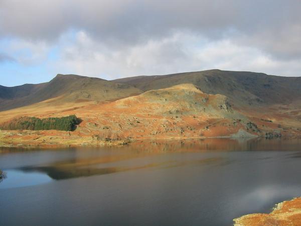
High Raise and High Street from Mardale Head
Sun 15 Feb 2004
Route: Mardale Head - Haweswater - Riggindale - southeast ridge - Low Raise - High Raise - Kidsty Pike - Rampsgill Head - Straits of Riggindale - High Street - Long Stile - Caspel Gate Tarn - Rough Crag - Mardale Head
Distance: 8.75 miles
Ascent: 2,700ft
Time: 4 hours 50 minutes
With: Anne
Notes:
Overcast, mild, light winds
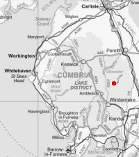
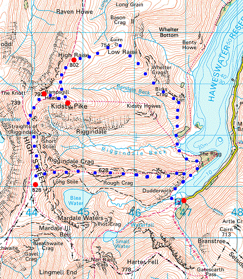
© Crown copyright. All rights reserved. Licence number AL100038401
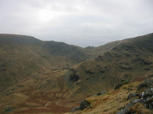
Looking across Haweswater to Kidsty Pike (left) and High Raise's southeast ridge (centre right), our line of ascent
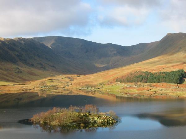
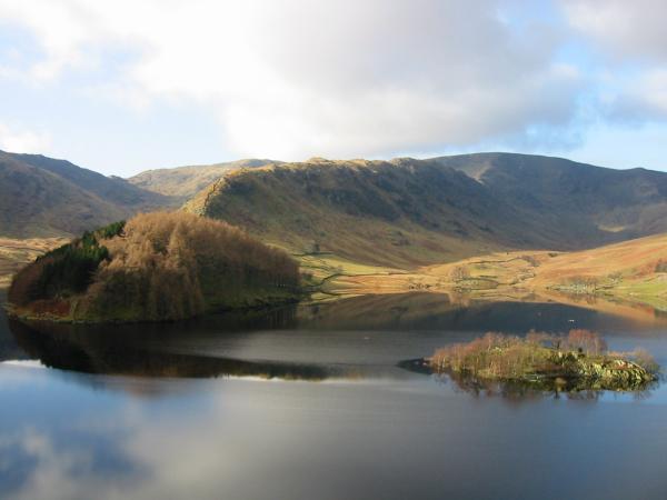
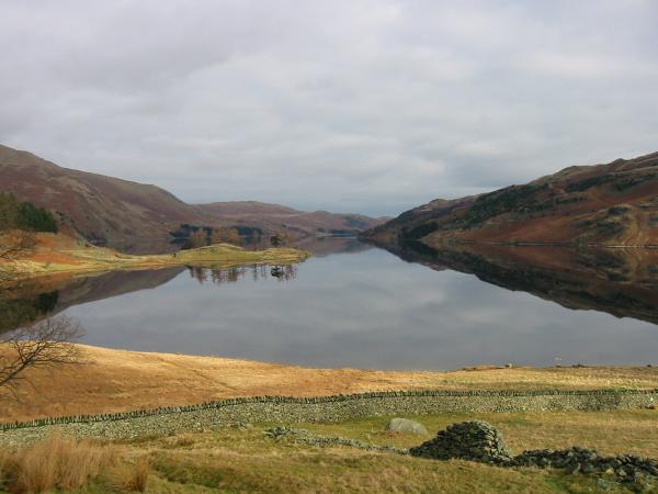
Riggindale with Rough Crag on the left and Kidsty Pike on the right. The island is called Wood Howe
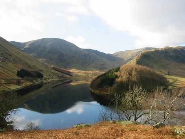
The Rigg, Rough Crag and Riggindale
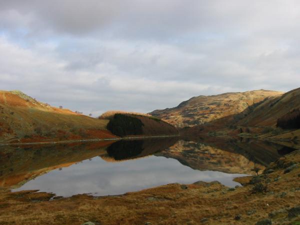
Harter Fell, Mardale Head and The Rigg
Haweswater from Mardale Head car park where we started our walk
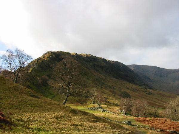
Rough Crag
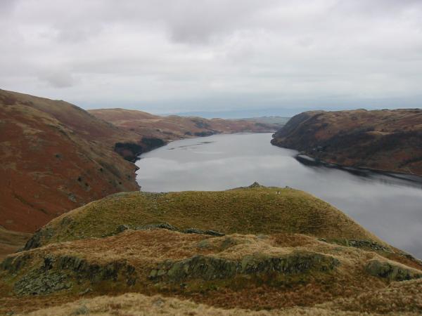
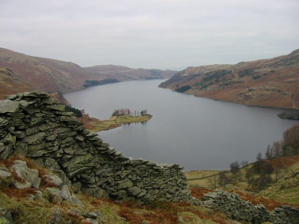
Looking down Haweswater from the path into Riggindale
Riggindale with Kidsty Pike on the right
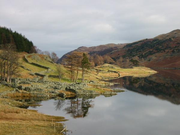
The ruins of Riggindale Farm
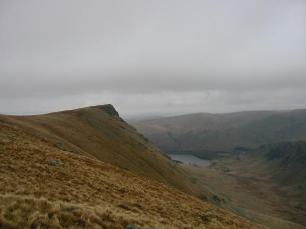
The British Fort on the southeast ridge of High Raise with Haweswater beyond
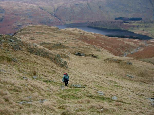
Ascending. No path on this part of the walk
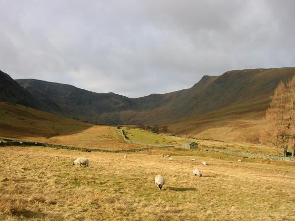
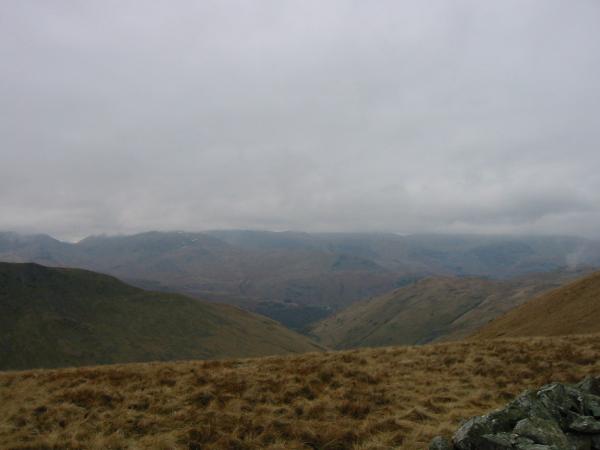
The view south
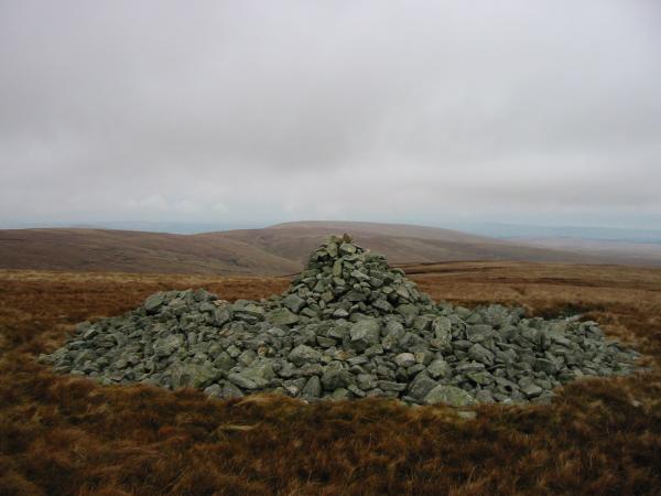
The tumulus and cairn on Low Raise
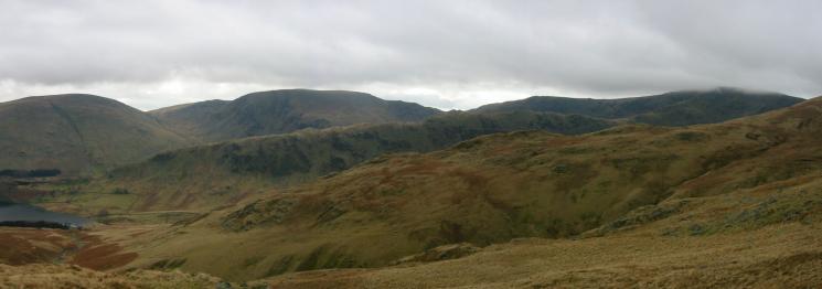
Looking towards Rampsgill Head from High Raise
Kidsty Pike

High Street and the Straits of Riggindale
The view west. The Helvellyn ridge in cloud
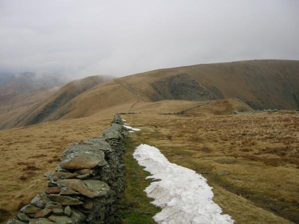
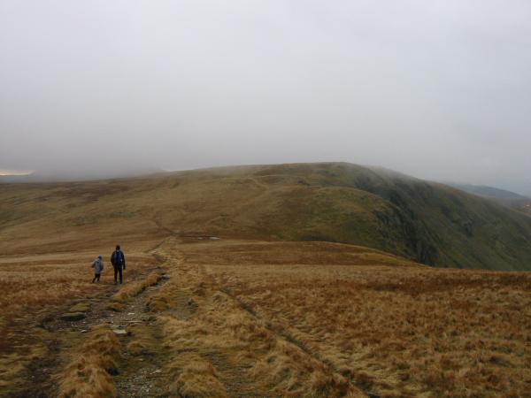
The last of the snow. Looking back north from our ascent of High Street
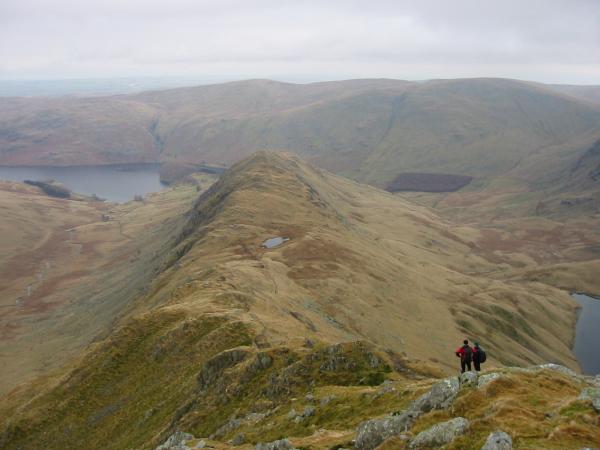
Rough Crag and Caspel Gate Tarn from Long Stile
Nan Bield Pass with Small Water just visible, centre left
Haweswater from the descent
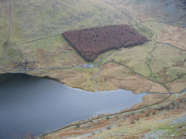
Looking down on Mardale Head
Previous Walk: Catbells (Sat 14 Feb 2004)
Next Walk: Harter Fell and Kentmere Pike from Longsleddale (Wed 18 Feb 2004)