Helvellyn via Striding and Swirral Edges
Sun 25 Jan 2004
Route: Glenridding village - Mires Beck path - Birkhouse Moor - Hole-in-the-Wall - High Spying How - Striding Edge - Helvellyn - Swirral Edge - Catstycam - east shoulder - Red Tarn Beck path - Greenside mines - Glenridding village
Distance: 9.00 miles
Ascent: 3,020ft
Time: 4 hours 50 minutes
With: Peter Burgess
Notes:
Mild, some small snow patches, the top of Helvellyn was in cloud
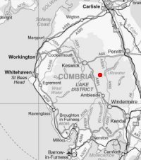
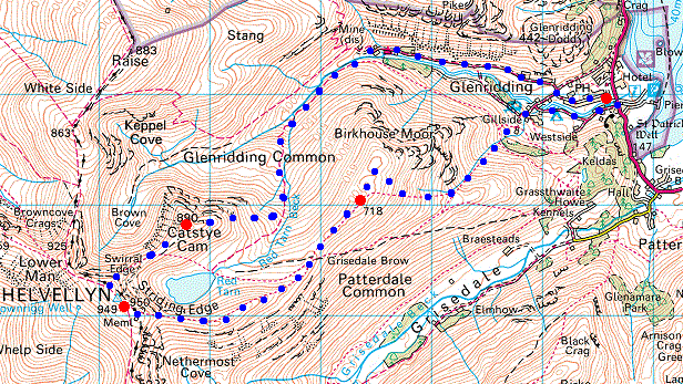
© Crown copyright. All rights reserved. Licence number AL100038401
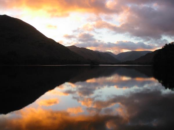
Ullswater sunrise on the way to Glenridding
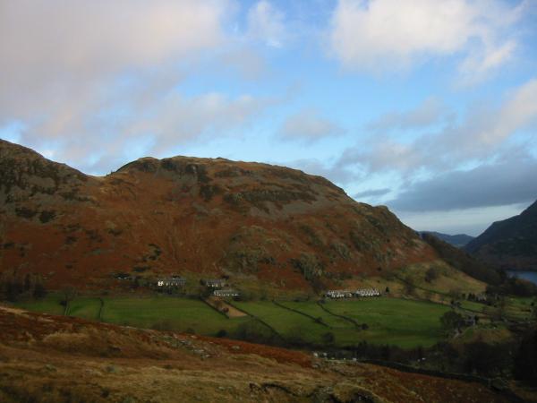
Glenridding Dodd from the Mires Beck path
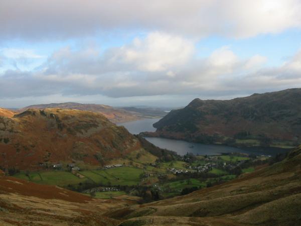
Looking back down on Glenridding
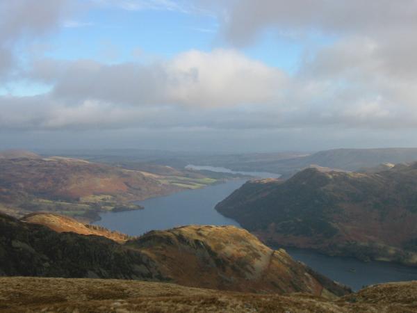
Ullswater from the north east top of Birkhouse Moor
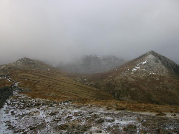
Helvellyn lost in cloud and the pointed top of Catstycam from Birkhouse Moor summit

Looking back down the ridge to Place Fell and down into Grisedale
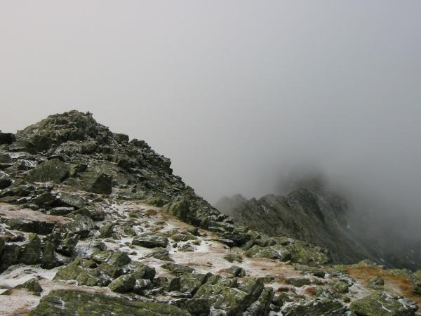
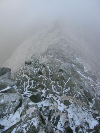
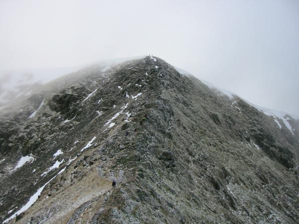
High Spying How and Striding Edge
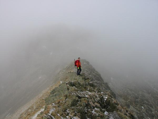
On Stridng Edge
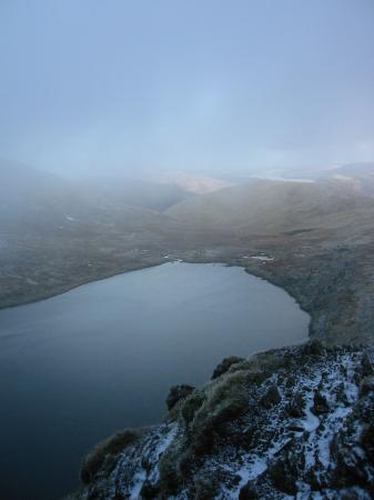
Red Tarn from Striding Edge
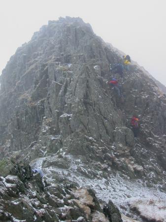
The short descent at the end of Striding Edge before the climb up to Helvellyn's summit
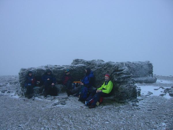
Helvellyn's summit shelter
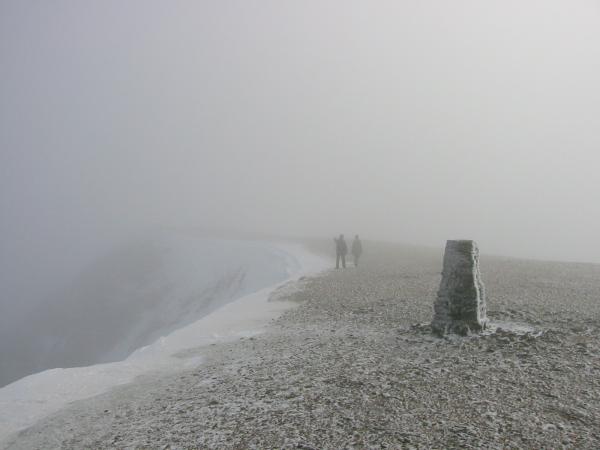
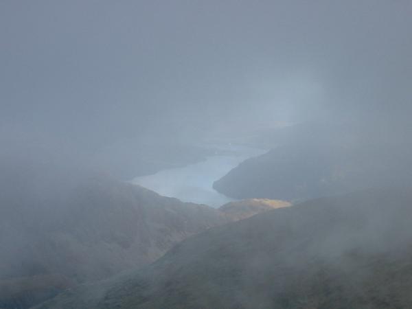
No views from Helvellyn's summit today
Swirral Edge
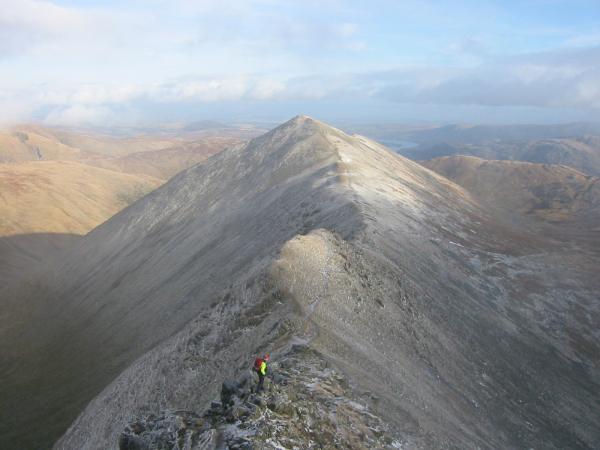
Swirral Edge and Catstycam

Red Tarn and Striding Edge from Swirral Edge
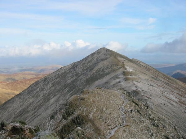
Catstycam
Looking back up Swirral Edge
Ullswater from Catstycam's summit!

Looking back to Catstycam
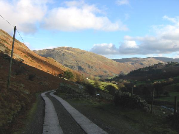
The Greenside mine road back to Glenridding
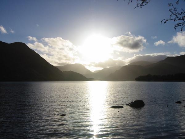
Ullswater on the drive home
Previous Walk: Brock Crags, Angle Tarn and Angletarn Pikes (Sun 18 Jan 2004)
Next Walk: Dove Crag from Ambleside (Thu 29 Jan 2004)