Blencathra
Sat 17 Jan 2004
Route: Scales - Scale Fell - Blencathra - Gategill Fell Top - Knowe Crags - Blease Fell - above Threlkeld - Scales
Distance: 6.00 miles
Ascent: 2,250ft
Time: 4 hours 15 minutes
With: Anne
Notes:
Snow on the ground, top in cloud most of time
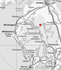
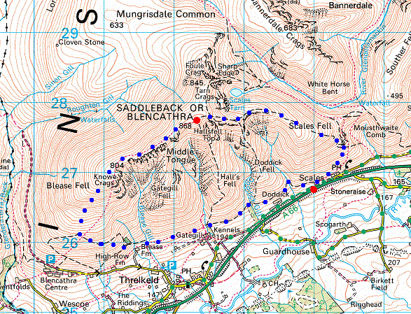
© Crown copyright. All rights reserved. Licence number AL100038401
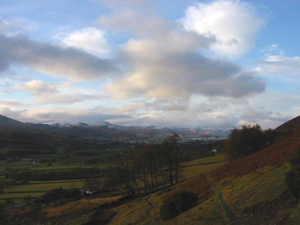
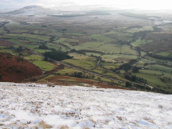
The view west as we head out of Scales. No snow in the valley
Souther Fell
Looking back down on the A66 with Great Mell Fell top left
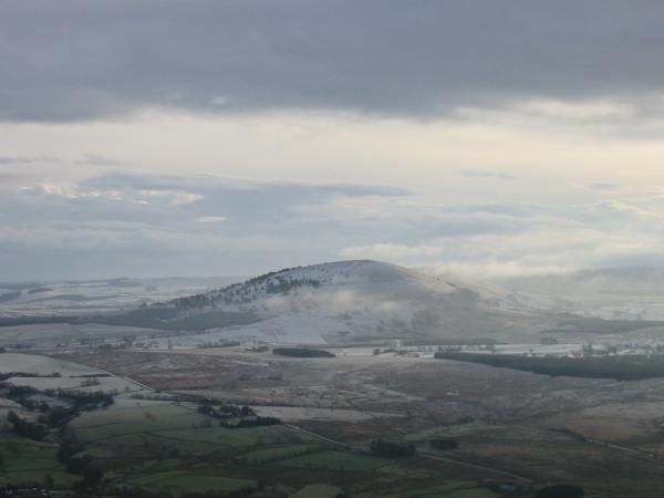
Great Mell Fell
Looking up Scale Fell with Doddick Fell the ridge on the left and Blencthra summit half in cloud above
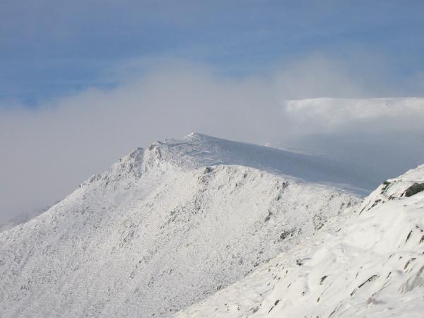
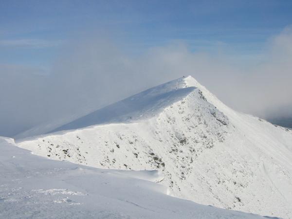
Blencathra's summit briefly out of cloud
St. John's in the Vale from the ascent of Scale Fell
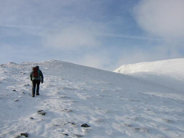
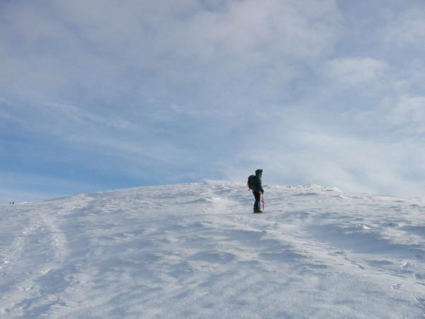
Heading up Scale Fell. The top was in cloud when we reached it
Looking across to Sharp Edge
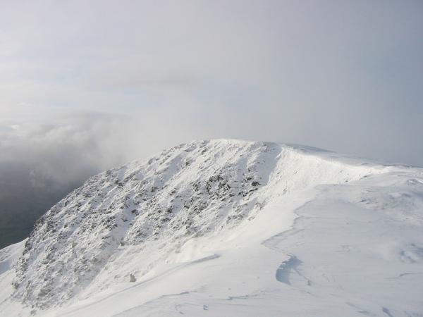
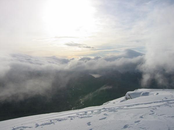
Looking down on Gategill Fell during a break in the cloud
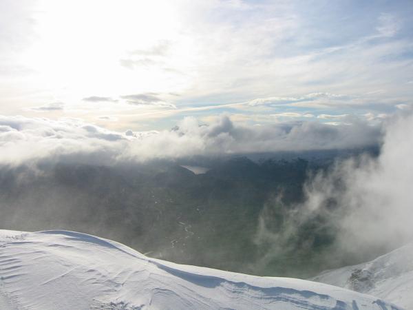
Thirlmere just visible during another break in the cloud
Snow and blue sky, what more could you ask for?
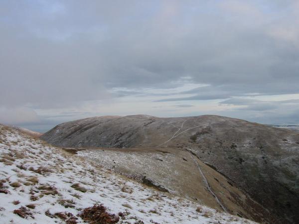
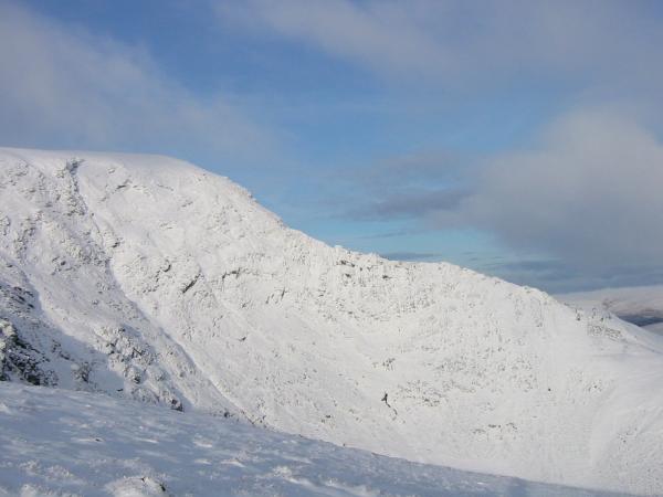
Knowe Crags
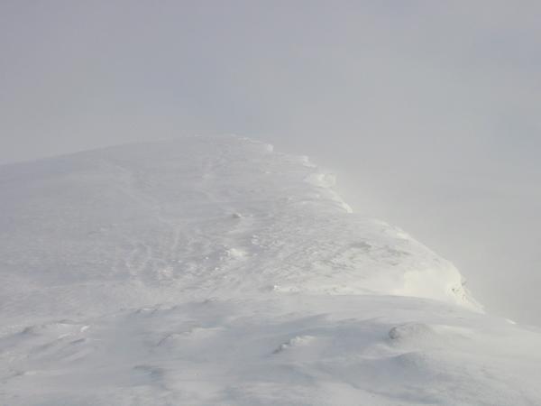
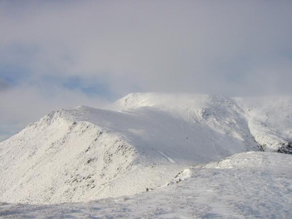
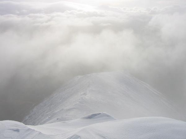
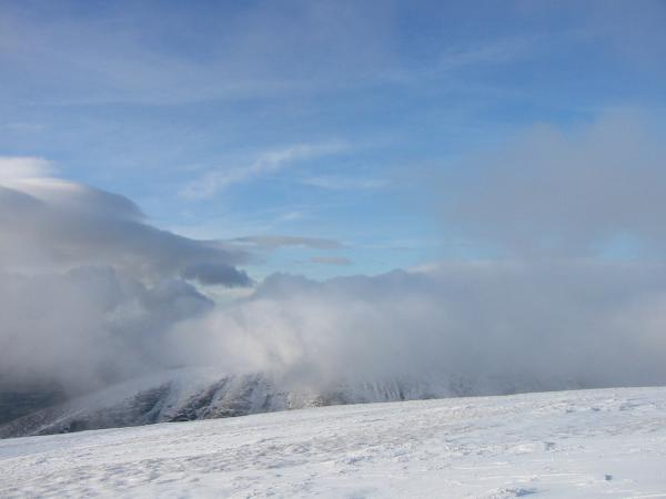
...and then the cloud came in again, Blencathra
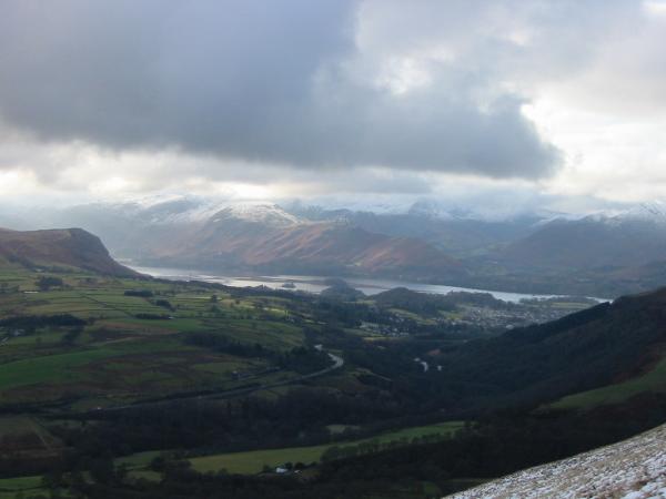
St John's in the Vale and Thirlmere
Looking back to Gategill Fell Top from Blease Fell
No views of Skiddaw today
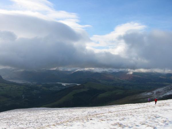
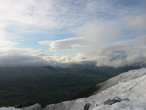
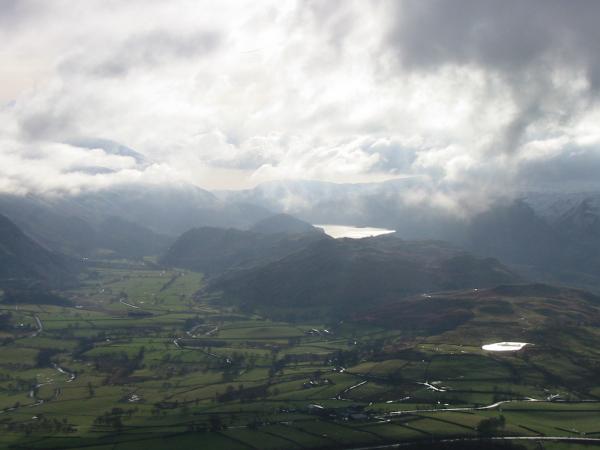
Derwent Water, the north western fells and a snow free Latrigg
St John's in the Vale, Thirlmere, High Rigg and Tewet Tarn
Derwent Water from the descent off Blease Fell
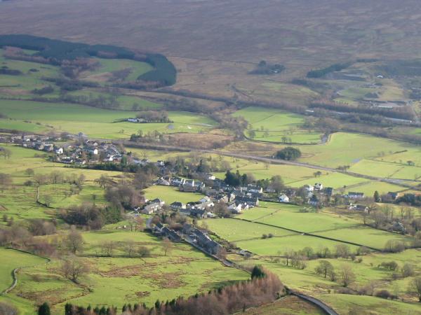
Looking down on Threlkeld
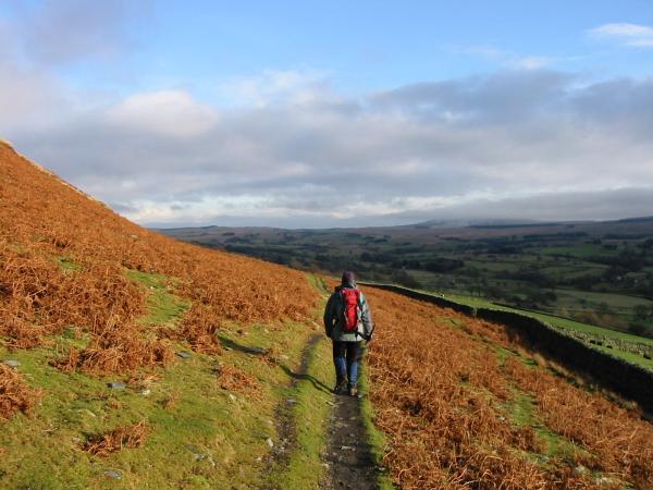
The path under Hall's Fell as we head back to Scales
Previous Walk: Walla Crag (Sun 11 Jan 2004)
Next Walk: Brock Crags, Angle Tarn and Angletarn Pikes (Sun 18 Jan 2004)