Hayeswater Horizon
Mon 8 Dec 2003
Route: Hartsop - Hayeswater - Gray Crag - Thornthwaite Crag - High Street - The Knott - Hayeswater - Hartsop
Distance: 7.75 miles
Ascent: 2,550ft
Time: 3 hours 15 minutes
With: On Own
Notes:
Blue sky, sunshine, -4c at start of walk (09:45)
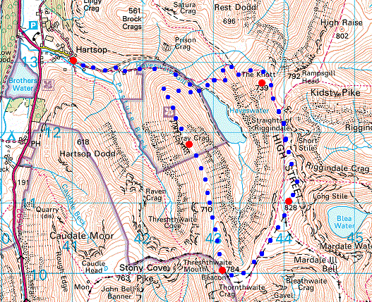
© Crown copyright. All rights reserved. Licence number AL100038401
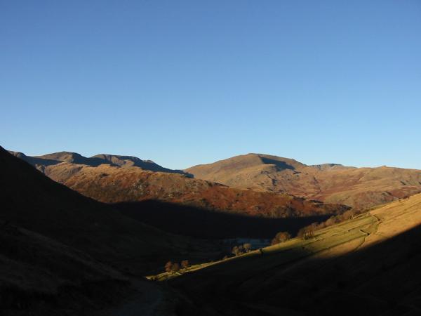
The wooded Hartsop Above How ridge with Fairfield and Saint Sunday Crag behind
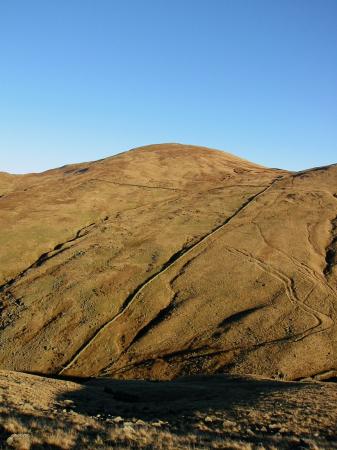
The Knott above Hayeswater
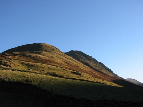
Rest Dodd
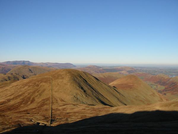
Fairfield, Saint Sunday Crag and the Helvellyn range from Gray Crag's northern ridge
Saint Sunday Crag, Helvellyn and Catstycam
Looking down on Hartsop
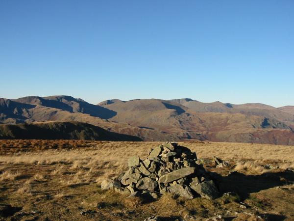
Gray Crag summit cairn

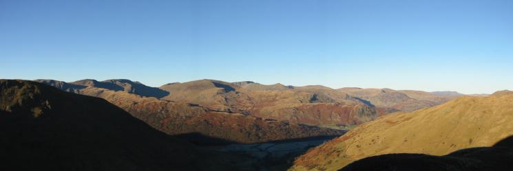
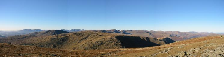
360 Panorama from Gray Crag's summit
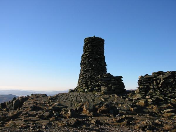
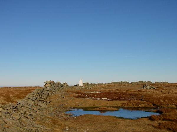
Thornthwaite Beacon
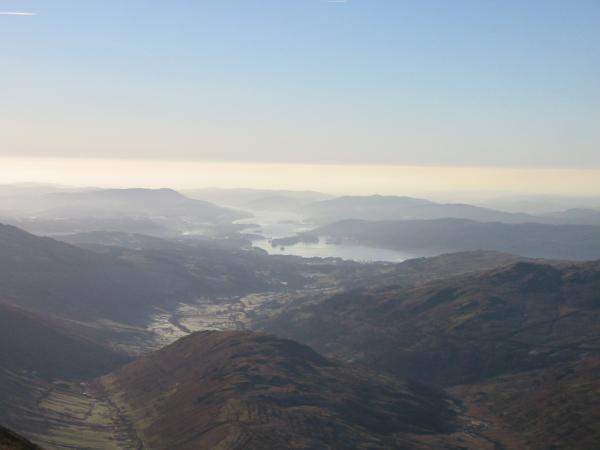
Looking over Troutbeck Tongue to Windermere from Thornthwaite Crag
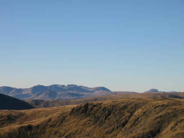
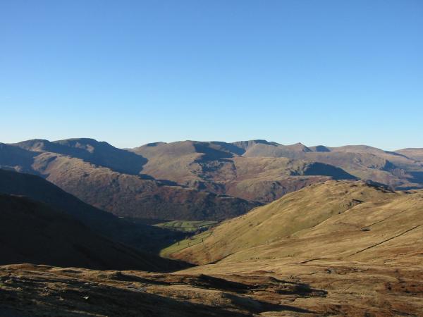
The view west from Thornthwaite Crag
Westerly panorama from Thornthwaite Crag's summit
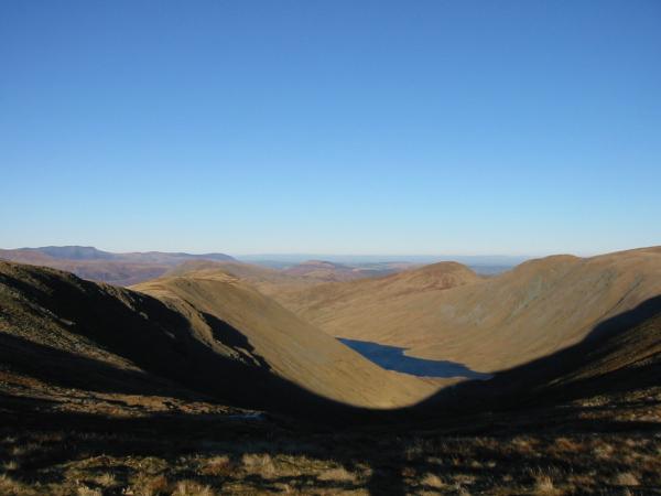
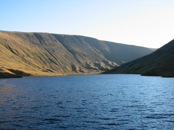
Hayeswater with the Gray Crag ridge on the left
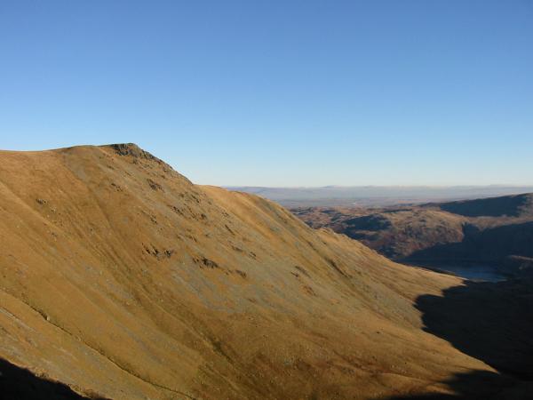
Looking back to Thornthwaite Beacon from the ascent of High Street
The Ill Bell ridge (Yoke, Ill Bell and Froswick)
High Street summit

360 Panorama from High Street's summit
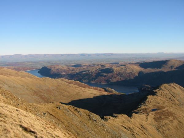
Long Stile leading down to Rough Crag, Haweswater and The Pennines in the distance
Kidsty Pike from the Straits of Riggindale
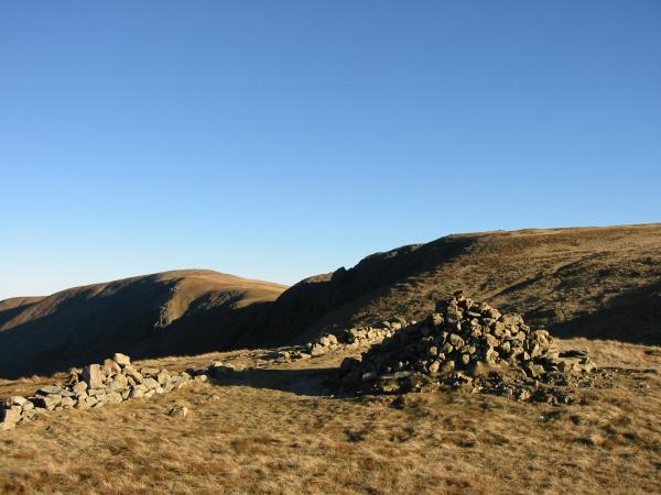
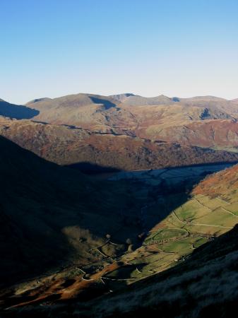
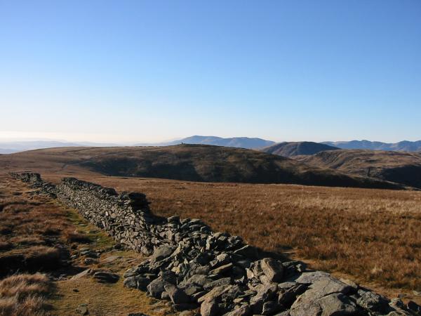
High Raise and Rampsgill Head from The Knott's summit
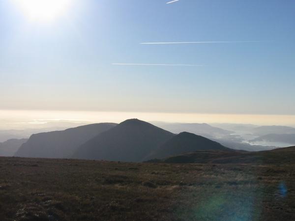
Rest Dodd and The Nab from The Knott with Blencathra in the distance on the left
The view west from the descent off The Knott
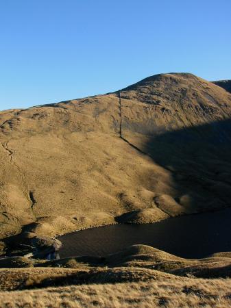
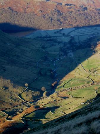
Hayeswater
Gray Crag's west face catching the sun from the track back to Hartsop
Previous Walk: Blencathra via Hall's Fell Ridge (Fri 5 Dec 2003)
Next Walk: Black Crag and Tarn Hows (Thu 11 Dec 2003)