High Spy ridge
Wed 12 Nov 2003
Route: Hawes End - Skelgill Bank - Catbells - Hause Gate - Maiden Moor - Blea Crag Cairn - High Spy - Rigghead Quarries - Castle Crag - River Derwent - Grange in Borrowdale - Derwent Water - High Brandelhow - Low Brandelhow - Hawes End
Distance: 10.00 miles
Ascent: 2,650ft
Time: 4 hours 50 minutes
With: On Own
Notes:
Sunshine, scattered cloud touching the high tops

© Crown copyright. All rights reserved. Licence number AL100038401
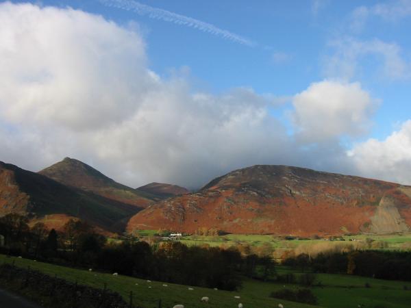
Causey Pike, Outerside and Barrow from the road at Hawes End
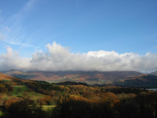
Skiddaw hidden by a bank of cloud
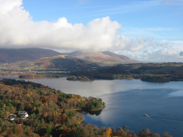
Derwent Water with cloud on the top of Blencathra
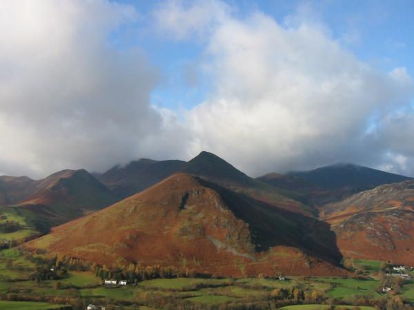
Causey Pike
Newlands from Catbell's north ridge
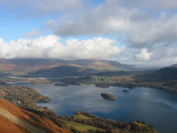
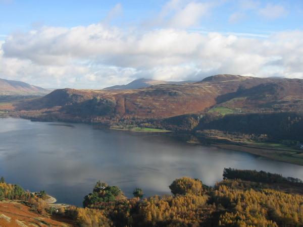
Derwent Water
Looking back down Catbells north ridge from the summit
Walla Crag and Bleaberry Fell from Catbells summit

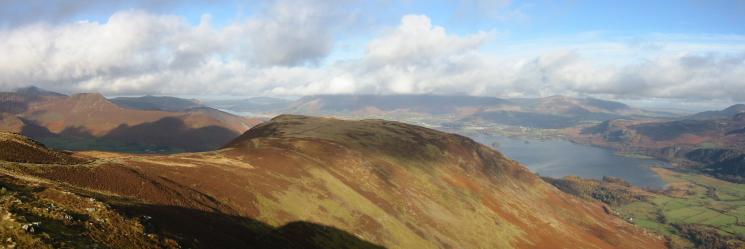
360 Panorama from Catbells summit
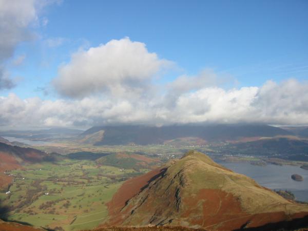
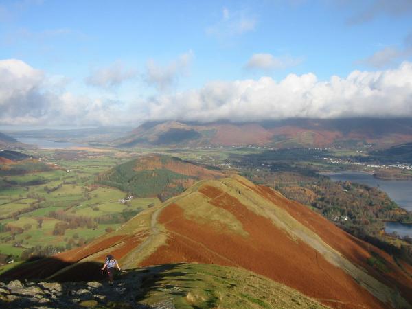
Catbells from Maiden Moor
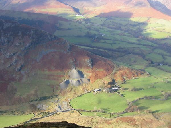
Goldscope Mine and Low Snab Farm
Maiden Moor from Blea Crag Cairn

Borrowdale from Blea Crag Cairn
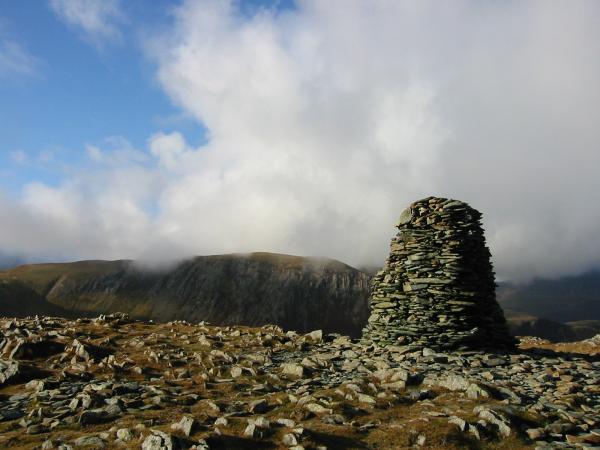
Hindscarth from High Spy's impressive summit cairn
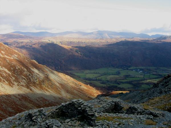
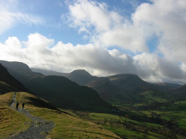
The Helvellyn ridge from the descent through Rigghead Quarries
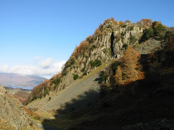
Castle Crag
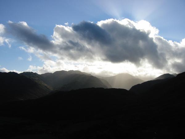
South into the sun from Castle Crag
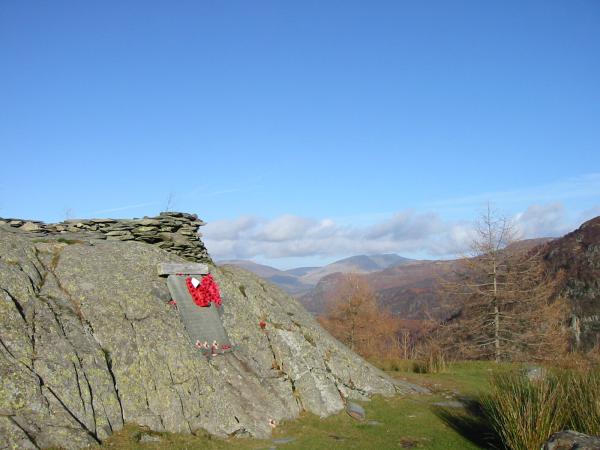
Castle Crag summit
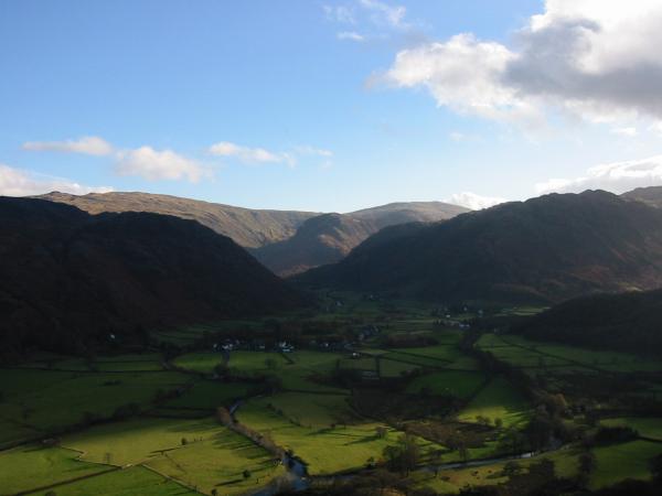
Rosthwaite, Borrowdale from Castle Crag
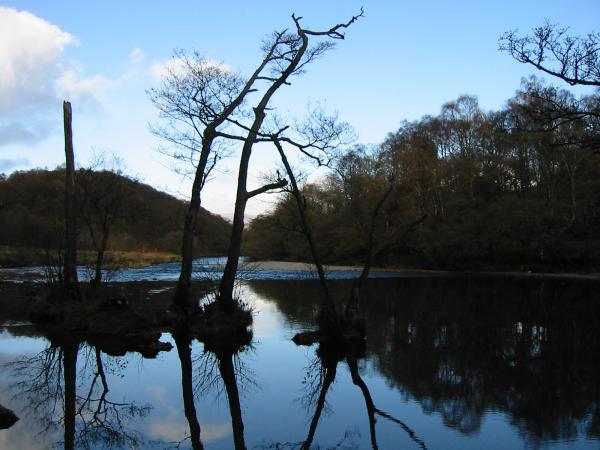
The River Derwent
Skiddaw, now out of the cloud

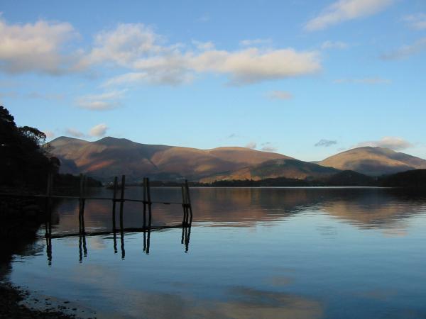
High Brandelhow landing stage, Derwent Water
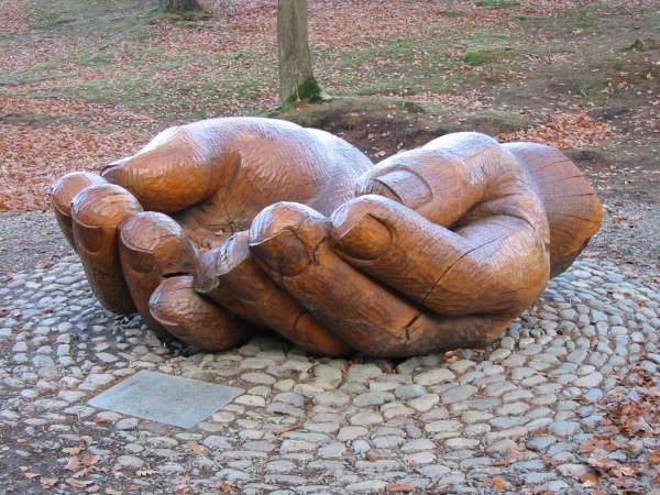
'Entrust', Brandelhow
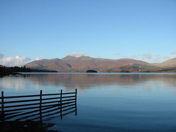
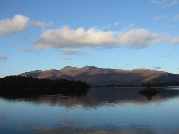
Skiddaw and Blencathra from Low Brandelhow landing stage, Derwent Water
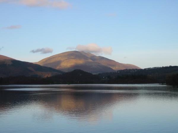
Skiddaw
Blencathra seen across Derwent Water
Previous Walk: Aira Force and Gowbarrow Fell (Sun 9 Nov 2003)