Boat How and Burnmoor Tarn
Wed 15 Oct 2003
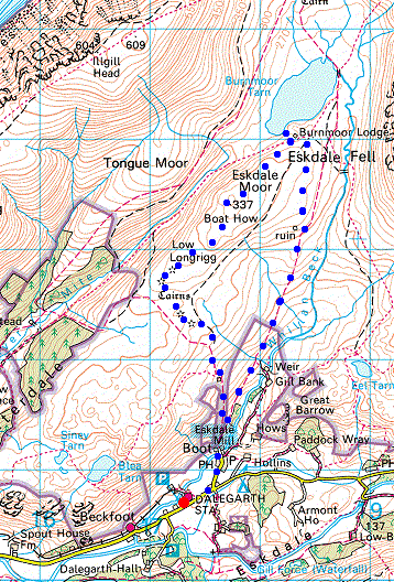
Route: Dalegarth Station, Boot - Boot - Burnmoor Tarn - Boat How (Eskdale Moor) - Boot - Dalegarth Station
Distance: 5.00 miles
Ascent: 1,000ft
Time: 4 hours 20 minutes
With: Ian
Notes:
Sunshine, blue sky.
We extended A. Wainwright's 'Boat How' walk in his book 'The Outlying Fells of Lakeland' [page 178] by also visiting Burnmoor Tarn.
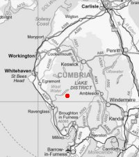
© Crown copyright. All rights reserved. Licence number AL100038401
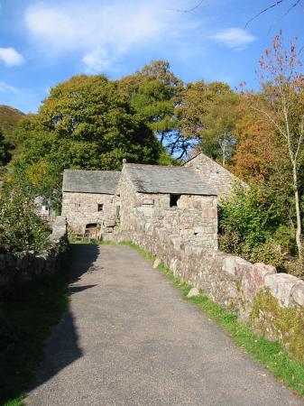
The bridge at Boot and Eskdale Mill
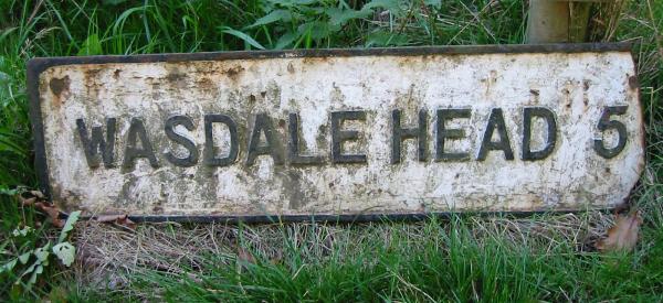
Old sign on the path out of Boot 'Wasdale Head 5'
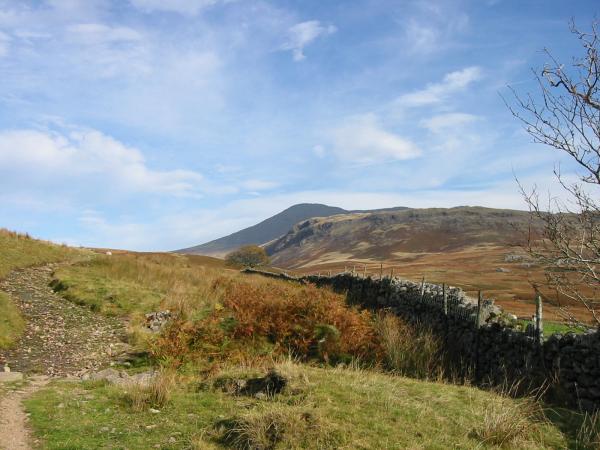
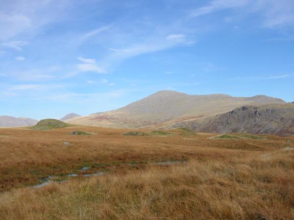
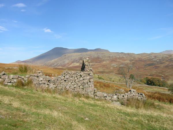
Scafell in shadow behind Great How from the track to Burnmoor Tarn
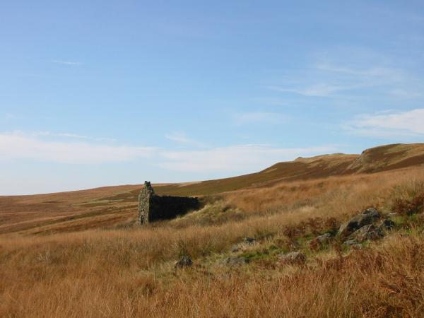
AW's stone hut
Burnmoor Tarn
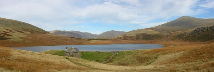
Kirk Fell and Scafell from Burnmoor Lodge and Tarn
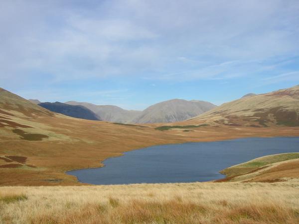
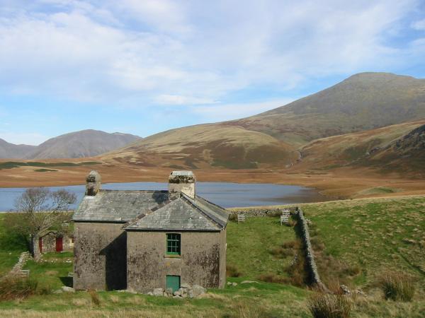
Burnmoor Tarn with Red Pike, Yewbarrow (in shadow), Pillar, Kirk Fell and the top of Great Gable
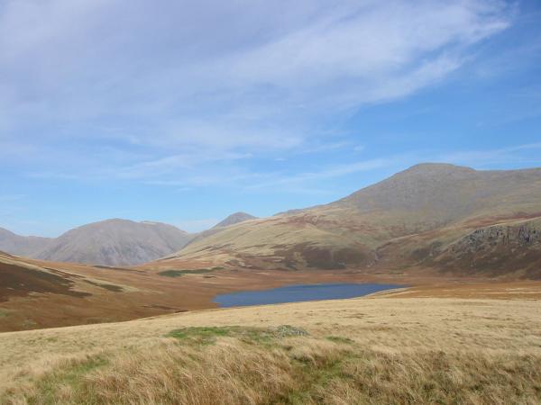
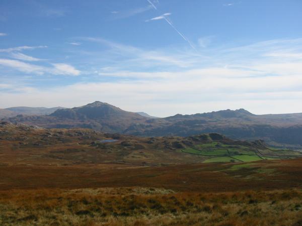
Kirk Fell, Great Gable, Scafell and Burnmoor Tarn from Boat How
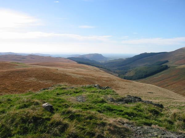
Muncaster Fell and the wooded Irton Pike from Boat How summit

360 Panorama from Boat How's summit
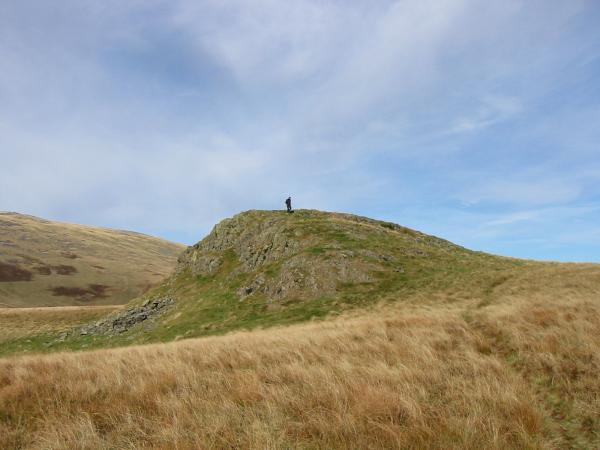
Looking back to Boat How's summit
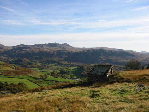
Harter Fell with Eel Tarn in front and Crook Crag
Looking back to Boat How with Kirk Fell, Great Gable, Scafell, Slight Side and the crags on Great How
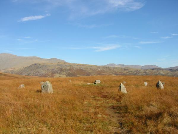
One of the stone circles, Eskdale Moor
Another of the stone circles, Eskdale Moor
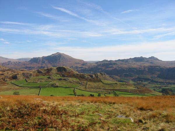
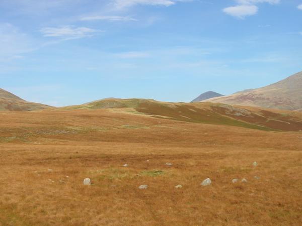
Looking over Great Barrow to Harter Fell and Crook Crag
Crook Crag from above Boot
Scafell and Slight Side from above Boot
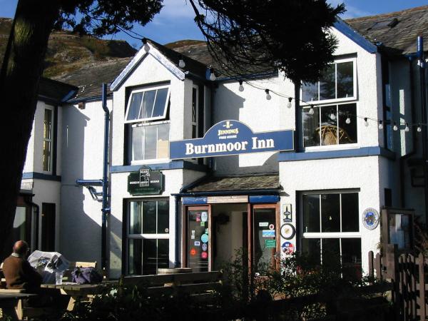
Burnmoor Inn, Boot
Previous Walk: A Boredale Round (Sun 12 Oct 2003)
Next Walk: Little Langdale and Lingmoor Fell (Thu 16 Oct 2003)