Castle Crag and High Doat
Sat 17 May 2003
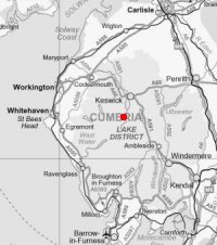
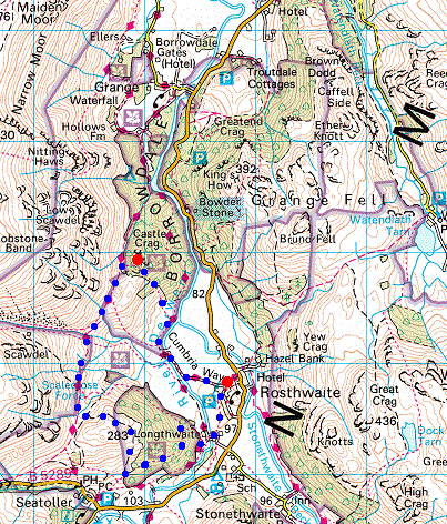
Route: Rosthwaite - Castle Crag - Allerdale Ramble - High Doat - Longthwaite - Rosthwaite
Distance: 4.25 miles
Ascent: 1,000ft
Time: 2 hours 15 minutes
With: Anne
Notes:
Rain
© Crown copyright. All rights reserved. Licence number AL100038401
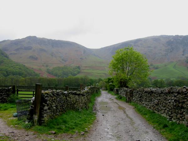
The track out of Rosthwaite. High Scawdel on the left and High Spy on the right
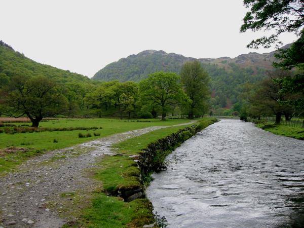
The River Derwent with King's How, Grange Fell ahead
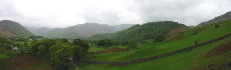
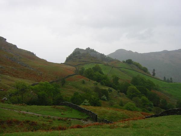
Eagle Crag, Bessy Boot (Rosthwaite Fell) and High Doat from the path up Castle Crag
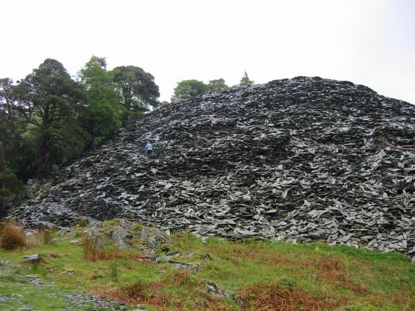
Anne on the left in a slate coloured jacket ascending the spoil heap near the top of Castle Crag
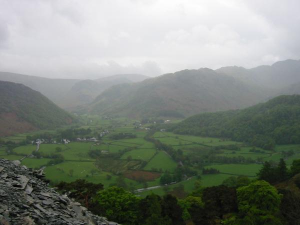
Rosthwaite, Stonethwaite and Bessy Boot, Rosthwaite Fell
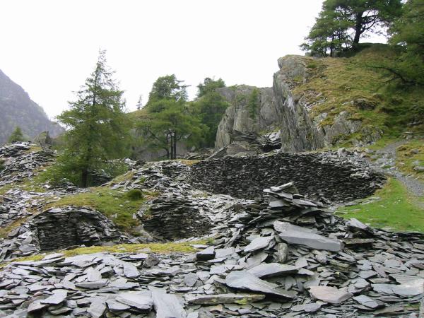
The quarry workings above the spoil heap, Castle Crag
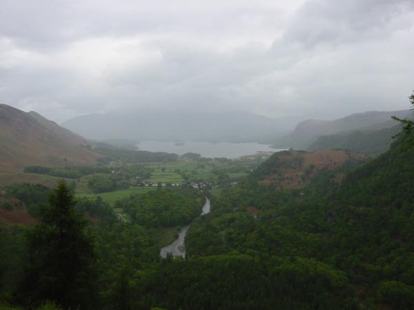
Derwent Water from Castle Crag summit with Skiddaw lost in cloud
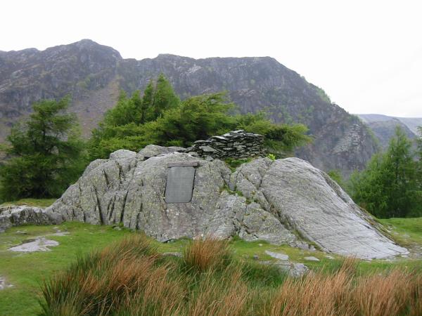
Castle Crag summit
High Doat with Glaramara behind from Castle Crag's summit
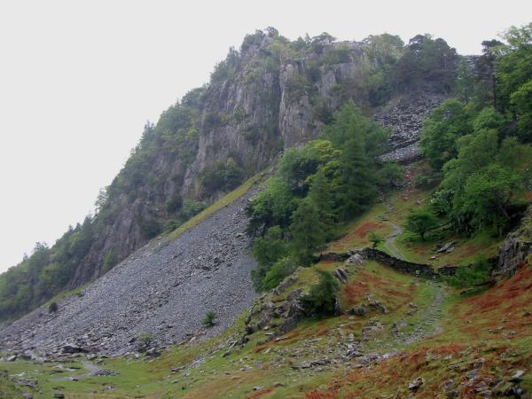
The crags on the west side of Castle Crag
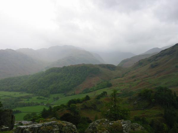
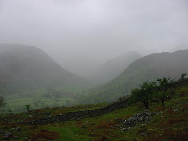
Looking back to Castle Crag
Base Brown (centre right) appearing out of the cloud from High Doat
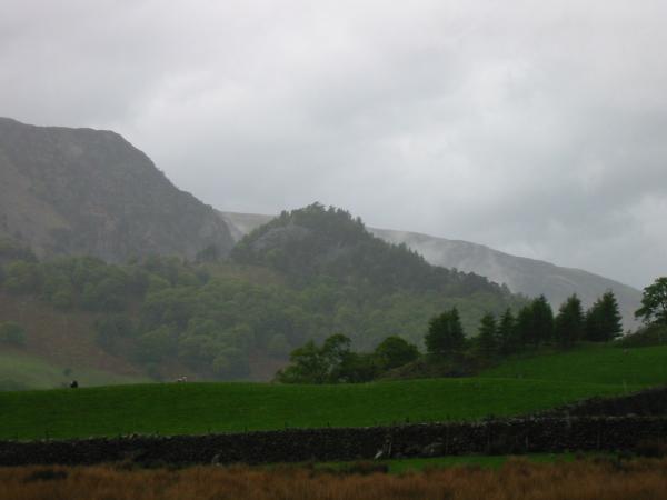
Castle Crag from near Longthwaite
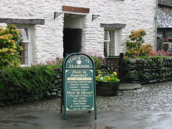
Flock-In Tearoom, Yew Tree Farm, Rosthwaite - the cake was excellent
Previous Walk: Harter Fell, Eskdale (Sun 11 May 2003)
Next Walk: Rannerdale Knotts and Rannerdale Bluebells (Sun 18 May 2003)