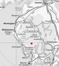
Harter Fell, Eskdale
Sun 11 May 2003
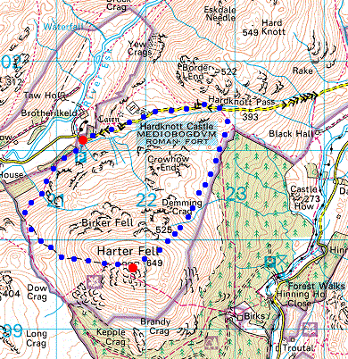
Route: Brotherilkeld, Eskdale - Harter Fell - Hardknott Pass - Hardknott Roman Fort - Brotherilkeld
Distance: 4.00 miles
Ascent: 1,800ft
Time: 2 hours 35 minutes
With: Anne
Notes:
Broken cloud, sunshine
© Crown copyright. All rights reserved. Licence number AL100038401
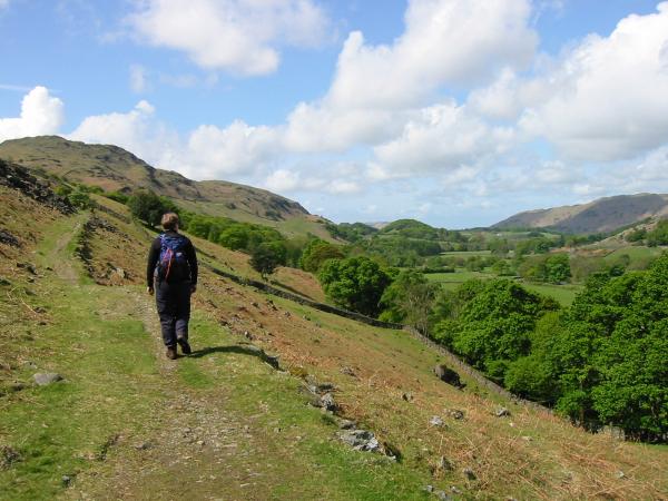
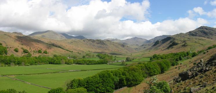
Starting up the path up Harter Fell with views down Eskdale
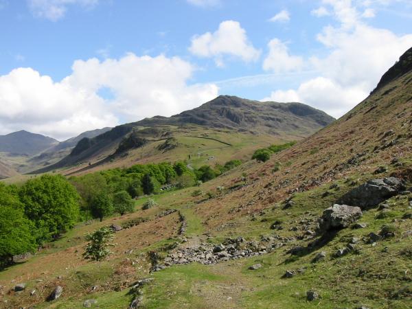
Hard Knott centre and Bowfell on the far left from the path
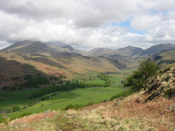
Upper Eskdale with Scafell in cloud (left) and Bowfell (centre)
Looking down into Eskdale
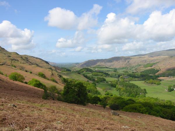
Upper Eskdale
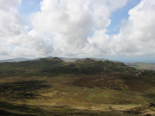
Green Crag and Crook Crag
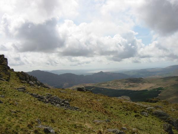
Caw (left) and Stickle Pike (centre) with the Duddon Sands in the distance
Green Crag and Crook Crag with Black Combe, Buck Barrow, Whitfell and the Devoke Water fells behind
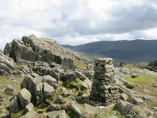
Harter Fell. The true summit from the 'official'
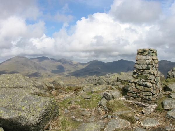
The Scafells, Great End, Esk Pike and Bowfell from Harter Fell's summit

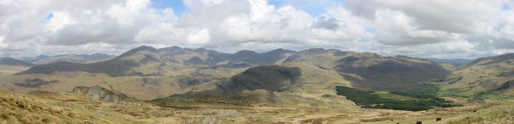
360 Panorama from Harter Fell's summit
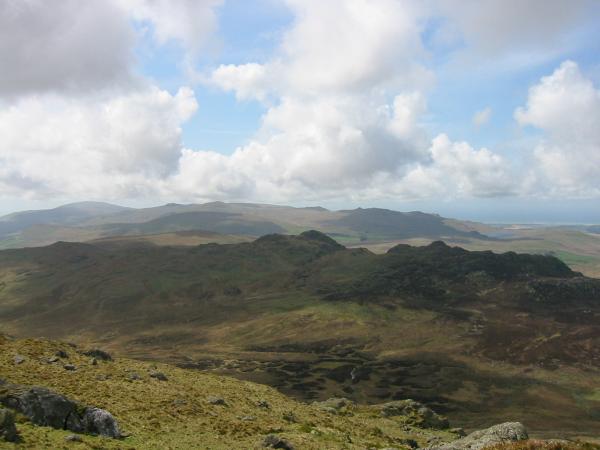
Pillar, the Scafells, Great End, Esk Pike, Bowfell, Hart Knott and Crinkle Crags and Wrynose Bottom from Harter Fell
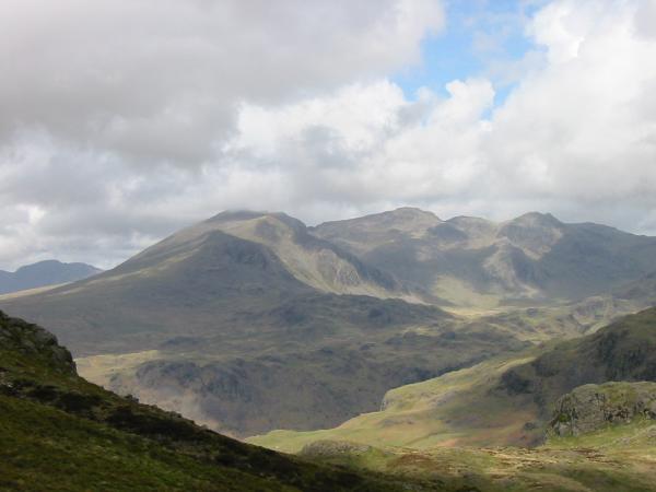
The Scafells from Harter Fell
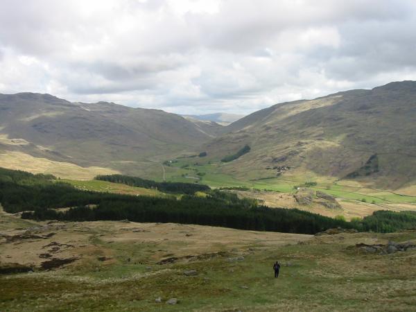
Looking down on Wrynose Bottom
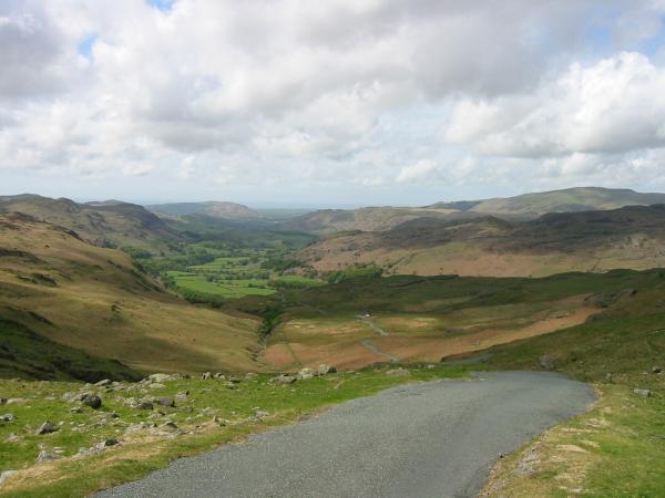
Eskdale from Hardknott Pass
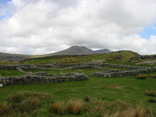
Hardknott Roman Fort
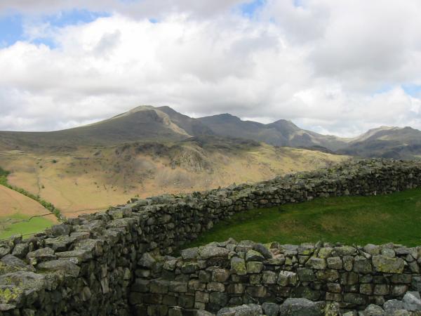
The Scafells from Hardknott Roman Fort
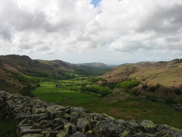
Eskdale from Hardknott Roman Fort
Previous Walk: Harter Fell, Branstree and Selside Pike (Sat 10 May 2003)
Next Walk: Castle Crag and High Doat (Sat 17 May 2003)