Coledale Horseshoe
Sun 5 Jan 2003
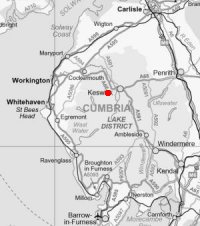
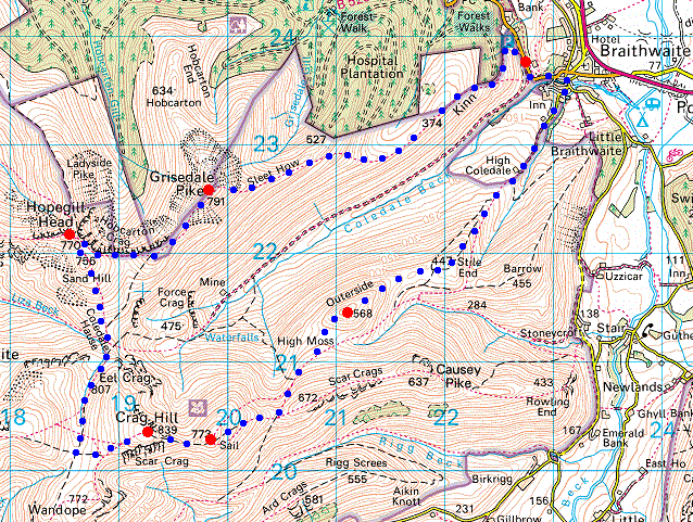
Route: Braithwaite - Kinn - Sleet How - Grisedale Pike - Hopegill Head - Sand Hill - Coledale Hause - Eel Crag (Crag Hill) - Sail - Sail Pass - Outerside - Stile End - High Coledale - Braithwaite
Distance: 10.00 miles
Ascent: 4,050ft
Time: 5 hours 50 minutes
With: Anne
Notes:
Blue sky
© Crown copyright. All rights reserved. Licence number AL100038401
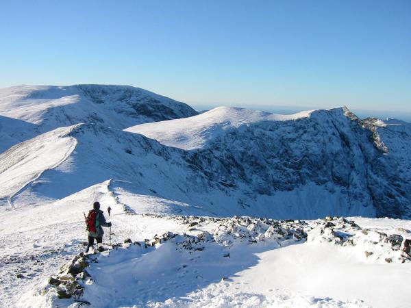
The Coledale Horseshoe from Kinn
Skiddaw, the Vale of Keswick and the north end of the Helvellyn ridge from Kinn
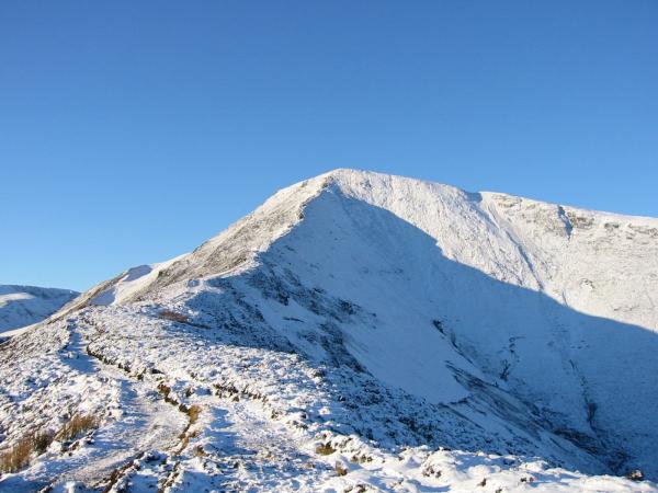
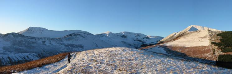
Grisedale Pike from Sleet How
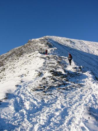
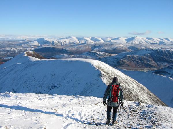
Looking up the top section of the ridge to Grisedale Pike from Sleet How
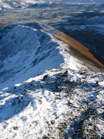
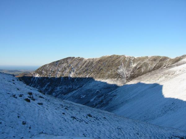
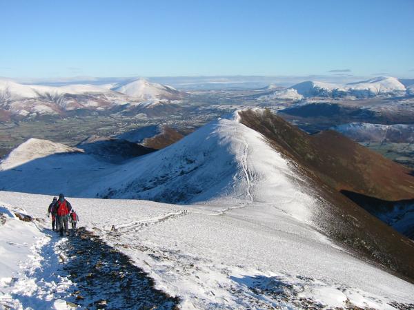
Looking down the top section of the ridge to Sleet How from Grisedale Pike
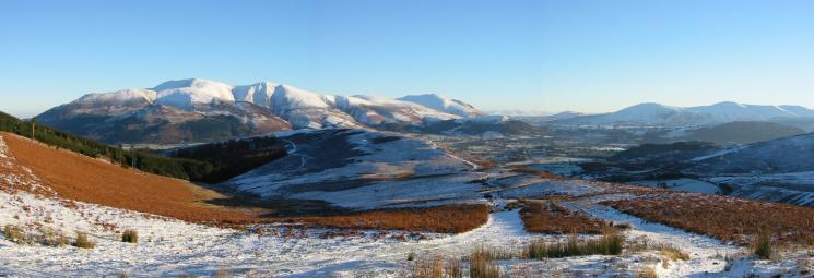
Grasmoor, Sand Hill and Hopegill Head from Grisedale Pike summit

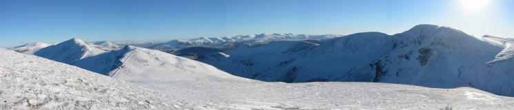
360 Panorama from Grisedale Pike's summit
Leaving Grisedale Pike for Hopegill Head
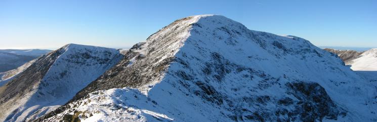
Sand Hill, Hopegill Head and Ladyside Pike
Looking back to Grisedale Pike from its subsidiary top
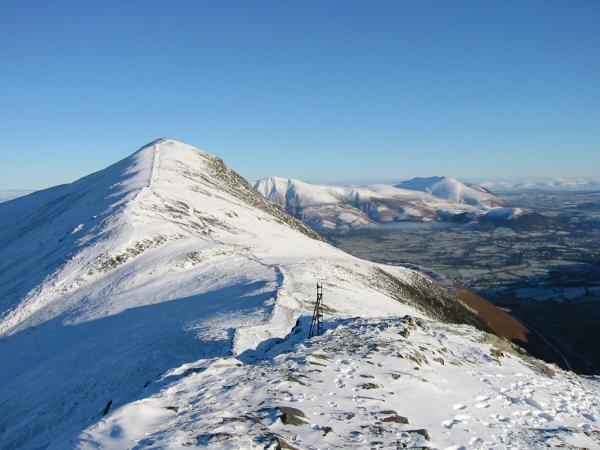
The ridge to Whiteside from Hopegill Head summit

360 Panorama from Hopegill Head's summit
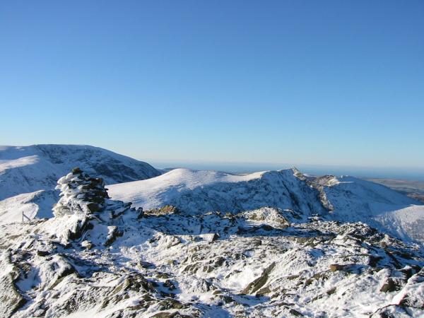
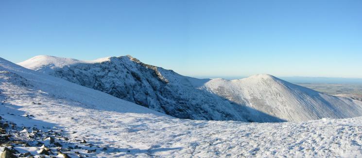
Grisedale Pike, the Helvellyn ridge and the Causey Pike to Eel Crag ridge
Gasgale Crags
The Scafells and Wandope
The Helvellyn range from Eel Crag's summit

360 Panorama from Eel Crag's summit
Leaving Eel Crag for Sail
Looking back to Wandope and Eel Crag from the route up Sail
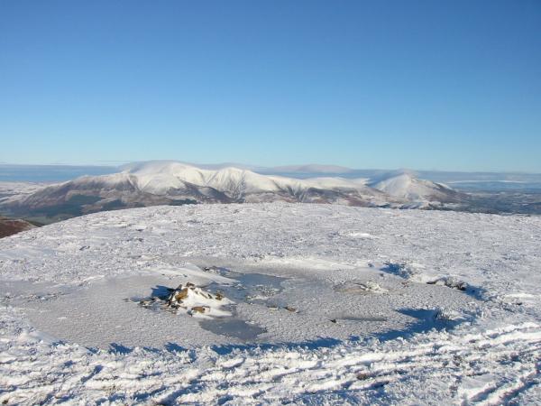
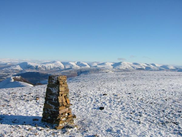
Skiddaw and Blencathra from Sail summit

360 Panorama from Sail's summit
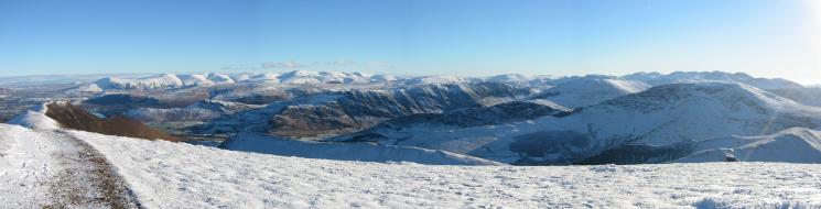
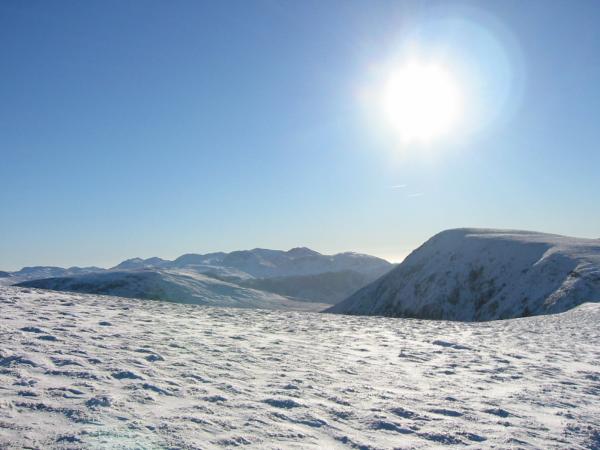
Easterly panorama from Sail
Leaving Sail with Scar Crags and Causey Pike ahead and Outerside far left
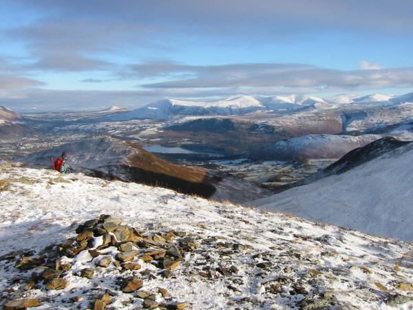
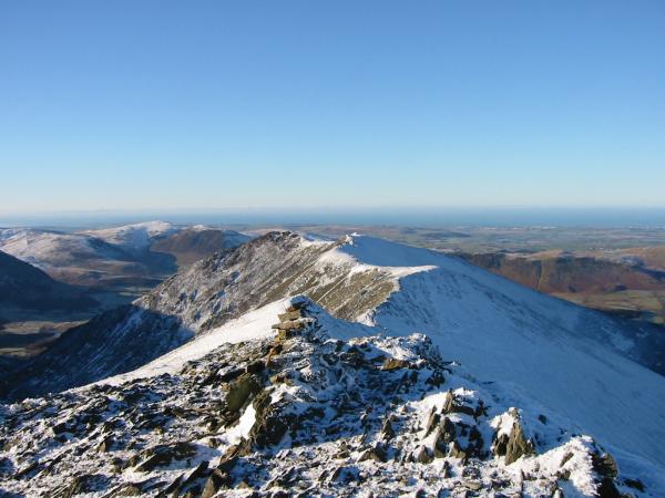
Derwent Water from Outerside summit

360 Panorama from Outerside's summit
Previous Walk: Mungrisdale Circuit (Sat 4 Jan 2003)
Next Walk: Great Crag (Mon 6 Jan 2003)