Mungrisdale Circuit
Sat 4 Jan 2003
Route: Mungrisdale - east ridge - Bowscale Fell - Bannerdale Crags - White Horse Bent - Souther Fell - Mungrisdale
Distance: 7.75 miles
Ascent: 2,150ft
Time: 4 hours 25 minutes
With: Anne
Notes:
A blue sky day
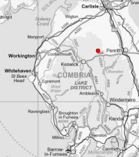
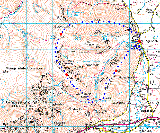
© Crown copyright. All rights reserved. Licence number AL100038401
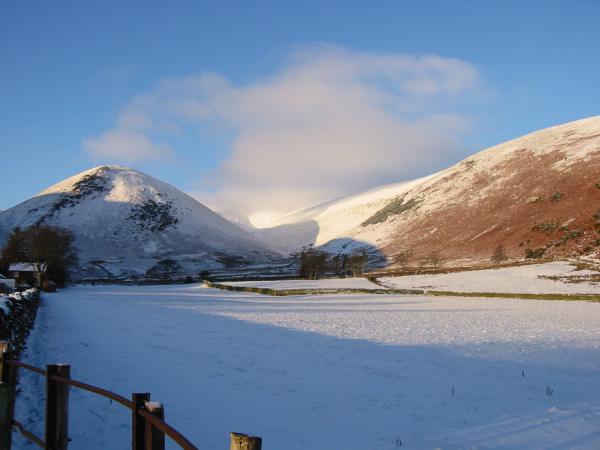
The Tongue and the valley of Bullfell Beck from Mungrisdale
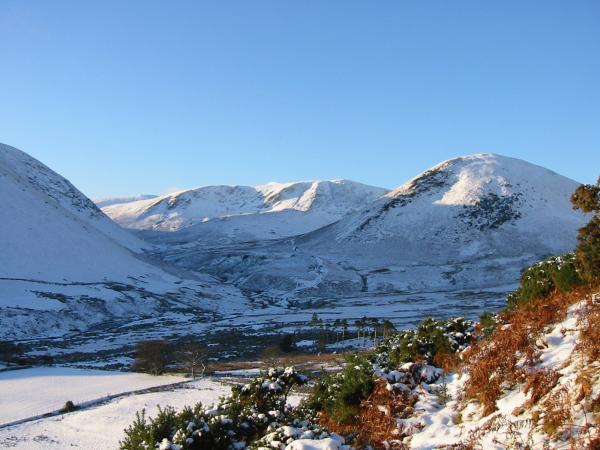
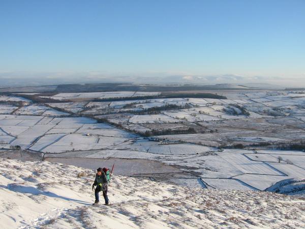
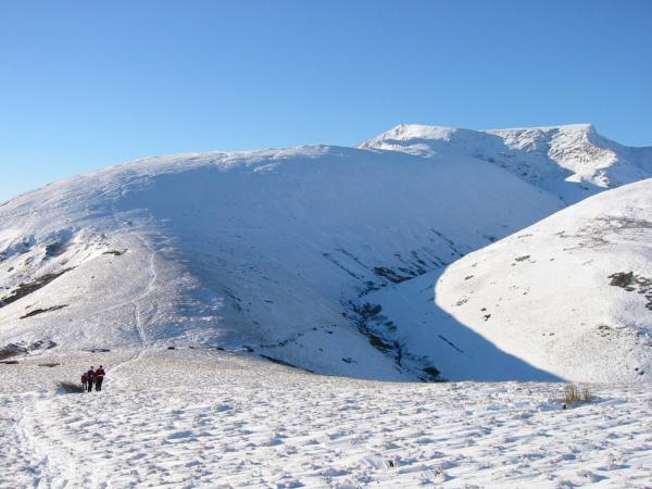
Bannerdale Crags and The Tongue from the start of the climb up Bowscale Fell's east ridge
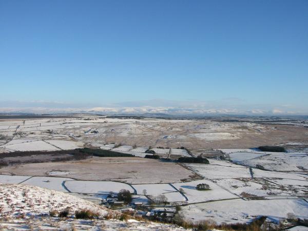
Looking across the Vale of Eden to the Pennines
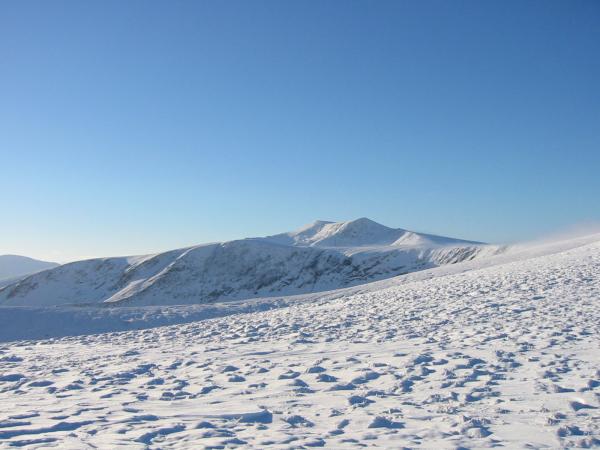
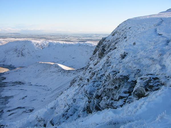
Blencathra from Bowscale Fell's east ridge
Bowscale Fell's east ridge
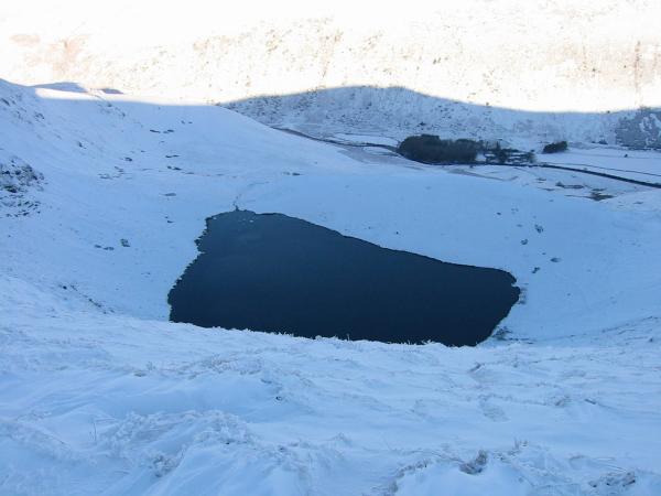
Looking down on Bowscale Tarn
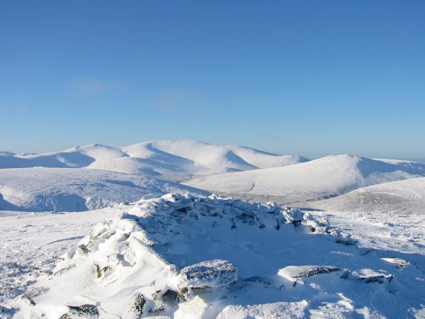
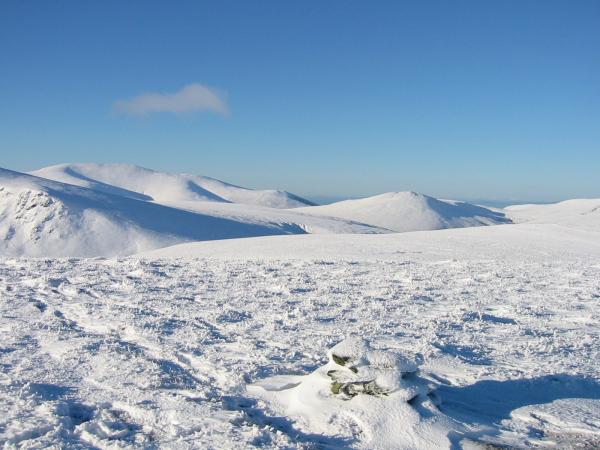
Skiddaw and Great Calva from Bowscale Fell's summit

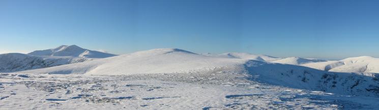
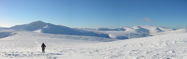
360 Panorama from Bowscale Fell's summit
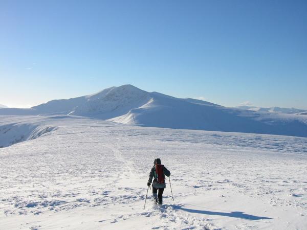
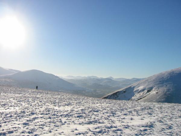
Leaving Bowscale Fell with Blencathra ahead
Leaving Bowscale Fell with Blencathra ahead
Souther Fell and Bannerdale Crags
Looking across to Souther Fell from Bannerdale Crags
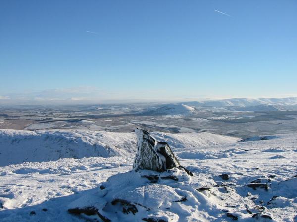
Skiddaw and Great Calva from Bannerdale Crags summit

360 Panorama from Bannerdale Crags' summit
Great Mell Fell and the northern end of the High Street ridge from Bannerdale Crags
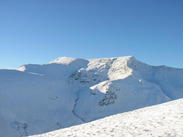
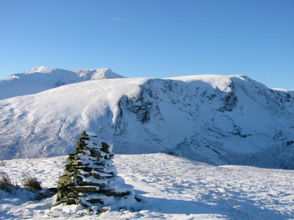
Blencathra with the curving Sharp Edge from Bannerdale Crags
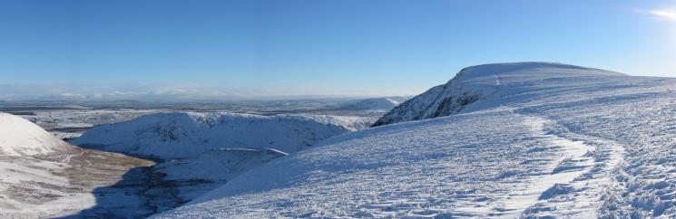
Scales Fell and Blencathra from the path up Souther Fell
Clough Head and the central fells
Blencathra and Bannerdale Crags from Souther Fell
Great Mell Fell and the High Street ridge from Souther Fell's summit

360 Panorama from Souther Fell's summit
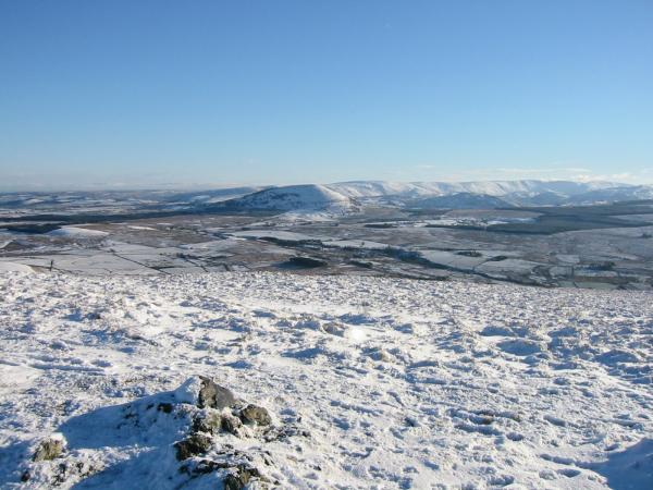
The Vale of Eden and the Pennines from Souther Fell
Previous Walk: Bowfell (Fri 3 Jan 2003)
Next Walk: Coledale Horseshoe (Sun 5 Jan 2003)