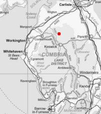
Uldale Fells
Sat 16 Nov 2002
Route: Horsemoor Mills, south of Orthwaite - Great Cockup - Trusmadoor - Meal Fell - Great Sca Fell - Knott - Horsemoor Mills
Distance: 8.25 miles
Ascent: 2,000ft
Time: 3 hours 15 minutes
With: Anne
Notes:
Light winds
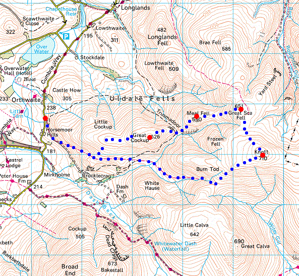
© Crown copyright. All rights reserved. Licence number AL100038401
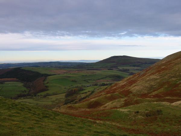
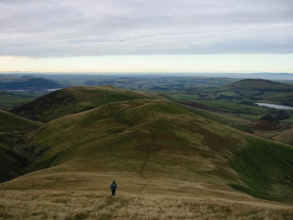
Binsey from the bridleway up Great Cockup
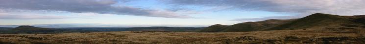
Northerly Panorama from Great Cockup's west ridge
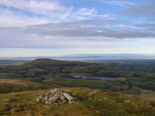
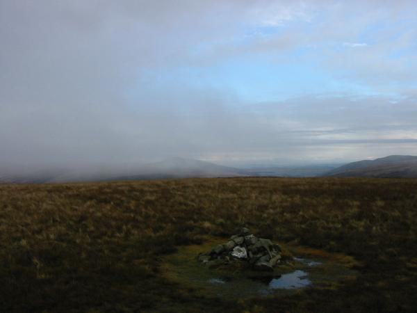
Binsey, Over Water and Scotland from the cairn at the west end of Great Cockup's summit
The northwestern fells and Bassenthwaite Lake from the cairn at the west end of Great Cockup's summit
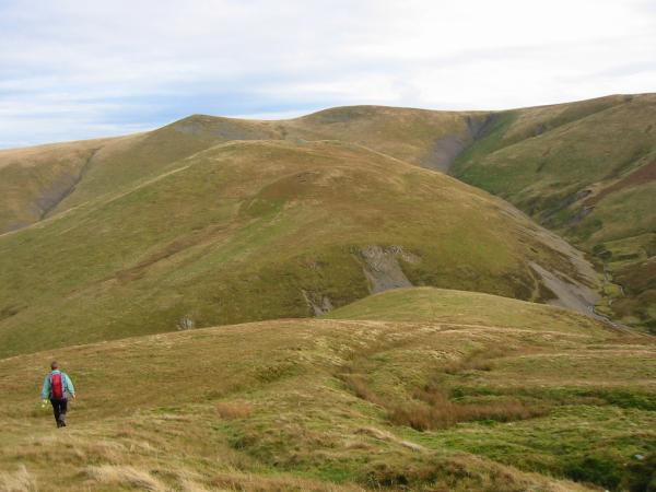
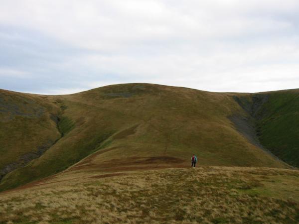
Heading for Great Cockup's summit
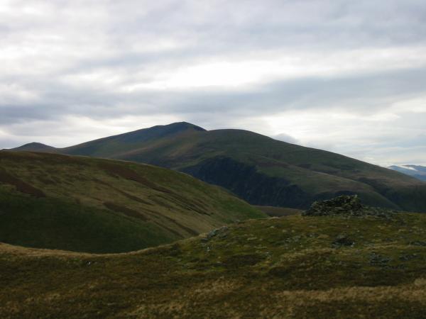
Longlands Fell, Lowthwaite Fell and Brae Fell from Great Cockup's summit

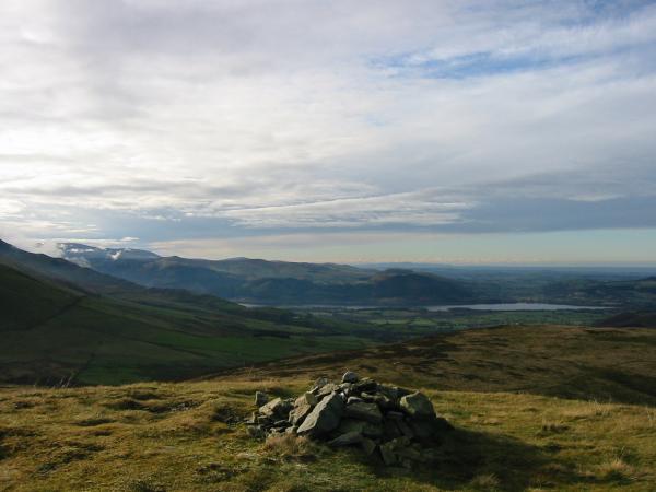
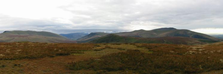
360 Panorama from Great Cockup's summit
Heading down to Trusmadoor with Meal Fell ahead and Little and Great Sca Fell on the skyline
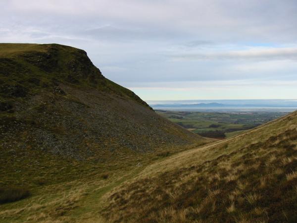
Looking across Burntod Gill to Trusmadoor
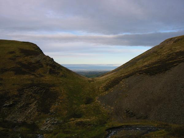
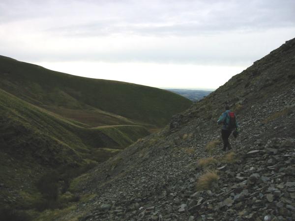
Trusmadoor
Burntod Gill and Skiddaw
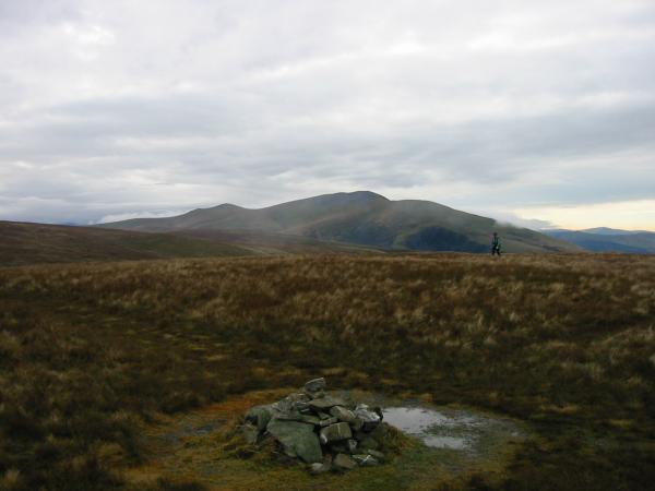
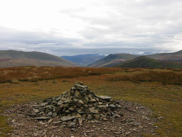
Meal Fell's summit shelter cairn and Skiddaw

360 Panorama from Meal Fell's summit
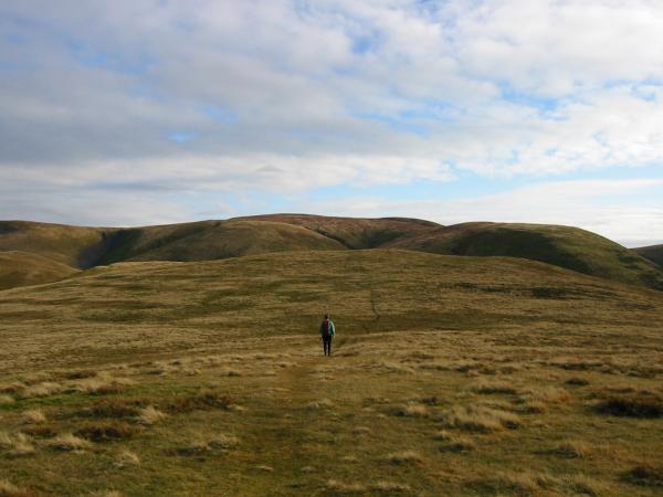
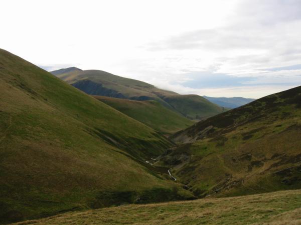
Heading for Great Sca Fell from Meal Fell
Climbing Great Sca Fell
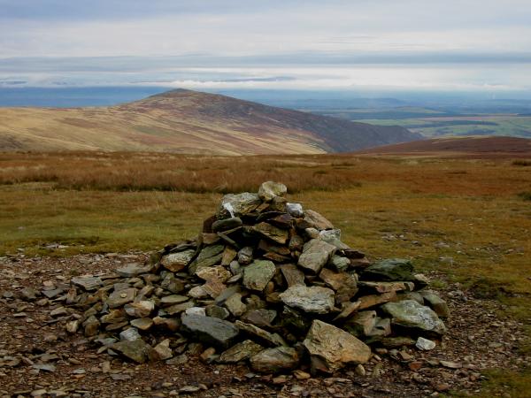
Skiddaw from Great Sca Fell summit cairn
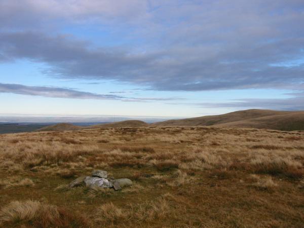
Carrock Fell can just be seen through the cloud from Great Sca Fell
Looking south from Knott's summit to Lonscale Fell and Great Calva
Carrock Fell from Knott's summit
Southerly Panorama (Blencathra to Skiddaw) from Knott's summit
Descending by Hause Gill
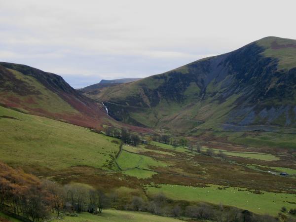
Whitewater Dash with the point of Lonscale Fell above
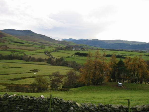
Long Side and Ullock Pike with the northwestern fells in the distance
Previous Walk: Dove Crag from Ambleside (Sat 9 Nov 2002)
Next Walk: Seathwaite Fell (Sat 23 Nov 2002)