Arthur's Pike and Bonscale Pike
Wed 19 Jun 2002
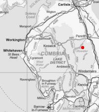
Route: Howtown - White Knott - Arthur's Pike - Bonscale Pike - Howtown
Distance: 5.75 miles
Ascent: 1,400ft
Time: 2 hours 15 minutes
With: Anne
Notes:
Sunny summer's evening
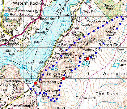
© Crown copyright. All rights reserved. Licence number AL100038401
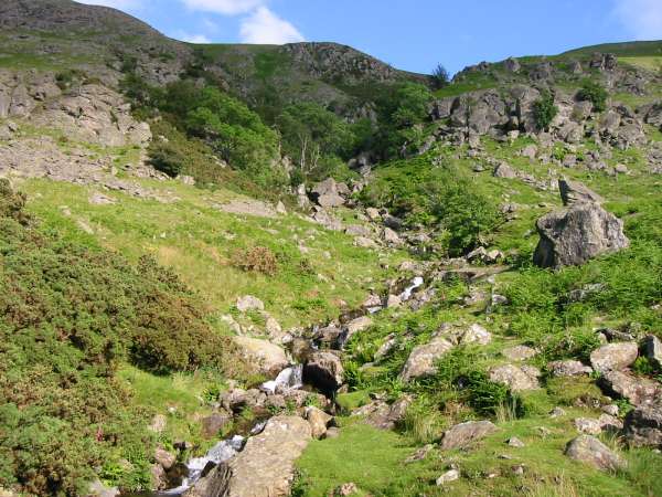
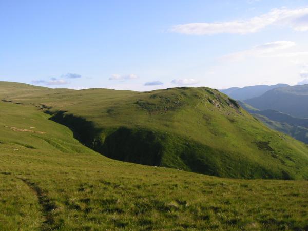
The bottom part of Swarthbeck Gill seen from the Howtown path
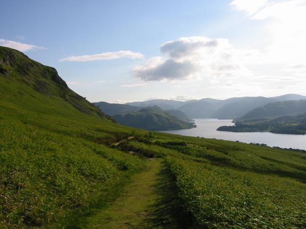
Looking back down the Howtown path to Hallin Fell and Ullswater's middle reach
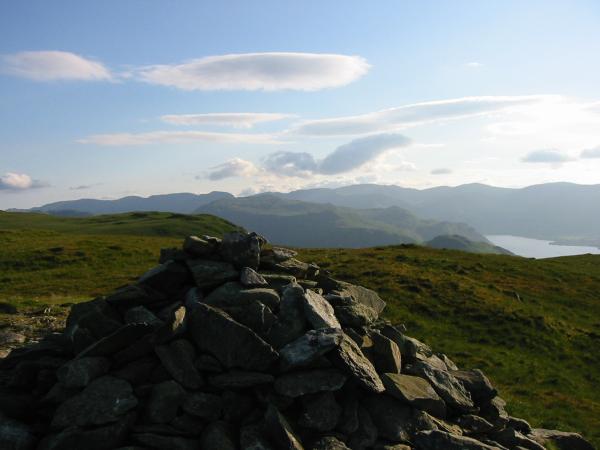
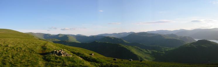
Fairfield, Place Fell and the Helvellyn Range from Arthur's Pike summit
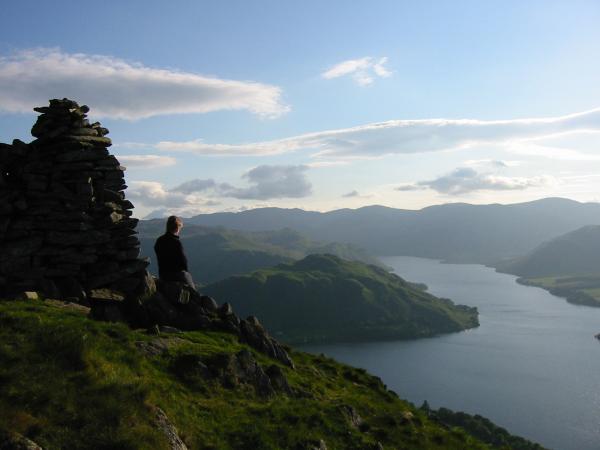
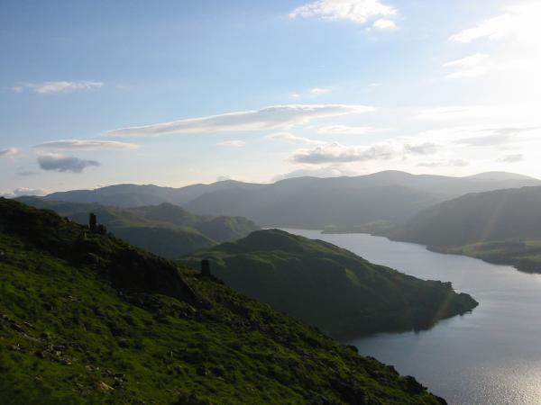
Ullswater from the beacon, 250m northwest of Arthur's Pike summit
Ullswater from the beacon, 250m northwest of Arthur's Pike summit
Looking northeast from the beacon on Arthur's Pike towards the conical wooded hill of Dunmallet near Pooley Bridge, Ullswater
Looking across the top of Swarthbeck Gill to Bonscale Pike
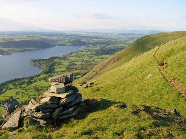
Two of the three pillars on Bonscale Pike
The pillars on Bonscale Pike, looking northwest
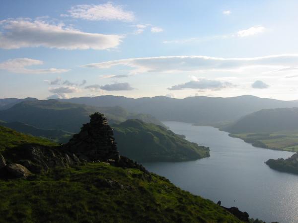
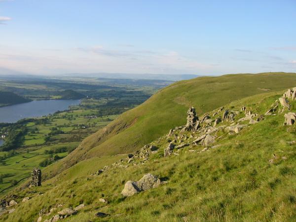
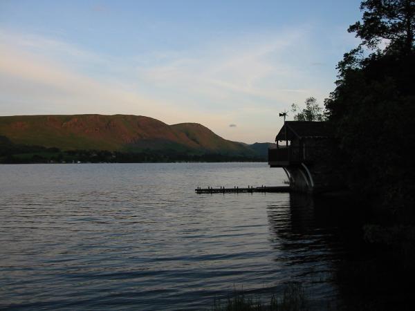
The northern part of Ullswater from the remains of AW's higher pillar, Bonscale Pike
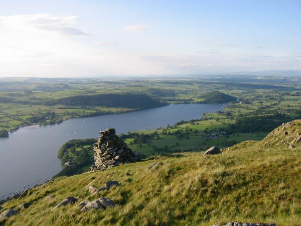
Southwesterly pamorama from Bonscale Pike
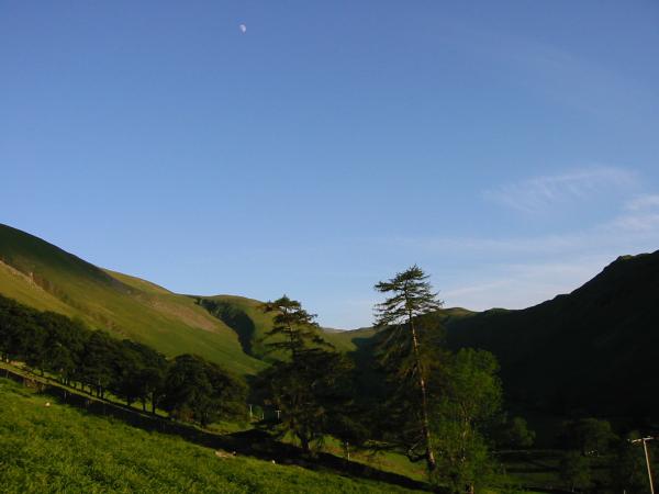
Fusedale
Arthur's Pike and Bonscale Pike seen across Ullswater
Previous Walk: Latterbarrow (Wed 12 Jun 2002)
Next Walk: Scout Scar (Sat 22 Jun 2002)