Bannerdale Round
Thu 9 Oct 2008
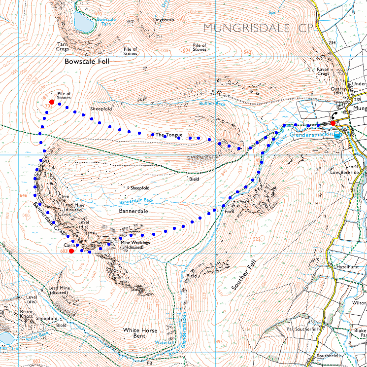
Route: Mungrisdale - The Tongue - Bowscale Fell - Bannerdale Crags - east ridge - River Glenderamackin - Mungrisdale
Distance: 5.25 miles
Ascent: 1,700ft
Time: 2 hours 35 minutes
With: On own
Notes:
Sunny intervals, cloud on the high fells, windy.
© Crown copyright. All rights reserved. Licence number AL100038401
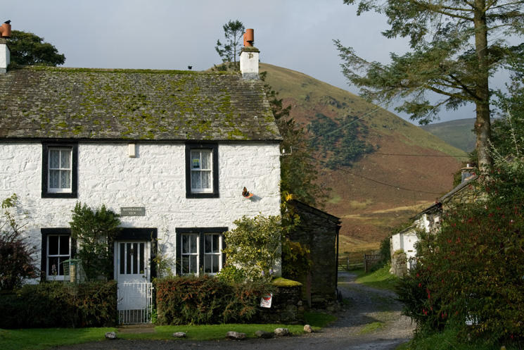
Bannerdale View cottage in Mungrisdale with The Tongue behind
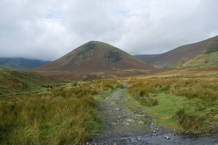
The Tongue, my route was up left side next to the line of crags
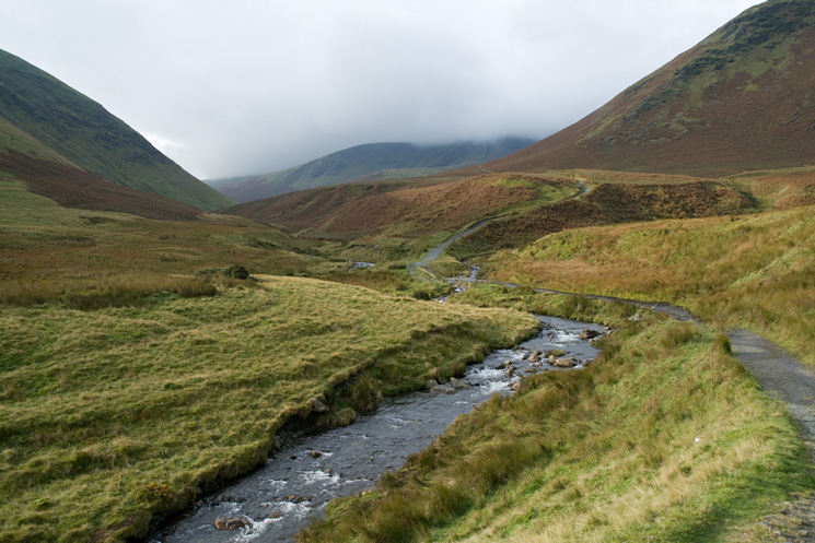
The Tongue on the right with the top of Bannerdale Crags in cloud in the distance from next to the River Glenderamackin
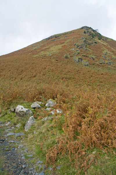
My line of ascent to the left of the rocks (AW Bowscale Fell 5 - Route 2)
Looking back down the steep ascent, Mungrisdale village is in the trees
The view east from the top of the steep climb on to The Tongue
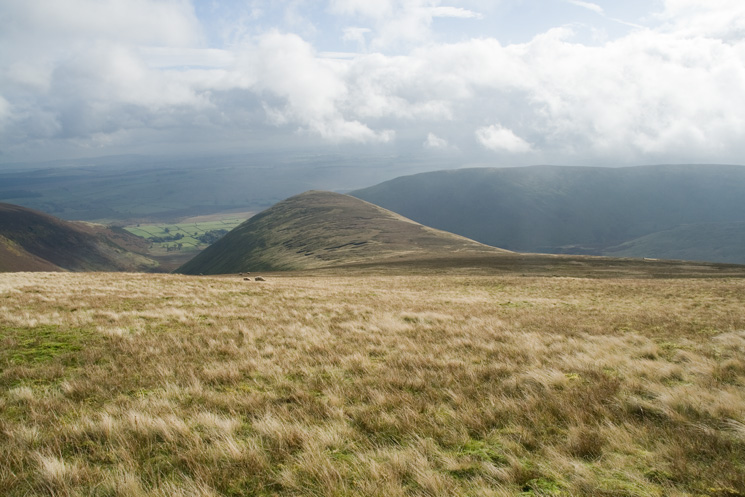
Bowscale Fell from summit of The Tongue, both Birketts if you are counting
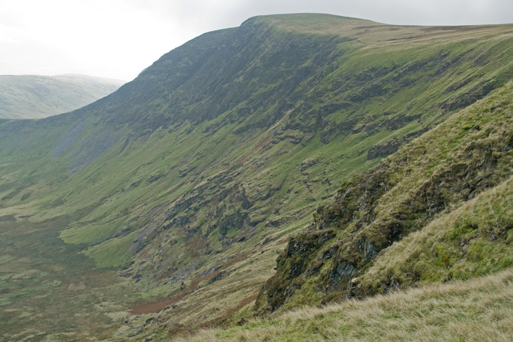
Bannerdale Crags, the east ridge, my descent route, really stands out
On the boggy traverse to Bowscale Fell from The Tongue
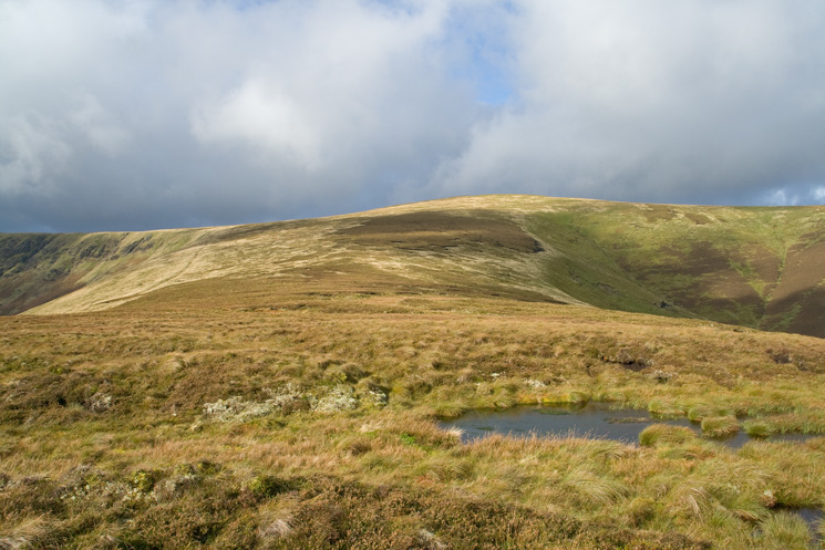
The Tongue from Bowscale Fell
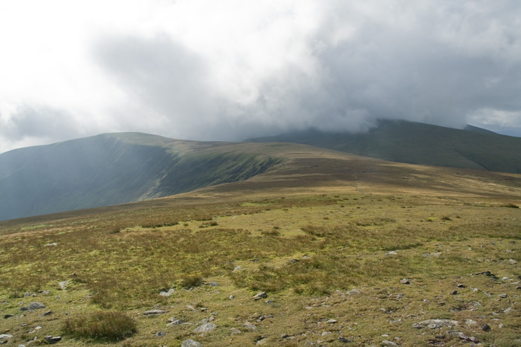
Bowscale Fell's summit, note the cloud on Blencathra
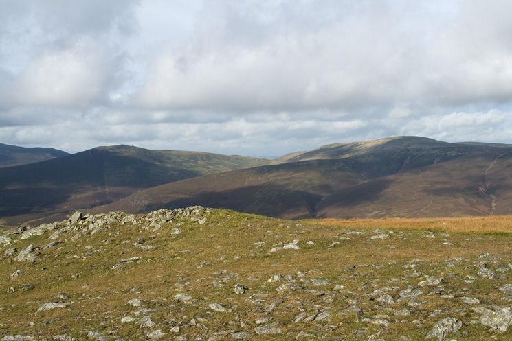
Great Calva and Knott from Bowscale Fell
Skiddaw from Bowscale Fell
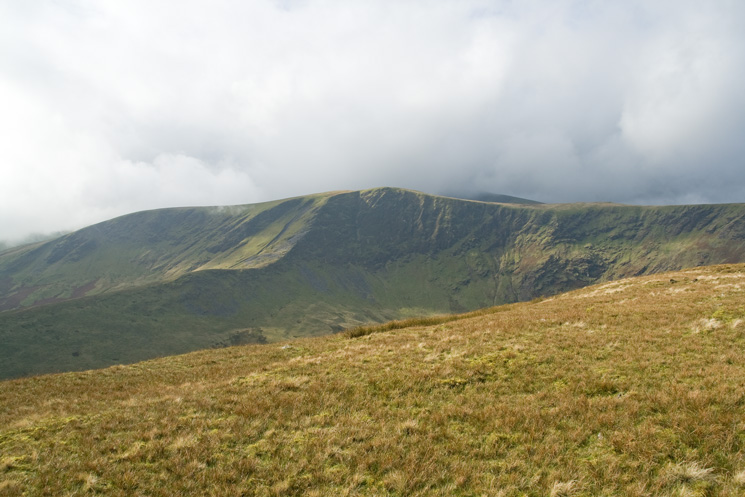
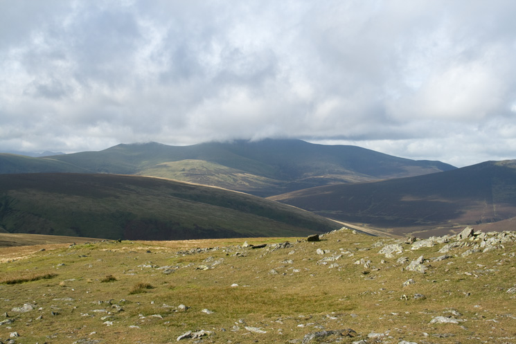
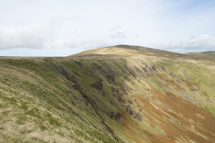
Bannerdale Crags from Bowscale Fell with Blencathra in cloud on the right
Bannerdale Crags
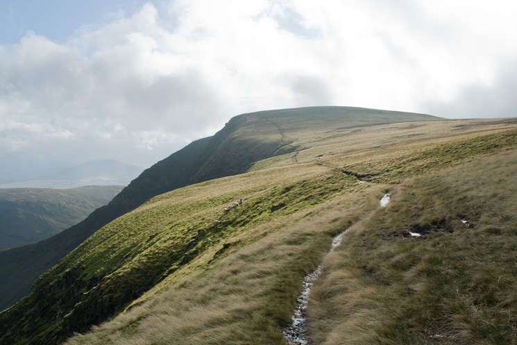
The crag top path to Bannerdale Crags summit from Bowscale Fell
Looking back to Bowscale Fell from my route to Bannerdale Crags
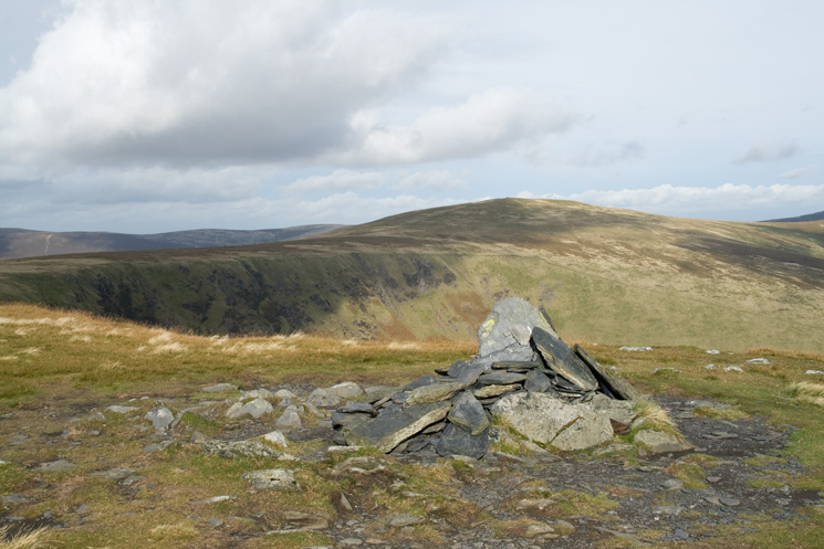
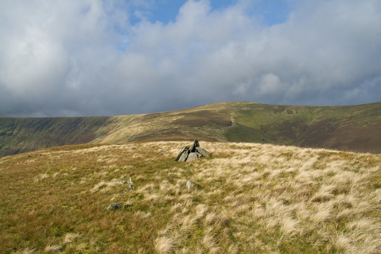
Bowscale Fell from the east cairn on 'the edge' of Bannerdale Crags
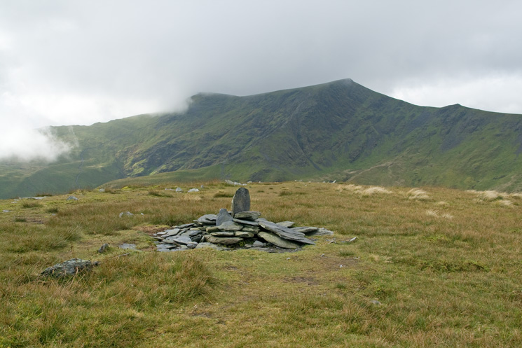
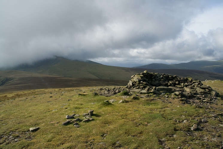
Blencathra from Bannerdale Crags summit cairn
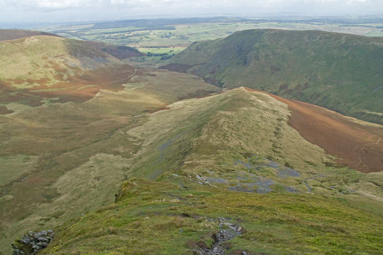
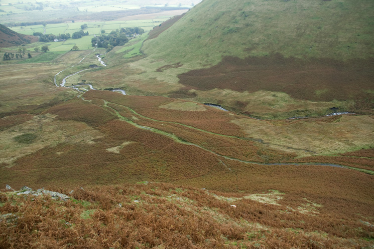
Bannerdale Crags east ridge from above
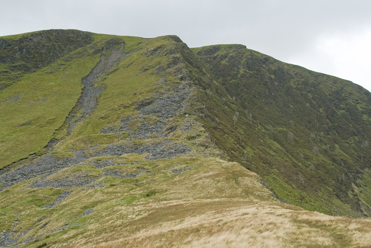
Looking back up the top steep section of Bannerdale Crags east ridge
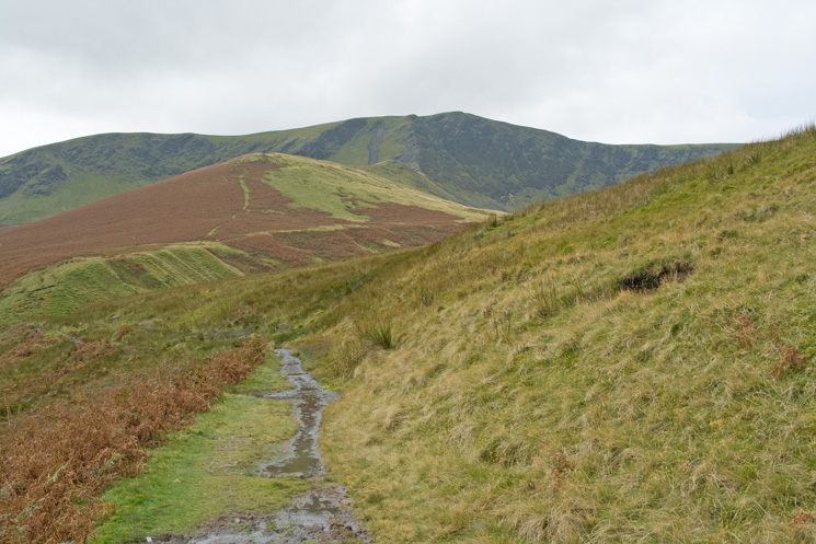
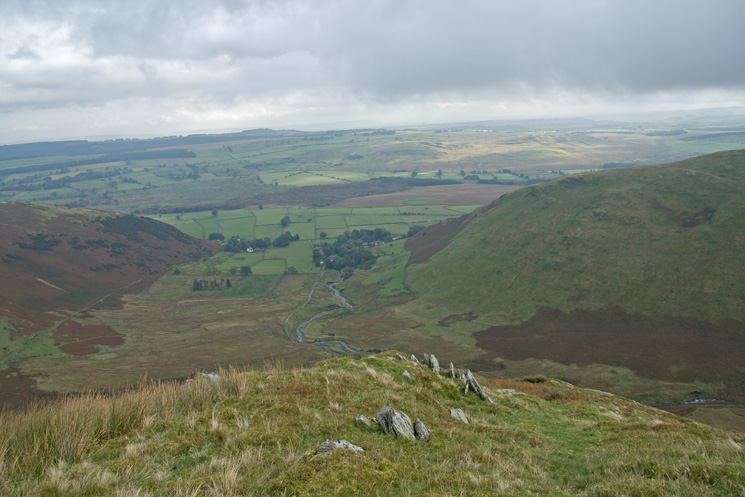
Looking back to Bannerdale Crags as I head for Mungrisdale
Previous Walk: Fairfield from Grasmere (Sun 5 Oct 2008)
Next Walk: Mardale Head, Riggindale and Speaking Crag (Sat 11 Oct 2008)