Caiston Beck skyline
Thu 13 Dec 2001
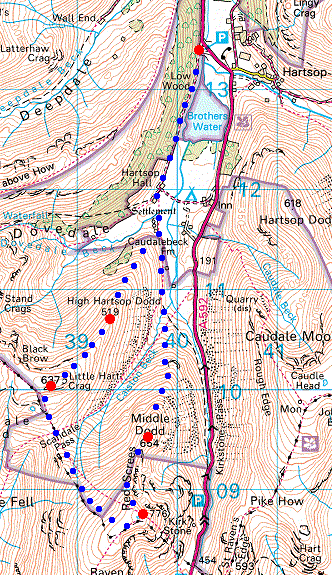
Route: Cow Bridge - Brothers Water - Hartsop Hall - High Hartsop Dodd - Little Hart Crag - Scandale Tarn - Scandale Pass - Red Screes Tarn - Red Screes - Middle Dodd - Hartsop Hall - Brothers Water - Cow Bridge
Distance: 6.75 miles
Ascent: 2,300ft
Time: 3 hours 30 minutes
With: Anne
Notes:
Sun and blue sky with cloud building up in the east and south later.
© Crown copyright. All rights reserved. Licence number AL100038401
Dovedale from near Hartsop Hall
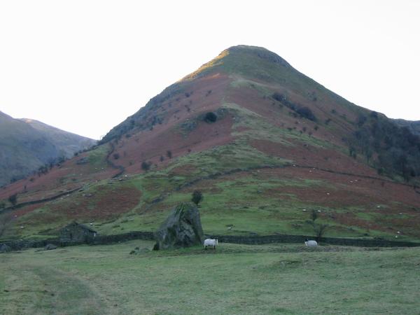
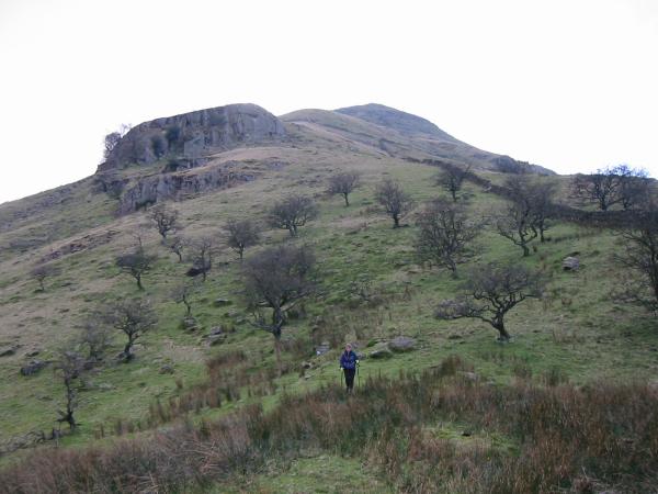
High Hartsop Dodd
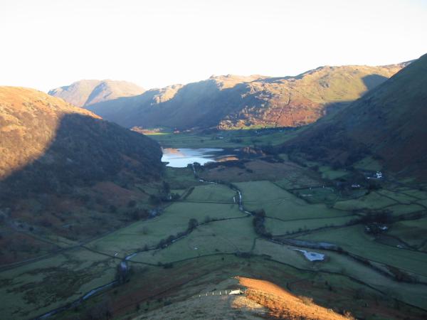
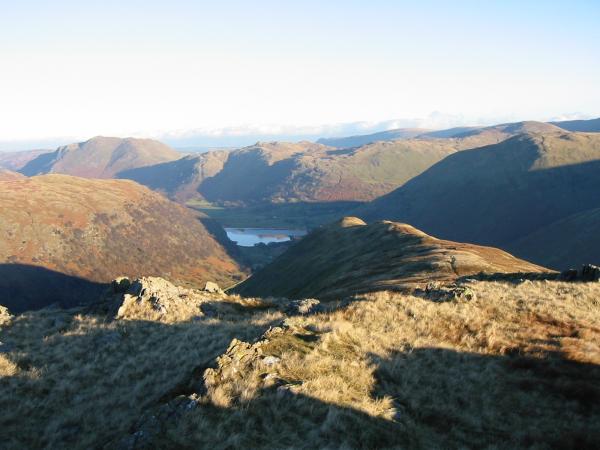
Brothers Water from the north ridge of High Hartsop Dodd
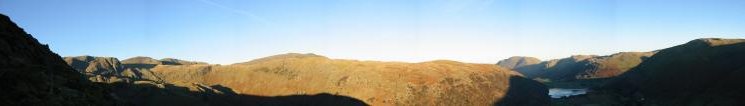
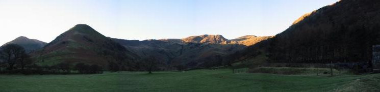
Panorama from high up the north ridge of High Hartsop Dodd
Dove Crag, Hart Crag and Fairfield from High Hartsop Dodd summit
Little Hart Crag from High Hartsop Dodd summit
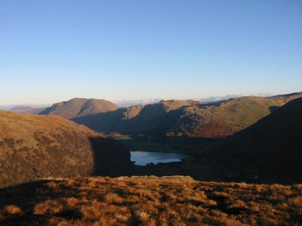
Brothers Water with Place Fell, Angletarn Pikes and Brock Crags behind from High Hartsop Dodd summit
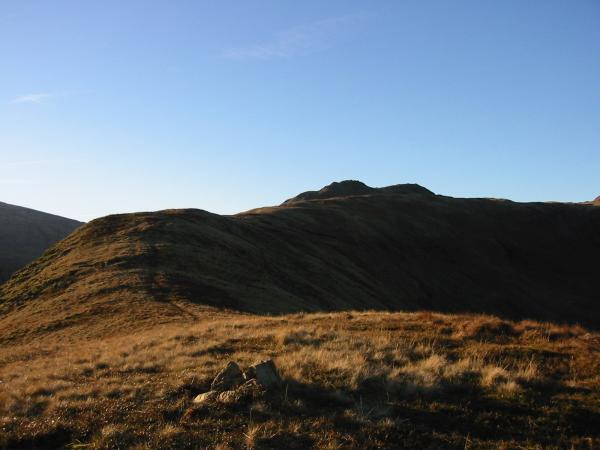
High Hartsop Dodd from Little Hart Crag's north eastern and lower top
Looking to Little Hart Crag's south western and higher top from the cairn on the north eastern top
Dove Crag, Helvellyn and Saint Sunday Crag from Little Hart Crag's south western summit

360 Panorama from Little Hart Crag's summit

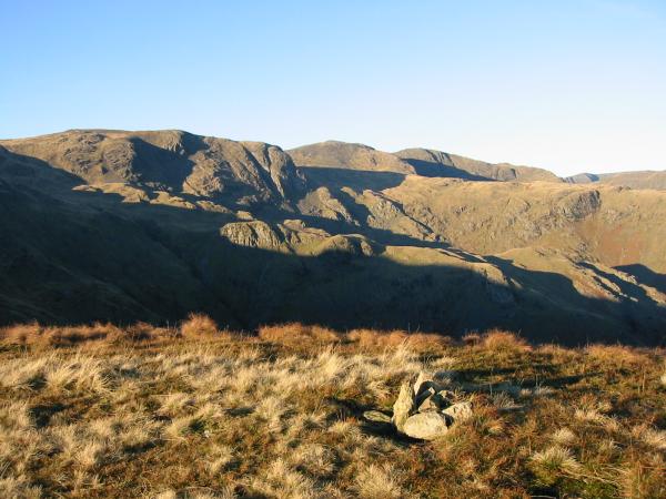
Scandale from Little Hart Crag
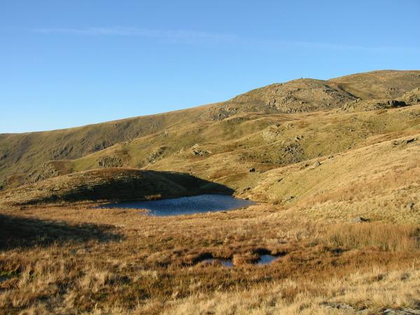
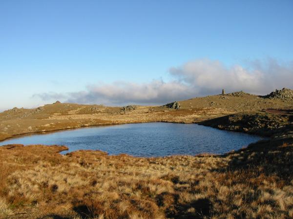
Scandale Tarn with High Bakestones cairn on the skyline
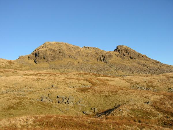
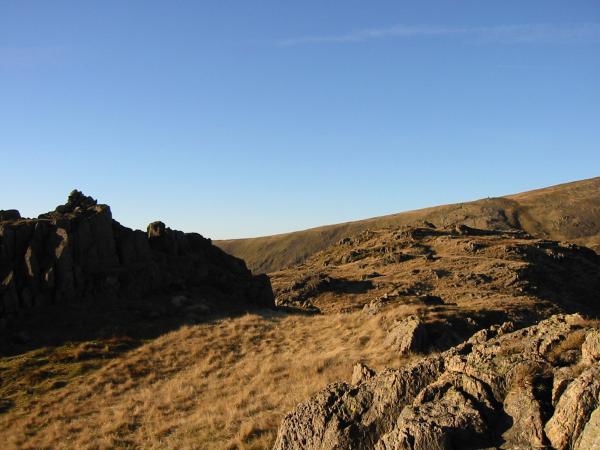
Little Hart Crag's summit from the south
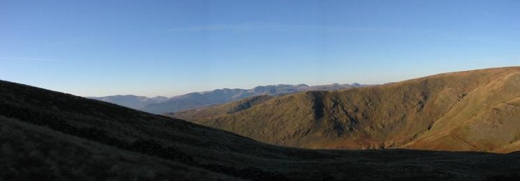
Westerly panorama from the climb up Red Screes from Scandale Pass
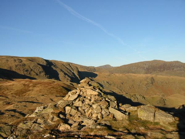
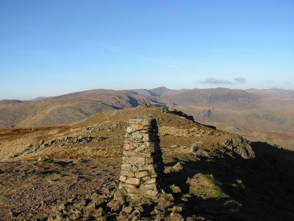
Red Screes summit
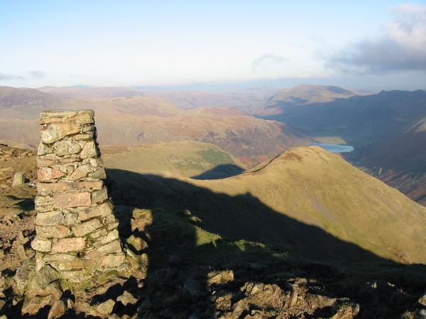
Looking towards Helvellyn from Red Screes summit

360 Panorama from Red Screes' summit
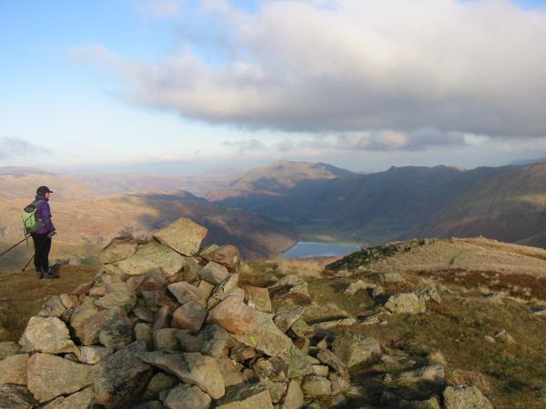
Middle Dodd from Red Screes summit
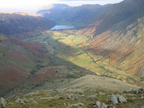
Brothers Water from Middle Dodd summit
Brothers Water from the descent of Middle Dodd's north ridge
Looking back up Middle Dodd's north ridge
Previous Walk: Aira Force (Sat 8 Dec 2001)
Next Walk: Latrigg (Fri 21 Dec 2001)