Coniston Fells
Fri 9 Nov 2001
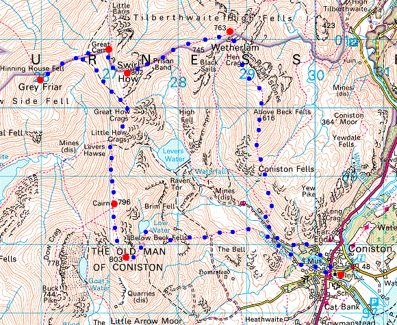
Route: Coniston - Lad Stones - Wetherlam - Swirl Hawse - Prison Band - Swirl How - Great Carrs - Fairfield - Grey Friar - Fairfield - Levers Hawes -Brim Fell - Coniston Old Man - Low Water - Coniston
Distance: 11.20 miles
Ascent: 3,810ft
Time: 5 hours
With: On Own
Notes:
Dry, blue skies, dusting of snow on the fells, wind NE mod to fresh, -2oC on tops per Lakes Weather Line
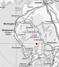
© Crown copyright. All rights reserved. Licence number AL100038401
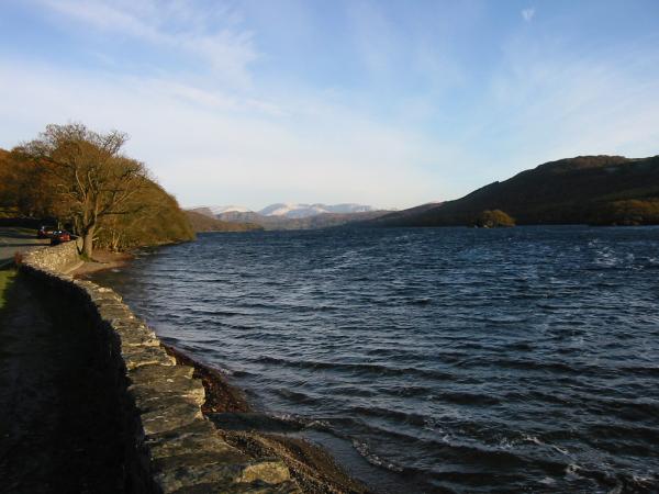
Coniston Water, looking north
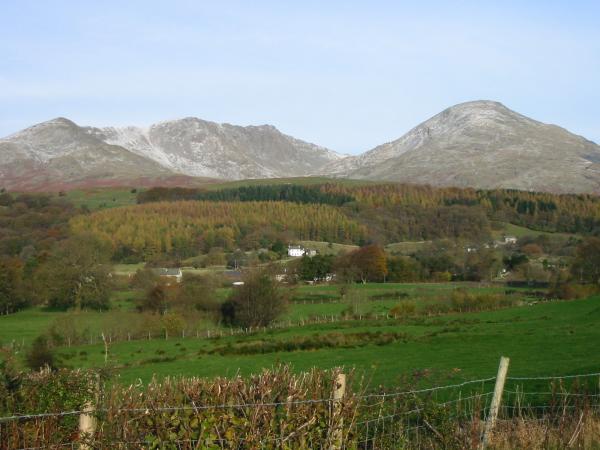
Dow Crag and Coniston Old Man from Torver
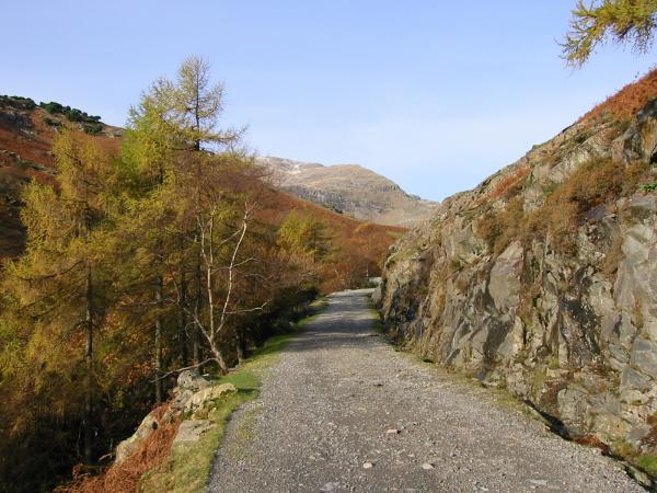
Coniston Coppermines road
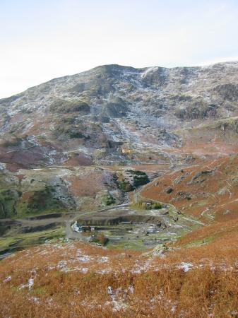
Coniston Old Man from Coppermines valley
Looking east from Lad Stones ridge, Wetherlam
Looking back down Lad Stones ridge, Wetherlam
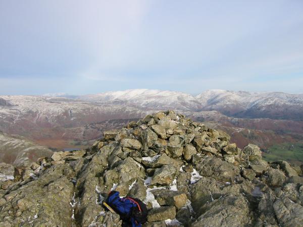
Looking north east from Wetherlam summit
Looking north west from Wetherlam summit

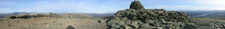
360 Panorama from Wetherlam summit
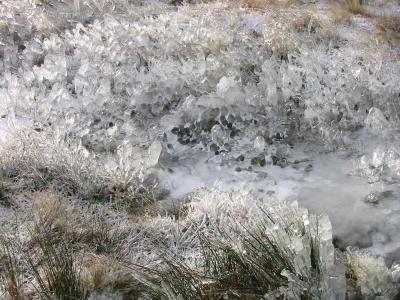
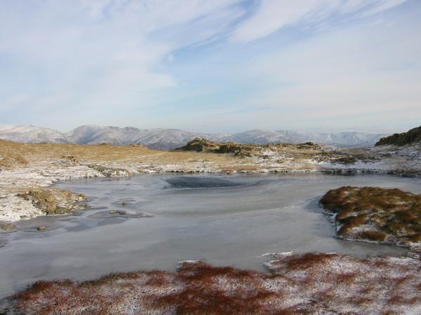
Ice crystals, Wetherlam
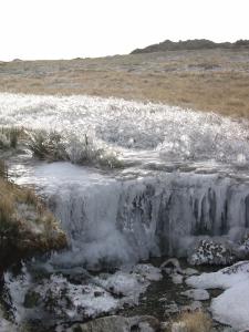
Ice crystals, Wetherlam
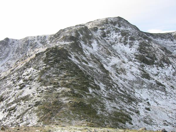
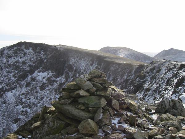
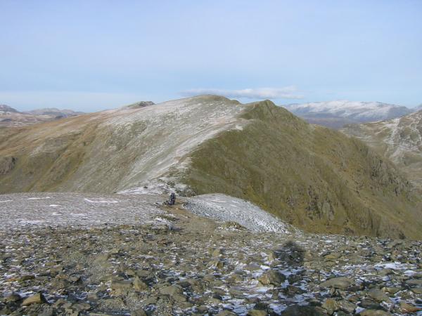
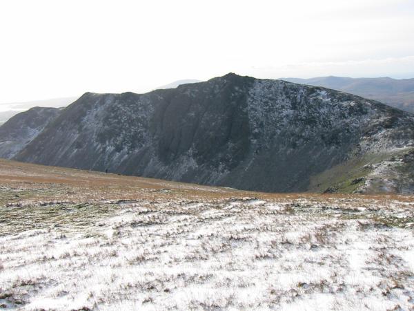
Prison Band, Swirl How
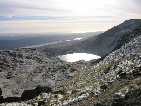
Levers Water with Coniston Water and the sea beyond from Prison Band, Swirl How
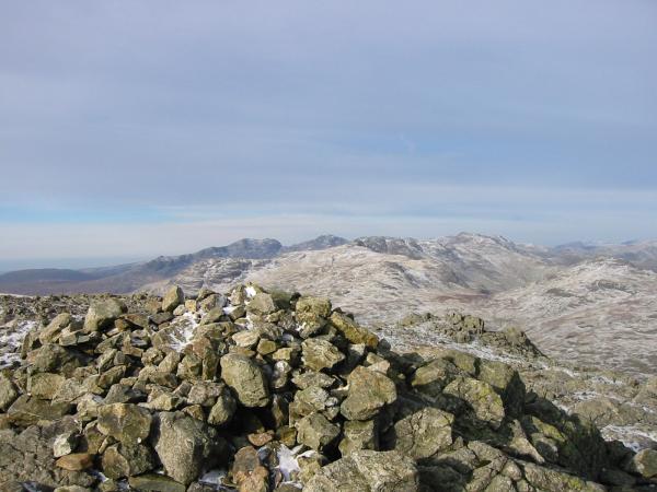
Wetherlam from Swirl How summit
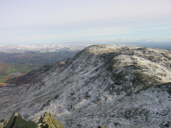
Grey Friar from Swirl How
Great Carrs from Swirl How summit
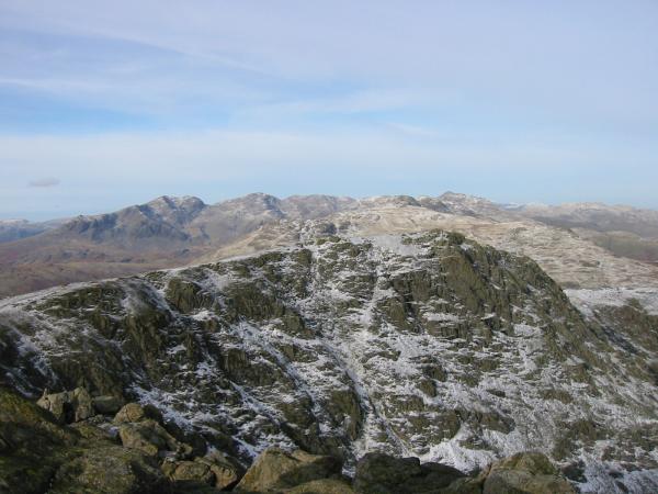
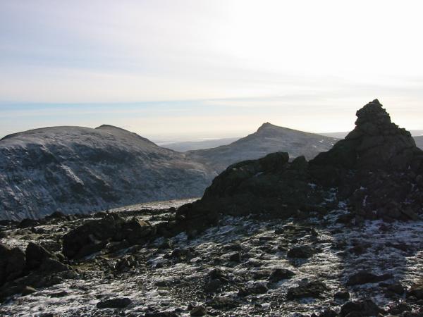
Swirl How from Great Carrs summit
Wetherlam from Great Carrs summit
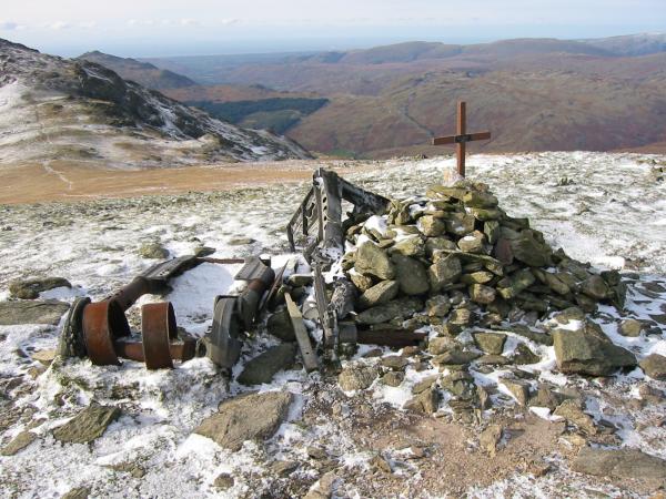
Halifax Bomber crash memorial, Great Carrs
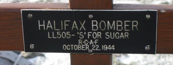
Halifax Bomber crash memorial, Great Carrs
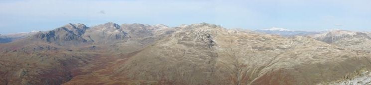
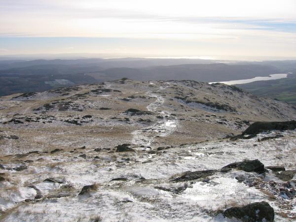
Panorama north from Grey Friar summit
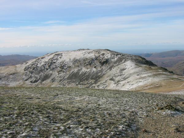
Brim Fell, Coniston Old Man and Dow Crag from Grey Friar summit
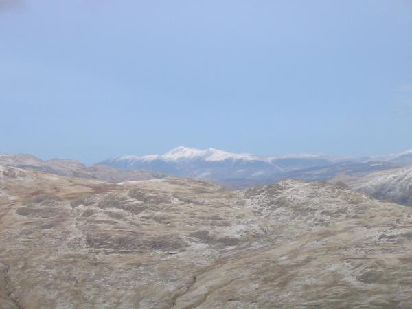
Skiddaw from Grey Friar summit (18 miles away)
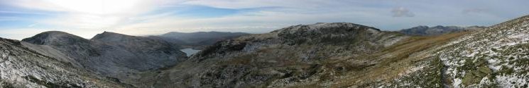
Westerly panorama from the traverse below Swirl How summit
Swirl How from the north ridge of Brim Fell
Coniston Old Man from Brim Fell summit
The Scafells from Brim Fell summit
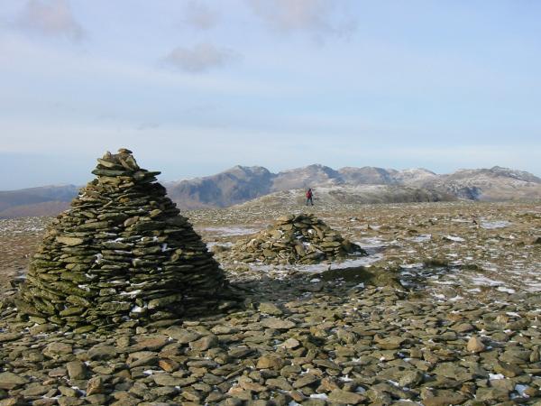
Dow Crag from the ridge between Brim Fell and Coniston Old Man
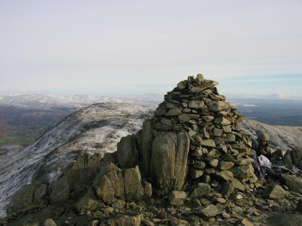
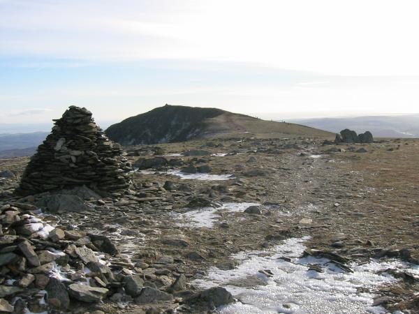
Coniston Old Man summit
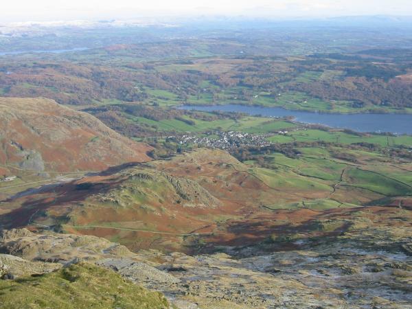
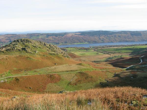
Coniston village from Coniston Old Man
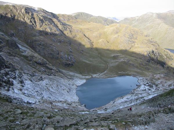
Low Water
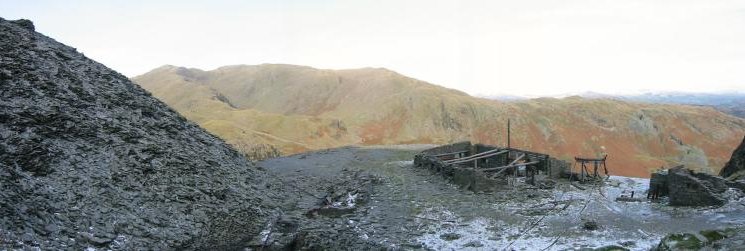
Wetherlam from the mine working, Coniston Old Man
The Bell and the quarry road, Coniston Old Man and Coniston Water
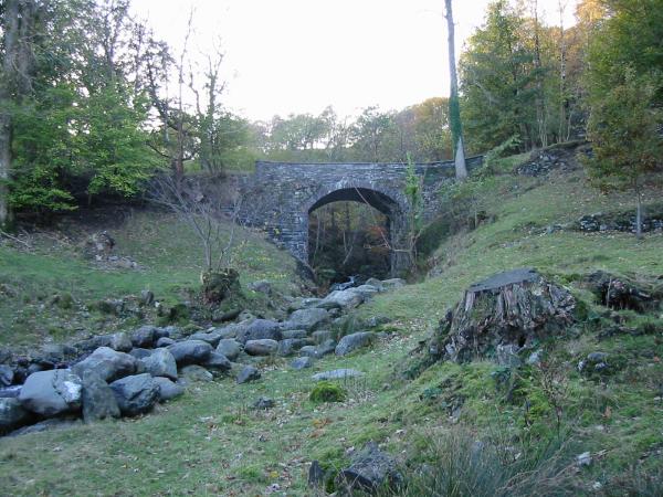
Disused railway bridge, Coniston
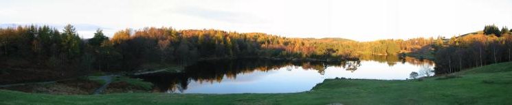
Tarn Hows (taken during a quick stop on the way home)
Previous Walk: Glenridding circuit (Fri 19 Oct 2001)
Next Walk: Wansfell (Sun 11 Nov 2001)