Grey Friar from Wrynose Pass
Sun 12 Oct 2014
Route: Wrynose Pass - Wet Side Edge - Hell Gill Pike - Little Carrs - Great Carrs - Swirl How - Fairfield - Grey Friar - Fairfield - Wet Side Edge - Wrynose Pass
Distance: 4.75 miles
Ascent: 1,750ft
Time: 2 hours 45 minutes
With: On Own
Notes:
Lots of blue sky and sunshine, no wind. In cloud for the last bit.
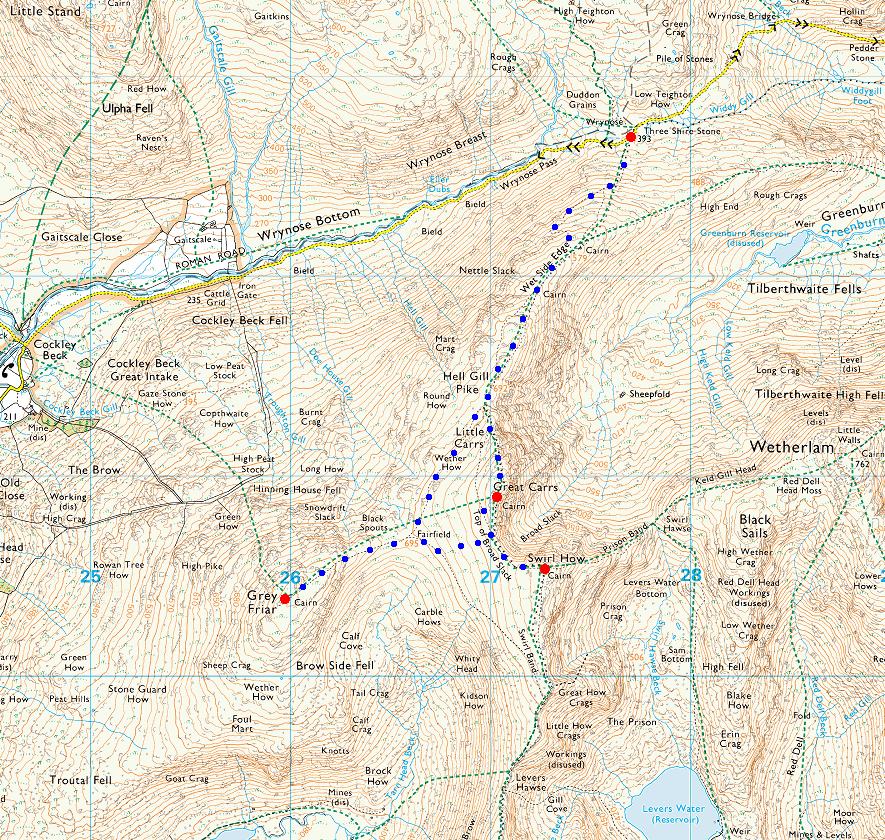
© Crown copyright. All rights reserved. Licence number AL100038401
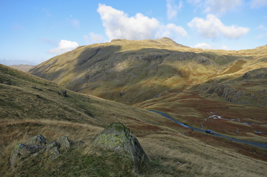
Looking over Wrynose Pass to Cold Pike
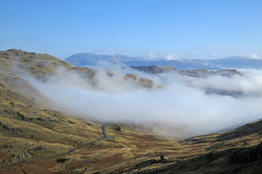
Cloud in Little Langdale
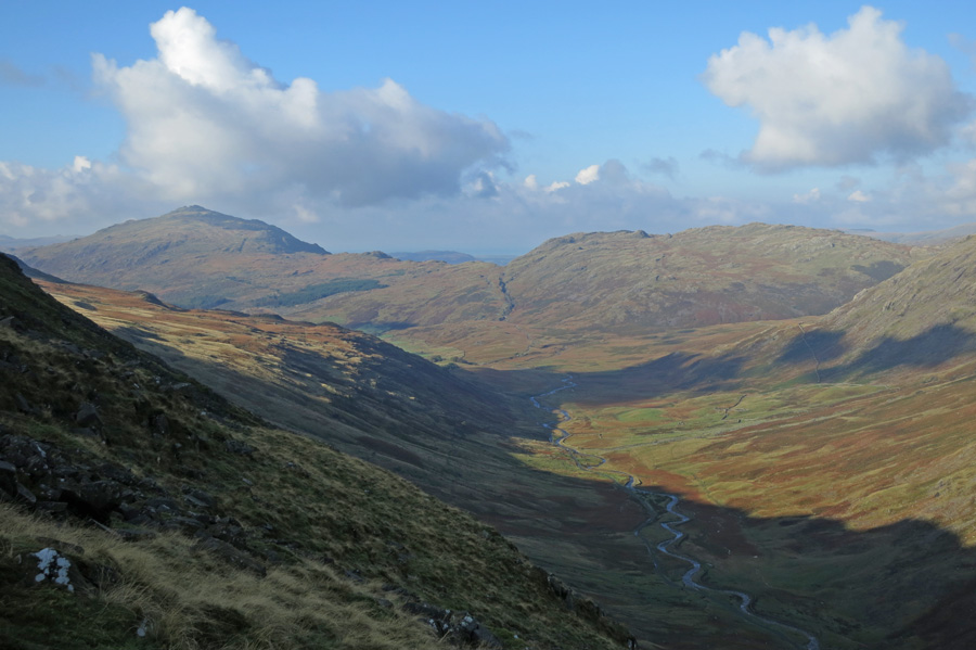
Wrynose Bottom with Harter Fell and Hard Knott in the distance
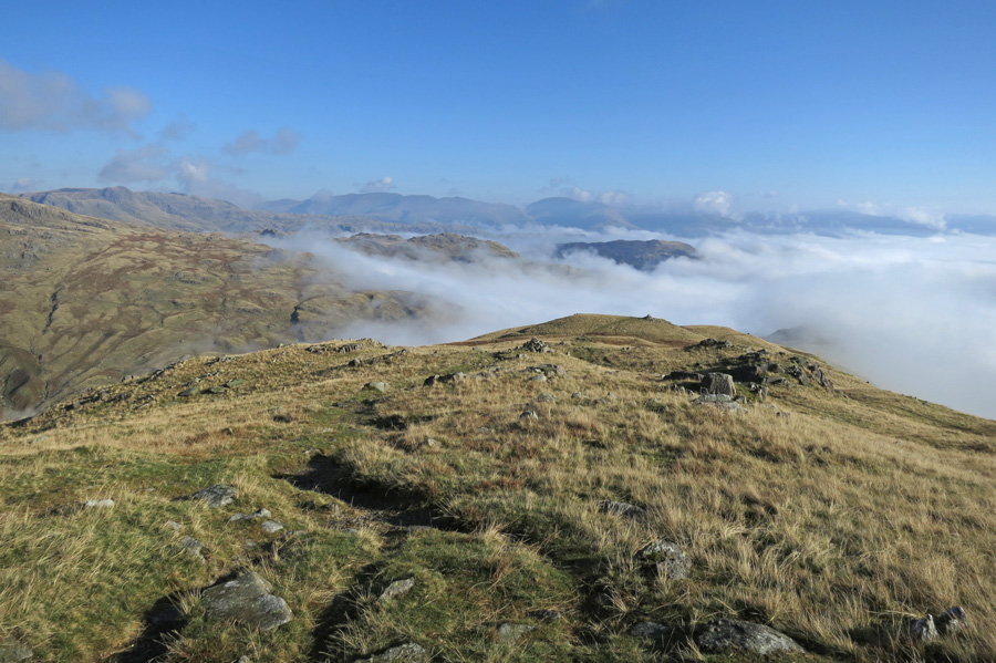
Looking back down Wet Side Edge
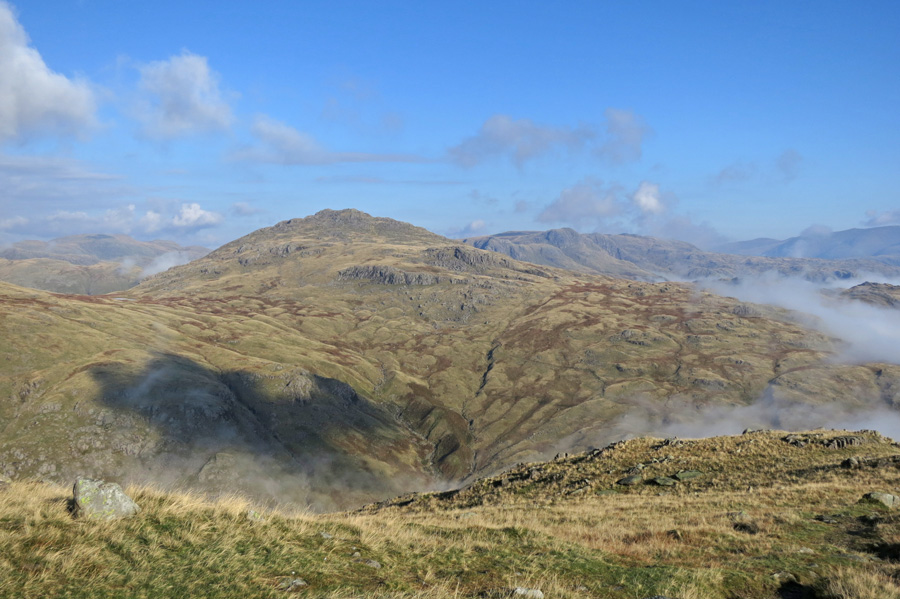
Pike O'Blisco
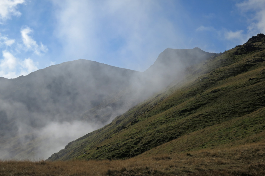
Swirl How and Great Carrs
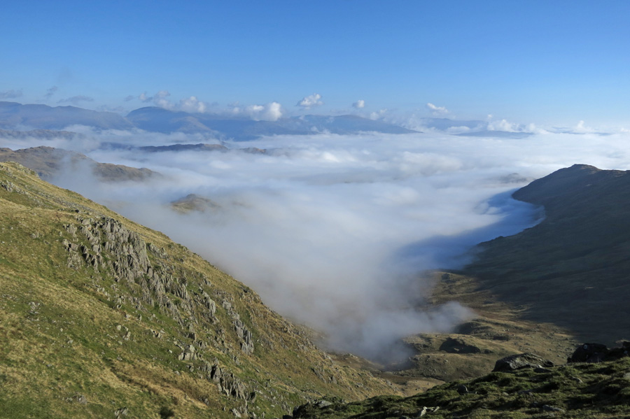
Greenburn inversion
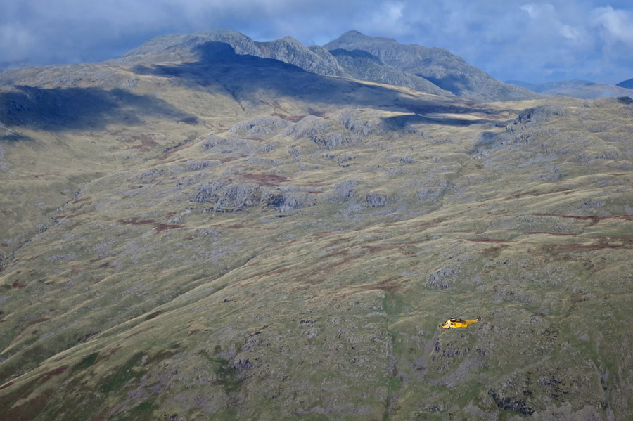
Crinkle Crags and Bowfell
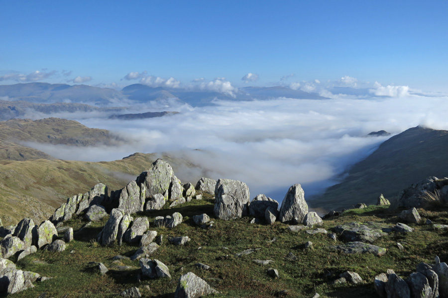
Windermere is under a sea of cloud
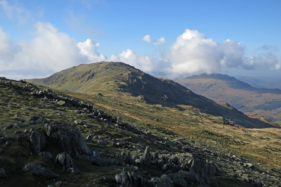
Looking across to Grey Friar
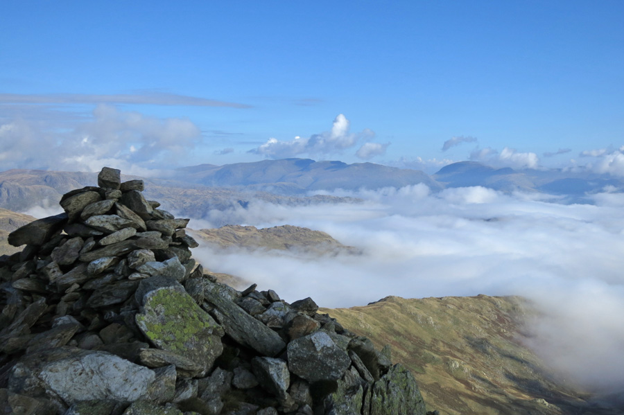
Great Carrs summit cairn
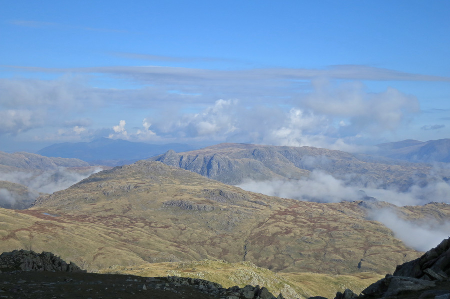
Pike O'Blisco with the Langdale Pikes beyond
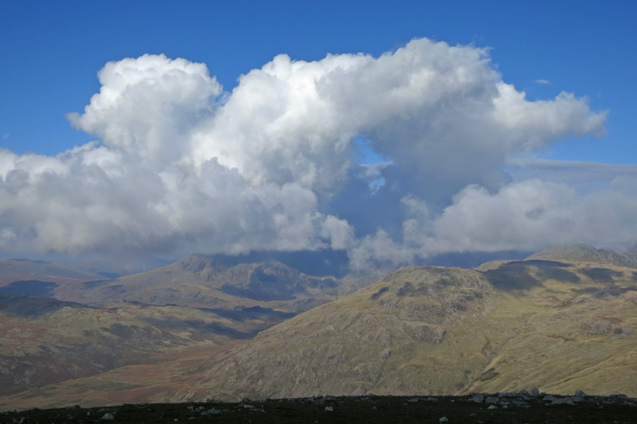
The Scafells are under cloud
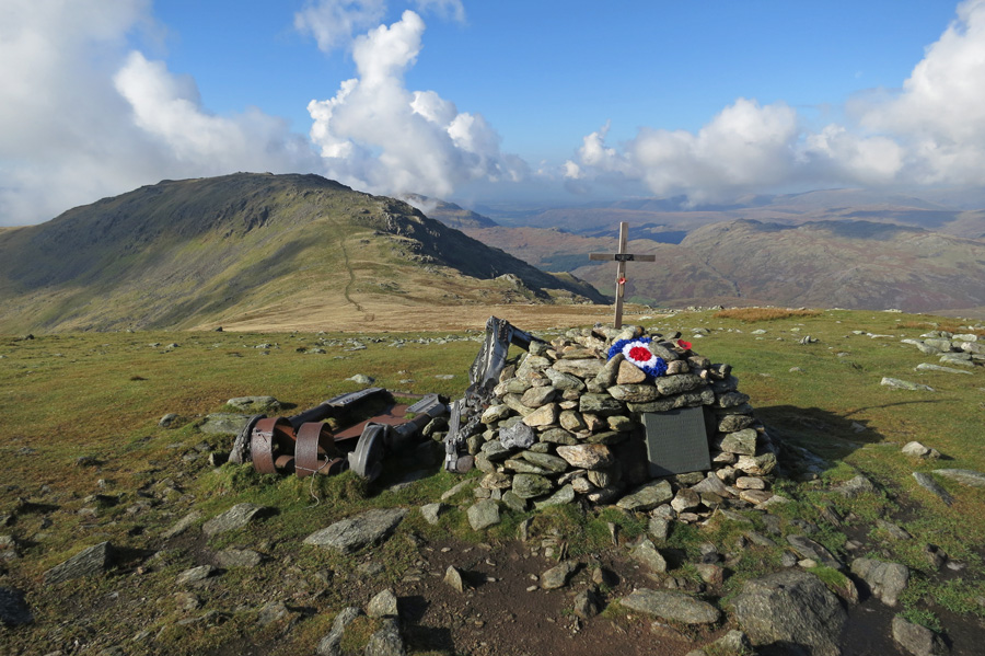
Halifax Bomber crash memorial, Great Carrs
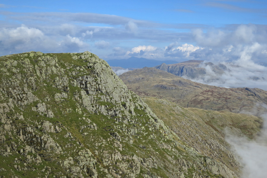
Looking back to Great Carrs as I head up Swirl How
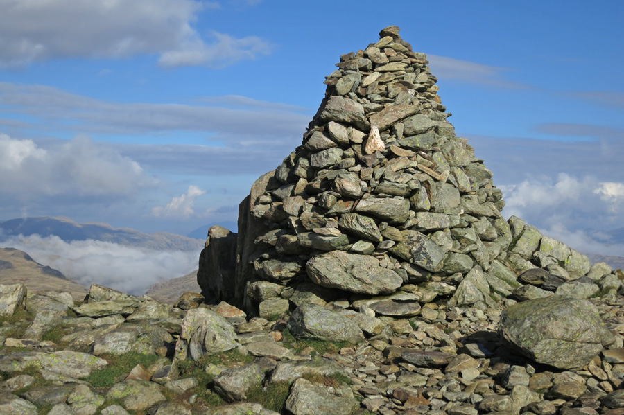
Swirl How's large summit cairn
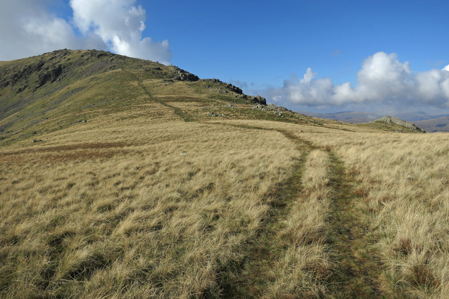
Grey Friar from Fairfield
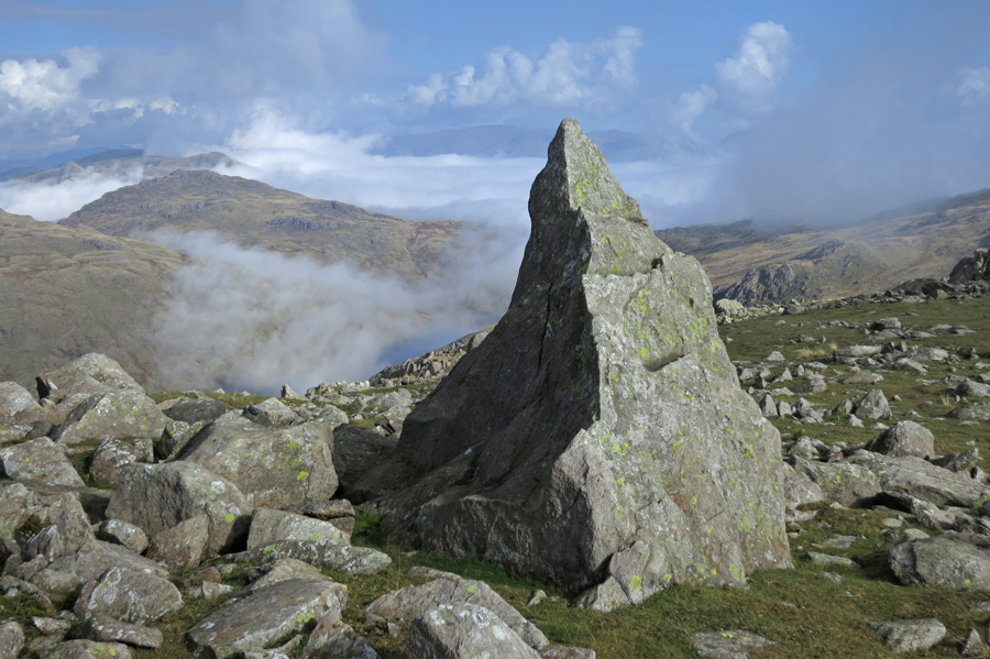
The 'Matterhorn Rock' on Grey Friar
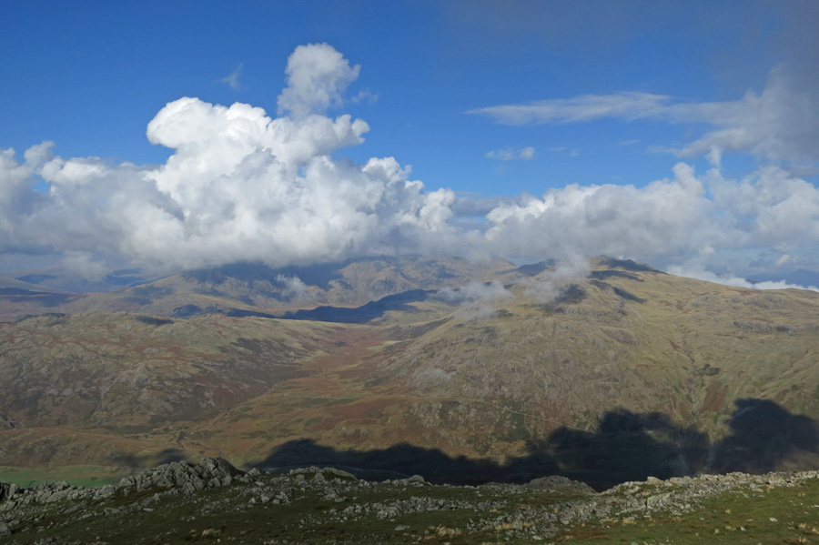
Cloud still hides the Scafells
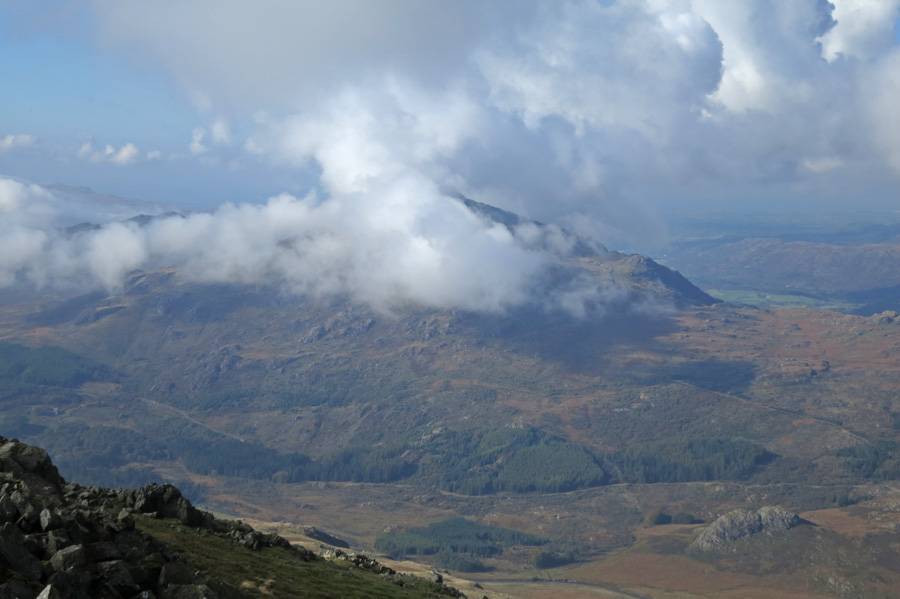
Harter Fell
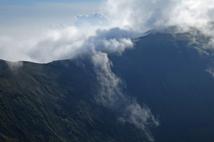
Levers Hawse
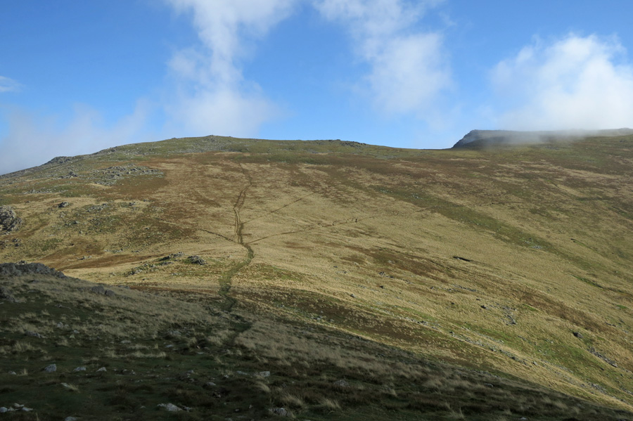
Fairfield and Great Carrs
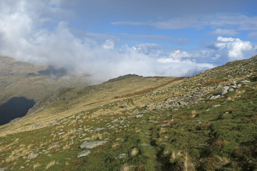
Heading back to Wet Side Edge as the cloud starts to rise
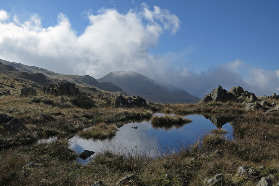
Looking back to Grey Friar
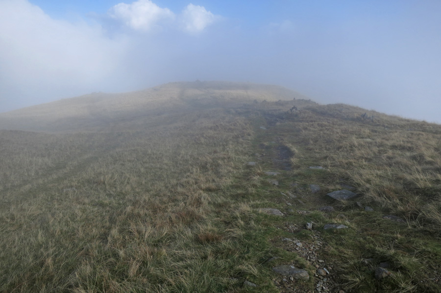
Entering the cloud of Wet Side Edge
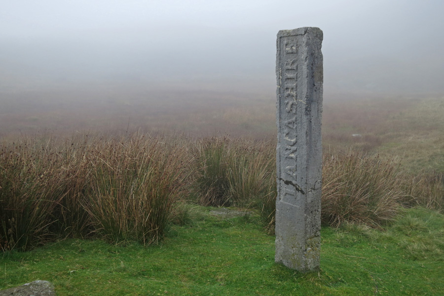
Three Shire Stone at the top of Wrynose Pass
Previous Walk: Circuit of Buttermere (Sat 4 Oct 2014)
Next Walk: Some back o' Skidda fells (Tue 14 Oct 2014)
